2010s Maps of Wayne County, Indiana
Explore 64 historic maps of Wayne County from the 2010s. These maps offer a rare glimpse into what life looked like during the 2010s — showing old roads, neighborhoods, homes, and landmarks that have changed or disappeared over time.
Whether you're researching your family's past, planning a metal detecting trip, or studying how Wayne County's landscape evolved across the 2010s, these high-resolution maps are a powerful tool for exploring the history of this region.
- Focus on a specific era: All maps on this page are from the 2010s, giving you a focused view of this time period.
- See what’s changed: Compare century-old streets, trails, and buildings to today's modern landscape using overlays and satellite layers.
- Research with precision: Use these maps for genealogy, historical research, land use analysis, or educational projects.
- View, download, or print: Maps are fully viewable online in high resolution, and can be downloaded or printed for your own records.
Start exploring Wayne County's history through authentic maps from the 2010s. This is your window into the past.
Wayne County, IN maps
(64)- 2010 Map of Cambridge City, 2010 Print
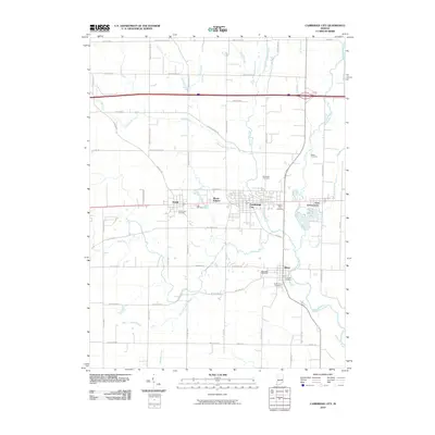 2010 Cambridge City2010 Print · USGSEastern Indiana settlements thrive along the Whitewater River corridor at the start of the twenty-first century. Genealogists and historians can trace family lines through several local burial sites like Friends Cemetery, Beard Cemetery, and Riverside Cemetery.
 - 2010 Map of Liberty, 2010 Print
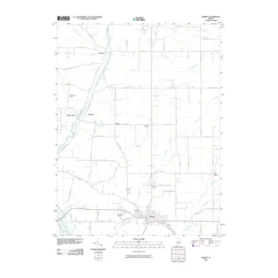 2010 Liberty2010 Print · USGSThe town of Liberty and its surrounding Union County farmland are captured here in the early twenty-first century. Genealogists can trace family roots through numerous burial grounds like West Point Cemetery, Patterson Cemetery, and the riverfront settlement of Abington.
 - 2010 Map of Fountain City, 2010 Print
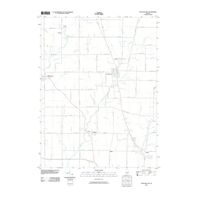 2010 Fountain City2010 Print · USGSWayne County is shown here in the early twenty-first century, centered on the historic crossroads of Fountain City. Genealogists can trace family sites across the countryside at Old Concord Cemetery, Dover Cemetery, and the village of Williamsburg.
 - 2010 Map of Connersville, 2010 Print
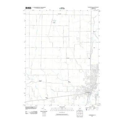 2010 Connersville2010 Print · USGSIndiana's Fayette County landscape is captured here in the early twenty-first century, centered on the urban hub of Connersville. Genealogists and local historians can trace small communities like Bentonville, Beesons, and the rural junction of Tyner Crossing.
 - 2010 Map of Carlos, 2010 Print
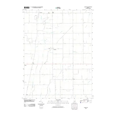 2010 Carlos2010 Print · USGSRandolph County, Indiana, maintains its traditional agricultural character in the early twenty-first century. Genealogists and local historians can trace family ties through Salem Cemetery and the rural settlements of Modoc, Huntsville, and Carlos.
 - 2010 Map of Modoc, 2010 Print
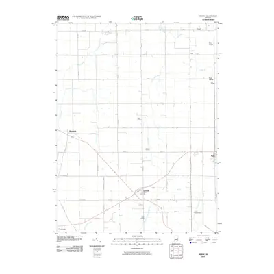 2010 Modoc2010 Print · USGSHenry and Randolph Counties in the early twenty-first century reveal a landscape of crossroads towns and ancestral cemeteries. Genealogists can trace family roots at Riverside Cemetery or Nettle Creek Cemetery and explore the rural outskirts of Losantville and Blountsville.
 - 2010 Map of Jacksonburg, 2010 Print
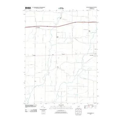 2010 Jacksonburg2010 Print · USGSWayne County agriculture and historic crossroads are captured here as the new millennium begins. Genealogists can trace family names at United Brethren Cemetery or explore the rural surroundings of Hoover Mill and Jacksonburg.
 - 2010 Map of Greens Fork, 2010 Print
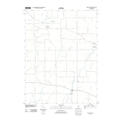 2010 Greens Fork2010 Print · USGSWayne County’s agricultural landscape is documented here in the early twenty-first century, showing the established layouts of Economy, Williamsburg, and Greens Fork. Researchers can trace family sites near Fairfield Cemetery or follow the paths of Indian Trail Rd and Martindale Creek.
 - 2010 Map of Hagerstown, 2010 Print
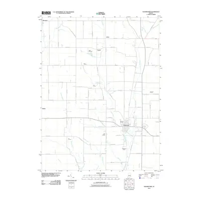 2010 Hagerstown2010 Print · USGSHagerstown and its surrounding Wayne County countryside are captured here in the early twenty-first century as the regional hub for local river valleys. Researchers can trace family history through numerous burial sites like Brick Church Cemetery and Bales Cemetery, or locate the Hagerstown Airport along the Whitewater River.
 - 2010 Map of Richmond, 2010 Print
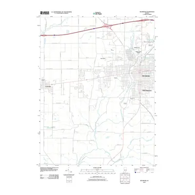 2010 Richmond2010 Print · USGSRichmond and its surrounding Wayne County neighborhoods are captured in detail during the early 21st century. Researchers can trace family history through numerous burial sites like Earlham Cemetery and King Cemetery, or locate landmarks like the Middle Fork Reservoir.
 - 2010 Map of Brownsville, 2010 Print
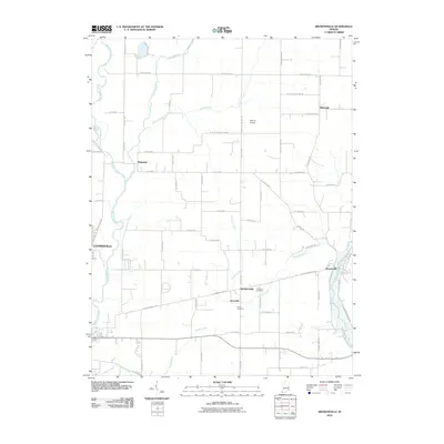 2010 Brownsville2010 Print · USGSThe eastern Indiana countryside near the Union and Fayette county line is shown here at the start of the 2010s. Researchers can trace rural lineages through sites like Simpson Cemetery, the small community of Philomath, and the banks of the Whitewater River.
 - 2010 Map of Lynn, 2010 Print
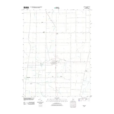 2010 Lynn2010 Print · USGSThe rural landscape of Randolph County is captured here in the early twenty-first century, centered on the crossroads town of Lynn. Genealogists and local historians can locate several burial sites, including Mount Pleasant Cemetery, or trace the winding courses of Snow Run and Greens Fork.
 - 2010 Map of Whitewater, 2010 Print
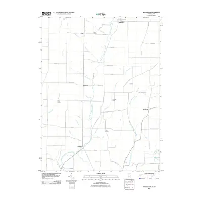 2010 Whitewater2010 Print · USGSThe Indiana-Ohio borderlands come into focus here, showing the rural communities and watersheds of the early twenty-first century. Genealogists can locate family landmarks at Friendship Cemetery, the settlement of Braffetsville, and Bethel Cemetery.
 - 2010 Map of Fairhaven, 2010 Print
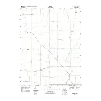 2010 Fairhaven2010 Print · USGSThis rural corridor along the Indiana-Ohio border highlights a landscape of scattered agricultural hamlets and creek-side settlements in the early twenty-first century. Genealogists and local historians can trace family ties at Concord Cemetery and find landmarks like Harshman Bridge or Goodwins Corner.
 - 2010 Map of New Paris, 2010 Print
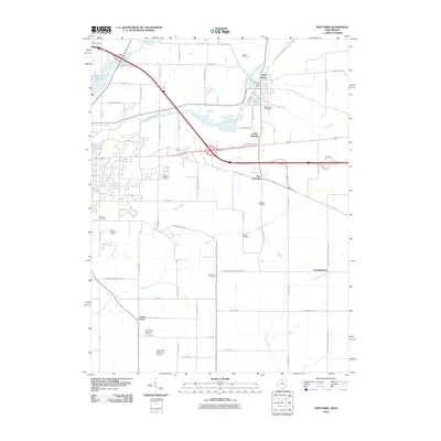 2010 New Paris2010 Print · USGSThe Indiana-Ohio borderlands at the start of the 21st century show a landscape of established hamlets and essential transport hubs. Genealogists can trace family names through Spring Lawn Cemetery or Ridge Cemetery while exploring the areas around New Westville and New Paris.
 - 2010 Map of Spartanburg, 2010 Print
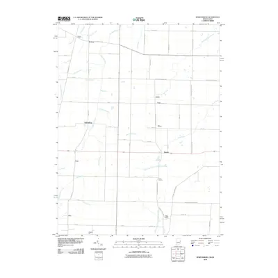 2010 Spartanburg2010 Print · USGSThe Indiana-Ohio state line corridor comes into focus in this recent survey of Randolph and Darke Counties. Genealogists can trace family roots through numerous burial grounds like Chapel Cemetery or locate the rural crossroads of Spartanburg, Glen Karn, and Crete.
 - 2013 Map of Fountain City, 2013 Print
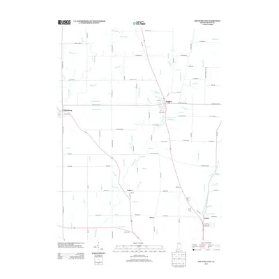 2013 Fountain City2013 Print · USGSWayne County at the start of the 2010s reveals a structured agricultural landscape between Fountain City and Williamsburg. Researchers can trace local landmarks and property access along Davis Meyers Rd, Webster Cr, and the grounds of Young Stadium.
 - 2013 Map of Lynn, 2013 Print
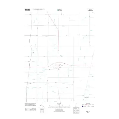 2013 Lynn2013 Print · USGSRandolph County's rural landscape is captured here in the early twenty-first century, centered on the crossroads of Lynn. Local historians can trace the intricate drainage of Greens Fork and the White River alongside old settlements like Bloomingport and Snow Hill.
 - 2013 Map of Liberty, 2013 Print
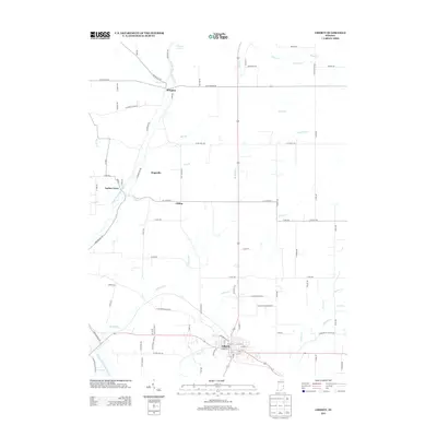 2013 Liberty2013 Print · USGSUnion County's landscape in the early 2010s reveals a timeless network of small settlements and meandering creek valleys. Genealogists and local historians can trace family land ties near the E Fork Whitewater River or throughout the crossroads communities of Abington, Hopeville, and Liberty.
 - 2013 Map of Spartanburg, 2013 Print
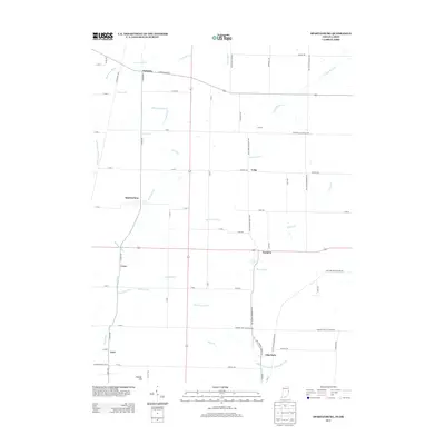 2013 Spartanburg2013 Print · USGSThe Indiana-Ohio state line passes through this agricultural region just after the turn of the millennium. Genealogists and local historians can trace the quiet crossroads of Spartanburg, Glen Karn, and Arba near the high ground of Hoosier Hill.
 - 2013 Map of Whitewater, 2013 Print
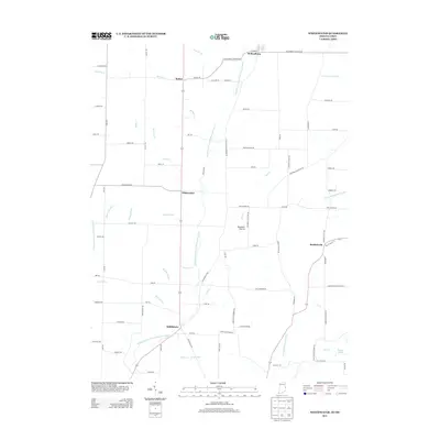 2013 Whitewater2013 Print · USGSThe Indiana-Ohio borderlands come into focus in the early 2010s, showing a landscape shaped by the Middle Fork E Fork Whitewater River. Researchers can trace the rural layout of crossroad settlements like Bethel, Middleboro, and the ecological features of Sunbeam Prairie.
 - 2013 Map of Cambridge City, 2013 Print
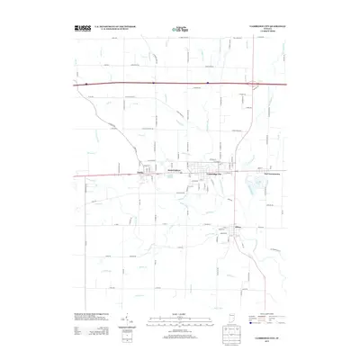 2013 Cambridge City2013 Print · USGSThe National Road corridor in western Wayne County is shown here in the early 21st century, featuring the cluster of historic villages centered on Cambridge City. Genealogists and local historians can trace the streets of Dublin, Milton, and East Germantown or locate landmarks like Hi-Way Springs.
 - 2013 Map of Greens Fork, 2013 Print
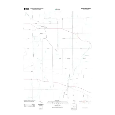 2013 Greens Fork2013 Print · USGSWayne County's rural interior comes into focus in this early twenty-first-century survey of the land surrounding Greens Fork and Economy. Researchers can trace the path of Martindale Cr and Morgan Cr across a landscape dotted with sites like Osborne Lakes.
 - 2013 Map of Hagerstown, 2013 Print
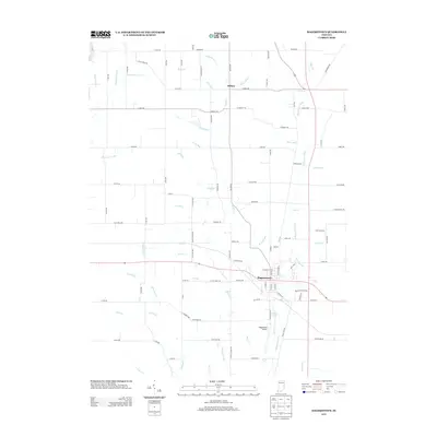 2013 Hagerstown2013 Print · USGSHagerstown and the surrounding Wayne County farmland are shown here in the early twenty-first century, centered on the historic river junction. Family researchers can trace properties near Dalton or locate the Hagerstown Airport and Scout Lake.
 - 2013 Map of Jacksonburg, 2013 Print
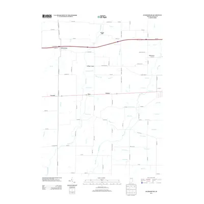 2013 Jacksonburg2013 Print · USGSWayne County’s agricultural heartland is captured here in the early twenty-first century, showcasing a landscape of enduring rural settlements and complex waterways. Genealogists and local historians can trace family-named landmarks and historical crossroads like Hoover Mill, Jacksonburg, and College Corner.
Showing maps 1-25 of 64
Top cities of Wayne County
- Richmond historical maps
- Centerville historical maps
- Cambridge City historical maps
- Hagerstown historical maps
- Webster historical maps
- Abington historical maps
See more
Frequently asked questions
- What are the different types of historical maps available for Wayne County?
- What is the oldest map of Wayne County?
- Where can I purchase historical maps of Wayne County for my home or office?
- Where can I download high-res historical maps of Wayne County?
- Are there historical topographic maps available for Wayne County?
- Is there historical aerial imagery available for Wayne County?
- Where are historical maps of Wayne County sourced from?