2020s Maps of Wayne County, Indiana
Explore 16 historic maps of Wayne County from the 2020s. These maps offer a rare glimpse into what life looked like during the 2020s — showing old roads, neighborhoods, homes, and landmarks that have changed or disappeared over time.
Whether you're researching your family's past, planning a metal detecting trip, or studying how Wayne County's landscape evolved across the 2020s, these high-resolution maps are a powerful tool for exploring the history of this region.
- Focus on a specific era: All maps on this page are from the 2020s, giving you a focused view of this time period.
- See what’s changed: Compare century-old streets, trails, and buildings to today's modern landscape using overlays and satellite layers.
- Research with precision: Use these maps for genealogy, historical research, land use analysis, or educational projects.
- View, download, or print: Maps are fully viewable online in high resolution, and can be downloaded or printed for your own records.
Start exploring Wayne County's history through authentic maps from the 2020s. This is your window into the past.
Wayne County, IN maps
(16)- 2022 Map of Brownsville, 2022 Print
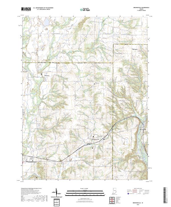 2022 Brownsville2022 Print · USGSTracing the borderlands of Fayette, Wayne, and Union counties, this modern survey illustrates a landscape shaped by the Whitewater River. Researchers will find numerous burial sites and small hamlets to explore, including Springersville, Lyonsville, and the historical Robinson Chapel Cem.
 - 2022 Map of Lynn, 2022 Print
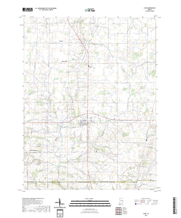 2022 Lynn2022 Print · USGSRandolph County in the early 2020s remains a landscape of quiet crossroads and historic farmsteads anchored by the town of Lynn. Researchers can trace the drainage of the White River headwaters and locate ancestral sites like Quaker Lynn Cem and the settlement of Bloomingport.
 - 2022 Map of Modoc, 2022 Print
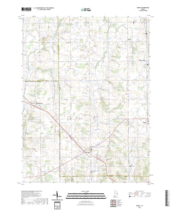 2022 Modoc2022 Print · USGSIndiana's eastern agricultural landscape is captured here during the early twenty-first century, centered on the crossroads of Losantville and Modoc. Researchers can trace local lineage through several burial sites like Nettle Creek Baptist Cem or follow the historic rail-to-trail conversion of the Cardinal Greenway Trl.
 - 2022 Map of Connersville, 2022 Print
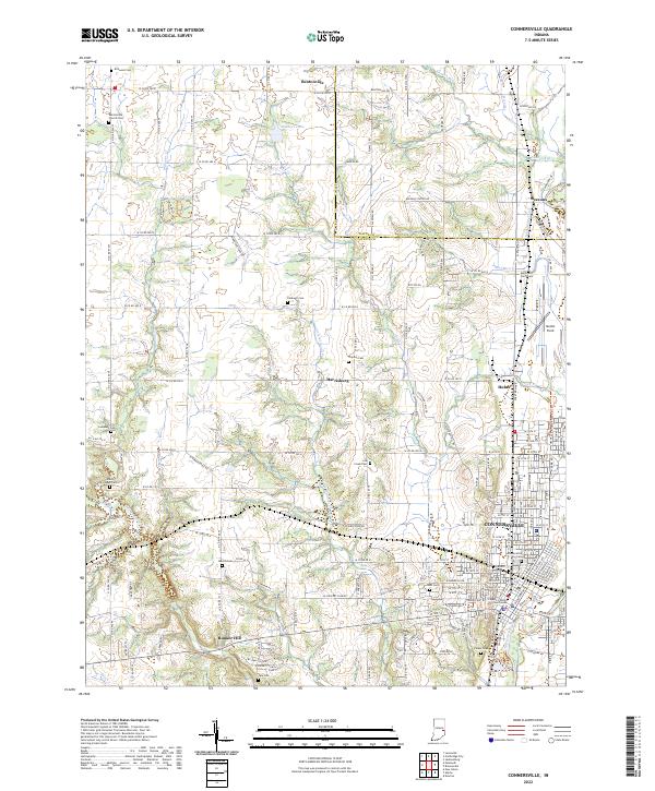 2022 Connersville2022 Print · USGSConnersville and the surrounding Fayette County rural landscape appear here in the early twenty-first century. Researchers can trace family history through numerous burial grounds like Wiley Chapel Cem or follow the historic Whitewater Canal and Whitewater Valley Railroad.
 - 2022 Map of Cambridge City, 2022 Print
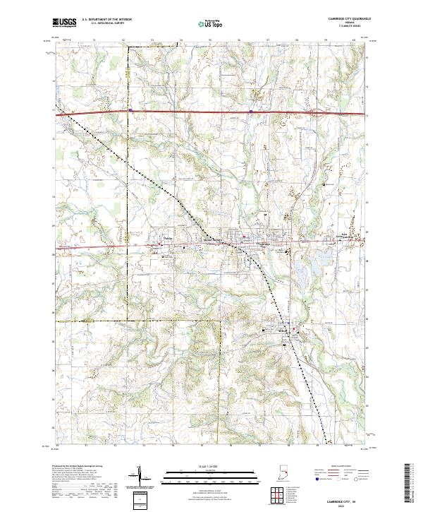 2022 Cambridge City2022 Print · USGSEastern Indiana’s Whitewater Valley communities are shown here in the 2020s, highlighting the enduring settlement patterns of Wayne and Fayette Counties. Family historians can trace local landmarks like Milford Friends Cem and the Nickle Plate Rd.
 - 2022 Map of Carlos, 2022 Print
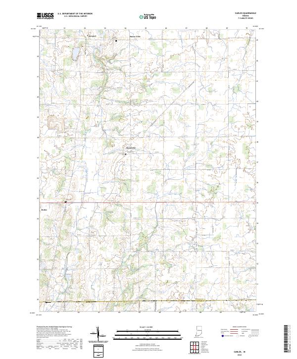 2022 Carlos2022 Print · USGSRandolph County's agricultural heartland is documented here in the early twenty-first century, showing a landscape shaped by both nature and drainage engineering. Researchers can trace ancestral sites at Salem Cem and Huntsville Cem or locate old watercourses like Cabin Cr.
 - 2022 Map of Spartanburg, 2022 Print
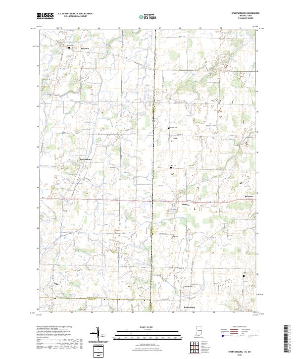 2022 Spartanburg2022 Print · USGSThe Indiana-Ohio borderlands come alive in this contemporary record of Randolph and Darke counties. Genealogists can locate family burial sites at Bartonia Cem and Clemens Cem while tracing the rural hamlets of Spartanburg, Arba, and Palestine.
 - 2022 Map of Jacksonburg, 2022 Print
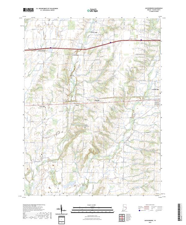 2022 Jacksonburg2022 Print · USGSWayne County agricultural life and small-town crossroads are preserved in this contemporary survey of the Indiana countryside. Genealogists can locate family burial sites at West Grove Cem or United Brethren Church Cem and trace old industrial sites like Hoover Mill.
 - 2022 Map of Hagerstown, 2022 Print
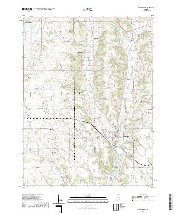 2022 Hagerstown2022 Print · USGSHagerstown and the Wayne-Henry county line are documented in this recent survey, showing the region's blend of rural heritage and modern infrastructure. Genealogists can trace numerous burial grounds like Brick Church Cem and Bell Cem, while outdoor enthusiasts can follow the Cardinal Greenway Trl.
 - 2022 Map of Greens Fork, 2022 Print
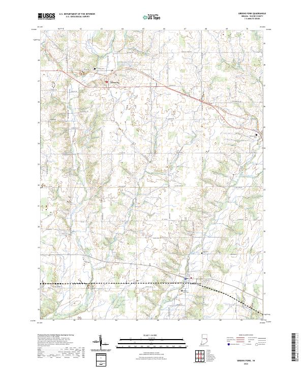 2022 Greens Fork2022 Print · USGSWayne County’s agricultural heartland is documented here in the early twenty-first century, showing the towns of Economy and Greens Fork. Researchers can trace old family lands via Mendenhall Rd and locate historic burial sites like Fairfield Cem and Economy Cem.
 - 2022 Map of Liberty, 2022 Print
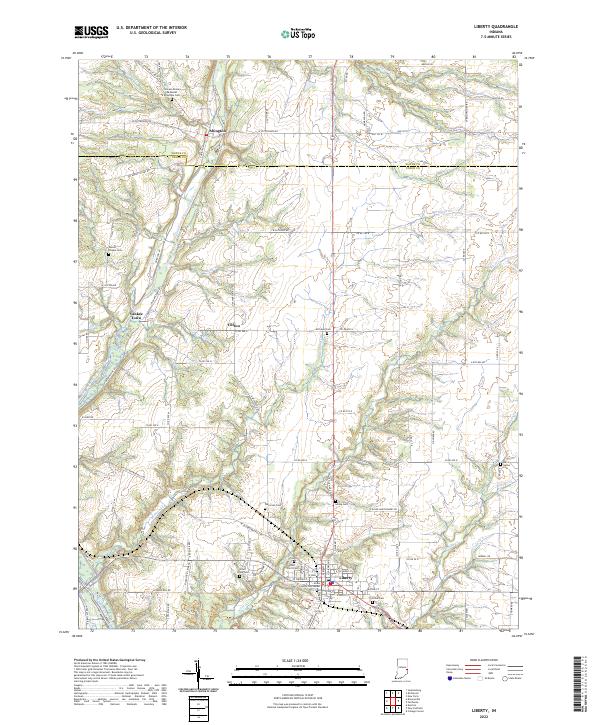 2022 Liberty2022 Print · USGSThe East Fork Whitewater River valley in Union County was well-established by the early 2020s. Genealogists can trace family lines across numerous burial sites like Richland Cem, Patterson Cem, and the Locust Grove Methodist Episcopal Cem.
 - 2022 Map of Fountain City, 2022 Print
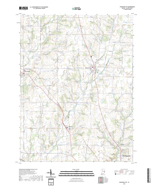 2022 Fountain City2022 Print · USGSWayne County settlement patterns and early rural cemeteries are preserved in this 2020s record of the Fountain City area. Researchers can trace family sites near Williamsburg, find the Willow Grove Cem, and follow the Cardinal Greenway Trl through Webster.
 - 2022 Map of Whitewater, 2022 Print
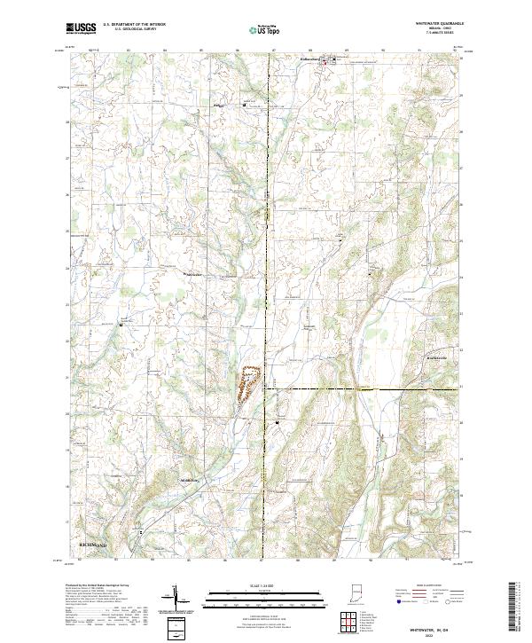 2022 Whitewater2022 Print · USGSSettlement and agriculture define this Indiana-Ohio borderland in the early twenty-first century. Genealogists can locate family landmarks like Mount Vernon Cem and Pleasant Hill Cem, or trace the paths of Whitewater and Middleboro.
 - 2022 Map of Richmond, 2022 Print
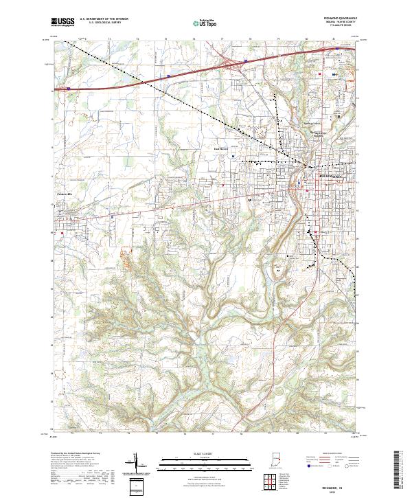 2022 Richmond2022 Print · USGSRichmond and Centerville appear here in the early 2020s, showcasing a landscape of established collegiate campuses and historic county seats. Genealogists can locate family sites near Old Centerville Cem, King Cem, and the Wayne County Courthouse.
 - 2023 Map of Fairhaven, 2023 Print
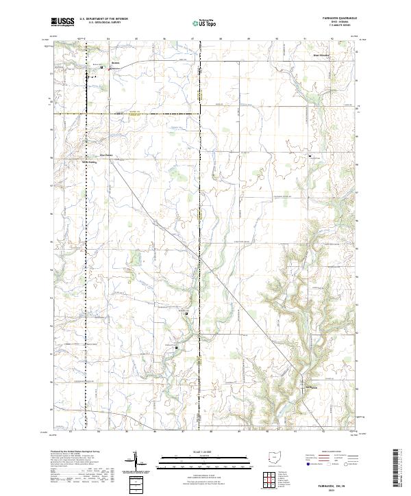 2023 Fairhaven2023 Print · USGSThe rural borderlands of Ohio and Indiana are captured here in a contemporary survey of the landscape around Fairhaven. Researchers can locate historic rural burial sites like Pentecost Cemetery and family-named landmarks including Norris Field.
 - 2023 Map of New Paris, 2023 Print
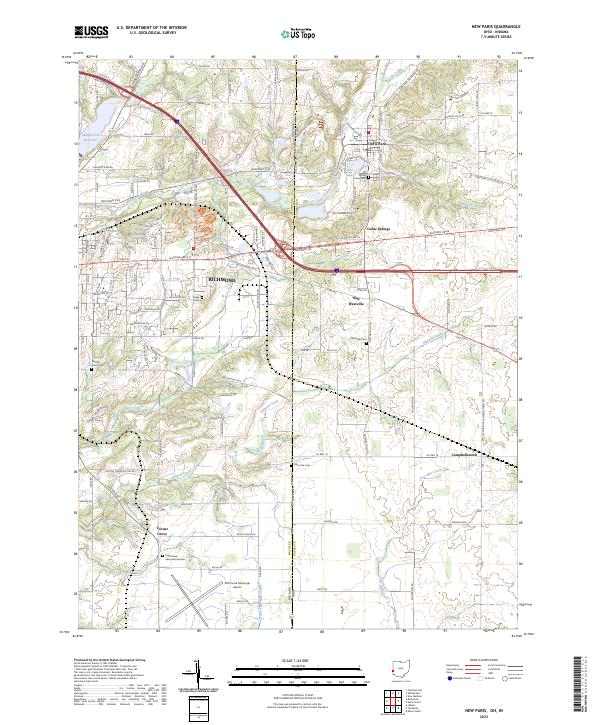 2023 New Paris2023 Print · USGSThe Indiana-Ohio state line serves as the centerpiece for this study of the borderlands between Richmond and New Paris in the early 2020s. Researchers can trace ancestral sites and rural landmarks like Ridge Cem, Campbellstown, and the Richmond Municipal Airport.
End of results
Showing maps 1-16 of 16
Top cities of Wayne County
- Richmond historical maps
- Centerville historical maps
- Cambridge City historical maps
- Hagerstown historical maps
- Webster historical maps
- Abington historical maps
See more
Frequently asked questions
- What are the different types of historical maps available for Wayne County?
- What is the oldest map of Wayne County?
- Where can I purchase historical maps of Wayne County for my home or office?
- Where can I download high-res historical maps of Wayne County?
- Are there historical topographic maps available for Wayne County?
- Is there historical aerial imagery available for Wayne County?
- Where are historical maps of Wayne County sourced from?