Old Maps of Centerville, Iowa for Metal Detecting
Plan your next treasure hunt with 32 historic maps of Centerville. Find old homesites, ghost towns, trails, and gathering spots that may be lost to time — perfect for identifying promising metal detecting locations.
- Locate forgotten sites: Uncover places like long-lost settlements, abandoned rail lines, or gathering spots.
- Plan better hunts: Use map overlays combined with LiDAR or satellite views to narrow in on historically rich areas.
- Made for detectorists: Thousands of hobbyists use these maps to discover relics, coins, and hidden history.
Use these historic maps to boost your research and find new opportunities beneath the surface of Centerville.
Centerville, IA maps
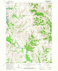
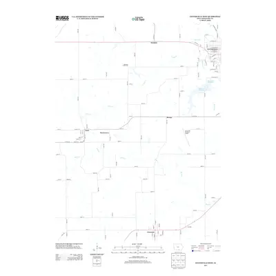
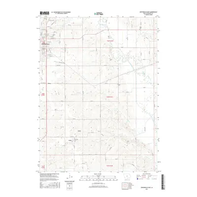
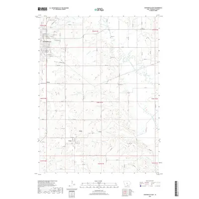
(32)- 1939 Map of Centerville, 1954 Print
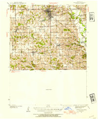 1939 Centerville1954 Print · USGSAppanoose County sits at a busy rail crossroads in the late thirties, just as the regional landscape was transitioning toward modern infrastructure. Genealogists can trace family footprints across dozens of rural landmarks like Cornbread College Sch, Jewish Cem, and Cincinnati.3 unique versions available
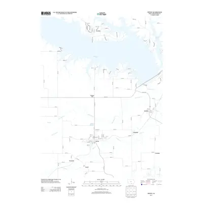
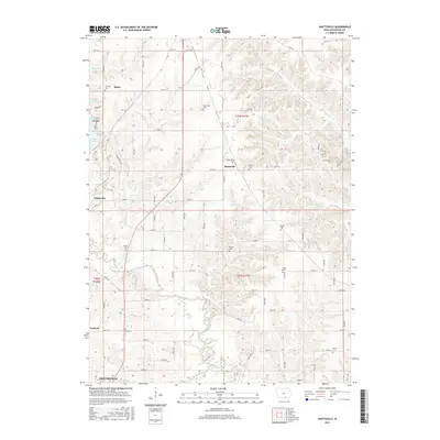
 - 1939 Map of Mystic, 1966 Print
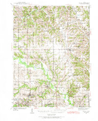 1939 Mystic1966 Print · USGSAppanoose County in the late thirties is a landscape of thriving rural townships and busy rail junctions. Genealogists and historians can trace family roots through numerous country schools like Buffalo Wallow Sch and churches such as Wesley Chapel.
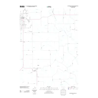
 - 1941 Map of Centerville
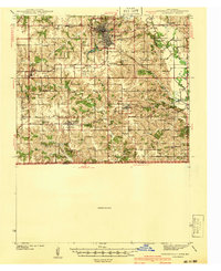 1941 Centerville1941 Print · USGSAppanoose County stands at a peak of rural development in the late thirties, where a dense network of railroads connects bustling border towns. Genealogists can trace family roots through numerous one-room schoolhouses like Cornbread College Sch and landmarks such as Livengod Cem.
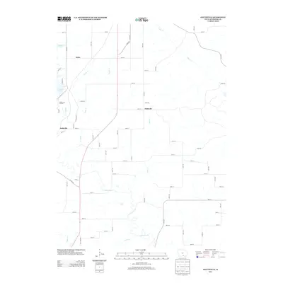
 - 1942 Map of Mystic
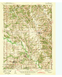 1942 Mystic1942 Print · USGSSouthern Iowa coal and rail communities are mapped here just before the mid-century, showing a landscape tied to the Chariton River. Researchers can trace rural school districts like Hedge College Sch and vanished mining-era stops including Brazil and Rathbun.
 - 1954 Map of Centerville, 1967 Print
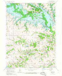
 1954 Centerville1967 Print · USGSThe Iowa-Missouri borderlands at mid-century reveal a landscape shaped by river valleys and the height of the regional rail network. Genealogists and historians can trace the paths of the Wabash railroad and locate old townsites like Mystic, Moulton, and Greentop.3 unique versions available
 - 1957 Map of Centerville
 1957 Centerville1957 Print · USGSThe Iowa-Missouri borderlands in the mid-fifties reveal a landscape of river-valley agriculture and vital rail corridors. Genealogists and historians can trace family-named landmarks and small-town growth in Centerville, Kirksville, and along the Wabash railroad line.
 - 1958 Map of Centerville
 1958 Centerville1958 Print · USGSThe Iowa-Missouri borderlands come into focus during the mid-fifties, showing a landscape defined by river valleys and intersecting rail lines. Genealogists and local historians can trace family roots through dozens of rural hubs like Bloomfield, Unionville, and Corydon.
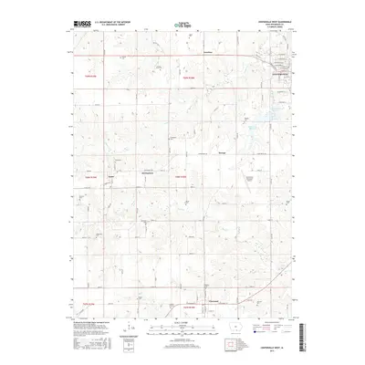
 - 1966 Map of Hiattsville, 1967 Print
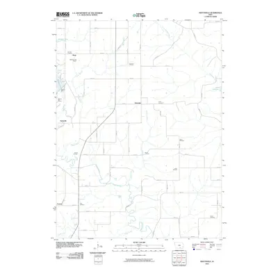
 1966 Hiattsville1967 Print · USGSAppanoose County enters a period of major change in the mid-1960s as the Chariton River valley is prepared for flooding. Genealogists and local historians can trace family plots at Salem Cem and New Hope Cem while scouting old rail stops like Maine and Hiattsville.
 - 1966 Map of Mystic, 1967 Print
 1966 Mystic1967 Print · USGSAppanoose County is captured during the mid-sixties transition as the Chariton River valley prepared for inundation. Researchers can trace the legacy of coal mining and rail travel through Mystic, Brazil, and the Rathbun Dam (under construction).
 - 1979 Map of Centerville East, 1980 Print
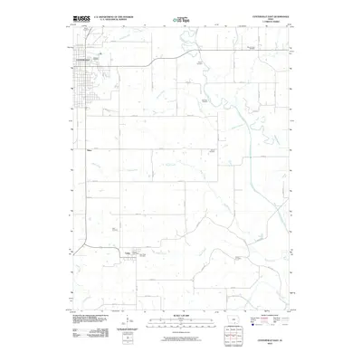
 1979 Centerville East1980 Print · USGSCenterville and the surrounding Appanoose County countryside are captured here in the late seventies. Researchers can trace the legacy of local coal or clay industries through Claypits and follow the rail history of the Old Railroad Grade and Exline.
 - 1979 Map of Centerville West, 1980 Print
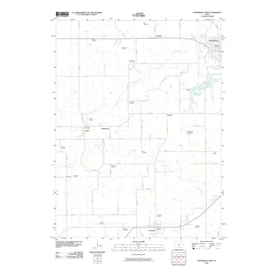
 1979 Centerville West1980 Print · USGSAppanoose County sits at a crossroads of industry and local tradition during the late seventies, as the coal mining legacy and rail networks continued to shape the land. Genealogists can trace numerous family plots including Felkner Cem and Hibbsville Cem near the historic Numa and Cincinnati settlements.
 - 1981 Map of Centerville, 1982 Print
 1981 Centerville1982 Print · USGSThe borderlands of southern Iowa and northern Missouri are captured here in the early eighties as Rathbun Lake and the Chariton River define the local geography. Researchers can trace historic rail lines like the Norfolk and Western and locate vanished hamlets such as Coal City and Glenwood Junction.
 - 2010 Map of Centerville East, 2010 Print
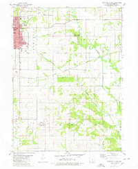
 2010 Centerville East2010 Print · USGSCovers Centerville, including Exline, Thirty, and other nearby areas
 - 2010 Map of Centerville West, 2010 Print
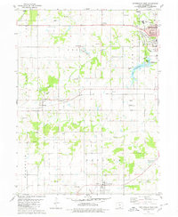
 2010 Centerville West2010 Print · USGSCovers Centerville, including Cincinnati, Numa, and other nearby areas
 - 2010 Map of Hiattsville, 2010 Print
 2010 Hiattsville2010 Print · USGSCovers Centerville, including Darbyville, Hiattsville, and other nearby areas
 - 2010 Map of Mystic, 2010 Print
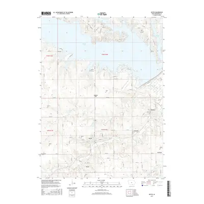
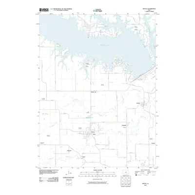 2010 Mystic2010 Print · USGSCovers Centerville, including Mystic, Rathbun, and other nearby areas
 - 2013 Map of Centerville West, 2013 Print
 2013 Centerville West2013 Print · USGSCovers Centerville, including Cincinnati, Numa, and other nearby areas
 - 2013 Map of Mystic, 2013 Print
 2013 Mystic2013 Print · USGSCovers Centerville, including Mystic, Rathbun, and other nearby areas
 - 2013 Map of Centerville East, 2013 Print
 2013 Centerville East2013 Print · USGSCovers Centerville, including Exline, Thirty, and other nearby areas
 - 2013 Map of Hiattsville, 2013 Print
 2013 Hiattsville2013 Print · USGSCovers Centerville, including Darbyville, Hiattsville, and other nearby areas
 - 2015 Map of Centerville East, 2015 Print
 2015 Centerville East2015 Print · USGSCovers Centerville, including Exline, Thirty, and other nearby areas
 - 2015 Map of Hiattsville, 2015 Print
 2015 Hiattsville2015 Print · USGSCovers Centerville, including Darbyville, Hiattsville, and other nearby areas
 - 2015 Map of Centerville West, 2015 Print
 2015 Centerville West2015 Print · USGSCovers Centerville, including Cincinnati, Numa, and other nearby areas
 - 2015 Map of Mystic, 2015 Print
 2015 Mystic2015 Print · USGSCovers Centerville, including Mystic, Rathbun, and other nearby areas
 - 2018 Map of Centerville East, 2018 Print
 2018 Centerville East2018 Print · USGSCovers Centerville, including Exline, Thirty, and other nearby areas
Showing maps 1-25 of 32
Top cities near Centerville
- Moravia historical maps
- Moulton historical maps
- Mystic historical maps
- Cincinnati historical maps
- Exline historical maps
- Unionville historical maps
See more
Frequently asked questions
- What are the different types of historical maps available for Centerville?
- What is the oldest map of Centerville?
- Where can I purchase historical maps of Centerville for my home or office?
- Where can I download high-res historical maps of Centerville?
- Are there historical topographic maps available for Centerville?
- Is there historical aerial imagery available for Centerville?
- Where are historical maps of Centerville sourced from?