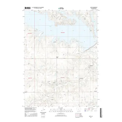
2015 Map of Mystic
USGS Topo · Published 2015About this map
Mystic and the surrounding Appanoose County landscape are defined by a network of small watercourses and rural settlements north of the Missouri border. The northern reach is dominated by the expansive Rathbun Lake, where irregular finger-like inlets such as those near Honey Creek PL and Buck LN meet the terrain. South of the lake, the topography is carved by Walnut Cr and its tributary, Little Walnut Cr, which flow past the established town centers of Walnut City and Brazil.
Find a feature on this map
87 named features on this map. Tap any name to fly to it.
Don’t see what you’re looking for? This feature index may not catch every label — zoom into the map to look around manually.
Map Details
Editions of this 2015 Mystic Map
This is the sole edition of this map. No revisions or reprints were ever made.
Other maps of this area

1935 · Russell
USGS Topo · 1:62,500

1938 · Russell
USGS Topo · 1:62,500

1939 · Centerville
USGS Topo · 1:62,500

1939 · Mystic
USGS Topo · 1:62,500

1941 · Centerville
USGS Topo · 1:62,500

1942 · Mystic
USGS Topo · 1:62,500

1942 · Seymour
USGS Topo · 1:62,500

1944 · Seymour
USGS Topo · 1:62,500

1954 · Centerville
USGS Topo · 1:250,000

1957 · Centerville
USGS Topo · 1:250,000