2000s (21st Century) Maps of Quimby, Iowa
Explore 10 historic maps of Quimby from the 2000s (21st Century). These maps offer a rare glimpse into what life looked like during the 2000s — showing old roads, neighborhoods, homes, and landmarks that have changed or disappeared over time.
Whether you're researching your family's past, planning a metal detecting trip, or studying how Quimby's landscape evolved across the 2000s, these high-resolution maps are a powerful tool for exploring the history of this region.
- Focus on a specific era: All maps on this page are from the 2000s, giving you a focused view of this time period.
- See what’s changed: Compare century-old streets, trails, and buildings to today's modern landscape using overlays and satellite layers.
- Research with precision: Use these maps for genealogy, historical research, land use analysis, or educational projects.
- View, download, or print: Maps are fully viewable online in high resolution, and can be downloaded or printed for your own records.
Start exploring Quimby's history through authentic maps from the 2000s. This is your window into the past.
Quimby, IA maps
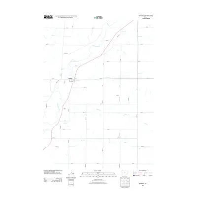
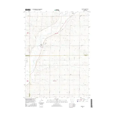
(10)- 2010 Map of Washta, 2010 Print
 2010 Washta2010 Print · USGSCovers Quimby, including Washta, Woodbury County, and other nearby areas
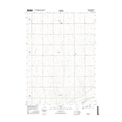
 - 2010 Map of Quimby, 2010 Print
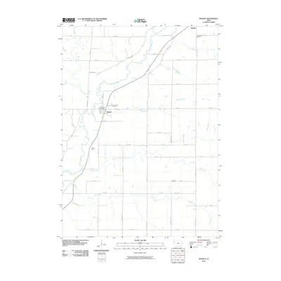
 2010 Quimby2010 Print · USGSCovers Quimby, including Mary Hill, Cherokee County, and other nearby areas
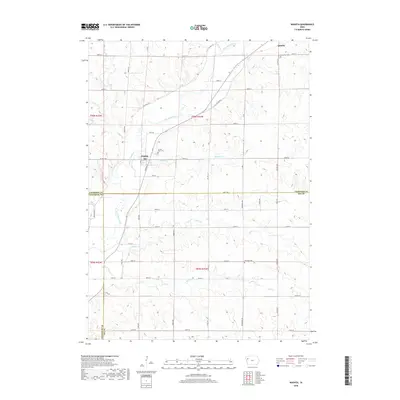
 - 2013 Map of Washta, 2013 Print
 2013 Washta2013 Print · USGSCovers Quimby, including Washta, Woodbury County, and other nearby areas
 - 2013 Map of Quimby, 2013 Print
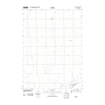
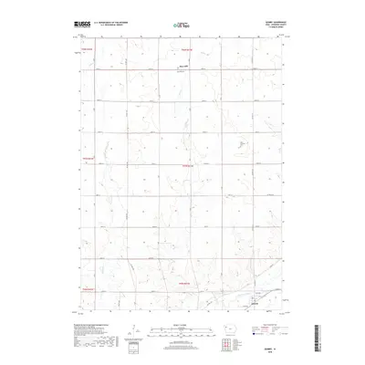
 2013 Quimby2013 Print · USGSCovers Quimby, including Mary Hill, Cherokee County, and other nearby areas
 - 2015 Map of Quimby, 2015 Print
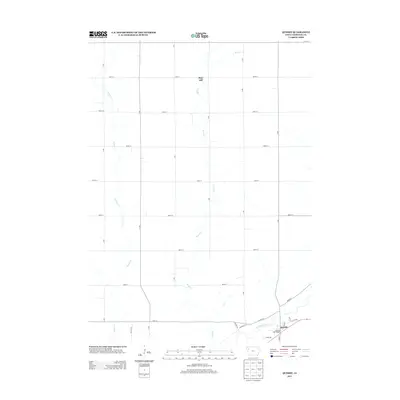
 2015 Quimby2015 Print · USGSCovers Quimby, including Mary Hill, Cherokee County, and other nearby areas
 - 2015 Map of Washta, 2015 Print
 2015 Washta2015 Print · USGSCovers Quimby, including Washta, Woodbury County, and other nearby areas
 - 2018 Map of Quimby, 2018 Print
 2018 Quimby2018 Print · USGSCovers Quimby, including Mary Hill, Cherokee County, and other nearby areas
 - 2018 Map of Washta, 2018 Print
 2018 Washta2018 Print · USGSCovers Quimby, including Washta, Woodbury County, and other nearby areas
 - 2022 Map of Washta, 2022 Print
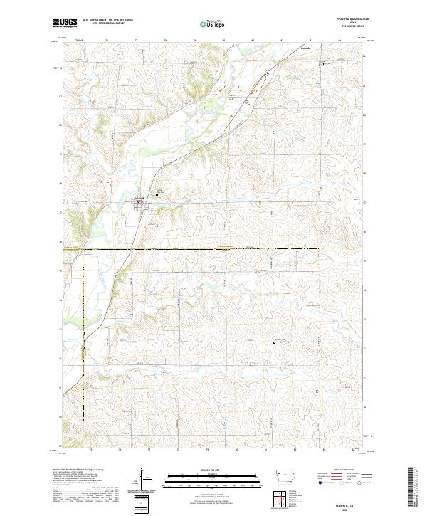 2022 Washta2022 Print · USGSThe Little Sioux River valley in Northwest Iowa is captured here in the 2020s, showing the agricultural grid surrounding Quimby and Washta. Genealogists can locate family sites at Sunset View Cem, Grandview Cem, and Fairview Cem among the rural sections.
 - 2022 Map of Quimby, 2022 Print
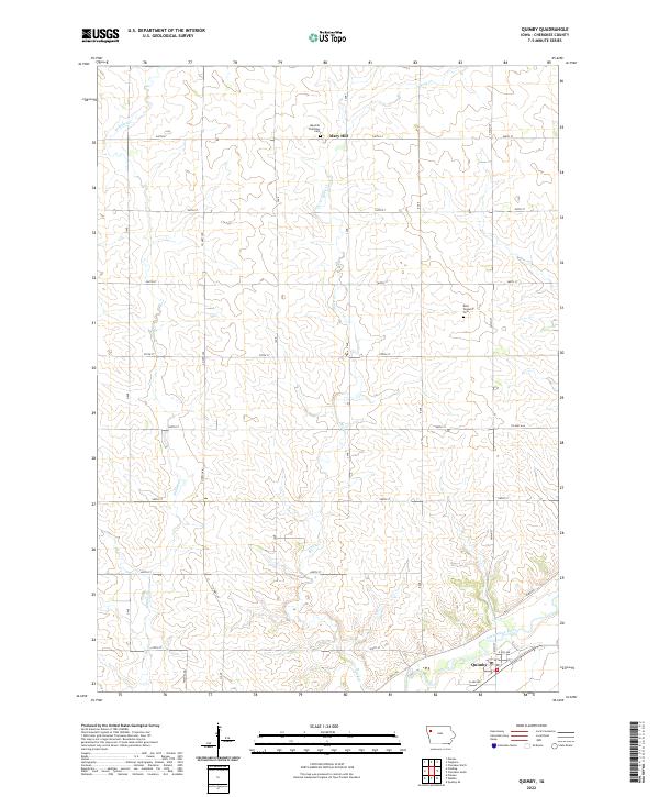 2022 Quimby2022 Print · USGSCherokee County agricultural lands and river valleys are captured here in the early 2020s. Researchers can locate family sites near the Maryhill Visitation Cem or trace the winding path of the Little Sioux River past Quimby.
End of results
Showing maps 1-10 of 10
Top cities near Quimby
- Cherokee historical maps
- Holstein historical maps
- Marcus historical maps
- Aurelia historical maps
- Correctionville historical maps
- Galva historical maps
See more
Frequently asked questions
- What are the different types of historical maps available for Quimby?
- What is the oldest map of Quimby?
- Where can I purchase historical maps of Quimby for my home or office?
- Where can I download high-res historical maps of Quimby?
- Are there historical topographic maps available for Quimby?
- Is there historical aerial imagery available for Quimby?
- Where are historical maps of Quimby sourced from?