Old Maps of Quimby, Iowa for Metal Detecting
Plan your next treasure hunt with 16 historic maps of Quimby. Find old homesites, ghost towns, trails, and gathering spots that may be lost to time — perfect for identifying promising metal detecting locations.
- Locate forgotten sites: Uncover places like long-lost settlements, abandoned rail lines, or gathering spots.
- Plan better hunts: Use map overlays combined with LiDAR or satellite views to narrow in on historically rich areas.
- Made for detectorists: Thousands of hobbyists use these maps to discover relics, coins, and hidden history.
Use these historic maps to boost your research and find new opportunities beneath the surface of Quimby.
Quimby, IA maps
(16)- 1954 Map of Fort Dodge, 1968 Print
 1954 Fort Dodge1968 Print · USGSNorthwest Iowa is shown here during a period of steady industrial and rail activity in the mid-fifties. Researchers can trace the extensive rail lines connecting Fort Dodge to mining and manufacturing sites like Gypsum and Industry Station.3 unique versions available
 - 1957 Map of Fort Dodge
 1957 Fort Dodge1957 Print · USGSWest-central Iowa thrived as a network of rail-linked agricultural hubs and river towns during the mid-fifties. Researchers can trace the development of the Des Moines River valley and locate historic landmarks in Fort Dodge, Storm Lake, and Lehigh.
 - 1958 Map of Fort Dodge
 1958 Fort Dodge1958 Print · USGSWestern Iowa in the mid-1950s reveals a productive landscape of river-valley industry and prairie agricultural hubs. Researchers can trace the development of the Des Moines River corridor through Fort Dodge and locate vanished local landmarks near Coalville or Storm Lake.
 - 1969 Map of Washta, 1971 Print
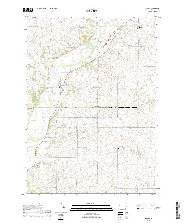
 1969 Washta1971 Print · USGSThe Little Sioux River valley in northwestern Iowa is captured here in the late sixties, showing a landscape of river-bend parks and rail-connected towns. Researchers can trace family sites at Sunset View Cem, find the old Willow Sch, or follow the Illinois Central through Washta.
 - 1969 Map of Quimby, 1971 Print
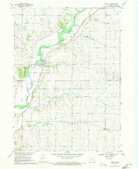
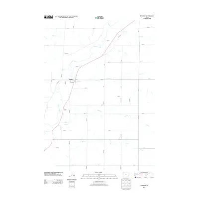
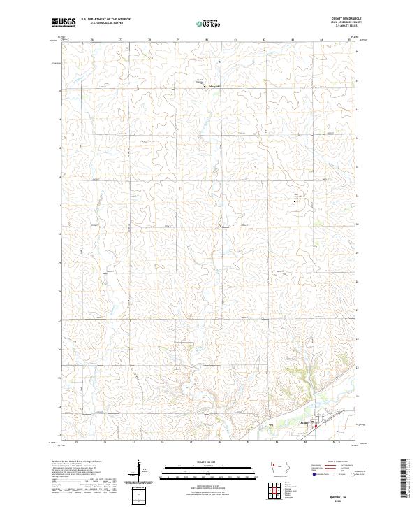
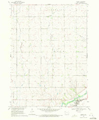 1969 Quimby1971 Print · USGSQuimby and the southeastern Cherokee County landscape are captured here in the late sixties, centered on the Little Sioux River valley. Genealogists and local historians can trace the Illinois Central railroad corridor through Quimby and locate local landmarks like Mary Hill and the river-side Gravel Pits.
 - 1985 Map of Storm Lake
 1985 Storm Lake1985 Print · USGSNorthwest Iowa's agricultural heartland is documented here in the mid-eighties, showing the vital rail-and-river network of the Little Sioux valley. Researchers can trace the legacy of regional hubs and smaller rail towns like Sutherland, Paullina, and Cherokee.3 unique versions available
 - 2010 Map of Washta, 2010 Print
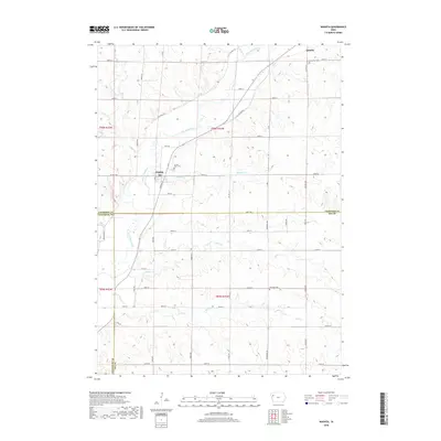
 2010 Washta2010 Print · USGSCovers Quimby, including Washta, Woodbury County, and other nearby areas
 - 2010 Map of Quimby, 2010 Print
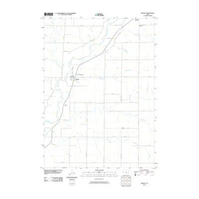
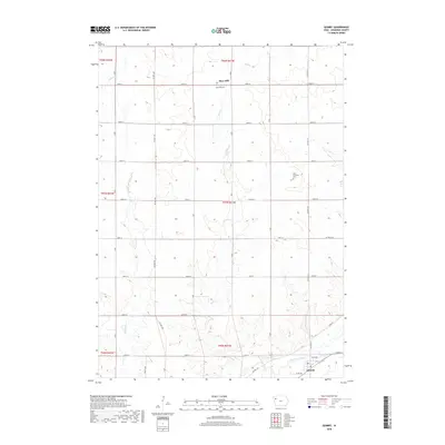
 2010 Quimby2010 Print · USGSCovers Quimby, including Mary Hill, Cherokee County, and other nearby areas
 - 2013 Map of Washta, 2013 Print
 2013 Washta2013 Print · USGSCovers Quimby, including Washta, Woodbury County, and other nearby areas
 - 2013 Map of Quimby, 2013 Print
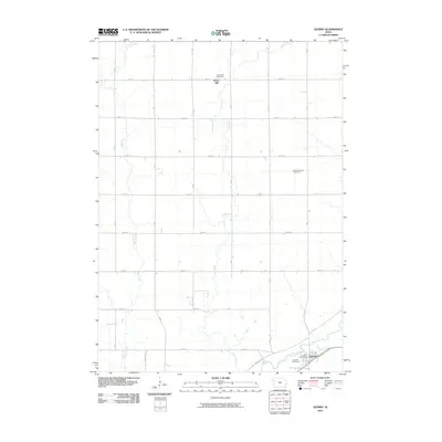
 2013 Quimby2013 Print · USGSCovers Quimby, including Mary Hill, Cherokee County, and other nearby areas
 - 2015 Map of Quimby, 2015 Print
 2015 Quimby2015 Print · USGSCovers Quimby, including Mary Hill, Cherokee County, and other nearby areas
 - 2015 Map of Washta, 2015 Print
 2015 Washta2015 Print · USGSCovers Quimby, including Washta, Woodbury County, and other nearby areas
 - 2018 Map of Quimby, 2018 Print
 2018 Quimby2018 Print · USGSCovers Quimby, including Mary Hill, Cherokee County, and other nearby areas
 - 2018 Map of Washta, 2018 Print
 2018 Washta2018 Print · USGSCovers Quimby, including Washta, Woodbury County, and other nearby areas
 - 2022 Map of Washta, 2022 Print
 2022 Washta2022 Print · USGSThe Little Sioux River valley in Northwest Iowa is captured here in the 2020s, showing the agricultural grid surrounding Quimby and Washta. Genealogists can locate family sites at Sunset View Cem, Grandview Cem, and Fairview Cem among the rural sections.
 - 2022 Map of Quimby, 2022 Print
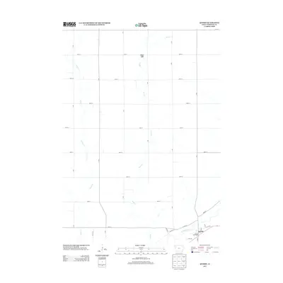
 2022 Quimby2022 Print · USGSCherokee County agricultural lands and river valleys are captured here in the early 2020s. Researchers can locate family sites near the Maryhill Visitation Cem or trace the winding path of the Little Sioux River past Quimby.
End of results
Showing maps 1-16 of 16
Top cities near Quimby
- Cherokee historical maps
- Holstein historical maps
- Marcus historical maps
- Aurelia historical maps
- Correctionville historical maps
- Galva historical maps
See more
Frequently asked questions
- What are the different types of historical maps available for Quimby?
- What is the oldest map of Quimby?
- Where can I purchase historical maps of Quimby for my home or office?
- Where can I download high-res historical maps of Quimby?
- Are there historical topographic maps available for Quimby?
- Is there historical aerial imagery available for Quimby?
- Where are historical maps of Quimby sourced from?