2010s Maps of Clay County, Iowa
Explore 80 historic maps of Clay County from the 2010s. These maps offer a rare glimpse into what life looked like during the 2010s — showing old roads, neighborhoods, homes, and landmarks that have changed or disappeared over time.
Whether you're researching your family's past, planning a metal detecting trip, or studying how Clay County's landscape evolved across the 2010s, these high-resolution maps are a powerful tool for exploring the history of this region.
- Focus on a specific era: All maps on this page are from the 2010s, giving you a focused view of this time period.
- See what’s changed: Compare century-old streets, trails, and buildings to today's modern landscape using overlays and satellite layers.
- Research with precision: Use these maps for genealogy, historical research, land use analysis, or educational projects.
- View, download, or print: Maps are fully viewable online in high resolution, and can be downloaded or printed for your own records.
Start exploring Clay County's history through authentic maps from the 2010s. This is your window into the past.
Clay County, IA maps
(80)- 2010 Map of Rush Lake West, 2010 Print
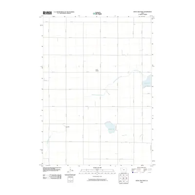 2010 Rush Lake West2010 Print · USGSThis rural portion of Buena Vista County in the early twenty-first century reveals a landscape dominated by agriculture and natural waterways. Researchers can trace local history through the Garfield Township Cemetery, the settlement of Leverett, and the shores of Pickerel Lake.
 - 2010 Map of Webb, 2010 Print
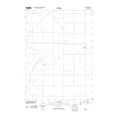 2010 Webb2010 Print · USGSThis Clay County community is captured during the early twenty-first century, showing the enduring agricultural grid of northwest Iowa. Researchers can locate family roots at Osborn Cemetery or Burr Oak Cemetery and trace the winding course of the Little Sioux River.
 - 2010 Map of Peterson, 2010 Print
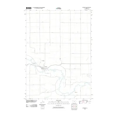 2010 Peterson2010 Print · USGSPeterson and its surrounding Iowa river valley are documented here in the early twenty-first century. Researchers can locate family sites and rural landmarks like the Daily Burial Ground, Oakland Cemetery, and Bertran Camp along the Little Sioux River.
 - 2010 Map of Royal, 2010 Print
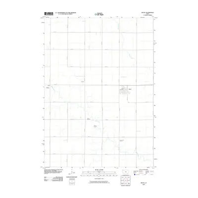 2010 Royal2010 Print · USGSRoyal and the surrounding Clay County farmlands are captured in the early twenty-first century, showcasing a landscape of structured section roads and quiet rural centers. Researchers can locate local burial grounds including TriMello and Center Cemetery, alongside civic landmarks like the Royal Post Office.
 - 2010 Map of Hartley SW, 2010 Print
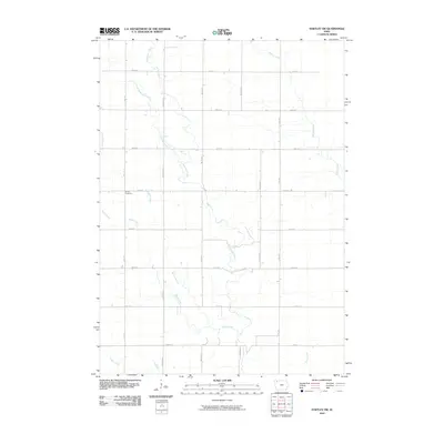 2010 Hartley SW2010 Print · USGSClay County at the start of the 21st century reveals a landscape shaped by the precision of modern agriculture and the winding paths of Waterman Creek. Genealogists and local historians can trace the position of Grant Cemetery and the various tributaries like Barry Creek and McCreath Creek.
 - 2010 Map of Ruthven, 2010 Print
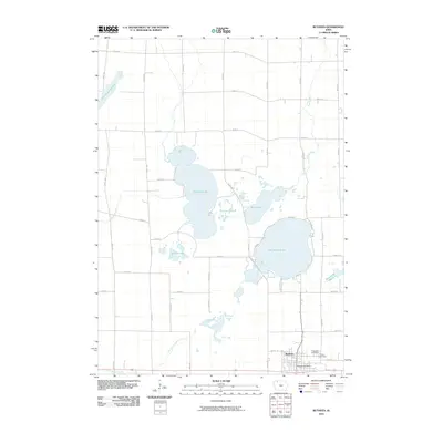 2010 Ruthven2010 Print · USGSThe glacial lakes and marshlands of northern Iowa are shown here during a time when Ruthven remained the area's central anchor. Researchers can trace local lineage and land use near Lost Island Lake or locate the Crown Hill Cemetery and Ruthven Post Office.
 - 2010 Map of Gillett Grove, 2010 Print
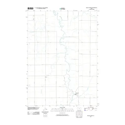 2010 Gillett Grove2010 Print · USGSGillett Grove sits at a bend in the Little Sioux River during the first decade of the millennium. Genealogists and local historians can locate the Rosehill Cemetery and the Gillett Grove Post Office among the section roads of Clay County.
 - 2010 Map of Hartley, 2010 Print
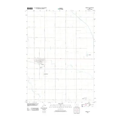 2010 Hartley2010 Print · USGSHartley and the surrounding O'Brien County prairie are captured here in the early twenty-first century, showcasing a landscape of structured farmsteads and rural townships. Researchers can pinpoint Pleasant View Cemetery, the Hartley Post Office, and the small settlement of Moneta.
 - 2010 Map of Milford, 2010 Print
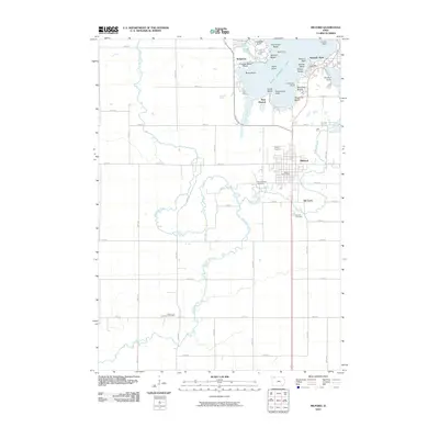 2010 Milford2010 Print · USGSMid-century lake life and prairie agriculture intersect in this study of Dickinson County just after the turn of the millennium. Genealogists can locate family names at the Little Sioux Lutheran Cemetery or trace the early settlement of Old Town and Milford.
 - 2010 Map of Terril, 2010 Print
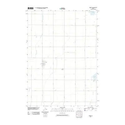 2010 Terril2010 Print · USGSTerril and the surrounding Dickinson County prairie are captured in the early 2000s, showing a well-established agricultural grid. Researchers can trace local heritage at Fairview Cemetery or explore the town's layout near the Terril Post Office and Cheever Lake.
 - 2010 Map of Everly, 2010 Print
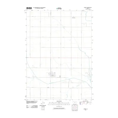 2010 Everly2010 Print · USGSEverly and the surrounding Clay County farmlands are documented here during the early twenty-first century. Genealogists can locate the First Reformed Church Cemetery and Lone Tree Cemetery amidst the banks of the Ocheyedan River.
 - 2010 Map of Silver Lake, 2010 Print
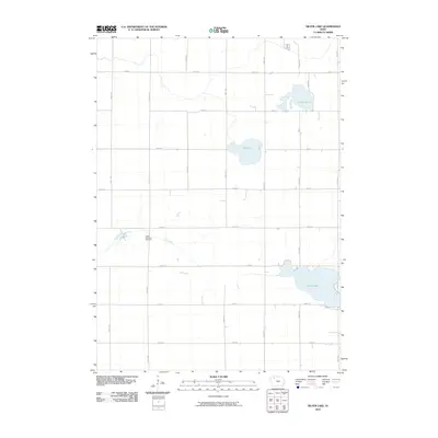 2010 Silver Lake2010 Print · USGSClay County's rural landscape is captured here in the early twenty-first century, showing a region defined by its glacial lakes and township grids. Genealogists and local historians can locate the Logan Township Cemetery and trace the paths of Elk Creek near Silver Lake.
 - 2010 Map of Lake Park SE, 2010 Print
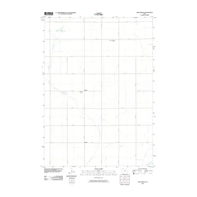 2010 Lake Park SE2010 Print · USGSDickinson County is shown at the start of the 2010s as a landscape of structured farmland and quiet prairie drainages. Genealogists and local historians can locate early burial sites like Excelsior Township Cemetery and trace the paths of Stony Creek and the Little Sioux River.
 - 2010 Map of Greenville, 2010 Print
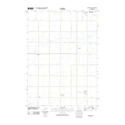 2010 Greenville2010 Print · USGSClay County at the start of the 2010s reveals a structured landscape of prairie farmsteads and small rural communities. Genealogists can trace family land near Greenville and Rossie or locate burial sites at Prairie Creek Cemetery and Lincoln Cemetery.
 - 2010 Map of Spirit Lake SE, 2010 Print
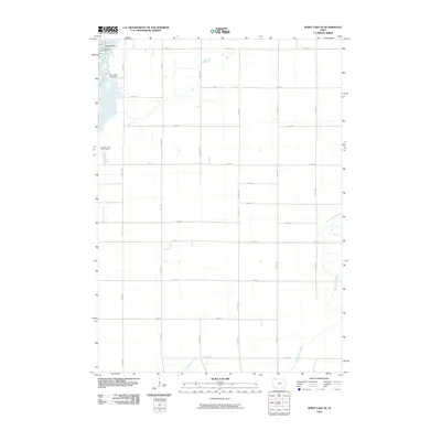 2010 Spirit Lake SE2010 Print · USGSThe Iowa Great Lakes region shows its modern balance of lakeside settlement and agricultural tradition in the early twenty-first century. Researchers can trace the lakeshore developments of Arnolds Park and Orrs Campe Winakawin or locate the Arnolds Park Post Office.
 - 2010 Map of Spencer, 2010 Print
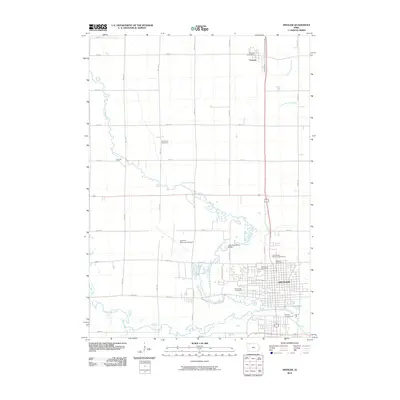 2010 Spencer2010 Print · USGSSpencer and its surrounding Clay County townships appear in this recent survey during a period of steady growth. Researchers can trace property lines and civic sites like the Clay County Fairground, Riverside Cemetery, and the Fostoria Post Office near the northern border.
 - 2010 Map of May City, 2010 Print
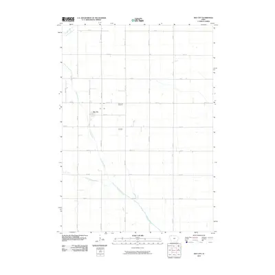 2010 May City2010 Print · USGSMay City and the surrounding Osceola County farmland are shown here in the first decade of the millennium. Local researchers can trace family plots at the Mennonite Cemetery and Harrison Cemetery or follow the path of the Ocheyedan River.
 - 2010 Map of Dickens, 2010 Print
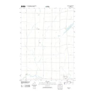 2010 Dickens2010 Print · USGSClay County's rural prairie and river bottoms are captured here during the first decade of the millennium. Researchers can trace family ties at Fairview Cemetery or locate historic sites in Dickens, Langdon, and the settlement of Prospect.
 - 2010 Map of Sutherland East, 2010 Print
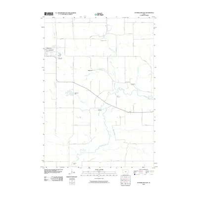 2010 Sutherland East2010 Print · USGSO'Brien County agriculture and the winding Little Sioux River valley are documented here in the early twenty-first century. Researchers can locate family sites at Waterman Cemetery and First Cemetery or trace the drainage of Dog Creek and Murray Creek.
 - 2010 Map of Sioux Rapids, 2010 Print
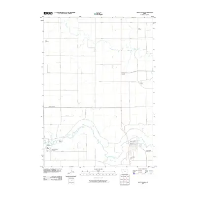 2010 Sioux Rapids2010 Print · USGSThe Little Sioux River valley in Northwest Iowa comes into sharp focus during the early twenty-first century. Genealogists and local historians can trace family roots at Fanny Fern Cemetery, Lone Tree Cemetery, and the riverfront settlement of Linn Grove.
 - 2013 Map of Spirit Lake SE, 2013 Print
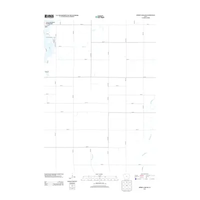 2013 Spirit Lake SE2013 Print · USGSLakeside resorts meet the Iowa prairie in this Dickinson County survey from the early twenty-first century. Researchers can trace local development near Arnolds Park or locate landmarks like Orrs Campe Winakawin and the Woodlyn Hills Golf Course.
 - 2013 Map of Everly, 2013 Print
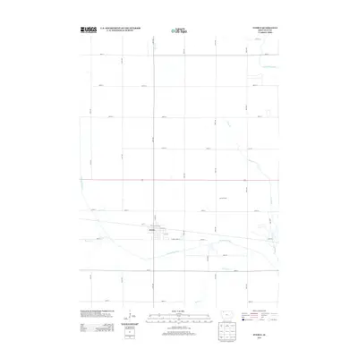 2013 Everly2013 Print · USGSThe township of Everly is the focal point of this rural Clay County landscape during the early twenty-first century. Genealogists and local historians can trace the course of the Ocheyedan River past Jensen Farms and identify property locations along the extensive county road grid.
 - 2013 Map of Greenville, 2013 Print
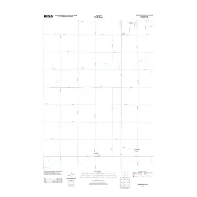 2013 Greenville2013 Print · USGSClay County's rural character and small-town footprints are captured here just after the turn of the millennium. Genealogists and historians can trace the streets of Rossie and Greenville or follow the natural drainage of Prairie Cr and Willow Cr.
 - 2013 Map of May City, 2013 Print
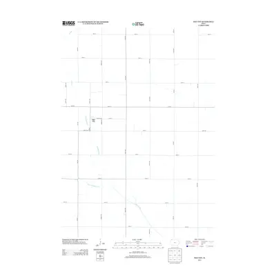 2013 May City2013 Print · USGSOsceola County is captured here in the early twenty-first century, showing a rural landscape defined by the grid of the Iowa prairie. Researchers can trace the path of the Ocheyedan River and the Little Ocheyedan River as they wind past the settlement of May City.
 - 2013 Map of Rush Lake West, 2013 Print
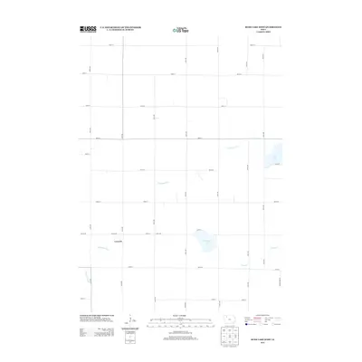 2013 Rush Lake West2013 Print · USGSThe rural landscape near Leverett is captured here during the early 2010s, showing the intersection of agricultural life and natural prairie waterways. Genealogists and local historians can trace family land via the township grid and landmarks like Rush Lake and Pickerel Lake.
Showing maps 1-25 of 80
Top cities of Clay County
- Spencer historical maps
- Everly historical maps
- Royal historical maps
- Peterson historical maps
- Fostoria historical maps
- Dickens historical maps
See more
Frequently asked questions
- What are the different types of historical maps available for Clay County?
- What is the oldest map of Clay County?
- Where can I purchase historical maps of Clay County for my home or office?
- Where can I download high-res historical maps of Clay County?
- Are there historical topographic maps available for Clay County?
- Is there historical aerial imagery available for Clay County?
- Where are historical maps of Clay County sourced from?