2000s (21st Century) Maps of Adel, Adel Township
Explore 15 historic maps of Adel from the 2000s (21st Century). These maps offer a rare glimpse into what life looked like during the 2000s — showing old roads, neighborhoods, homes, and landmarks that have changed or disappeared over time.
Whether you're researching your family's past, planning a metal detecting trip, or studying how Adel's landscape evolved across the 2000s, these high-resolution maps are a powerful tool for exploring the history of this region.
- Focus on a specific era: All maps on this page are from the 2000s, giving you a focused view of this time period.
- See what’s changed: Compare century-old streets, trails, and buildings to today's modern landscape using overlays and satellite layers.
- Research with precision: Use these maps for genealogy, historical research, land use analysis, or educational projects.
- View, download, or print: Maps are fully viewable online in high resolution, and can be downloaded or printed for your own records.
Start exploring Adel's history through authentic maps from the 2000s. This is your window into the past.
Adel, Adel Township maps
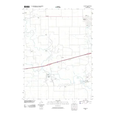
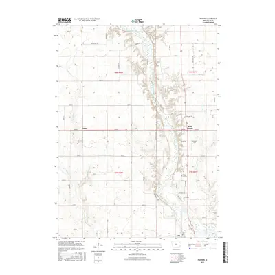
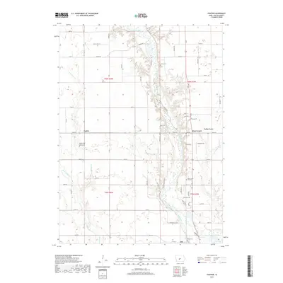
(15)- 2010 Map of Panther, 2010 Print
 2010 Panther2010 Print · USGSCovers Adel, including Dallas Center, Washington Township, and other nearby areas
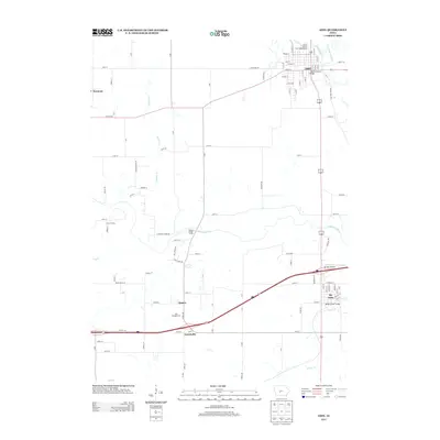
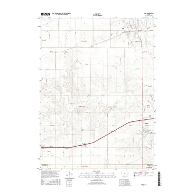
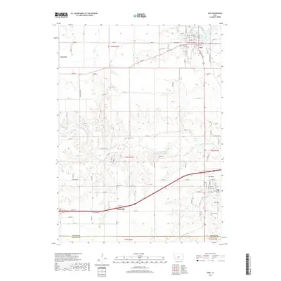
 - 2010 Map of Adel, 2010 Print
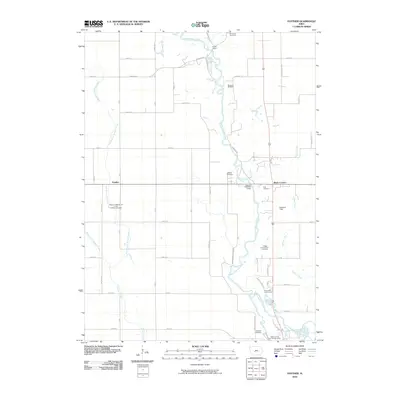
 2010 Adel2010 Print · USGSCovers Adel, including Earlham, De Soto, and other nearby areas
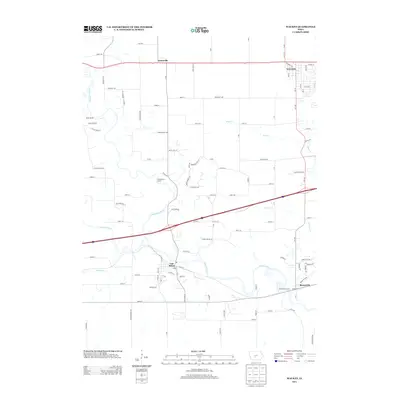
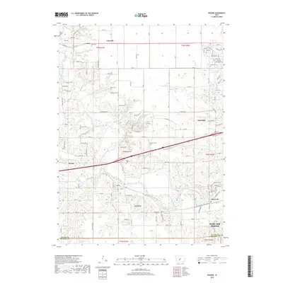
 - 2010 Map of Waukee, 2010 Print
 2010 Waukee2010 Print · USGSCovers Adel, including West Des Moines, Waukee, and other nearby areas
 - 2013 Map of Panther, 2013 Print
 2013 Panther2013 Print · USGSCovers Adel, including Dallas Center, Washington Township, and other nearby areas
 - 2013 Map of Adel, 2013 Print
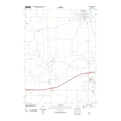
 2013 Adel2013 Print · USGSCovers Adel, including Earlham, De Soto, and other nearby areas
 - 2013 Map of Waukee, 2013 Print
 2013 Waukee2013 Print · USGSCovers Adel, including West Des Moines, Waukee, and other nearby areas
 - 2015 Map of Waukee, 2015 Print
 2015 Waukee2015 Print · USGSCovers Adel, including West Des Moines, Waukee, and other nearby areas
 - 2015 Map of Panther, 2015 Print
 2015 Panther2015 Print · USGSCovers Adel, including Dallas Center, Washington Township, and other nearby areas
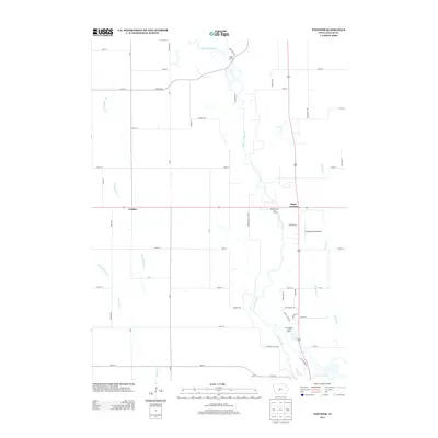
 - 2015 Map of Adel, 2015 Print
 2015 Adel2015 Print · USGSCovers Adel, including Earlham, De Soto, and other nearby areas
 - 2018 Map of Waukee, 2018 Print
 2018 Waukee2018 Print · USGSCovers Adel, including West Des Moines, Waukee, and other nearby areas
 - 2018 Map of Panther, 2018 Print
 2018 Panther2018 Print · USGSCovers Adel, including Dallas Center, Washington Township, and other nearby areas
 - 2018 Map of Adel, 2018 Print
 2018 Adel2018 Print · USGSCovers Adel, including Earlham, De Soto, and other nearby areas
 - 2022 Map of Panther, 2022 Print
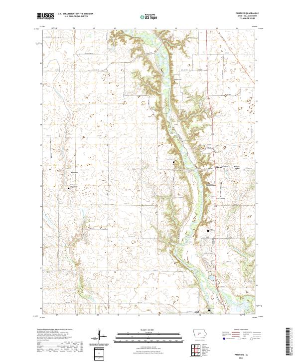 2022 Panther2022 Print · USGSDallas County farmland and the river valley come into sharp focus in this recent survey. Genealogists and local historians can trace the sites of Panther Creek Church of the Brethren, Black Corners, and several historic burial grounds like Jenkins Cem.
 - 2022 Map of Adel, 2022 Print
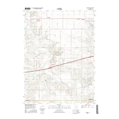
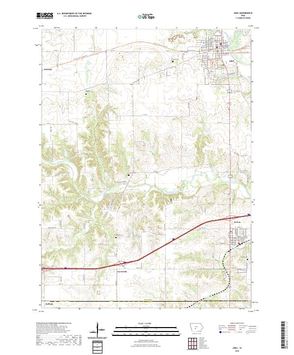 2022 Adel2022 Print · USGSAdel and the surrounding Dallas County countryside are mapped here in the early 2020s, showcasing a landscape of river valleys and growing towns. Researchers can locate numerous pioneer burial sites like Ellis Cem and Longmire Cem or trace the path of the Raccoon River.
 - 2022 Map of Waukee, 2022 Print
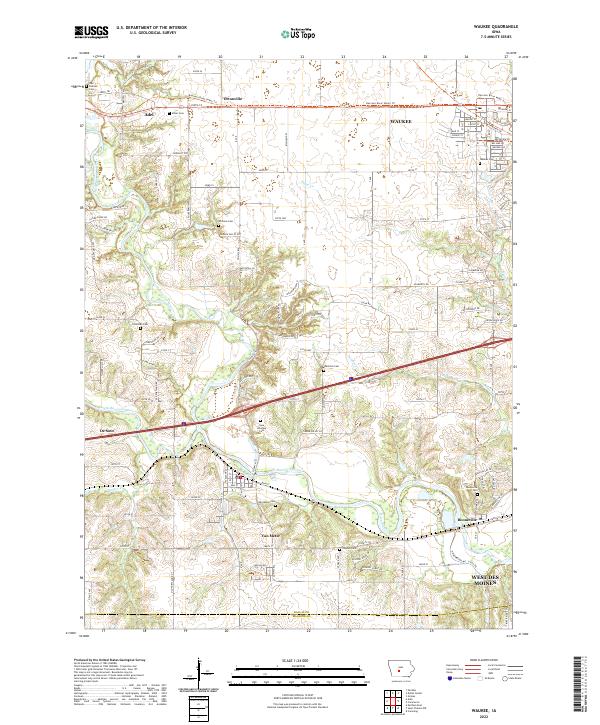 2022 Waukee2022 Print · USGSSuburban growth meets the river valleys of Dallas County in the early 2020s. Researchers can trace family history through many local burial sites like Iowa Veterans Cem and Booneville Cem or locate the junctions of the North Raccoon River.
End of results
Showing maps 1-15 of 15
Top cities near Adel
- West Des Moines historical maps
- Urbandale historical maps
- Johnston historical maps
- Waukee historical maps
- Clive historical maps
- Grimes historical maps
See more
Top neighborhoods of Adel
Frequently asked questions
- What are the different types of historical maps available for Adel?
- What is the oldest map of Adel?
- Where can I purchase historical maps of Adel for my home or office?
- Where can I download high-res historical maps of Adel?
- Are there historical topographic maps available for Adel?
- Is there historical aerial imagery available for Adel?
- Where are historical maps of Adel sourced from?