Old Maps of Iowa Falls, Iowa for Hiking & Exploration
Hike through history with 23 historic maps of Iowa Falls. Explore old trails, ghost towns, and forgotten backroads — perfect for outdoor adventurers and local explorers.
- Rediscover forgotten places: Map out old mining camps, roads, and footpaths that no longer exist on modern maps.
- Layer with modern tools: Combine with LiDAR or satellite views to plan hikes through historical terrain.
- Made for exploration: Popular among hikers, overlanders, and local history lovers.
Use these maps to find adventure and explore the hidden past of Iowa Falls.
Iowa Falls, IA maps
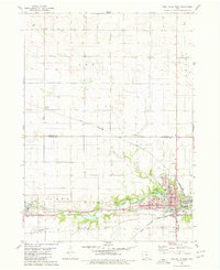
(23)- 1954 Map of Waterloo, 1968 Print
 1954 Waterloo1968 Print · USGSCentral Iowa at the height of its mid-century agricultural and rail boom features the growing hubs of Waterloo and Cedar Falls. Genealogists and researchers can trace the rail corridors of the Chicago Great Western and find local landmarks like Iowa State College and Brushy Ridge.4 unique versions available
 - 1955 Map of Waterloo
 1955 Waterloo1955 Print · USGSCentral Iowa in the mid-fifties presents a dense landscape of rail-connected farming towns and growing river cities. Researchers can trace ancestral roots and old transport routes through Waterloo, Marshalltown, and Ames, while locating rural Cemeteries and local Quarries.2 unique versions available
 - 1979 Map of Iowa Falls West, 1980 Print
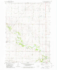
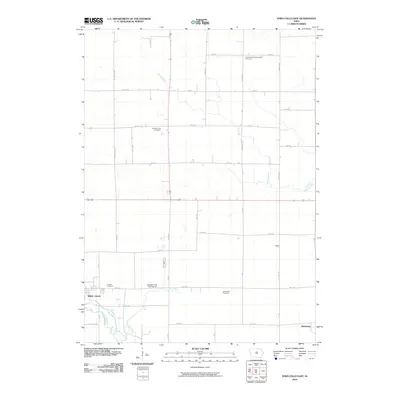
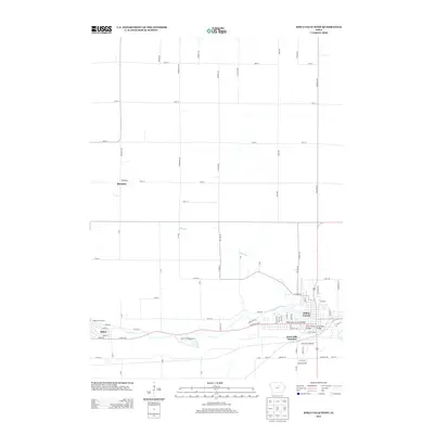
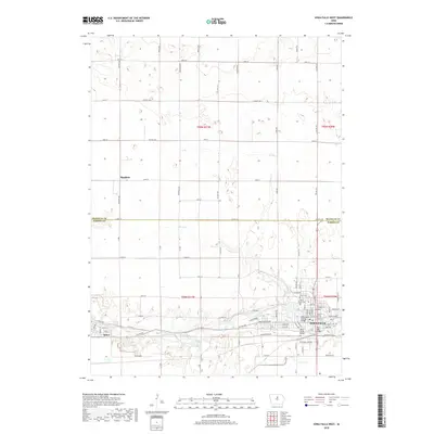
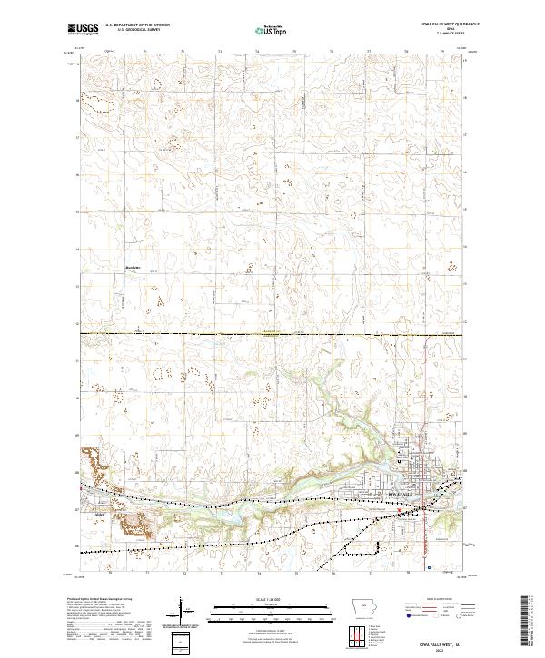
 1979 Iowa Falls West1980 Print · USGSHardin and Franklin Counties are defined by the winding Iowa River and a robust rail network in the late 1970s. Researchers can trace the development of Iowa Falls, from its many schools and Ellsworth Community College to the rural Lee Center Ch.
 - 1979 Map of Buckeye East, 1980 Print
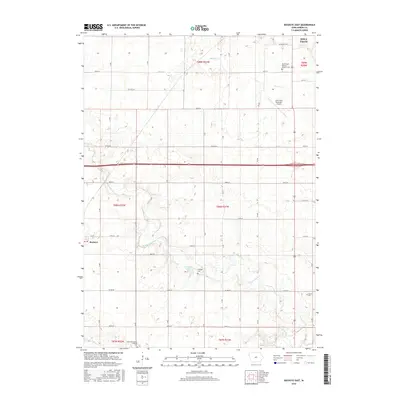
 1979 Buckeye East1980 Print · USGSHardin County agriculture and rail history intersect here during the late seventies, showing the landscape before significant modern consolidation. Genealogists and local historians can trace family locations near Cottage Ch, Buckeye, and the Lincoln Cem.
 - 1979 Map of Iowa Falls East, 1980 Print
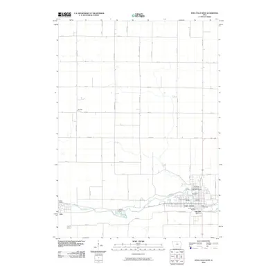
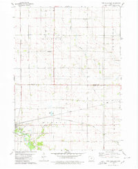 1979 Iowa Falls East1980 Print · USGSThe rail-and-river landscape of Hardin and Franklin Counties comes alive in the late 1970s as a busy agricultural hub. Researchers can trace the three major rail lines and locate family landmarks like Friends Cem, St Peters Ch, and the settlement of Robertson.
 - 1984 Map of Iowa Falls, 1985 Print
 1984 Iowa Falls1985 Print · USGSNorth-central Iowa is documented here during the mid-eighties, showing a landscape of traditional rail towns and extensive wildlife management areas. Researchers can trace family history through settlements like Belmond, Dows, and Ackley, or locate landmarks like Beeds Lake State Park.2 unique versions available
 - 1985 Map of Ames
 1985 Ames1985 Print · USGSCentral Iowa's prairie landscape in the mid-eighties shows a well-established network of rail towns and conservation areas. Genealogists and historians can trace the paths of the Lincoln Highway and the Chicago and North Western line connecting Ames, Boone, and Webster City.
 - 1993 Map of Ames
 1993 Ames1993 Print · USGSCentral Iowa in the early nineties shows a landscape of river-fed parklands and growing academic centers. Genealogists and researchers can trace local church sites like Sts Peter and Paul Ch or navigate the corridors of the Chicago and North Western through towns like Hubbard and Stanhope.
 - 2010 Map of Buckeye East, 2010 Print
 2010 Buckeye East2010 Print · USGSCovers Iowa Falls, including Buckeye, Hardin County, and other nearby areas
 - 2010 Map of Iowa Falls West, 2010 Print
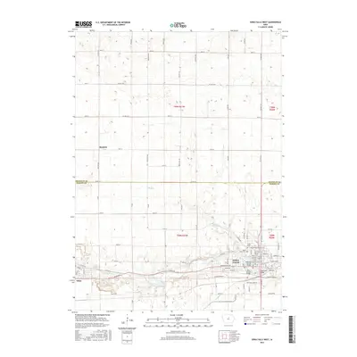
 2010 Iowa Falls West2010 Print · USGSCovers Iowa Falls, including Alden, Burdette, and other nearby areas
 - 2010 Map of Iowa Falls East, 2010 Print
 2010 Iowa Falls East2010 Print · USGSCovers Iowa Falls, including Robertson, Macey, and other nearby areas
 - 2013 Map of Buckeye East, 2013 Print
 2013 Buckeye East2013 Print · USGSCovers Iowa Falls, including Buckeye, Hardin County, and other nearby areas
 - 2013 Map of Iowa Falls East, 2013 Print
 2013 Iowa Falls East2013 Print · USGSCovers Iowa Falls, including Robertson, Macey, and other nearby areas
 - 2013 Map of Iowa Falls West, 2013 Print
 2013 Iowa Falls West2013 Print · USGSCovers Iowa Falls, including Alden, Burdette, and other nearby areas
 - 2015 Map of Iowa Falls West, 2015 Print
 2015 Iowa Falls West2015 Print · USGSCovers Iowa Falls, including Alden, Burdette, and other nearby areas
 - 2015 Map of Iowa Falls East, 2015 Print
 2015 Iowa Falls East2015 Print · USGSCovers Iowa Falls, including Robertson, Macey, and other nearby areas
 - 2015 Map of Buckeye East, 2015 Print
 2015 Buckeye East2015 Print · USGSCovers Iowa Falls, including Buckeye, Hardin County, and other nearby areas
 - 2018 Map of Iowa Falls West, 2018 Print
 2018 Iowa Falls West2018 Print · USGSCovers Iowa Falls, including Alden, Burdette, and other nearby areas
 - 2018 Map of Buckeye East, 2018 Print
 2018 Buckeye East2018 Print · USGSCovers Iowa Falls, including Buckeye, Hardin County, and other nearby areas
 - 2018 Map of Iowa Falls East, 2018 Print
 2018 Iowa Falls East2018 Print · USGSCovers Iowa Falls, including Robertson, Macey, and other nearby areas
 - 2022 Map of Iowa Falls West, 2022 Print
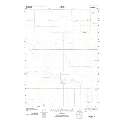
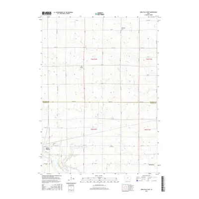
 2022 Iowa Falls West2022 Print · USGSCrossing the border of Franklin and Hardin counties, this Iowa landscape centers on the river-fed growth of the early 2020s. Genealogists and local researchers can trace sites like Union Cem and Saint Mark's Cem near the banks of the Iowa River.
 - 2022 Map of Iowa Falls East, 2022 Print
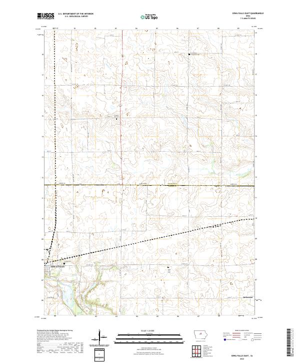 2022 Iowa Falls East2022 Print · USGSCentral Iowa in the early 2020s remains a landscape of historic farmsteads and rural cemeteries defined by the Iowa River and the border of Franklin and Hardin counties. Genealogists can trace family roots at Saint Peters Evangelical Cem, Pleasant Hill Cem, or the small settlement of Robertson.
 - 2022 Map of Buckeye East, 2022 Print
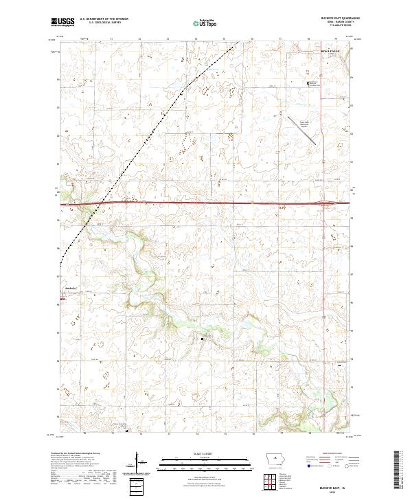 2022 Buckeye East2022 Print · USGSHardin County agriculture and river life are captured here in the early twenty-first century. Genealogists can trace family names through the Tipton Norwegian Lutheran Cem, Lincoln Cem, and the settlement of Buckeye.
End of results
Showing maps 1-23 of 23
Top cities near Iowa Falls
- Hampton historical maps
- Eldora historical maps
- Ackley historical maps
- Hubbard historical maps
- Alden historical maps
- Radcliffe historical maps
See more
Frequently asked questions
- What are the different types of historical maps available for Iowa Falls?
- What is the oldest map of Iowa Falls?
- Where can I purchase historical maps of Iowa Falls for my home or office?
- Where can I download high-res historical maps of Iowa Falls?
- Are there historical topographic maps available for Iowa Falls?
- Is there historical aerial imagery available for Iowa Falls?
- Where are historical maps of Iowa Falls sourced from?