Old Maps of Iowa Falls, Iowa for Metal Detecting
Plan your next treasure hunt with 23 historic maps of Iowa Falls. Find old homesites, ghost towns, trails, and gathering spots that may be lost to time — perfect for identifying promising metal detecting locations.
- Locate forgotten sites: Uncover places like long-lost settlements, abandoned rail lines, or gathering spots.
- Plan better hunts: Use map overlays combined with LiDAR or satellite views to narrow in on historically rich areas.
- Made for detectorists: Thousands of hobbyists use these maps to discover relics, coins, and hidden history.
Use these historic maps to boost your research and find new opportunities beneath the surface of Iowa Falls.
Iowa Falls, IA maps
(23)- 1954 Map of Waterloo, 1968 Print
 1954 Waterloo1968 Print · USGSCentral Iowa at the height of its mid-century agricultural and rail boom features the growing hubs of Waterloo and Cedar Falls. Genealogists and researchers can trace the rail corridors of the Chicago Great Western and find local landmarks like Iowa State College and Brushy Ridge.4 unique versions available
 - 1955 Map of Waterloo
 1955 Waterloo1955 Print · USGSCentral Iowa in the mid-fifties presents a dense landscape of rail-connected farming towns and growing river cities. Researchers can trace ancestral roots and old transport routes through Waterloo, Marshalltown, and Ames, while locating rural Cemeteries and local Quarries.2 unique versions available
 - 1979 Map of Iowa Falls West, 1980 Print
 1979 Iowa Falls West1980 Print · USGSHardin and Franklin Counties are defined by the winding Iowa River and a robust rail network in the late 1970s. Researchers can trace the development of Iowa Falls, from its many schools and Ellsworth Community College to the rural Lee Center Ch.
 - 1979 Map of Buckeye East, 1980 Print
 1979 Buckeye East1980 Print · USGSHardin County agriculture and rail history intersect here during the late seventies, showing the landscape before significant modern consolidation. Genealogists and local historians can trace family locations near Cottage Ch, Buckeye, and the Lincoln Cem.
 - 1979 Map of Iowa Falls East, 1980 Print
 1979 Iowa Falls East1980 Print · USGSThe rail-and-river landscape of Hardin and Franklin Counties comes alive in the late 1970s as a busy agricultural hub. Researchers can trace the three major rail lines and locate family landmarks like Friends Cem, St Peters Ch, and the settlement of Robertson.
 - 1984 Map of Iowa Falls, 1985 Print
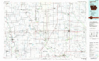 1984 Iowa Falls1985 Print · USGSNorth-central Iowa is documented here during the mid-eighties, showing a landscape of traditional rail towns and extensive wildlife management areas. Researchers can trace family history through settlements like Belmond, Dows, and Ackley, or locate landmarks like Beeds Lake State Park.2 unique versions available
 - 1985 Map of Ames
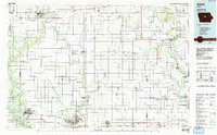 1985 Ames1985 Print · USGSCentral Iowa's prairie landscape in the mid-eighties shows a well-established network of rail towns and conservation areas. Genealogists and historians can trace the paths of the Lincoln Highway and the Chicago and North Western line connecting Ames, Boone, and Webster City.
 - 1993 Map of Ames
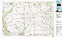 1993 Ames1993 Print · USGSCentral Iowa in the early nineties shows a landscape of river-fed parklands and growing academic centers. Genealogists and researchers can trace local church sites like Sts Peter and Paul Ch or navigate the corridors of the Chicago and North Western through towns like Hubbard and Stanhope.
 - 2010 Map of Buckeye East, 2010 Print
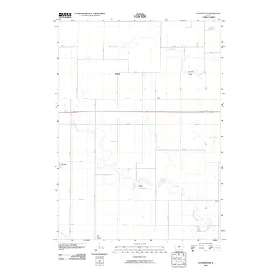 2010 Buckeye East2010 Print · USGSHardin County's agricultural heartland is documented here in the early twenty-first century, centered on the South Fork Iowa River. Genealogists can trace local heritage through sites like Tipton Norwegian Cemetery, Lincoln Cemetery, and the rural settlement of Cottage.
 - 2010 Map of Iowa Falls West, 2010 Print
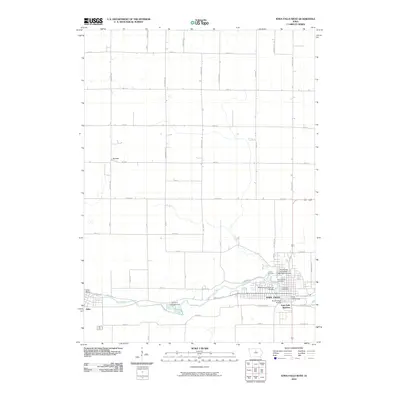 2010 Iowa Falls West2010 Print · USGSIowa Falls and the surrounding Hardin County landscape are shown here in the early 2000s, centered on the Iowa River corridor. Researchers can trace local infrastructure through several crossings like the Washington Avenue Bridge or locate burial records at Union Cemetery and Saint Marks Cemetery.
 - 2010 Map of Iowa Falls East, 2010 Print
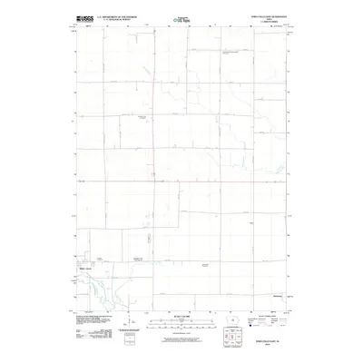 2010 Iowa Falls East2010 Print · USGSIowa Falls and its eastern rural surroundings are documented in this 2010 survey of the Hardin County landscape. Genealogists can locate family sites at Saint Peters Evangelical Cemetery and Jones Park Cemetery or trace the routes through Macy and Robertson.
 - 2013 Map of Buckeye East, 2013 Print
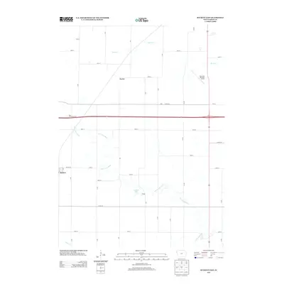 2013 Buckeye East2013 Print · USGSHardin County agriculture and small-town life are preserved in this 2013 survey of the Iowa Falls vicinity. Genealogists and local historians can trace the rural layouts of Buckeye, Cottage, and Racine or locate family-named landmarks like Gehrkes Lake.
 - 2013 Map of Iowa Falls East, 2013 Print
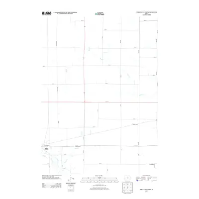 2013 Iowa Falls East2013 Print · USGSHardin County agriculture and the eastern edge of the city are captured here in the early twenty-first century. Genealogists and local historians can trace family locations near Iowa Falls and the small outlying communities of Macey and Robertson.
 - 2013 Map of Iowa Falls West, 2013 Print
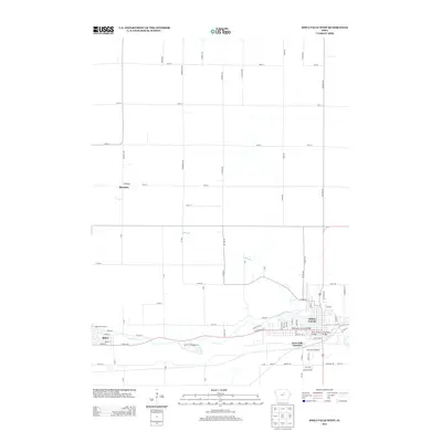 2013 Iowa Falls West2013 Print · USGSHardin County's river valley and surrounding farmland are captured here in the early twenty-first century. Researchers can trace the layout of Iowa Falls and Alden along the Iowa River, as well as the outlying settlement of Burdette.
 - 2015 Map of Iowa Falls West, 2015 Print
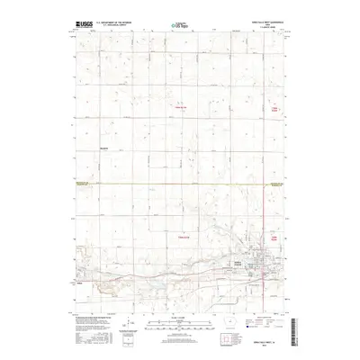 2015 Iowa Falls West2015 Print · USGSIowa Falls and Alden are shown in the mid-2010s as they follow the winding path of the Iowa River. Genealogists and local historians can trace cemetery locations like Union Cem or explore the campus layout of Ellsworth Community Coll.
 - 2015 Map of Iowa Falls East, 2015 Print
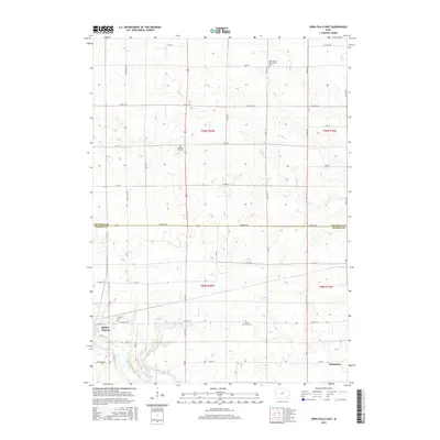 2015 Iowa Falls East2015 Print · USGSThe intersection of Hardin and Franklin counties comes into focus in this recent study of the rural landscape around Iowa Falls. Genealogists and historians can locate family landmarks like Pleasant Hill Cem, Friends Cem, and the small settlement of Robertson.
 - 2015 Map of Buckeye East, 2015 Print
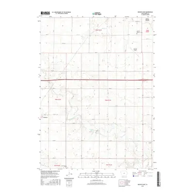 2015 Buckeye East2015 Print · USGSHardin County agriculture and river topography define this area near the city of Iowa Falls during the mid-2010s. Researchers can locate several rural burial sites like Cottage Cem and Lincoln Cem or trace the path of the S Fork Iowa River.
 - 2018 Map of Iowa Falls West, 2018 Print
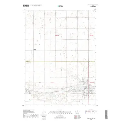 2018 Iowa Falls West2018 Print · USGSHardin County's river-oriented development is on full display here as the contemporary century progresses. Researchers can trace the civic layout of Iowa Falls and Alden, locating several historic river crossings like the Iowa Falls Bridge and Union Cem.
 - 2018 Map of Buckeye East, 2018 Print
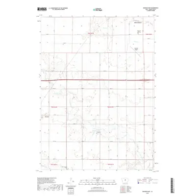 2018 Buckeye East2018 Print · USGSHardin County agriculture and river valleys define this area during the late twenty-tens, where the S Fork Iowa River cuts through the plains south of Iowa Falls. Local history researchers can locate several rural burial sites including Cottage Cem and the Tipton Norwegian Lutheran Cem.
 - 2018 Map of Iowa Falls East, 2018 Print
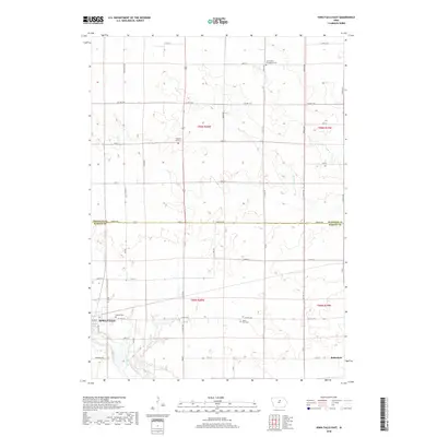 2018 Iowa Falls East2018 Print · USGSThe eastern edges of Hardin County come into focus during the late 2010s, showcasing the transition from town to prairie. Researchers can trace family history through local sites like Friends Cemetery and the settlement at Robertson along the Iowa River.
 - 2022 Map of Iowa Falls West, 2022 Print
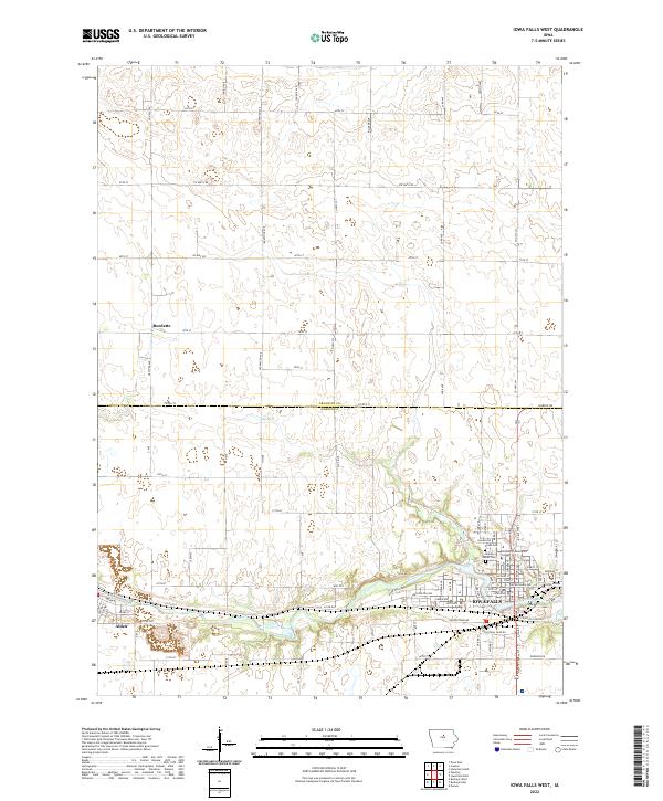 2022 Iowa Falls West2022 Print · USGSCrossing the border of Franklin and Hardin counties, this Iowa landscape centers on the river-fed growth of the early 2020s. Genealogists and local researchers can trace sites like Union Cem and Saint Mark's Cem near the banks of the Iowa River.
 - 2022 Map of Iowa Falls East, 2022 Print
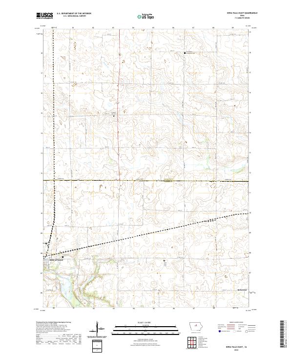 2022 Iowa Falls East2022 Print · USGSCentral Iowa in the early 2020s remains a landscape of historic farmsteads and rural cemeteries defined by the Iowa River and the border of Franklin and Hardin counties. Genealogists can trace family roots at Saint Peters Evangelical Cem, Pleasant Hill Cem, or the small settlement of Robertson.
 - 2022 Map of Buckeye East, 2022 Print
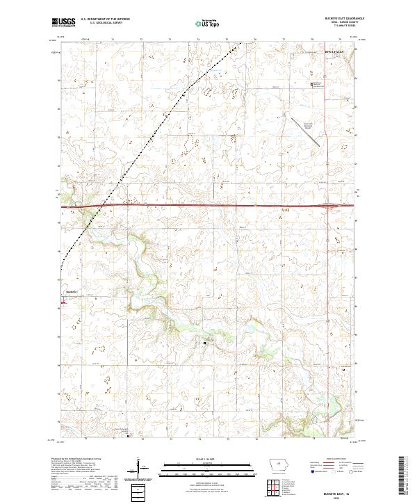 2022 Buckeye East2022 Print · USGSHardin County agriculture and river life are captured here in the early twenty-first century. Genealogists can trace family names through the Tipton Norwegian Lutheran Cem, Lincoln Cem, and the settlement of Buckeye.
End of results
Showing maps 1-23 of 23
Top cities near Iowa Falls
- Hampton historical maps
- Eldora historical maps
- Ackley historical maps
- Hubbard historical maps
- Alden historical maps
- Radcliffe historical maps
See more
Frequently asked questions
- What are the different types of historical maps available for Iowa Falls?
- What is the oldest map of Iowa Falls?
- Where can I purchase historical maps of Iowa Falls for my home or office?
- Where can I download high-res historical maps of Iowa Falls?
- Are there historical topographic maps available for Iowa Falls?
- Is there historical aerial imagery available for Iowa Falls?
- Where are historical maps of Iowa Falls sourced from?