Old Maps of Holstein, Iowa for Hiking & Exploration
Hike through history with 17 historic maps of Holstein. Explore old trails, ghost towns, and forgotten backroads — perfect for outdoor adventurers and local explorers.
- Rediscover forgotten places: Map out old mining camps, roads, and footpaths that no longer exist on modern maps.
- Layer with modern tools: Combine with LiDAR or satellite views to plan hikes through historical terrain.
- Made for exploration: Popular among hikers, overlanders, and local history lovers.
Use these maps to find adventure and explore the hidden past of Holstein.
Holstein, IA maps
(17)- 1954 Map of Fort Dodge, 1968 Print
 1954 Fort Dodge1968 Print · USGSNorthwest Iowa is shown here during a period of steady industrial and rail activity in the mid-fifties. Researchers can trace the extensive rail lines connecting Fort Dodge to mining and manufacturing sites like Gypsum and Industry Station.3 unique versions available
 - 1957 Map of Fort Dodge
 1957 Fort Dodge1957 Print · USGSWest-central Iowa thrived as a network of rail-linked agricultural hubs and river towns during the mid-fifties. Researchers can trace the development of the Des Moines River valley and locate historic landmarks in Fort Dodge, Storm Lake, and Lehigh.
 - 1958 Map of Fort Dodge
 1958 Fort Dodge1958 Print · USGSWestern Iowa in the mid-1950s reveals a productive landscape of river-valley industry and prairie agricultural hubs. Researchers can trace the development of the Des Moines River corridor through Fort Dodge and locate vanished local landmarks near Coalville or Storm Lake.
 - 1967 Map of Holstein, 1968 Print
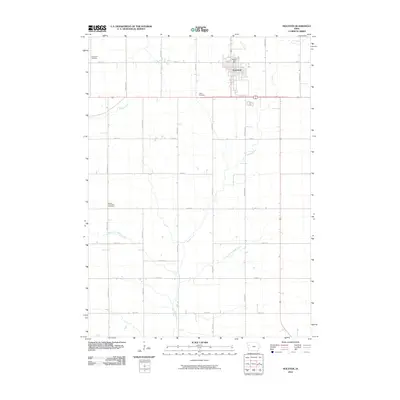
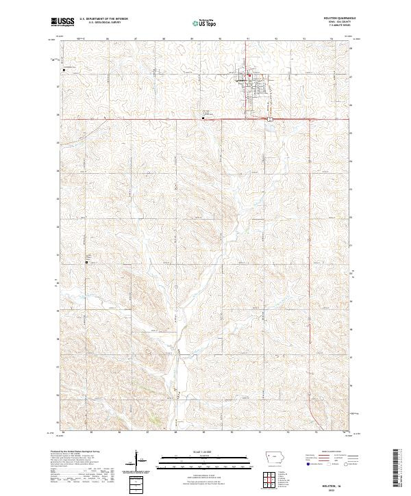
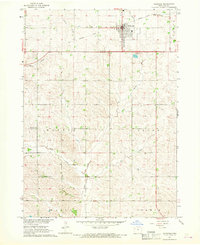 1967 Holstein1968 Print · USGSIda County farming country and the town of Holstein are shown in detail during the late 1960s. Genealogists and local historians can trace the paths of the Chicago and North Western Railroad Grade and locate the Norwegian Cem or Battle Center Ch.
 - 1969 Map of Quimby SE, 1971 Print
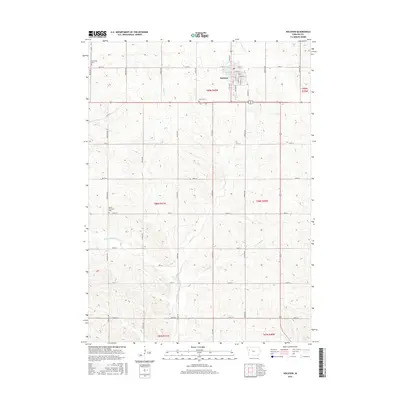
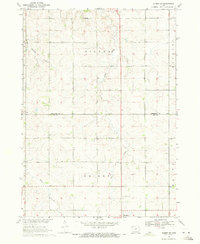 1969 Quimby SE1971 Print · USGSNorthwestern Iowa farmland at the end of the 1960s reveals a landscape of rural sections and expanding towns. Genealogists can trace family land across Griggs township and locate the Silver Cem and Holstein Cem near the town of Holstein.
 - 1985 Map of Storm Lake
 1985 Storm Lake1985 Print · USGSNorthwest Iowa's agricultural heartland is documented here in the mid-eighties, showing the vital rail-and-river network of the Little Sioux valley. Researchers can trace the legacy of regional hubs and smaller rail towns like Sutherland, Paullina, and Cherokee.3 unique versions available
 - 1985 Map of Ida Grove
 1985 Ida Grove1985 Print · USGSWestern Iowa's agricultural heartland is documented in the mid-1980s, showcasing a network of grain-hauling rail lines and river valley settlements. Genealogists and historians can trace family locations across Ida Grove and Denison or locate landmarks like Black Hawk Lake.2 unique versions available
 - 2010 Map of Quimby SE, 2010 Print
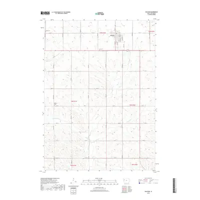
 2010 Quimby SE2010 Print · USGSCovers Holstein, including Cherokee County, Ida County, and other nearby areas
 - 2010 Map of Holstein, 2010 Print
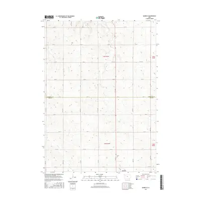
 2010 Holstein2010 Print · USGSCovers Holstein, including Ida County, United States, and other nearby areas
 - 2013 Map of Holstein, 2013 Print
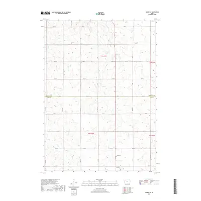
 2013 Holstein2013 Print · USGSCovers Holstein, including Ida County, United States, and other nearby areas
 - 2013 Map of Quimby SE, 2013 Print
 2013 Quimby SE2013 Print · USGSCovers Holstein, including Cherokee County, Ida County, and other nearby areas
 - 2015 Map of Holstein, 2015 Print
 2015 Holstein2015 Print · USGSCovers Holstein, including Ida County, United States, and other nearby areas
 - 2015 Map of Quimby SE, 2015 Print
 2015 Quimby SE2015 Print · USGSCovers Holstein, including Cherokee County, Ida County, and other nearby areas
 - 2018 Map of Holstein, 2018 Print
 2018 Holstein2018 Print · USGSCovers Holstein, including Ida County, United States, and other nearby areas
 - 2018 Map of Quimby SE, 2018 Print
 2018 Quimby SE2018 Print · USGSCovers Holstein, including Cherokee County, Ida County, and other nearby areas
 - 2022 Map of Holstein, 2022 Print
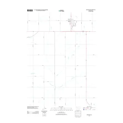
 2022 Holstein2022 Print · USGSHolstein and the surrounding Ida County farmlands are documented here in the early twenty-first century. Genealogists can locate family burial sites at Norwegian Cem or Battle Center Cem and trace the drainage of the W Fork Battle Cr.
 - 2022 Map of Quimby SE, 2022 Print
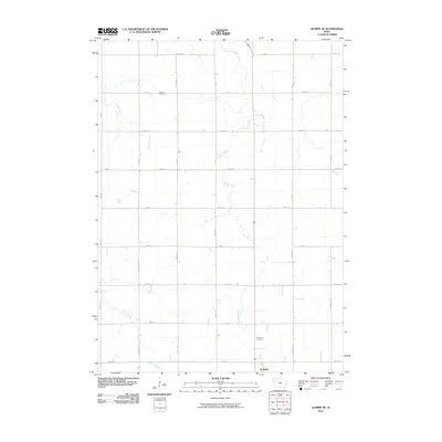
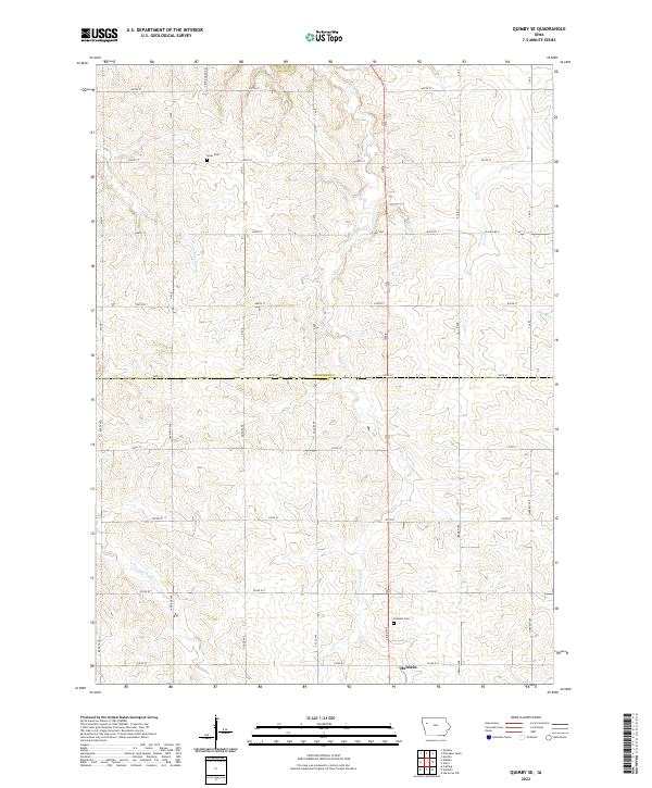 2022 Quimby SE2022 Print · USGSThe northern outskirts of Holstein and the rolling farmland of the Ida and Cherokee county line are captured here in the early 2020s. Genealogists can locate family sites near Holstein Cem or follow the paths of Silver Cr and Ashton Cr.
End of results
Showing maps 1-17 of 17
Top cities near Holstein
- Ida Grove historical maps
- Aurelia historical maps
- Battle Creek historical maps
- Galva historical maps
- Quimby historical maps
- Cushing historical maps
See more
Frequently asked questions
- What are the different types of historical maps available for Holstein?
- What is the oldest map of Holstein?
- Where can I purchase historical maps of Holstein for my home or office?
- Where can I download high-res historical maps of Holstein?
- Are there historical topographic maps available for Holstein?
- Is there historical aerial imagery available for Holstein?
- Where are historical maps of Holstein sourced from?