Old Maps of George, Iowa for Genealogy
Trace your family roots with 18 historic maps of George. These high-res maps reveal old neighborhoods, homesites, landmarks, and streets — helping you uncover where your ancestors lived and how the area evolved over time.
- Explore historic neighborhoods: Identify where your relatives may have lived in the 1800s or 1900s.
- Compare maps over time: Trace the changes in streets, buildings, and landmarks for multi-generational research.
- Perfect for genealogy & ancestry research: Used by family historians and researchers to map out lineage and migration.
These maps are an incredible resource for exploring your personal connection to George's past.
George, IA maps
(18)- 1954 Map of Fairmont, 1967 Print
 1954 Fairmont1967 Print · USGSThe prairie landscape of southern Minnesota and northern Iowa comes alive in this mid-century survey of the Coteau des Prairies. Genealogists and historians can trace the rail-connected growth of Fairmont and Blue Earth or locate family roots near St Kilian Ch and Union Slough National Wildlife Refuge.3 unique versions available
 - 1955 Map of Sioux Falls, 1967 Print
 1955 Sioux Falls1967 Print · USGSThe eastern South Dakota and western Minnesota borderlands come alive in the mid-fifties, showing the vital rail-to-river connections of the era. Genealogists can trace family footprints across townships like Madison and Pipestone, while following the paths of the Big Sioux River and the Chicago and North Western line.3 unique versions available
 - 1958 Map of Sioux Falls
 1958 Sioux Falls1958 Print · USGSThe tri-state borderlands of South Dakota, Minnesota, and Iowa are captured here during the mid-century peak of the regional rail network. Genealogists and historians can trace local landmarks like Augustana Academy, the St Marys Cem, and the path of the Illinois Central through Rock Rapids.
 - 1958 Map of Fairmont
 1958 Fairmont1958 Print · USGSThe borderlands of southern Minnesota and northern Iowa come alive in the mid-1950s, showing a landscape defined by glacial lakes and rail-line commerce. Researchers can trace historic landmarks like Lakeside Laboratory, Gridley Station, and the Bancroft Wildlife Refuge across the prairie.
 - 1971 Map of George West, 1973 Print
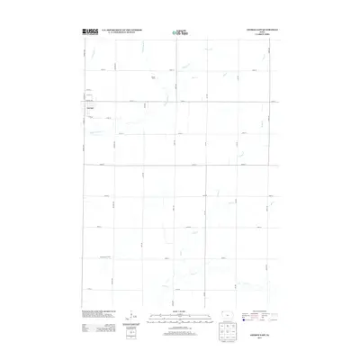
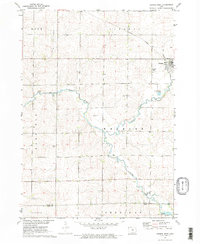 1971 George West1973 Print · USGSNorthwest Iowa's agricultural prairie is captured in the early seventies, centered on the railroad town of George. Genealogists and local historians can trace the Illinois Central rail line, find Evergreen Cem, and locate Hope Ch near the Little Rock River.2 unique versions available
 - 1972 Map of George East, 1975 Print
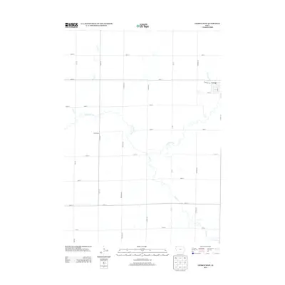
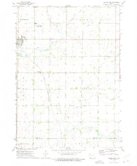 1972 George East1975 Print · USGSNorthwestern Iowa’s agricultural heartland is documented here during the early seventies, centered on the community of George. Researchers can trace the path of the Illinois Central Gulf railroad or locate rural landmarks like Zion Cem and First Baptist Ch.
 - 1985 Map of Iowa Great Lakes
 1985 Iowa Great Lakes1985 Print · USGSNorthwest Iowa’s glacial lakes and prairie towns are captured here in the mid-1980s, showing a landscape balanced between agriculture and lakeside recreation. Genealogists and historians can locate family sites near Holman Cem or trace the early rail corridors of the Chicago and North Western and the Chicago Milwaukee St Paul and Pacific.2 unique versions available
 - 1985 Map of Rock Rapids
 1985 Rock Rapids1985 Print · USGSThe borderlands of South Dakota and Iowa come into focus in the mid-1980s, centered on the fertile valleys of the Big Sioux River. Genealogists and researchers can trace rural homesteads near Rock Rapids, find Dordt College in Sioux Center, or locate old burial sites like Grace Hill Cem.2 unique versions available
 - 2010 Map of George West, 2010 Print
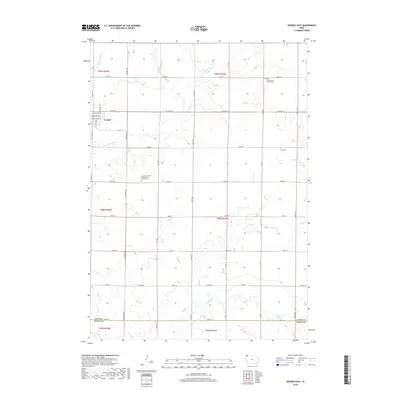
 2010 George West2010 Print · USGSCovers George, including Sioux County, Lyon County, and other nearby areas
 - 2010 Map of George East, 2010 Print
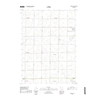
 2010 George East2010 Print · USGSCovers George, including Sioux County, Lyon County, and other nearby areas
 - 2013 Map of George East, 2013 Print
 2013 George East2013 Print · USGSCovers George, including Sioux County, Lyon County, and other nearby areas
 - 2013 Map of George West, 2013 Print
 2013 George West2013 Print · USGSCovers George, including Sioux County, Lyon County, and other nearby areas
 - 2015 Map of George West, 2015 Print
 2015 George West2015 Print · USGSCovers George, including Sioux County, Lyon County, and other nearby areas
 - 2015 Map of George East, 2015 Print
 2015 George East2015 Print · USGSCovers George, including Sioux County, Lyon County, and other nearby areas
 - 2018 Map of George East, 2018 Print
 2018 George East2018 Print · USGSCovers George, including Sioux County, Lyon County, and other nearby areas
 - 2018 Map of George West, 2018 Print
 2018 George West2018 Print · USGSCovers George, including Sioux County, Lyon County, and other nearby areas
 - 2022 Map of George West, 2022 Print
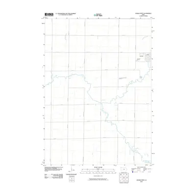
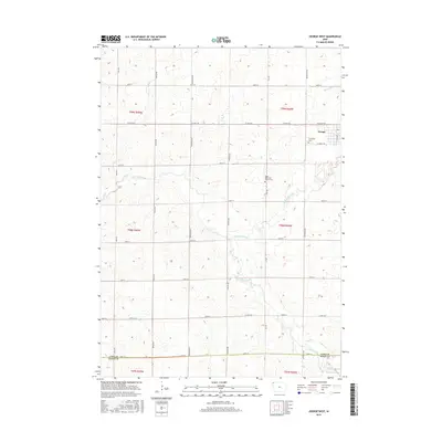
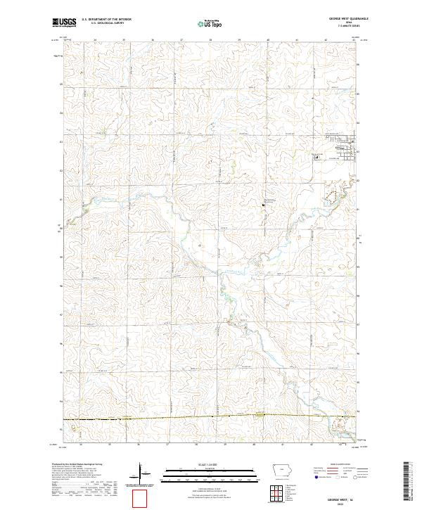 2022 George West2022 Print · USGSNorthwest Iowa's farm country near the Sioux County line is captured here in the early twenty-first century. Researchers can trace family history through rural landmarks like Evergreen Cem, Hope Reformed Church Cem, and the riverbanks of the Little Rock River.
 - 2022 Map of George East, 2022 Print
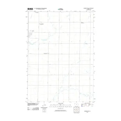
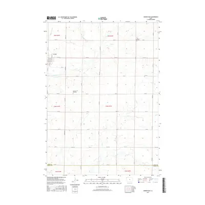
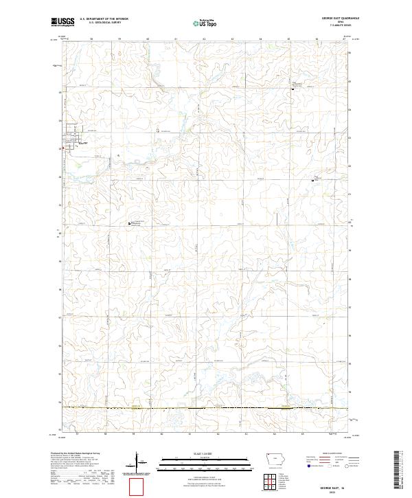 2022 George East2022 Print · USGSLyon County at the start of the 2020s shows a landscape of precision-gridded farm roads and meandering prairie creeks. Genealogists can trace family connections at the Zoar Presbyterian Church Cem or follow the path of the Little Rock River past the edge of George.
End of results
Showing maps 1-18 of 18
Top cities near George
- Sheldon historical maps
- Rock Rapids historical maps
- Hull historical maps
- Boyden historical maps
- Doon historical maps
- Ellsworth historical maps
See more
Frequently asked questions
- What are the different types of historical maps available for George?
- What is the oldest map of George?
- Where can I purchase historical maps of George for my home or office?
- Where can I download high-res historical maps of George?
- Are there historical topographic maps available for George?
- Is there historical aerial imagery available for George?
- Where are historical maps of George sourced from?