2000s (21st Century) Maps of Granville, Iowa
Explore 10 historic maps of Granville from the 2000s (21st Century). These maps offer a rare glimpse into what life looked like during the 2000s — showing old roads, neighborhoods, homes, and landmarks that have changed or disappeared over time.
Whether you're researching your family's past, planning a metal detecting trip, or studying how Granville's landscape evolved across the 2000s, these high-resolution maps are a powerful tool for exploring the history of this region.
- Focus on a specific era: All maps on this page are from the 2000s, giving you a focused view of this time period.
- See what’s changed: Compare century-old streets, trails, and buildings to today's modern landscape using overlays and satellite layers.
- Research with precision: Use these maps for genealogy, historical research, land use analysis, or educational projects.
- View, download, or print: Maps are fully viewable online in high resolution, and can be downloaded or printed for your own records.
Start exploring Granville's history through authentic maps from the 2000s. This is your window into the past.
Granville, IA maps
(10)- 2010 Map of Granville East, 2010 Print
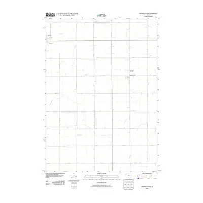 2010 Granville East2010 Print · USGSCovers Granville, including Germantown, Sioux County, and other nearby areas
 - 2010 Map of Granville West, 2010 Print
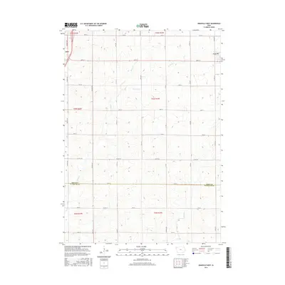
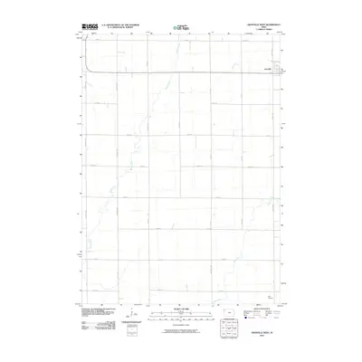 2010 Granville West2010 Print · USGSCovers Granville, including Alton, Sioux County, and other nearby areas
 - 2013 Map of Granville East, 2013 Print
 2013 Granville East2013 Print · USGSCovers Granville, including Germantown, Sioux County, and other nearby areas
 - 2013 Map of Granville West, 2013 Print
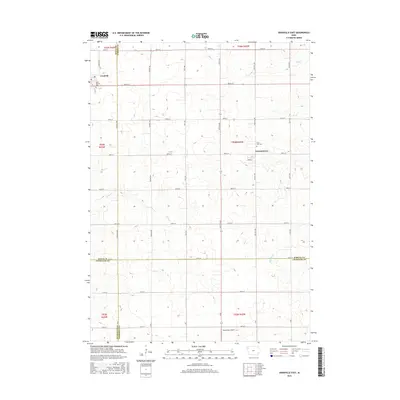
 2013 Granville West2013 Print · USGSCovers Granville, including Alton, Sioux County, and other nearby areas
 - 2015 Map of Granville West, 2015 Print
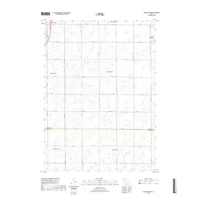
 2015 Granville West2015 Print · USGSCovers Granville, including Alton, Sioux County, and other nearby areas
 - 2015 Map of Granville East, 2015 Print
 2015 Granville East2015 Print · USGSCovers Granville, including Germantown, Sioux County, and other nearby areas
 - 2018 Map of Granville West, 2018 Print
 2018 Granville West2018 Print · USGSCovers Granville, including Alton, Sioux County, and other nearby areas
 - 2018 Map of Granville East, 2018 Print
 2018 Granville East2018 Print · USGSCovers Granville, including Germantown, Sioux County, and other nearby areas
 - 2022 Map of Granville West, 2022 Print
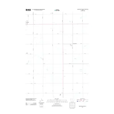
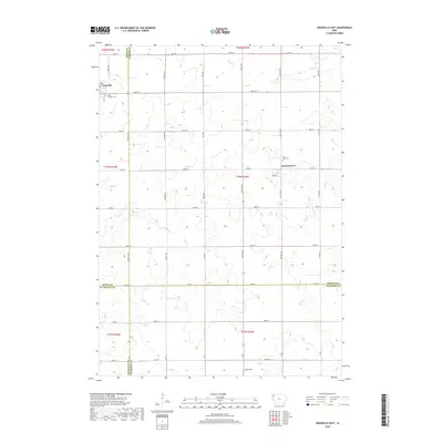
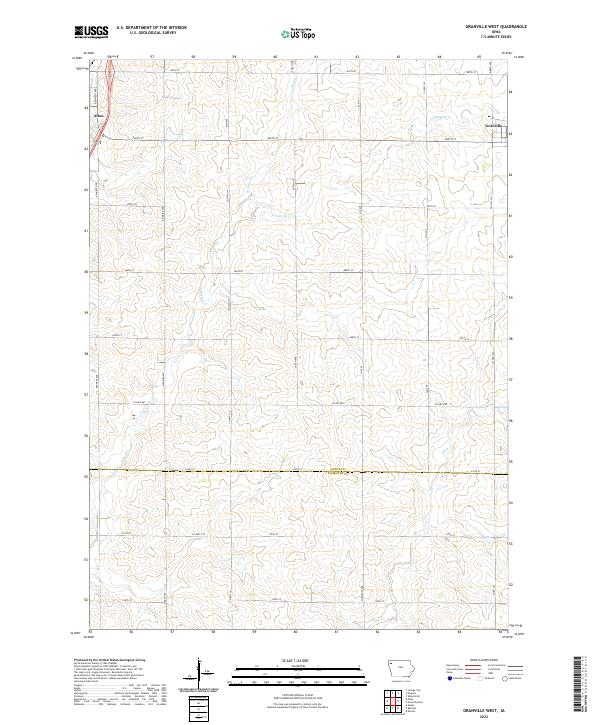 2022 Granville West2022 Print · USGSNorthwest Iowa’s agricultural heartland is documented here in the early twenty-first century, showing the rural grid between the communities of Granville and Alton. Researchers can trace old family section lines and drainage patterns along Granville Cr, Willow Cr, and Deep Cr.
 - 2022 Map of Granville East, 2022 Print
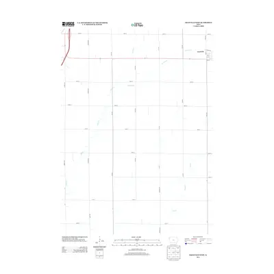
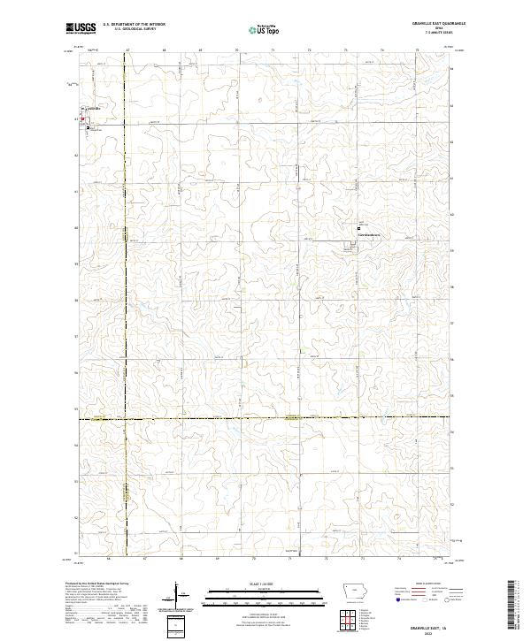 2022 Granville East2022 Print · USGSNorthwest Iowa farmland near the intersection of four counties is captured here in the early twenty-first century. Genealogists and local historians can locate rural landmarks like Saint Joseph Cem and Germantown, or trace the paths of Deep Cr and Whiskey Cr.
End of results
Showing maps 1-10 of 10
Top cities near Granville
- Orange City historical maps
- Sheldon historical maps
- Remsen historical maps
- Sanborn historical maps
- Alton historical maps
- Marcus historical maps
See more
Frequently asked questions
- What are the different types of historical maps available for Granville?
- What is the oldest map of Granville?
- Where can I purchase historical maps of Granville for my home or office?
- Where can I download high-res historical maps of Granville?
- Are there historical topographic maps available for Granville?
- Is there historical aerial imagery available for Granville?
- Where are historical maps of Granville sourced from?