Old Maps of Granville, Iowa for Academic Research
Study the evolution of Granville with 16 high-resolution historic maps. Whether you're teaching, researching, or modeling changes in land use, these maps provide essential visual documentation of urban, environmental, and geographic change.
- Analyze long-term change: Track patterns in development, transportation, and natural features.
- Ideal for environmental or urban studies: Support academic projects with primary historical map data.
- Use in the classroom or lab: Educators and researchers rely on these maps to bring historical context to life.
These maps are a powerful tool for teaching, research, and visualizing how Granville has changed over the decades.
Granville, IA maps
(16)- 1954 Map of Fort Dodge, 1968 Print
 1954 Fort Dodge1968 Print · USGSNorthwest Iowa is shown here during a period of steady industrial and rail activity in the mid-fifties. Researchers can trace the extensive rail lines connecting Fort Dodge to mining and manufacturing sites like Gypsum and Industry Station.3 unique versions available
 - 1957 Map of Fort Dodge
 1957 Fort Dodge1957 Print · USGSWest-central Iowa thrived as a network of rail-linked agricultural hubs and river towns during the mid-fifties. Researchers can trace the development of the Des Moines River valley and locate historic landmarks in Fort Dodge, Storm Lake, and Lehigh.
 - 1958 Map of Fort Dodge
 1958 Fort Dodge1958 Print · USGSWestern Iowa in the mid-1950s reveals a productive landscape of river-valley industry and prairie agricultural hubs. Researchers can trace the development of the Des Moines River corridor through Fort Dodge and locate vanished local landmarks near Coalville or Storm Lake.
 - 1969 Map of Granville West, 1971 Print
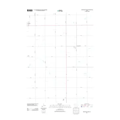
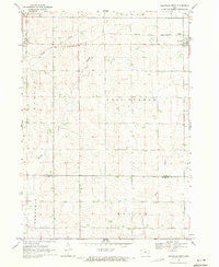 1969 Granville West1971 Print · USGSNorthwest Iowa's agricultural landscape is captured here in the late sixties as the township system matured. Researchers can trace the path of the Chicago and North Western railroad near Granville or follow the banks of Willow Creek and Deep Creek.
 - 1969 Map of Granville East, 1971 Print
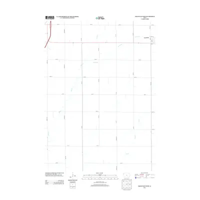
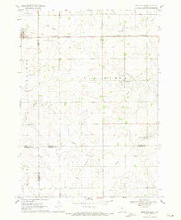 1969 Granville East1971 Print · USGSNorthwest Iowa's farm country comes into focus in the late sixties, where rail lines and section roads define the prairie. Genealogists and local historians can trace family ties at St Josephs Cem or locate the village of Germantown near Whiskey Creek.
 - 1985 Map of Storm Lake
 1985 Storm Lake1985 Print · USGSNorthwest Iowa's agricultural heartland is documented here in the mid-eighties, showing the vital rail-and-river network of the Little Sioux valley. Researchers can trace the legacy of regional hubs and smaller rail towns like Sutherland, Paullina, and Cherokee.3 unique versions available
 - 2010 Map of Granville East, 2010 Print
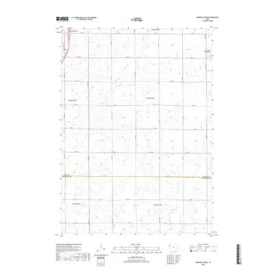
 2010 Granville East2010 Print · USGSCovers Granville, including Germantown, Sioux County, and other nearby areas
 - 2010 Map of Granville West, 2010 Print
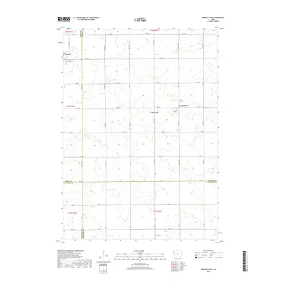
 2010 Granville West2010 Print · USGSCovers Granville, including Alton, Sioux County, and other nearby areas
 - 2013 Map of Granville East, 2013 Print
 2013 Granville East2013 Print · USGSCovers Granville, including Germantown, Sioux County, and other nearby areas
 - 2013 Map of Granville West, 2013 Print
 2013 Granville West2013 Print · USGSCovers Granville, including Alton, Sioux County, and other nearby areas
 - 2015 Map of Granville West, 2015 Print
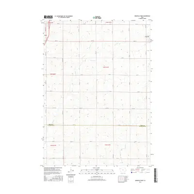 2015 Granville West2015 Print · USGSCovers Granville, including Alton, Sioux County, and other nearby areas
 - 2015 Map of Granville East, 2015 Print
 2015 Granville East2015 Print · USGSCovers Granville, including Germantown, Sioux County, and other nearby areas
 - 2018 Map of Granville West, 2018 Print
 2018 Granville West2018 Print · USGSCovers Granville, including Alton, Sioux County, and other nearby areas
 - 2018 Map of Granville East, 2018 Print
 2018 Granville East2018 Print · USGSCovers Granville, including Germantown, Sioux County, and other nearby areas
 - 2022 Map of Granville West, 2022 Print
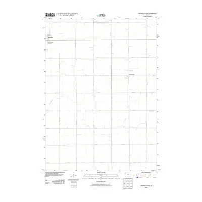
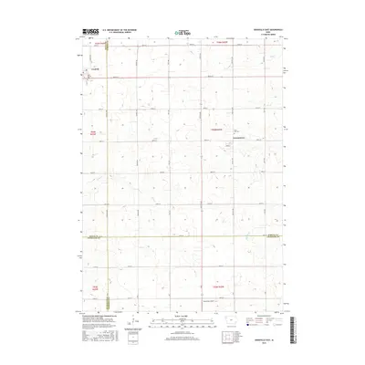
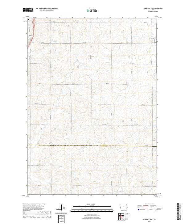 2022 Granville West2022 Print · USGSNorthwest Iowa’s agricultural heartland is documented here in the early twenty-first century, showing the rural grid between the communities of Granville and Alton. Researchers can trace old family section lines and drainage patterns along Granville Cr, Willow Cr, and Deep Cr.
 - 2022 Map of Granville East, 2022 Print
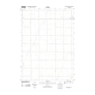
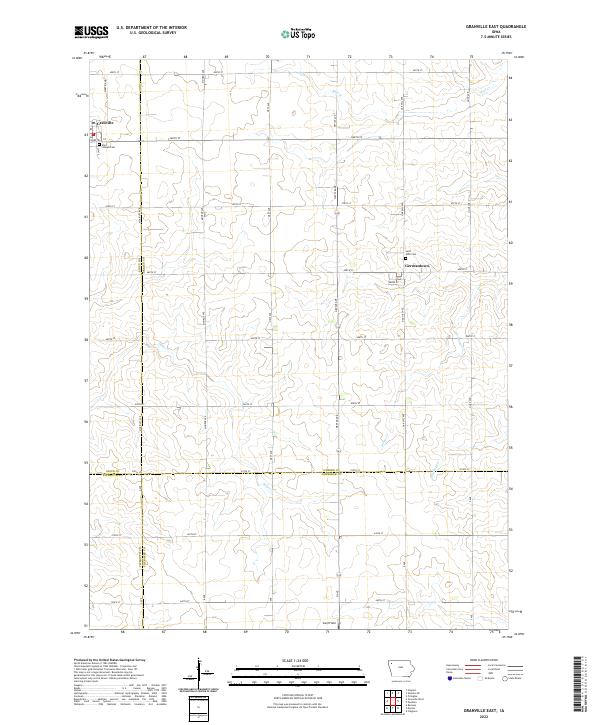 2022 Granville East2022 Print · USGSNorthwest Iowa farmland near the intersection of four counties is captured here in the early twenty-first century. Genealogists and local historians can locate rural landmarks like Saint Joseph Cem and Germantown, or trace the paths of Deep Cr and Whiskey Cr.
End of results
Showing maps 1-16 of 16
Top cities near Granville
- Orange City historical maps
- Sheldon historical maps
- Remsen historical maps
- Sanborn historical maps
- Alton historical maps
- Marcus historical maps
See more
Frequently asked questions
- What are the different types of historical maps available for Granville?
- What is the oldest map of Granville?
- Where can I purchase historical maps of Granville for my home or office?
- Where can I download high-res historical maps of Granville?
- Are there historical topographic maps available for Granville?
- Is there historical aerial imagery available for Granville?
- Where are historical maps of Granville sourced from?