2000s (21st Century) Maps of Indian Creek Township, Iowa
Explore 20 historic maps of Indian Creek Township from the 2000s (21st Century). These maps offer a rare glimpse into what life looked like during the 2000s — showing old roads, neighborhoods, homes, and landmarks that have changed or disappeared over time.
Whether you're researching your family's past, planning a metal detecting trip, or studying how Indian Creek Township's landscape evolved across the 2000s, these high-resolution maps are a powerful tool for exploring the history of this region.
- Focus on a specific era: All maps on this page are from the 2000s, giving you a focused view of this time period.
- See what’s changed: Compare century-old streets, trails, and buildings to today's modern landscape using overlays and satellite layers.
- Research with precision: Use these maps for genealogy, historical research, land use analysis, or educational projects.
- View, download, or print: Maps are fully viewable online in high resolution, and can be downloaded or printed for your own records.
Start exploring Indian Creek Township's history through authentic maps from the 2000s. This is your window into the past.
Indian Creek Township, IA maps
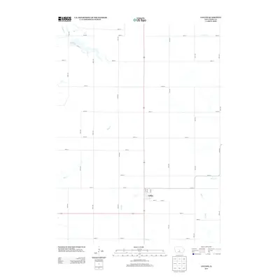
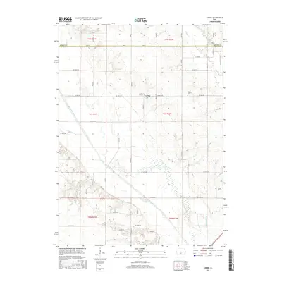
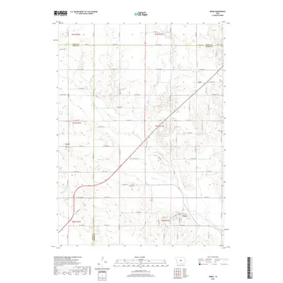
(20)- 2010 Map of Maxwell, 2010 Print
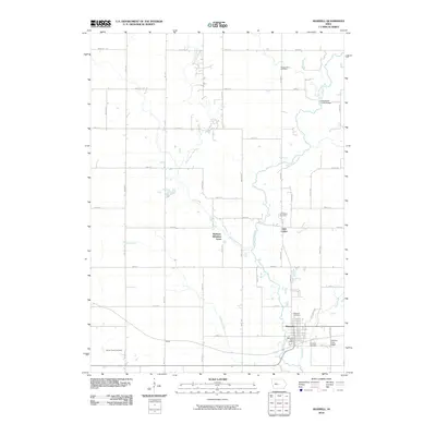 2010 Maxwell2010 Print · USGSCovers Indian Creek Township, including Nevada, Maxwell, and other nearby areas
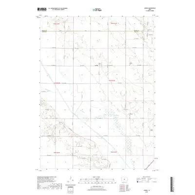
 - 2010 Map of Mingo, 2010 Print
 2010 Mingo2010 Print · USGSCovers Indian Creek Township, including Mingo, Collins Township, and other nearby areas
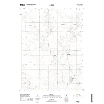
 - 2010 Map of Collins, 2010 Print
 2010 Collins2010 Print · USGSCovers Indian Creek Township, including Collins, Collins Township, and other nearby areas
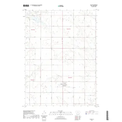
 - 2010 Map of Loring, 2010 Print
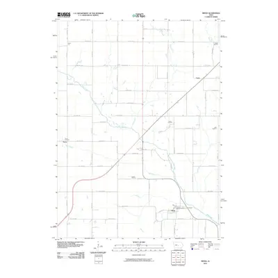
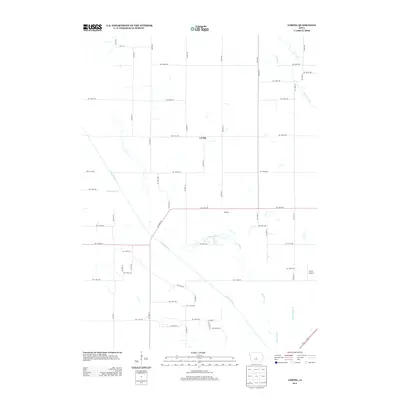
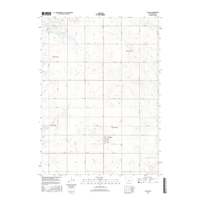
 2010 Loring2010 Print · USGSCovers Indian Creek Township, including Union Township, Loring, and other nearby areas
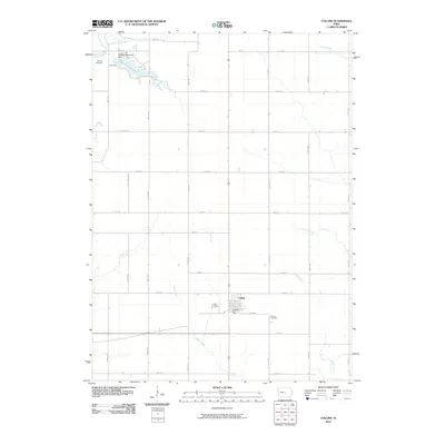
 - 2013 Map of Collins, 2013 Print
 2013 Collins2013 Print · USGSCovers Indian Creek Township, including Collins, Collins Township, and other nearby areas
 - 2013 Map of Loring, 2013 Print
 2013 Loring2013 Print · USGSCovers Indian Creek Township, including Union Township, Loring, and other nearby areas
 - 2013 Map of Maxwell, 2013 Print
 2013 Maxwell2013 Print · USGSCovers Indian Creek Township, including Nevada, Maxwell, and other nearby areas
 - 2013 Map of Mingo, 2013 Print
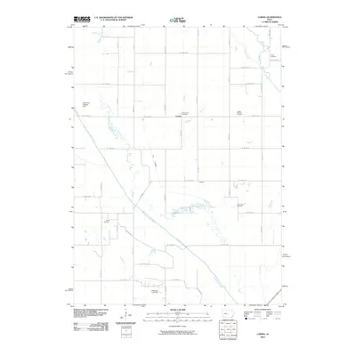
 2013 Mingo2013 Print · USGSCovers Indian Creek Township, including Mingo, Collins Township, and other nearby areas
 - 2015 Map of Collins, 2015 Print
 2015 Collins2015 Print · USGSCovers Indian Creek Township, including Collins, Collins Township, and other nearby areas
 - 2015 Map of Loring, 2015 Print
 2015 Loring2015 Print · USGSCovers Indian Creek Township, including Union Township, Loring, and other nearby areas
 - 2015 Map of Maxwell, 2015 Print
 2015 Maxwell2015 Print · USGSCovers Indian Creek Township, including Nevada, Maxwell, and other nearby areas
 - 2015 Map of Mingo, 2015 Print
 2015 Mingo2015 Print · USGSCovers Indian Creek Township, including Mingo, Collins Township, and other nearby areas
 - 2018 Map of Mingo, 2018 Print
 2018 Mingo2018 Print · USGSCovers Indian Creek Township, including Mingo, Collins Township, and other nearby areas
 - 2018 Map of Loring, 2018 Print
 2018 Loring2018 Print · USGSCovers Indian Creek Township, including Union Township, Loring, and other nearby areas
 - 2018 Map of Collins, 2018 Print
 2018 Collins2018 Print · USGSCovers Indian Creek Township, including Collins, Collins Township, and other nearby areas
 - 2018 Map of Maxwell, 2018 Print
 2018 Maxwell2018 Print · USGSCovers Indian Creek Township, including Nevada, Maxwell, and other nearby areas
 - 2022 Map of Mingo, 2022 Print
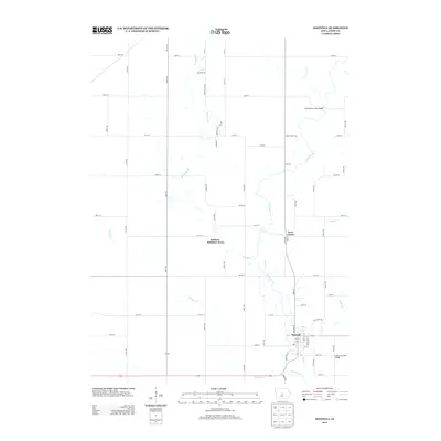
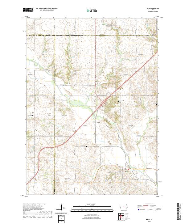 2022 Mingo2022 Print · USGSJasper County agricultural life and the tri-county borderlands are captured here in the early twenty-first century. Researchers can locate family roots at Ashton Cem or Deeter Cem and trace the conversion of old paths into the Chichaqua Valley Trl.
 - 2022 Map of Collins, 2022 Print
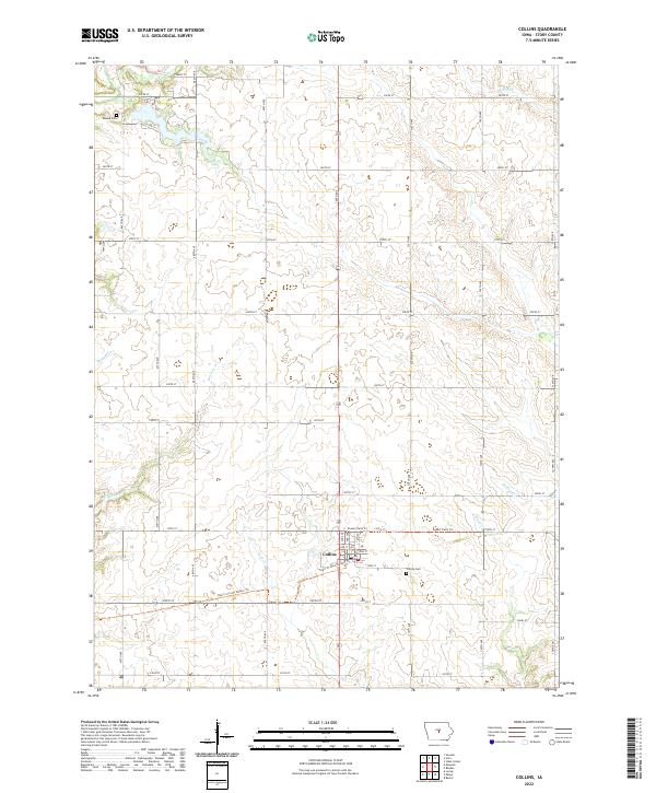 2022 Collins2022 Print · USGSCollins and the surrounding Story County farmland are shown here in the early twenty-first century as old rail lines find new life. Researchers can trace family history at Collins Cem or Mound Cem and follow the path of the Heart of Iowa Nature Trl.
 - 2022 Map of Maxwell, 2022 Print
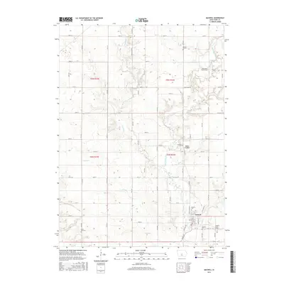
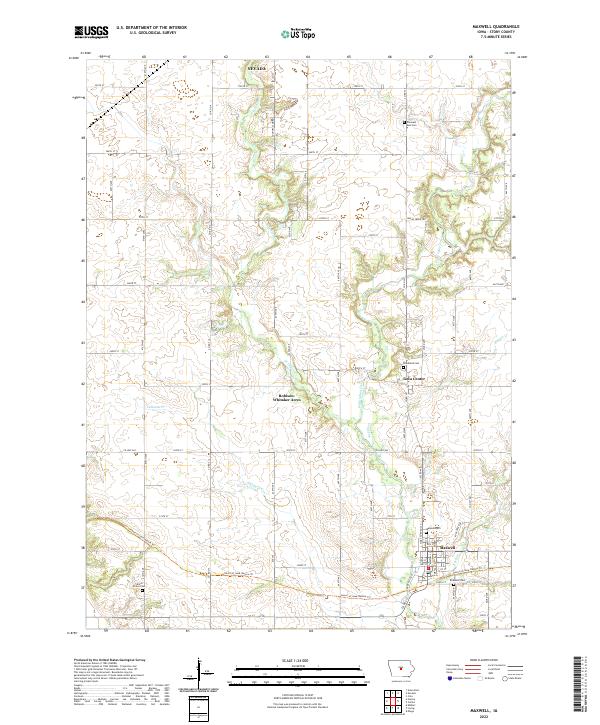 2022 Maxwell2022 Print · USGSStory County in the modern era reveals a rural landscape defined by agricultural traditions and creek-side settlements. Genealogists can locate several distinct burial sites including Woodland Cem, Brubaker Cem, and Center Grove Cem near the town of Maxwell.
 - 2022 Map of Loring, 2022 Print
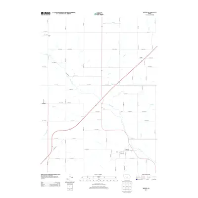
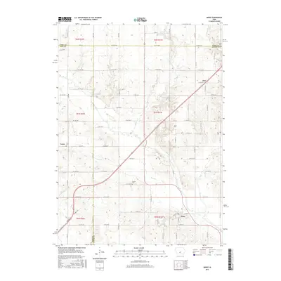
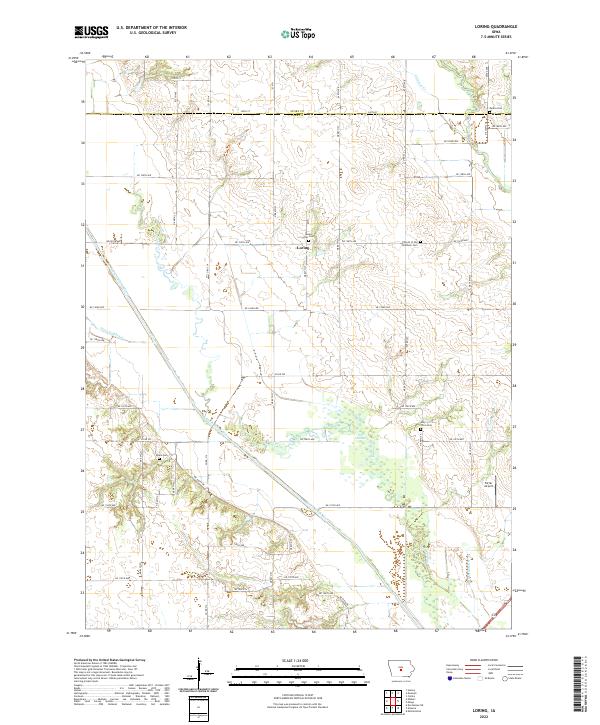 2022 Loring2022 Print · USGSThe rural border of Polk and Story Counties is captured here in the early twenty-first century, centered on the settlement of Loring. Genealogists can locate several local burial sites, including the Holy Cross Cem, Peoria Cem, and Mount Zion Cem.
End of results
Showing maps 1-20 of 20
Top cities near Indian Creek Township
- Ankeny historical maps
- Ames historical maps
- Altoona historical maps
- Bondurant historical maps
- Nevada historical maps
- Huxley historical maps
See more
Top neighborhoods of Indian Creek Township
- Rolling Hills Mobile Home Park historical maps
- Robison-Whitaker Acres historical maps
- Iowa Center historical maps
- Maxwell historical maps
Frequently asked questions
- What are the different types of historical maps available for Indian Creek Township?
- What is the oldest map of Indian Creek Township?
- Where can I purchase historical maps of Indian Creek Township for my home or office?
- Where can I download high-res historical maps of Indian Creek Township?
- Are there historical topographic maps available for Indian Creek Township?
- Is there historical aerial imagery available for Indian Creek Township?
- Where are historical maps of Indian Creek Township sourced from?