Old Maps of Indian Creek Township, Iowa for Metal Detecting
Plan your next treasure hunt with 29 historic maps of Indian Creek Township. Find old homesites, ghost towns, trails, and gathering spots that may be lost to time — perfect for identifying promising metal detecting locations.
- Locate forgotten sites: Uncover places like long-lost settlements, abandoned rail lines, or gathering spots.
- Plan better hunts: Use map overlays combined with LiDAR or satellite views to narrow in on historically rich areas.
- Made for detectorists: Thousands of hobbyists use these maps to discover relics, coins, and hidden history.
Use these historic maps to boost your research and find new opportunities beneath the surface of Indian Creek Township.
Indian Creek Township, IA maps
(29)- 1954 Map of Des Moines, 1973 Print
 1954 Des Moines1973 Print · USGSCentral Iowa's evolving landscape is captured here in the early seventies, just as major reservoirs were reshaping the river valleys. Genealogists and historians can trace the rail corridors of the Burlington Northern or locate family roots near Pella, Indianola, and Knoxville.2 unique versions available
 - 1956 Map of Des Moines
 1956 Des Moines1956 Print · USGSCentral Iowa in the mid-fifties shows a landscape defined by bustling rail hubs and deep-rooted agricultural research. Genealogists and researchers can trace the growth of Des Moines and Ames, locate the Sac and Fox Indian Reservation, or study the paths of the Skunk River and South Skunk River.
 - 1957 Map of Des Moines
 1957 Des Moines1957 Print · USGSCentral Iowa's post-war landscape is defined here by the converging rail lines and river valleys that shaped its earliest settlements. Genealogists and historians can trace the paths of the Rock Island Railroad and locate community landmarks in Des Moines, Ames, and Newton.
 - 1969 Map of Des Moines
 1969 Des Moines1969 Print · USGSCentral Iowa's fertile plains and growing capital are captured here during the late sixties, a time of major highway expansion and reservoir construction. Genealogists and researchers can trace rural township boundaries, local cemeteries, and rail lines serving towns like Pella, Grinnell, and Oskaloosa.
 - 1972 Map of Loring, 1975 Print
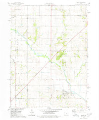
 1972 Loring1975 Print · USGSAgricultural life in central Iowa during the early 1970s centers on the South Skunk River and the small hamlet of Loring. Researchers can trace local history through sites like the Brethren Cem, Holy Cross Ch, and an Old Railroad Grade.
 - 1975 Map of Mingo, 1978 Print
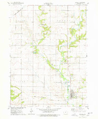
 1975 Mingo1978 Print · USGSMid-Iowa's agricultural landscape comes into focus during the 1970s at the junction of Story, Jasper, and Polk counties. Researchers can trace rural genealogy and transport through Mingo, the Old RR Grade at Farrar, and local landmarks like Ashton Ch and Deeter Cem.
 - 1975 Map of Maxwell, 1978 Print
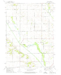
 1975 Maxwell1978 Print · USGSThis mid-1970s survey of southeastern Story County captures the agricultural heartland as the local rail and road networks matured. Genealogists and local historians can trace family roots through sites like Iowa Center, Center Grove Cem, and the historic street grid of Maxwell.
 - 1975 Map of Collins, 1978 Print
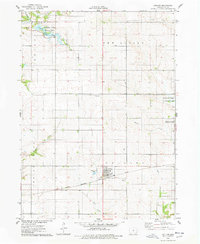 1975 Collins1978 Print · USGSMid-Iowa's agricultural and rail corridor is preserved here during the mid-seventies, centered on the community of Collins. Researchers can trace the path of the Chicago Milwaukee St Paul and Pacific railroad and locate family history at Mound Cem or Collins Cem.
 - 1984 Map of Des Moines, 1985 Print
 1984 Des Moines1985 Print · USGSCentral Iowa's heartland is captured in the mid-1980s as suburban growth met long-standing farm and rail infrastructure. Genealogists and researchers can trace the reaches of the Chicago and North Western through Maxwell or locate Laurel Hill Cem and Camp Dodge Military Reservation.2 unique versions available
 - 2010 Map of Maxwell, 2010 Print
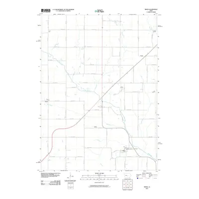
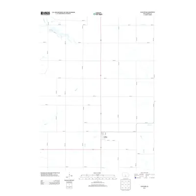
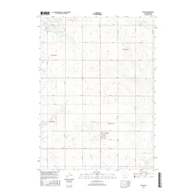
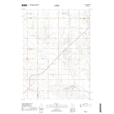
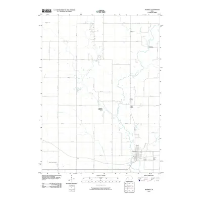 2010 Maxwell2010 Print · USGSCovers Indian Creek Township, including Nevada, Maxwell, and other nearby areas
 - 2010 Map of Mingo, 2010 Print
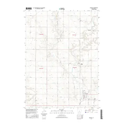
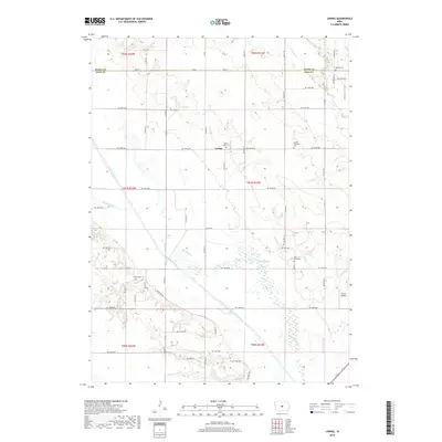
 2010 Mingo2010 Print · USGSCovers Indian Creek Township, including Mingo, Collins Township, and other nearby areas
 - 2010 Map of Collins, 2010 Print
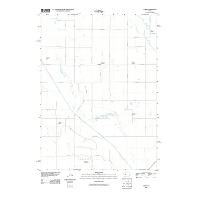
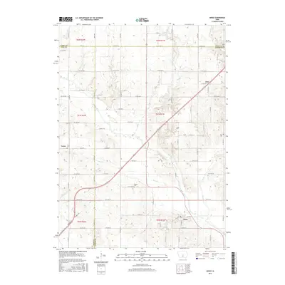
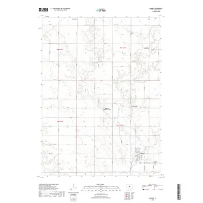
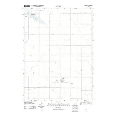 2010 Collins2010 Print · USGSCovers Indian Creek Township, including Collins, Collins Township, and other nearby areas
 - 2010 Map of Loring, 2010 Print
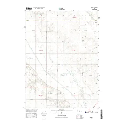
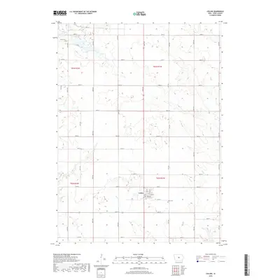
 2010 Loring2010 Print · USGSCovers Indian Creek Township, including Union Township, Loring, and other nearby areas
 - 2013 Map of Collins, 2013 Print
 2013 Collins2013 Print · USGSCovers Indian Creek Township, including Collins, Collins Township, and other nearby areas
 - 2013 Map of Loring, 2013 Print
 2013 Loring2013 Print · USGSCovers Indian Creek Township, including Union Township, Loring, and other nearby areas
 - 2013 Map of Maxwell, 2013 Print
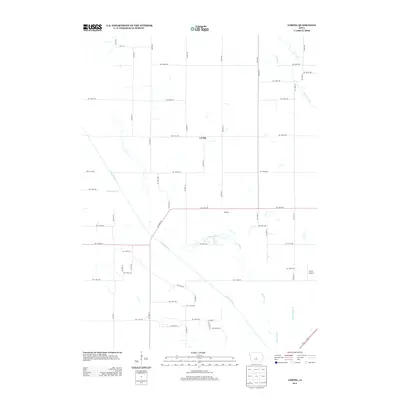
 2013 Maxwell2013 Print · USGSCovers Indian Creek Township, including Nevada, Maxwell, and other nearby areas
 - 2013 Map of Mingo, 2013 Print
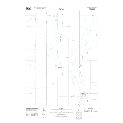
 2013 Mingo2013 Print · USGSCovers Indian Creek Township, including Mingo, Collins Township, and other nearby areas
 - 2015 Map of Collins, 2015 Print
 2015 Collins2015 Print · USGSCovers Indian Creek Township, including Collins, Collins Township, and other nearby areas
 - 2015 Map of Loring, 2015 Print
 2015 Loring2015 Print · USGSCovers Indian Creek Township, including Union Township, Loring, and other nearby areas
 - 2015 Map of Maxwell, 2015 Print
 2015 Maxwell2015 Print · USGSCovers Indian Creek Township, including Nevada, Maxwell, and other nearby areas
 - 2015 Map of Mingo, 2015 Print
 2015 Mingo2015 Print · USGSCovers Indian Creek Township, including Mingo, Collins Township, and other nearby areas
 - 2018 Map of Mingo, 2018 Print
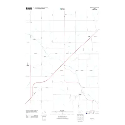
 2018 Mingo2018 Print · USGSCovers Indian Creek Township, including Mingo, Collins Township, and other nearby areas
 - 2018 Map of Loring, 2018 Print
 2018 Loring2018 Print · USGSCovers Indian Creek Township, including Union Township, Loring, and other nearby areas
 - 2018 Map of Collins, 2018 Print
 2018 Collins2018 Print · USGSCovers Indian Creek Township, including Collins, Collins Township, and other nearby areas
 - 2018 Map of Maxwell, 2018 Print
 2018 Maxwell2018 Print · USGSCovers Indian Creek Township, including Nevada, Maxwell, and other nearby areas
Showing maps 1-25 of 29
Top cities near Indian Creek Township
- Ankeny historical maps
- Ames historical maps
- Altoona historical maps
- Bondurant historical maps
- Nevada historical maps
- Huxley historical maps
See more
Top neighborhoods of Indian Creek Township
- Rolling Hills Mobile Home Park historical maps
- Robison-Whitaker Acres historical maps
- Iowa Center historical maps
- Maxwell historical maps
Frequently asked questions
- What are the different types of historical maps available for Indian Creek Township?
- What is the oldest map of Indian Creek Township?
- Where can I purchase historical maps of Indian Creek Township for my home or office?
- Where can I download high-res historical maps of Indian Creek Township?
- Are there historical topographic maps available for Indian Creek Township?
- Is there historical aerial imagery available for Indian Creek Township?
- Where are historical maps of Indian Creek Township sourced from?