Old Maps of Conway, Iowa for Metal Detecting
Plan your next treasure hunt with 30 historic maps of Conway. Find old homesites, ghost towns, trails, and gathering spots that may be lost to time — perfect for identifying promising metal detecting locations.
- Locate forgotten sites: Uncover places like long-lost settlements, abandoned rail lines, or gathering spots.
- Plan better hunts: Use map overlays combined with LiDAR or satellite views to narrow in on historically rich areas.
- Made for detectorists: Thousands of hobbyists use these maps to discover relics, coins, and hidden history.
Use these historic maps to boost your research and find new opportunities beneath the surface of Conway.
Conway, IA maps
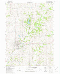
(30)- 1940 Map of Bedford, 1954 Print
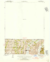 1940 Bedford1954 Print · USGSThe Iowa-Missouri borderlands come alive in this mid-century survey of Taylor, Worth, and Nodaway counties. Researchers can trace the Chicago Great Western rail line and locate vanished rural hubs like Luteston Sch and Isadora.2 unique versions available
 - 1943 Map of Bedford
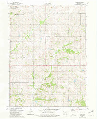
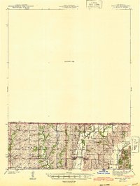 1943 Bedford1943 Print · USGSThe borderlands of Iowa and Missouri are captured here in the early 1940s, showing a landscape defined by small-town life and the railroad. Genealogists can trace family footprints through numerous rural landmarks like New Hope Cem, Star of the West Ch, and the Platte Dell Sch.2 unique versions available
 - 1955 Map of Nebraska City, 1967 Print
 1955 Nebraska City1967 Print · USGSThe four-state region surrounding the Missouri River valley appears here in the mid-1950s, a landscape of rail-dependent market towns and rural school districts. Genealogists can locate family landmarks like the Rock Bluff School, St Oswald Church, and the Clarinda State Hospital.3 unique versions available
 - 1957 Map of Nebraska City
 1957 Nebraska City1957 Print · USGSThe four-state junction of Nebraska, Iowa, Missouri, and Kansas comes alive in this mid-fifties survey of the Missouri River valley. Genealogists and historians can trace the rail-and-road networks connecting Nebraska City, Maryville, and the Squaw Creek National Wildlife Refuge.
 - 1958 Map of Nebraska City
 1958 Nebraska City1958 Print · USGSThe Missouri River Valley and its fertile four-state borderlands are captured here during the mid-century expansion of the regional highway and rail networks. Genealogists can trace family roots through numerous rural landmarks like Moulton School, Shady Grove Church, and the Clarinda State Hospital.
 - 1980 Map of Gravity
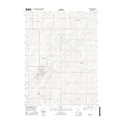
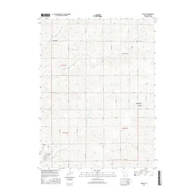
 1980 Gravity1980 Print · USGSTaylor County farmland is captured here in the late 1970s, organized around the many branches of the One Hundred and Two River. Genealogists and local historians can locate Washington Cem, the Old Railroad Grade, and small centers like Gravity and Bushville.
 - 1980 Map of Merle Junction
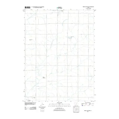
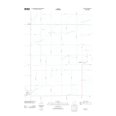
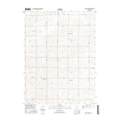
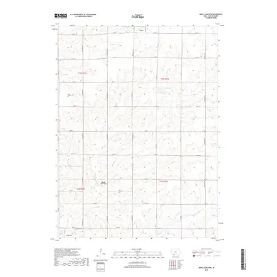
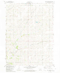 1980 Merle Junction1980 Print · USGSTaylor County farmland in the late seventies is centered on the rail crossroads at Merle Junction. Family researchers and local historians can trace the paths of the Mid Fork One Hundred and Two River, locate the Conway Cem, and see the footprint of Wilson County Park.
 - 1980 Map of Bedford, 1981 Print
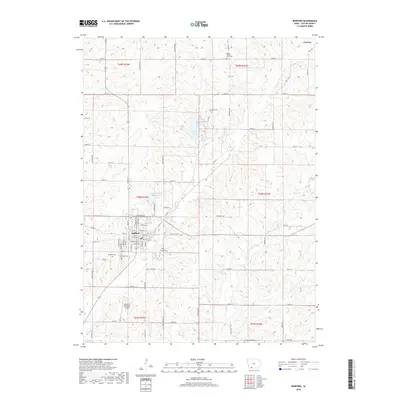
 1980 Bedford1981 Print · USGSBedford and the surrounding Taylor County countryside are captured here in the early eighties, showcasing a landscape of small-town industry and rural recreation. Researchers can trace family history through sites like Lexington Cem or follow the Burlington Northern line past the Lake of Three Fires.
 - 1980 Map of Conway, 1981 Print
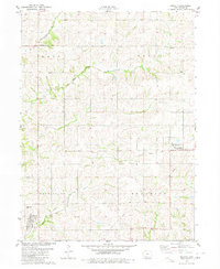
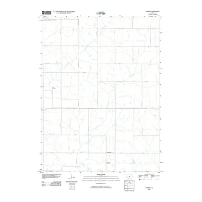
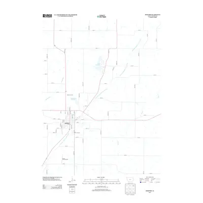
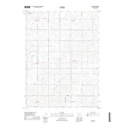
 1980 Conway1981 Print · USGSTaylor County farmland in the late seventies is captured here, showing the rural structure of townships from Marshall to Jefferson. Genealogists can locate family farmsteads and burial sites like Platteville Cem near the settlements of Conway and Platteville.
 - 1985 Map of Mount Ayr
 1985 Mount Ayr1985 Print · USGSThe Iowa-Missouri borderlands are captured here in the mid-eighties, showing a landscape defined by the branching forks of the Platte River and Grand River. Researchers can trace the heritage of rural communities and conservation sites like Lake of Three Fires State Park and Rose Hill Cemetery.2 unique versions available
 - 2010 Map of Bedford, 2010 Print
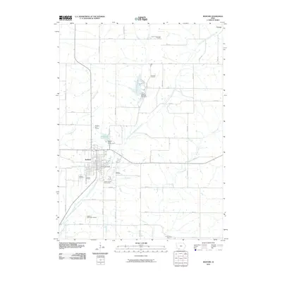 2010 Bedford2010 Print · USGSCovers Conway, including Bedford, Taylor County, and other nearby areas
 - 2010 Map of Gravity, 2010 Print
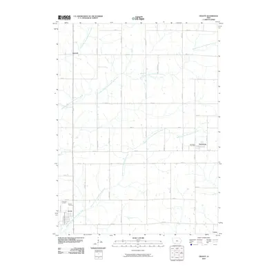 2010 Gravity2010 Print · USGSCovers Conway, including Gravity, Sharpsburg, and other nearby areas
 - 2010 Map of Conway, 2010 Print
 2010 Conway2010 Print · USGSCovers Conway, including Platteville, Taylor County, and other nearby areas
 - 2010 Map of Merle Junction, 2010 Print
 2010 Merle Junction2010 Print · USGSCovers Conway, including Lenox, Clearfield, and other nearby areas
 - 2013 Map of Conway, 2013 Print
 2013 Conway2013 Print · USGSCovers Conway, including Platteville, Taylor County, and other nearby areas
 - 2013 Map of Merle Junction, 2013 Print
 2013 Merle Junction2013 Print · USGSCovers Conway, including Lenox, Clearfield, and other nearby areas
 - 2013 Map of Bedford, 2013 Print
 2013 Bedford2013 Print · USGSCovers Conway, including Bedford, Taylor County, and other nearby areas
 - 2013 Map of Gravity, 2013 Print
 2013 Gravity2013 Print · USGSCovers Conway, including Gravity, Sharpsburg, and other nearby areas
 - 2015 Map of Bedford, 2015 Print
 2015 Bedford2015 Print · USGSCovers Conway, including Bedford, Taylor County, and other nearby areas
 - 2015 Map of Conway, 2015 Print
 2015 Conway2015 Print · USGSCovers Conway, including Platteville, Taylor County, and other nearby areas
 - 2015 Map of Gravity, 2015 Print
 2015 Gravity2015 Print · USGSCovers Conway, including Gravity, Sharpsburg, and other nearby areas
 - 2015 Map of Merle Junction, 2015 Print
 2015 Merle Junction2015 Print · USGSCovers Conway, including Lenox, Clearfield, and other nearby areas
 - 2018 Map of Bedford, 2018 Print
 2018 Bedford2018 Print · USGSCovers Conway, including Bedford, Taylor County, and other nearby areas
 - 2018 Map of Conway, 2018 Print
 2018 Conway2018 Print · USGSCovers Conway, including Platteville, Taylor County, and other nearby areas
 - 2018 Map of Merle Junction, 2018 Print
 2018 Merle Junction2018 Print · USGSCovers Conway, including Lenox, Clearfield, and other nearby areas
Showing maps 1-25 of 30
Top cities near Conway
- Bedford historical maps
- Lenox historical maps
- Hopkins historical maps
- Clearfield historical maps
- Gravity historical maps
- Blockton historical maps
See more
Frequently asked questions
- What are the different types of historical maps available for Conway?
- What is the oldest map of Conway?
- Where can I purchase historical maps of Conway for my home or office?
- Where can I download high-res historical maps of Conway?
- Are there historical topographic maps available for Conway?
- Is there historical aerial imagery available for Conway?
- Where are historical maps of Conway sourced from?