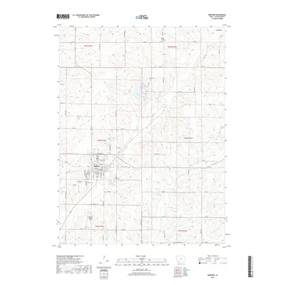
2018 Map of Bedford
USGS Topo · Published 2018About this map
Bedford serves as the focal point of this southwestern Iowa landscape, showing a dense residential grid punctuated by local landmarks like Fairview Cem and Bedford Cem. The town's infrastructure is detailed down to named streets like Main St, Polk St, and Jefferson St, reflecting a traditional county seat layout. North of the town center, the Bedford Water Supply Lake and the larger Lake of Three Fires are central water features set against the section-line road network that defines the rural character of Taylor County.
Find a feature on this map
44 named features on this map. Tap any name to fly to it.
Don’t see what you’re looking for? This feature index may not catch every label — zoom into the map to look around manually.
Map Details
Editions of this 2018 Bedford Map
This is the sole edition of this map. No revisions or reprints were ever made.
Other maps of this area

1940 · Bedford
USGS Topo · 1:62,500

1940 · New Market
USGS Topo · 1:62,500

1943 · Bedford
USGS Topo · 1:62,500

1943 · New Market
USGS Topo · 1:62,500

1955 · Nebraska City
USGS Topo · 1:250,000

1957 · Nebraska City
USGS Topo · 1:250,000

1958 · Nebraska City
USGS Topo · 1:250,000

1980 · Gravity
USGS Topo · 1:24,000

1980 · Merle Junction
USGS Topo · 1:24,000

1980 · Guss
USGS Topo · 1:24,000