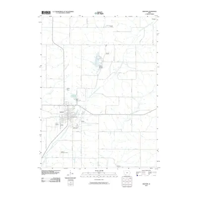
2010 Map of Bedford
USGS Topo · Published 2010About this map
Bedford serves as the focal point of this southwestern Iowa landscape, situated along the East Fork One Hundred and Two River. The town's civic infrastructure is well-defined, featuring the Bedford Post Office, the Taylor County Fairgrounds, and the Bedford Municipal Airport. Water management is central to the area's layout, evidenced by the Bedford Water Supply Lake and its associated dam just north of the city center.
Find a feature on this map
43 named features on this map. Tap any name to fly to it.
Don’t see what you’re looking for? This feature index may not catch every label — zoom into the map to look around manually.
Map Details
Editions of this 2010 Bedford Map
This is the sole edition of this map. No revisions or reprints were ever made.
Other maps of this area

1940 · Bedford
USGS Topo · 1:62,500

1940 · New Market
USGS Topo · 1:62,500

1943 · Bedford
USGS Topo · 1:62,500

1943 · New Market
USGS Topo · 1:62,500

1955 · Nebraska City
USGS Topo · 1:250,000

1957 · Nebraska City
USGS Topo · 1:250,000

1958 · Nebraska City
USGS Topo · 1:250,000

1980 · Gravity
USGS Topo · 1:24,000

1980 · Merle Junction
USGS Topo · 1:24,000

1980 · Guss
USGS Topo · 1:24,000