Old Maps of White Oak Township, Iowa for Hiking & Exploration
Hike through history with 32 historic maps of White Oak Township. Explore old trails, ghost towns, and forgotten backroads — perfect for outdoor adventurers and local explorers.
- Rediscover forgotten places: Map out old mining camps, roads, and footpaths that no longer exist on modern maps.
- Layer with modern tools: Combine with LiDAR or satellite views to plan hikes through historical terrain.
- Made for exploration: Popular among hikers, overlanders, and local history lovers.
Use these maps to find adventure and explore the hidden past of White Oak Township.
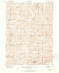
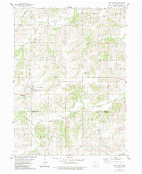
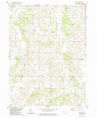
White Oak Township, IA maps
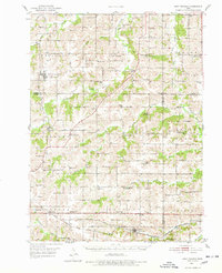
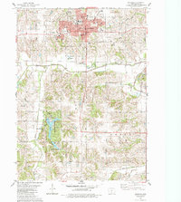
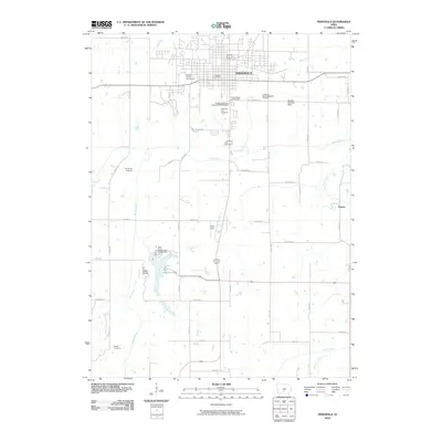
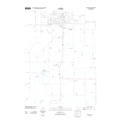
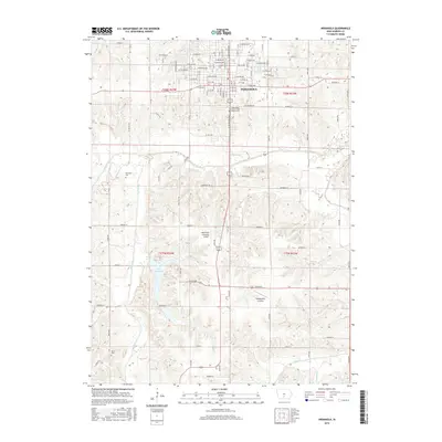
(32)- 1931 Map of Indianola
 1931 Indianola1931 Print · USGSWarren County at the end of the 1920s reveals a landscape of thriving rail junctions and rural schoolhouses across central Iowa. Researchers can trace the path of the Chicago Great Western RR through Martensdale and locate local landmarks like Scotch Ridge Sch and the Orillia Mine.4 unique versions available
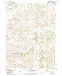
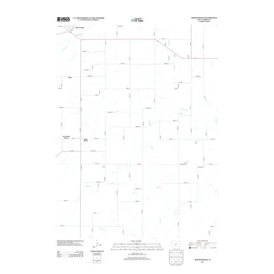
 - 1950 Map of New Virginia, 1978 Print
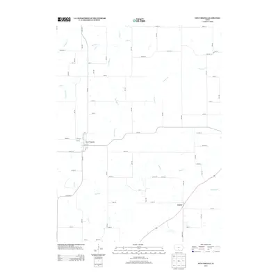
 1950 New Virginia1978 Print · USGSThe rural borders of Warren and Clarke counties come into focus at mid-century, showing a landscape of small settlements and neighborhood schoolhouses. Genealogists can trace family roots through numerous sites like Mt Tabor Cem, Ottawa Sch, and the Chicago Burlington and Quincy rail line.
 - 1952 Map of New Virginia
 1952 New Virginia1952 Print · USGSSouthern Iowa rural life in the early fifties is mapped here in fine detail across the border of Warren and Clarke counties. Genealogists can locate family landmarks like Mt Tabor Cem, Ottawa, and numerous local schoolhouses including Quiet Dell Sch and Cool School.2 unique versions available
 - 1954 Map of Des Moines, 1973 Print
 1954 Des Moines1973 Print · USGSCentral Iowa's evolving landscape is captured here in the early seventies, just as major reservoirs were reshaping the river valleys. Genealogists and historians can trace the rail corridors of the Burlington Northern or locate family roots near Pella, Indianola, and Knoxville.2 unique versions available
 - 1956 Map of Des Moines
 1956 Des Moines1956 Print · USGSCentral Iowa in the mid-fifties shows a landscape defined by bustling rail hubs and deep-rooted agricultural research. Genealogists and researchers can trace the growth of Des Moines and Ames, locate the Sac and Fox Indian Reservation, or study the paths of the Skunk River and South Skunk River.
 - 1957 Map of Des Moines
 1957 Des Moines1957 Print · USGSCentral Iowa's post-war landscape is defined here by the converging rail lines and river valleys that shaped its earliest settlements. Genealogists and historians can trace the paths of the Rock Island Railroad and locate community landmarks in Des Moines, Ames, and Newton.
 - 1969 Map of Des Moines
 1969 Des Moines1969 Print · USGSCentral Iowa's fertile plains and growing capital are captured here during the late sixties, a time of major highway expansion and reservoir construction. Genealogists and researchers can trace rural township boundaries, local cemeteries, and rail lines serving towns like Pella, Grinnell, and Oskaloosa.
 - 1983 Map of New Virginia
 1983 New Virginia1983 Print · USGSNew Virginia and the surrounding Warren and Clarke County townships are documented here during the early eighties. Local researchers can trace the Old RR Grade or locate historic burial sites like Mt Tabor Cem and Liberty Cem.
 - 1983 Map of Medora
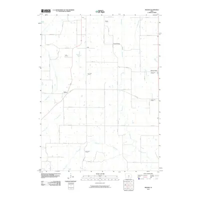
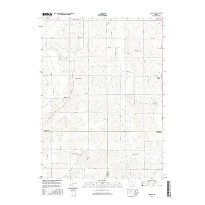
 1983 Medora1983 Print · USGSWarren County farm country comes into focus in the early 1980s, showcasing the rural road network and township divisions south of Indianola. Researchers can trace family history through sites like Indian Valley Cem, the crossroads at Medora, and Bethel Chapel.2 unique versions available
 - 1983 Map of Indianola
 1983 Indianola1983 Print · USGSIndianola and central Warren County are captured here in the early eighties, documenting the city's growth and its surrounding recreational lands. Genealogists and local historians can locate Simpson College, trace the Chicago and North Western rail line, or find family sites like Hewitt Cem and Browns Chapel.
 - 1983 Map of Martensdale, 1984 Print
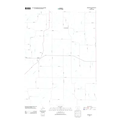
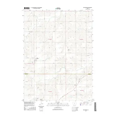
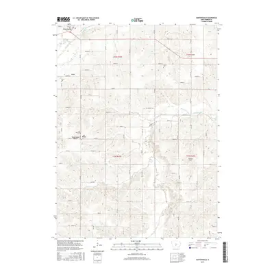
 1983 Martensdale1984 Print · USGSWarren County in the early eighties shows a landscape of steady agricultural communities linked by a dense network of township roads. Genealogists can trace family locations near St Marys, the Wallace Cem, and rural churches like Center Chapel.
 - 1984 Map of Indianola
 1984 Indianola1984 Print · USGSSouth-central Iowa in the mid-1980s reveals a patchwork of established rail hubs and significant new conservation areas. Trace the Chicago and North Western rail lines and explore rural landmarks like Lake Ahquabi State Park or the Strip Mine near Knoxville.
 - 2010 Map of New Virginia, 2010 Print
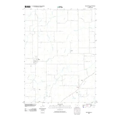 2010 New Virginia2010 Print · USGSCovers White Oak Township, including New Virginia, Squaw Township, and other nearby areas
 - 2010 Map of Martensdale, 2010 Print
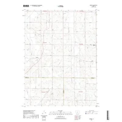
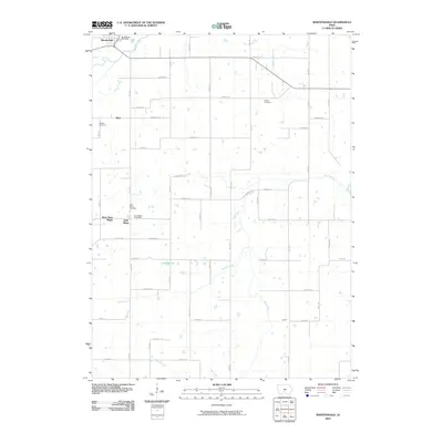 2010 Martensdale2010 Print · USGSCovers White Oak Township, including Martensdale, Saint Marys, and other nearby areas
 - 2010 Map of Indianola, 2010 Print
 2010 Indianola2010 Print · USGSCovers White Oak Township, including Indianola, Otter Township, and other nearby areas
 - 2010 Map of Medora, 2010 Print
 2010 Medora2010 Print · USGSCovers White Oak Township, including Squaw Township, Liberty Township, and other nearby areas
 - 2013 Map of New Virginia, 2013 Print
 2013 New Virginia2013 Print · USGSCovers White Oak Township, including New Virginia, Squaw Township, and other nearby areas
 - 2013 Map of Medora, 2013 Print
 2013 Medora2013 Print · USGSCovers White Oak Township, including Squaw Township, Liberty Township, and other nearby areas
 - 2013 Map of Indianola, 2013 Print
 2013 Indianola2013 Print · USGSCovers White Oak Township, including Indianola, Otter Township, and other nearby areas
 - 2013 Map of Martensdale, 2013 Print
 2013 Martensdale2013 Print · USGSCovers White Oak Township, including Martensdale, Saint Marys, and other nearby areas
 - 2015 Map of Medora, 2015 Print
 2015 Medora2015 Print · USGSCovers White Oak Township, including Squaw Township, Liberty Township, and other nearby areas
 - 2015 Map of New Virginia, 2015 Print
 2015 New Virginia2015 Print · USGSCovers White Oak Township, including New Virginia, Squaw Township, and other nearby areas
 - 2015 Map of Martensdale, 2015 Print
 2015 Martensdale2015 Print · USGSCovers White Oak Township, including Martensdale, Saint Marys, and other nearby areas
 - 2015 Map of Indianola, 2015 Print
 2015 Indianola2015 Print · USGSCovers White Oak Township, including Indianola, Otter Township, and other nearby areas
 - 2018 Map of Medora, 2018 Print
 2018 Medora2018 Print · USGSCovers White Oak Township, including Squaw Township, Liberty Township, and other nearby areas
Showing maps 1-25 of 32
Top cities near White Oak Township
- Des Moines historical maps
- West Des Moines historical maps
- Indianola historical maps
- Norwalk historical maps
- Carlisle historical maps
- Milo historical maps
See more
Frequently asked questions
- What are the different types of historical maps available for White Oak Township?
- What is the oldest map of White Oak Township?
- Where can I purchase historical maps of White Oak Township for my home or office?
- Where can I download high-res historical maps of White Oak Township?
- Are there historical topographic maps available for White Oak Township?
- Is there historical aerial imagery available for White Oak Township?
- Where are historical maps of White Oak Township sourced from?