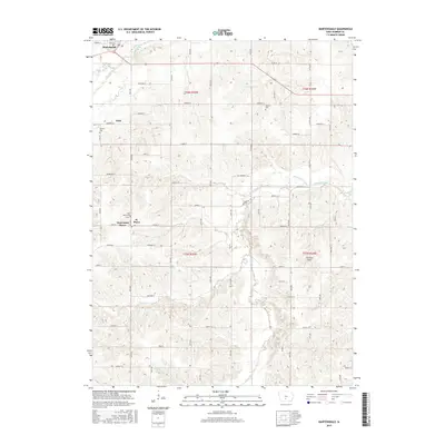
2015 Map of Martensdale
USGS Topo · Published 2015About this map
St. Marys and Martensdale anchor this portion of Warren County, where the meandering course of the Middle River and South River defines the local topography. This agricultural landscape is etched with a network of section-line roads, including Johnson St, Lowe St, and Nixon St, which connect the small communities and outlying farmsteads. The presence of Saint Marys Cem, Wallace Cem, and Warren Cem provides critical points of reference for genealogists tracking early families in Jefferson Township.
Find a feature on this map
45 named features on this map. Tap any name to fly to it.
Don’t see what you’re looking for? This feature index may not catch every label — zoom into the map to look around manually.
Map Details
Editions of this 2015 Martensdale Map
This is the sole edition of this map. No revisions or reprints were ever made.
Other maps of this area

1931 · Indianola
USGS Topo · 1:62,500

1950 · New Virginia
USGS Topo · 1:62,500

1951 · Osceola
USGS Topo · 1:62,500

1951 · St. Charles
USGS Topo · 1:62,500

1952 · New Virginia
USGS Topo · 1:62,500

1954 · Des Moines
USGS Topo · 1:250,000

1956 · Des Moines
USGS Topo · 1:250,000

1957 · Des Moines
USGS Topo · 1:250,000

1969 · Des Moines
USGS Topo · 1:250,000
1972 · Scotch Ridge
USGS Topo · 1:24,000