Old Maps of Seymour, Iowa for Hiking & Exploration
Hike through history with 18 historic maps of Seymour. Explore old trails, ghost towns, and forgotten backroads — perfect for outdoor adventurers and local explorers.
- Rediscover forgotten places: Map out old mining camps, roads, and footpaths that no longer exist on modern maps.
- Layer with modern tools: Combine with LiDAR or satellite views to plan hikes through historical terrain.
- Made for exploration: Popular among hikers, overlanders, and local history lovers.
Use these maps to find adventure and explore the hidden past of Seymour.
Seymour, IA maps
(18)- 1942 Map of Seymour, 1954 Print
 1942 Seymour1954 Print · USGSSouthern Iowa and the Missouri borderlands are captured here just as the rural schoolhouse era reached its peak. Genealogists can trace family roots through dozens of local landmarks like Genoa Cem, Locust Valley Mine, and the Kniffin Sch.
 - 1944 Map of Seymour
 1944 Seymour1944 Print · USGSSouthern Iowa and northern Missouri are captured here in the early 1940s, showing a landscape defined by crossing rail lines and small-town junctions. Genealogists can locate numerous country schools and burial sites like Genoa Cem, Schultz Cem, and Happy Hollow Sch.2 unique versions available
 - 1954 Map of Centerville, 1967 Print
 1954 Centerville1967 Print · USGSThe Iowa-Missouri borderlands at mid-century reveal a landscape shaped by river valleys and the height of the regional rail network. Genealogists and historians can trace the paths of the Wabash railroad and locate old townsites like Mystic, Moulton, and Greentop.3 unique versions available
 - 1957 Map of Centerville
 1957 Centerville1957 Print · USGSThe Iowa-Missouri borderlands in the mid-fifties reveal a landscape of river-valley agriculture and vital rail corridors. Genealogists and historians can trace family-named landmarks and small-town growth in Centerville, Kirksville, and along the Wabash railroad line.
 - 1958 Map of Centerville
 1958 Centerville1958 Print · USGSThe Iowa-Missouri borderlands come into focus during the mid-fifties, showing a landscape defined by river valleys and intersecting rail lines. Genealogists and local historians can trace family roots through dozens of rural hubs like Bloomfield, Unionville, and Corydon.
 - 1979 Map of Seymour East, 1980 Print
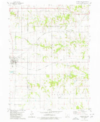 1979 Seymour East1980 Print · USGSThe borderlands of Wayne and Appanoose Counties are captured here in the late seventies, showing a landscape shaped by competing rail lines. Genealogists and local historians can locate several rural landmarks including Little Flock Chapel, Crossroads Cem, and the settlement of Jerome.
 - 1979 Map of Seymour West, 1980 Print
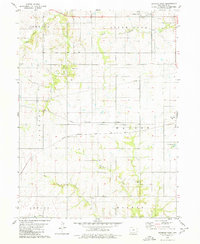 1979 Seymour West1980 Print · USGSWayne County agriculture and rail transportation intersect in the late 1970s near the settlements of Promise City and Seymour. Genealogists and historians can trace defunct routes like the Old RR Gr or locate family burial sites at Bollman Cem.
 - 1981 Map of Leon, 1982 Print
 1981 Leon1982 Print · USGSSouthern Iowa and northern Missouri are captured here in the early eighties as the rural landscape balances traditional agriculture with large-scale water management. Researchers can trace the path of the Burlington Northern through Leon or locate early settlements like Decatur City and New Buda.
 - 2010 Map of Seymour West, 2010 Print
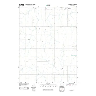 2010 Seymour West2010 Print · USGSSouthern Wayne County is shown here in the early 2000s, centered on the rural intersection of agriculture and community. Genealogists can locate numerous small burial sites like Sharp Cemetery and Tharp Cemetery along with the Promise City Post Office.
 - 2010 Map of Seymour East, 2010 Print
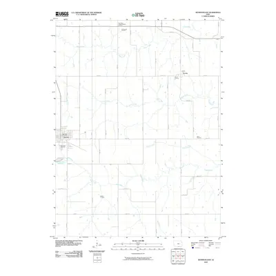 2010 Seymour East2010 Print · USGSSouthern Iowa agricultural life and small-town infrastructure are documented here during the early twenty-first century. Genealogists and local historians can trace family locations through several burial grounds, including Miller Cemetery, Jerome Cemetery, and the community of Piano.
 - 2013 Map of Seymour West, 2013 Print
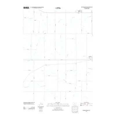 2013 Seymour West2013 Print · USGSWayne County’s southern farmlands are captured in the early twenty-first century, showing the rural grid and water systems of the day. Genealogists and local historians can trace family locations near Promise City, Kirkwood, and the Seymour City Reservoir.
 - 2013 Map of Seymour East, 2013 Print
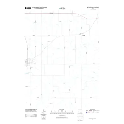 2013 Seymour East2013 Print · USGSSeymour and the surrounding Wayne County farmland are captured here in the early twenty-first century. Researchers can trace the layout of Seymour, locate the Little Flock Chapel Roadside Rest Area, and follow the courses of Walnut Cr and Shoal Cr.
 - 2015 Map of Seymour West, 2015 Print
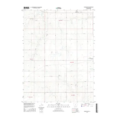 2015 Seymour West2015 Print · USGSWayne County agriculture and rural life are preserved here in the mid-2010s, showing the landscape between Promise City and Seymour. Researchers can trace family history through numerous rural burial sites like Bollman Cem and Sharp Cem or follow the winding Locust Cr.
 - 2015 Map of Seymour East, 2015 Print
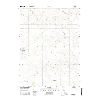 2015 Seymour East2015 Print · USGSThe Wayne and Appanoose county line divides this rural landscape as it appeared in the mid-2010s, centered on the small hubs of Seymour and Plano. Genealogists and local historians can trace family locations through several community burial grounds, including Southlawn Cem and Jerome Cem.
 - 2018 Map of Seymour East, 2018 Print
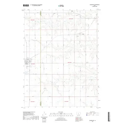 2018 Seymour East2018 Print · USGSThe rural borderlands of Wayne and Appanoose Counties are detailed here in the late 2010s. Researchers can trace family history through several local burial grounds including Southlawn Cem, Jerome Cem, and the secluded Schultz Cem.
 - 2018 Map of Seymour West, 2018 Print
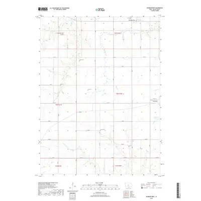 2018 Seymour West2018 Print · USGSWayne County agricultural life in the early twenty-first century is captured here through a dense network of rural landmarks and drainage systems. Genealogists and historians can locate numerous family and community burial sites like Ripper Cem and Tharp Cem or trace the early township nodes of JEWELL and Promise City.
 - 2022 Map of Seymour East, 2022 Print
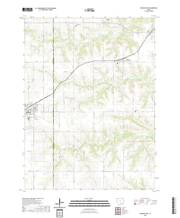 2022 Seymour East2022 Print · USGSSouthern Iowa's rural landscape is captured here during the 2020s, showing the settled farmsteads and small communities along the Appanoose and Wayne county line. Researchers can locate several burial sites including Jerome Cem and Shoultz Cem, or trace the path of Shoal Cr.
 - 2022 Map of Seymour West, 2022 Print
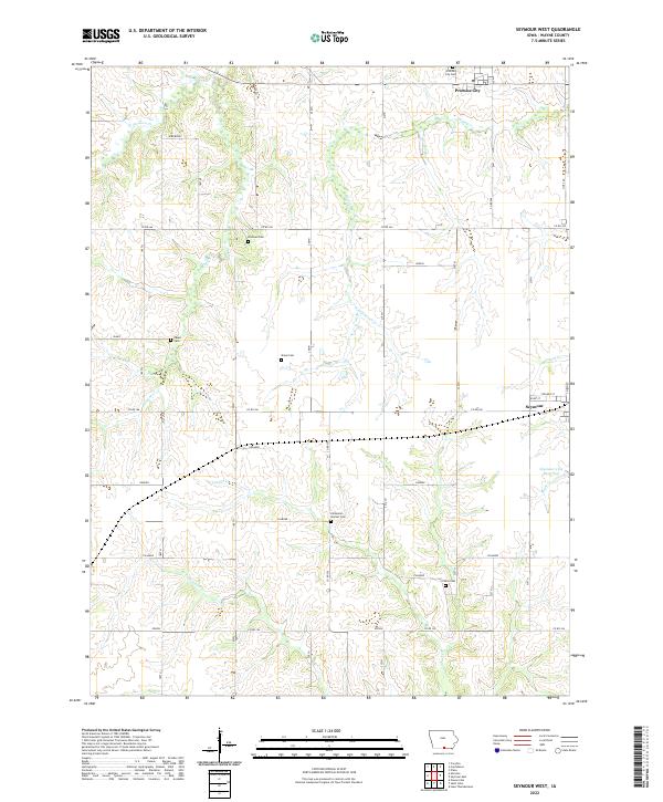 2022 Seymour West2022 Print · USGSWayne County, Iowa, is captured here in its modern agricultural form, showing the enduring rural layout of the southern prairie. Genealogists can locate several family burial sites including the Bollman Cem, Sharp Cem, and Tharp Cem.
End of results
Showing maps 1-18 of 18
Top cities near Seymour
- Unionville historical maps
- Corydon historical maps
- Mystic historical maps
- Cincinnati historical maps
- Lucerne historical maps
- Promise City historical maps
See more
Frequently asked questions
- What are the different types of historical maps available for Seymour?
- What is the oldest map of Seymour?
- Where can I purchase historical maps of Seymour for my home or office?
- Where can I download high-res historical maps of Seymour?
- Are there historical topographic maps available for Seymour?
- Is there historical aerial imagery available for Seymour?
- Where are historical maps of Seymour sourced from?