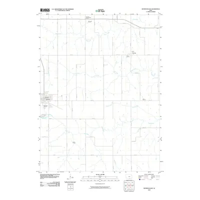
2010 Map of Seymour East
USGS Topo · Published 2010About this map
Seymour serves as the primary hub of this Wayne County landscape, centered around the Seymour Post Office and the southern Southlawn Cemetery. The terrain is defined by a dense network of waterways, including the winding paths of Walnut Creek, Cooper Creek, and Shoal Creek, which feed into the Seymour City Reservoir. The area’s rural heritage is evident in the numerous small burial grounds scattered across the countryside, such as Crossroads Cemetery and Schultz Cemetery, marking the historical settlement patterns of the township.
Find a feature on this map
27 named features on this map. Tap any name to fly to it.
Don’t see what you’re looking for? This feature index may not catch every label — zoom into the map to look around manually.
Map Details
Editions of this 2010 Seymour East Map
This is the sole edition of this map. No revisions or reprints were ever made.
Other maps of this area

1935 · Russell
USGS Topo · 1:62,500

1938 · Russell
USGS Topo · 1:62,500

1939 · Centerville
USGS Topo · 1:62,500

1939 · Mystic
USGS Topo · 1:62,500

1941 · Centerville
USGS Topo · 1:62,500

1942 · Mystic
USGS Topo · 1:62,500

1942 · Seymour
USGS Topo · 1:62,500

1944 · Seymour
USGS Topo · 1:62,500

1954 · Centerville
USGS Topo · 1:250,000

1957 · Centerville
USGS Topo · 1:250,000