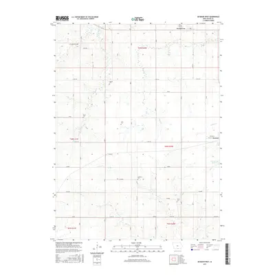
2015 Map of Seymour West
USGS Topo · Published 2015About this map
Promise City anchors the northern boundary of this Wayne County landscape, where the agricultural grid is interrupted by the meandering courses of Walnut Cr and Locust Cr. The map reveals a dense network of family and community burial grounds, including the Bollman, Ripper, Sharp, Hickerson, and Tharp cemeteries, providing a detailed spatial record for genealogical research. To the southeast, the outskirts of Seymour are visible, defined by the Seymour City Reservoir and the headwaters of Shoal Cr. The terrain is marked by township divisions such as Granger, Filimore, and Edison, which reflect the historic organization of this rural Iowa territory. The western reaches are drained by the Jackson Cr and W Fork Locust Cr, illustrating the watershed patterns that have shaped local farming and settlement since the late nineteenth century.
Find a feature on this map
44 named features on this map. Tap any name to fly to it.
Don’t see what you’re looking for? This feature index may not catch every label — zoom into the map to look around manually.
Map Details
Editions of this 2015 Seymour West Map
This is the sole edition of this map. No revisions or reprints were ever made.
Other maps of this area

1934 · Humeston
USGS Topo · 1:48,000

1935 · Russell
USGS Topo · 1:62,500

1937 · Corydon
USGS Topo · 1:62,500

1938 · Russell
USGS Topo · 1:62,500

1942 · Seymour
USGS Topo · 1:62,500

1944 · Seymour
USGS Topo · 1:62,500

1954 · Centerville
USGS Topo · 1:250,000

1957 · Centerville
USGS Topo · 1:250,000

1958 · Centerville
USGS Topo · 1:250,000

1964 · Allerton
USGS Topo · 1:24,000