Old Maps of Sedan, Kansas for Hiking & Exploration
Hike through history with 17 historic maps of Sedan. Explore old trails, ghost towns, and forgotten backroads — perfect for outdoor adventurers and local explorers.
- Rediscover forgotten places: Map out old mining camps, roads, and footpaths that no longer exist on modern maps.
- Layer with modern tools: Combine with LiDAR or satellite views to plan hikes through historical terrain.
- Made for exploration: Popular among hikers, overlanders, and local history lovers.
Use these maps to find adventure and explore the hidden past of Sedan.
Sedan, KS maps
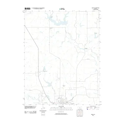
(17)- 1885 Map of Sedan, 1960 Print
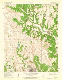
 1885 Sedan1960 Print · USGSSoutheast Kansas during the 1880s rail boom shows a landscape of emerging prairie towns and expanding iron rails. Genealogists and local historians can trace the early rail layouts of the Atchison Topeka and Santa Fe Railroad through Elk Falls and Longton, or find long-established rural centers like Wauneta and Boston.
 - 1889 Map of Sedan
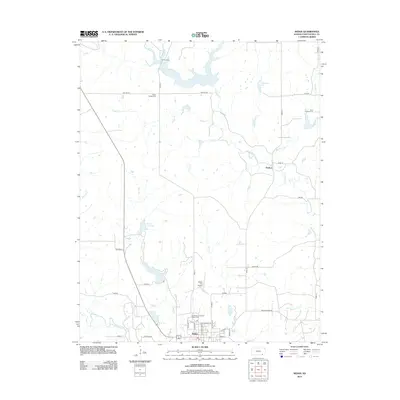
 1889 Sedan1889 Print · USGSSoutheastern Kansas in the late nineteenth century is captured here as the railroad era transformed the prairie. Researchers can trace early township developments and the paths of the Denver Memphis and Atlantic Railroad through towns like Sedan, Grenola, and Cedar Vale.4 unique versions available
 - 1955 Map of Wichita, 1959 Print
 1955 Wichita1959 Print · USGSSouth-central Kansas comes alive in the mid-1950s as Wichita grows into its role as a regional industrial and military powerhouse. Trace the rail-and-river network connecting El Dorado and Arkansas City through the Atchison Topeka and Santa Fe lines.3 unique versions available
 - 1958 Map of Wichita
 1958 Wichita1958 Print · USGSSouth Central Kansas in the late fifties was a landscape of aviation industry, oil exploration, and expanding turnpikes. Researchers can trace mid-century growth through McConnell Air Force Base, major facilities for Cessna Aircraft Company, and the active El Dorado Oil Field.
 - 1962 Map of Sedan, 1963 Print
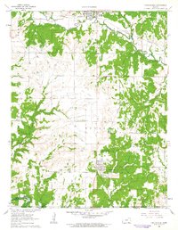
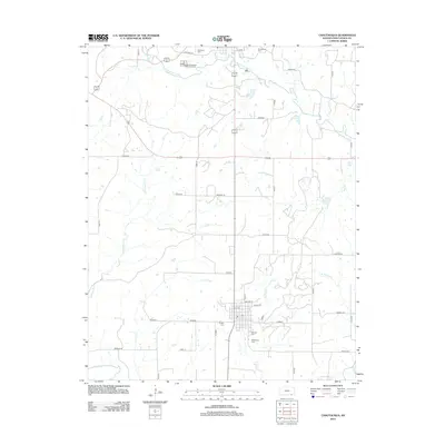
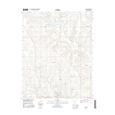
 1962 Sedan1963 Print · USGSChautauqua County’s rural character and industrial energy are captured in the early sixties as the oil economy shaped the prairie. Researchers can locate family landmarks like Union Chapel, St Charles Cem, and the old Missouri Pacific rail line.3 unique versions available
 - 1962 Map of Chautauqua, 1963 Print
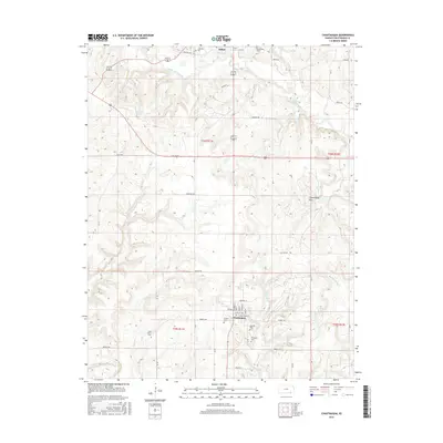
 1962 Chautauqua1963 Print · USGSThe Kansas-Oklahoma border region in the early sixties showcases a landscape shaped by petroleum extraction and new reservoirs. Genealogists and historians can locate several family burial grounds like Oak Grove Cem and trace the Old Indian Treaty Boundary.2 unique versions available
 - 1985 Map of Sedan
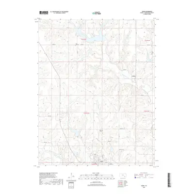
 1985 Sedan1985 Print · USGSSoutheast Kansas in the mid-1980s is defined by rail towns and prairie waterways along the Chautauqua and Cowley county lines. Researchers can trace the Atchison Topeka and Santa Fe line through Grenola or locate the Indian Treaty Boundary and Kaw State Wildlife Area.2 unique versions available
 - 2009 Map of Chautauqua, 2009 Print
 2009 Chautauqua2009 Print · USGSCovers Sedan, including Chautauqua, Chautauqua County, and other nearby areas
 - 2010 Map of Sedan, 2010 Print
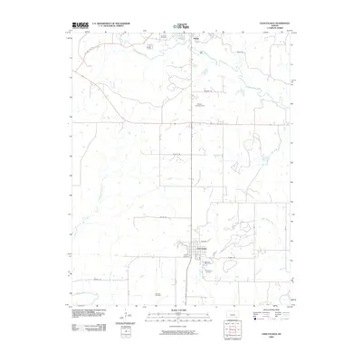
 2010 Sedan2010 Print · USGSCovers Sedan, including Grafton, Chautauqua County, and other nearby areas
 - 2012 Map of Sedan, 2012 Print
 2012 Sedan2012 Print · USGSCovers Sedan, including Grafton, Chautauqua County, and other nearby areas
 - 2012 Map of Chautauqua, 2012 Print
 2012 Chautauqua2012 Print · USGSCovers Sedan, including Chautauqua, Chautauqua County, and other nearby areas
 - 2015 Map of Chautauqua, 2015 Print
 2015 Chautauqua2015 Print · USGSCovers Sedan, including Chautauqua, Chautauqua County, and other nearby areas
 - 2015 Map of Sedan, 2015 Print
 2015 Sedan2015 Print · USGSCovers Sedan, including Grafton, Chautauqua County, and other nearby areas
 - 2018 Map of Chautauqua, 2018 Print
 2018 Chautauqua2018 Print · USGSCovers Sedan, including Chautauqua, Chautauqua County, and other nearby areas
 - 2018 Map of Sedan, 2018 Print
 2018 Sedan2018 Print · USGSCovers Sedan, including Grafton, Chautauqua County, and other nearby areas
 - 2022 Map of Sedan, 2022 Print
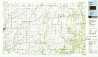
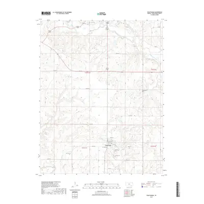
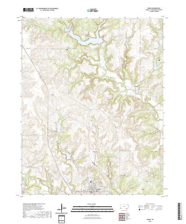 2022 Sedan2022 Print · USGSSoutheast Kansas at the start of the 2020s shows a landscape defined by its prairie creeks and the established seat of Sedan. Researchers can trace local history through the Chautauqua County Courthouse, Union Chapel Cem, and the settlement at Grafton.
 - 2022 Map of Chautauqua, 2022 Print
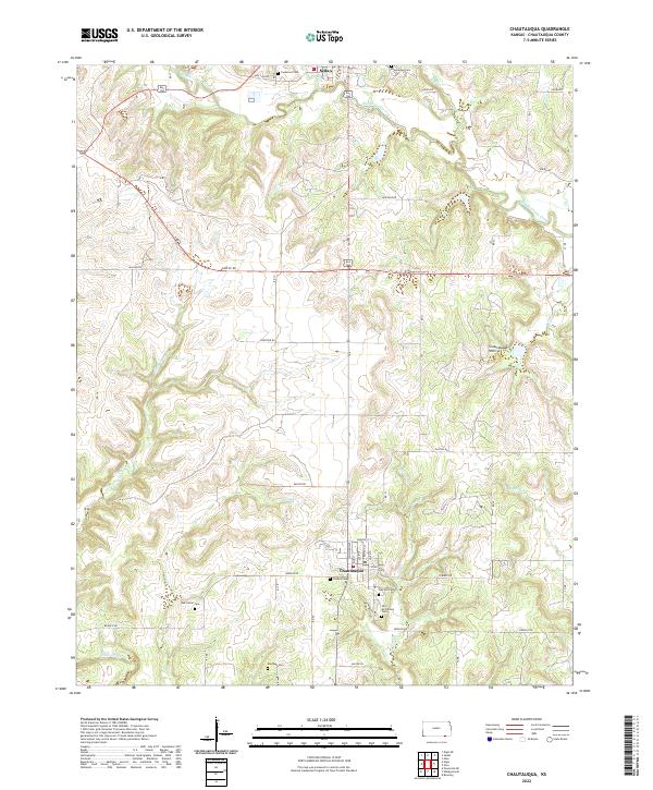 2022 Chautauqua2022 Print · USGSSoutheast Kansas at the turn of the 2020s shows a landscape deeply rooted in its early settlement patterns and topography. Genealogists and historians can trace numerous rural burial sites like Old McClarney Cem and Findley Cem near the town of Chautauqua.
End of results
Showing maps 1-17 of 17
Top cities near Sedan
- Peru historical maps
- Oak Valley historical maps
- Niotaze historical maps
- Chautauqua historical maps
- Elgin historical maps
Frequently asked questions
- What are the different types of historical maps available for Sedan?
- What is the oldest map of Sedan?
- Where can I purchase historical maps of Sedan for my home or office?
- Where can I download high-res historical maps of Sedan?
- Are there historical topographic maps available for Sedan?
- Is there historical aerial imagery available for Sedan?
- Where are historical maps of Sedan sourced from?