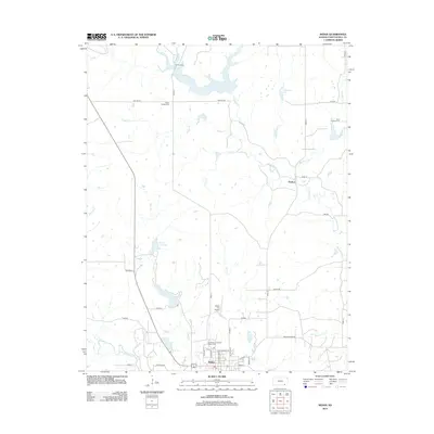
2012 Map of Sedan
USGS Topo · Published 2012About this map
Sedan serves as the primary hub in this portion of Chautauqua County, situated along the banks of Middle Caney Cr at the junction of several local routes. The town’s layout includes the Chautauqua County Fairgrounds and the Sedan City Airport, reflecting its role as a regional center for both commerce and community events. To the north, the landscape is defined by the winding paths of N Caney Cr and Bachelor Cr, which pass near the small settlement of Grafton.
Find a feature on this map
38 named features on this map. Tap any name to fly to it.
Don’t see what you’re looking for? This feature index may not catch every label — zoom into the map to look around manually.
Map Details
Editions of this 2012 Sedan Map
This is the sole edition of this map. No revisions or reprints were ever made.
Other maps of this area

1885 · Sedan
USGS Topo · 1:125,000

1889 · Sedan
USGS Topo · 1:125,000

1955 · Wichita
USGS Topo · 1:250,000

1958 · Wichita
USGS Topo · 1:250,000
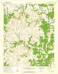
1962 · Oak Valley
USGS Topo · 1:24,000

1962 · Moline
USGS Topo · 1:24,000
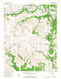
1962 · Elk Falls
USGS Topo · 1:24,000

1962 · Sedan
USGS Topo · 1:24,000

1962 · Elgin NE
USGS Topo · 1:24,000
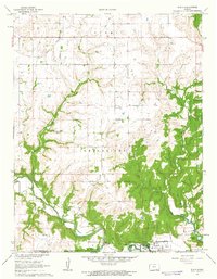
1962 · Elgin
USGS Topo · 1:24,000