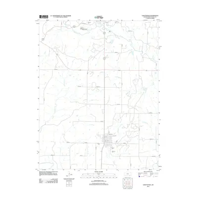
2012 Map of Chautauqua
USGS Topo · Published 2012About this map
Sedan serves as the central hub of this Chautauqua County landscape, where the local street grid including Woolsey St and Marion St meets the branching waters of Turkey Creek. The map reveals a high density of small family and community burial grounds, such as Oak Hill Cem, Findley Cem, and McClarney Cem, providing significant touchpoints for genealogical research in the area.
Find a feature on this map
41 named features on this map. Tap any name to fly to it.
Don’t see what you’re looking for? This feature index may not catch every label — zoom into the map to look around manually.
Map Details
Editions of this 2012 Chautauqua Map
This is the sole edition of this map. No revisions or reprints were ever made.
Other maps of this area

1885 · Sedan
USGS Topo · 1:125,000

1889 · Sedan
USGS Topo · 1:125,000

1909 · Pawhuska
USGS Topo · 1:125,000

1910 · Pawhuska
USGS Topo · 1:125,000

1955 · Wichita
USGS Topo · 1:250,000

1955 · Enid
USGS Topo · 1:250,000

1958 · Enid
USGS Topo · 1:250,000

1958 · Wichita
USGS Topo · 1:250,000

1962 · Sedan
USGS Topo · 1:24,000

1962 · Elgin NE
USGS Topo · 1:24,000