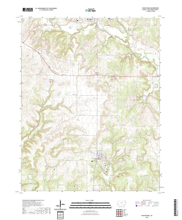
2022 Map of Chautauqua
USGS Topo · Published 2022About this map
Chautauqua Hills define the rolling topography of this Kansas landscape, where the settlements of Chautauqua and Sedan anchor a network of rural roads and drainage basins. The area is marked by a high density of small family or community burial grounds, providing significant data for genealogical research. Locations like Old McClarney Cem, Oak Hill Cem, and Findley Cem are preserved alongside the winding courses of Middle Caney Creek and Little Cedar Cr. This 2022 survey details the modern layout of sections and townships, specifically T34S R11E and T35S R11E, illustrating how historical property lines continue to shape the contemporary landscape. The map captures the meeting of agricultural land and the distinct breaks of the hills, traced by routes such as Frontier Rd and Gallop Rd.
Find a feature on this map
41 named features on this map. Tap any name to fly to it.
Don’t see what you’re looking for? This feature index may not catch every label — zoom into the map to look around manually.
Map Details
Editions of this 2022 Chautauqua Map
This is the sole edition of this map. No revisions or reprints were ever made.
Other maps of this area

1885 · Sedan
USGS Topo · 1:125,000

1889 · Sedan
USGS Topo · 1:125,000

1909 · Pawhuska
USGS Topo · 1:125,000

1910 · Pawhuska
USGS Topo · 1:125,000

1955 · Wichita
USGS Topo · 1:250,000

1955 · Enid
USGS Topo · 1:250,000

1958 · Enid
USGS Topo · 1:250,000

1958 · Wichita
USGS Topo · 1:250,000

1962 · Sedan
USGS Topo · 1:24,000

1962 · Elgin NE
USGS Topo · 1:24,000