2020s Maps of Gove County, Kansas
Explore 30 historic maps of Gove County from the 2020s. These maps offer a rare glimpse into what life looked like during the 2020s — showing old roads, neighborhoods, homes, and landmarks that have changed or disappeared over time.
Whether you're researching your family's past, planning a metal detecting trip, or studying how Gove County's landscape evolved across the 2020s, these high-resolution maps are a powerful tool for exploring the history of this region.
- Focus on a specific era: All maps on this page are from the 2020s, giving you a focused view of this time period.
- See what’s changed: Compare century-old streets, trails, and buildings to today's modern landscape using overlays and satellite layers.
- Research with precision: Use these maps for genealogy, historical research, land use analysis, or educational projects.
- View, download, or print: Maps are fully viewable online in high resolution, and can be downloaded or printed for your own records.
Start exploring Gove County's history through authentic maps from the 2020s. This is your window into the past.
Gove County, KS maps
(30)- 2022 Map of Grinnell South, 2022 Print
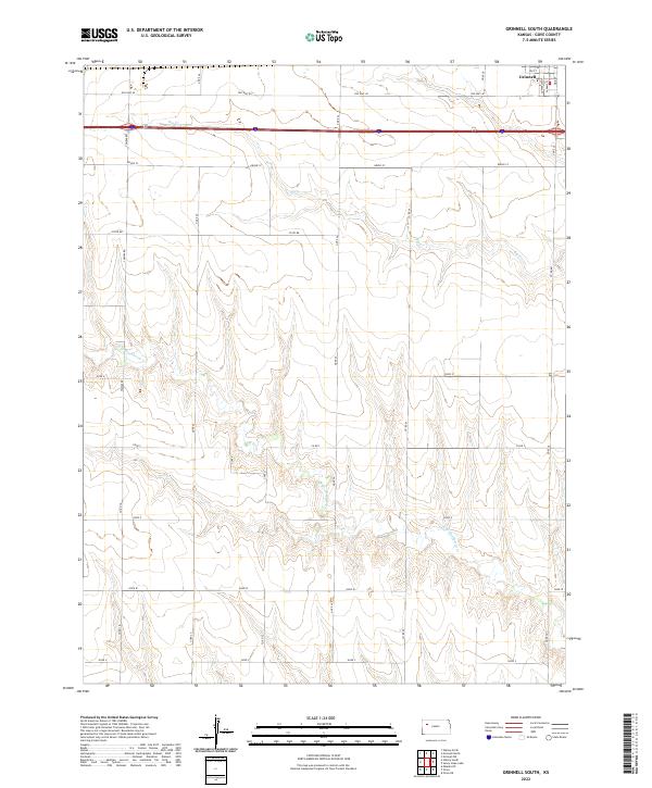 2022 Grinnell South2022 Print · USGSThe southern outskirts of Grinnell are captured here in the early twenty-first century, showing the transition from town streets to open plains. Researchers can trace land ownership patterns along Campas Rd or follow the drainage of Big Cr and N Br Hackberry Cr.
 - 2022 Map of Grainfield, 2022 Print
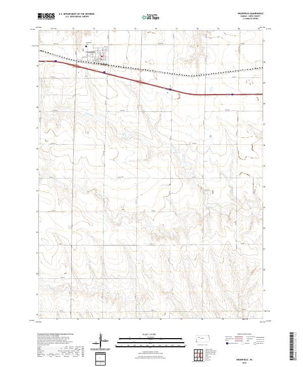 2022 Grainfield2022 Print · USGSThe town of Grainfield stands as a High Plains hub in the early twenty-first century, anchored by its historic street grid and rail-adjacent corridor. Researchers can trace the local landscape from Main St down to the winding paths of N Fork Big Cr and Big Cr.
 - 2022 Map of Quinter, 2022 Print
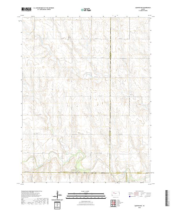
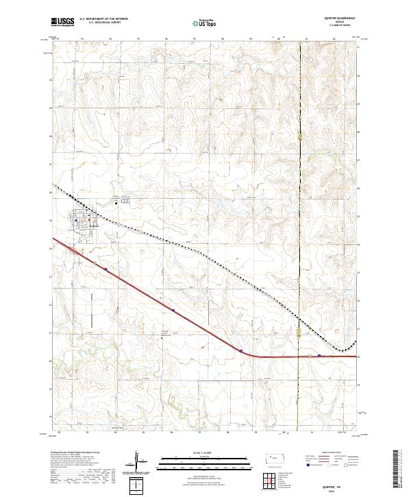 2022 Quinter2022 Print · USGSQuinter and the surrounding Gove County plains are shown here in the 2020s, highlighting the area's agricultural grid and historic road networks. Genealogists can locate family landmarks like Baker Township Cem and the Old Order German Baptist Cem along the drainage of Big Creek.
 - 2022 Map of Grinnell NE, 2022 Print
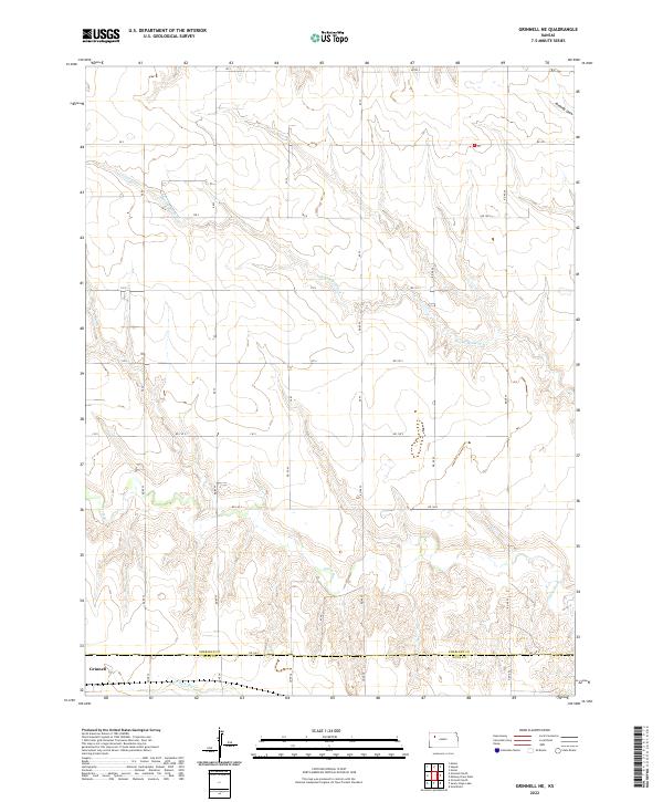 2022 Grinnell NE2022 Print · USGSSheridan County agricultural lands meet the Gove County line in this modern study of the Kansas high plains. Genealogists and local historians can trace property boundaries along the Saline River and locate the northeastern reaches of Grinnell near N Fork Big Cr.
 - 2022 Map of Midway Draw East, 2022 Print
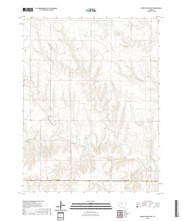 2022 Midway Draw East2022 Print · USGSThe Sheridan and Gove County line crosses a landscape of deep prairie drainages in the early twenty-first century. Researchers can trace the rugged topography of Midway Draw, the winding Saline River, and the local road network from Rd 90 S to Rd 140 S.
 - 2022 Map of Park, 2022 Print
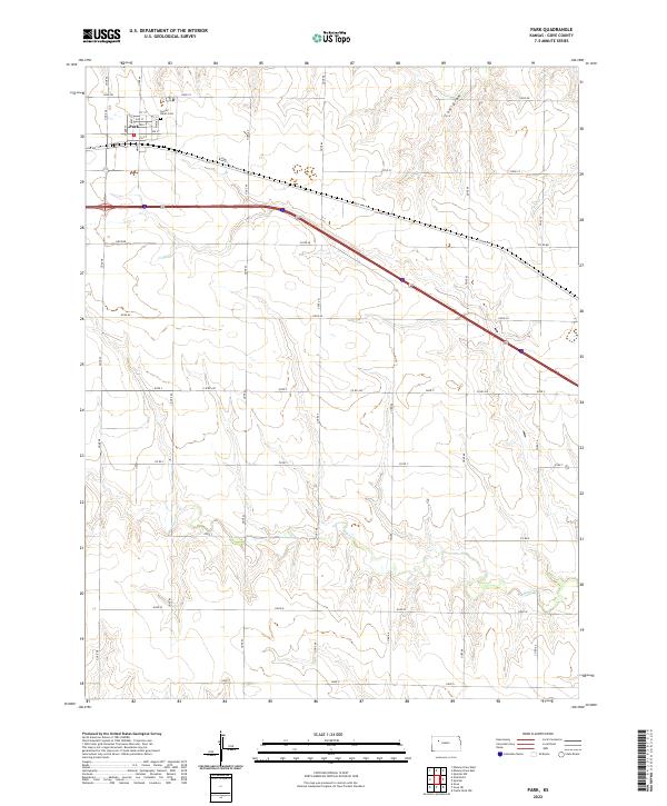 2022 Park2022 Print · USGSGove County, Kansas, is captured here in the early 2020s, showing the settled grid of the high plains. Genealogists and local historians can trace the streets of Park, locate the Sacred Heart Cem, and follow the path of Old Hwy 40 as it crosses the waters of Big Cr.
 - 2022 Map of Midway Draw West, 2022 Print
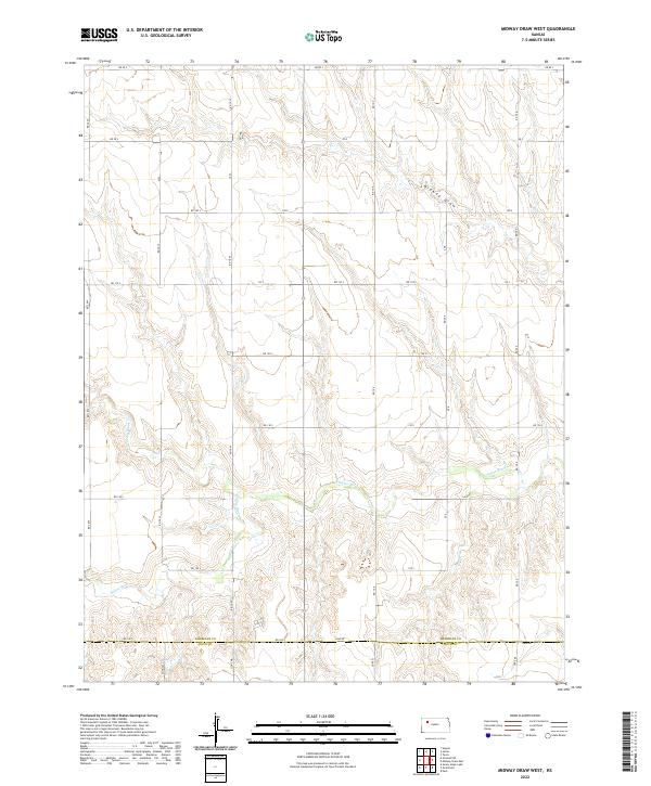 2022 Midway Draw West2022 Print · USGSWestern Kansas rangeland and the Saline River corridor are mapped here as they appeared in the early twenty-first century. Genealogists and local historians can trace the precise boundary of Sheridan and Gove counties and the paths of Midway Draw and Spring Brook Cr.
 - 2022 Map of Grinnell North, 2022 Print
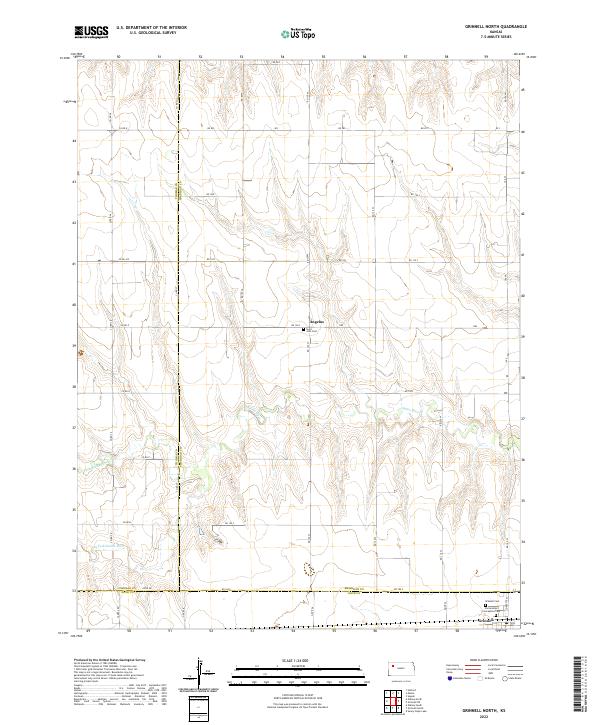 2022 Grinnell North2022 Print · USGSSheridan County and the surrounding high plains are captured here in the early 2020s, showing a landscape of rural homesteads and vast prairie drainages. Researchers can trace family history at Saint John Cem near Angelus or follow the forks of the Saline River.
 - 2022 Map of Quinter NW, 2022 Print
 2022 Quinter NW2022 Print · USGSSheridan and Graham counties are captured here in the early twenty-first century, showcasing a landscape defined by the Saline River watershed. Genealogists and local historians can locate the Bethel Christian Cem and trace seasonal waterways like Turner Draw and Plum Cr.
 - 2022 Map of Oakley South, 2022 Print
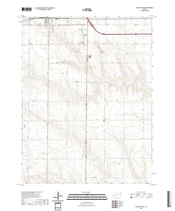 2022 Oakley South2022 Print · USGSThe northern reaches of Logan and Gove Counties come into focus in the 2020s, centered on the agricultural plains south of Oakley. Researchers can trace old routes like Old Hwy 40 and locate genealogy sites such as the Zion Norwegian Cem near the fork of N Br Hackberry Cr.
 - 2022 Map of Oakley North, 2022 Print
 2022 Oakley North2022 Print · USGSThe High Plains of western Kansas are surveyed here in the early twenty-first century, centered on the tri-county junction of Thomas, Logan, and Gove. Local researchers can map the streets of Oakley or locate historic sites like Oakley Cem and Saint Joseph Cem.
 - 2022 Map of Sunny Slope Lake, 2022 Print
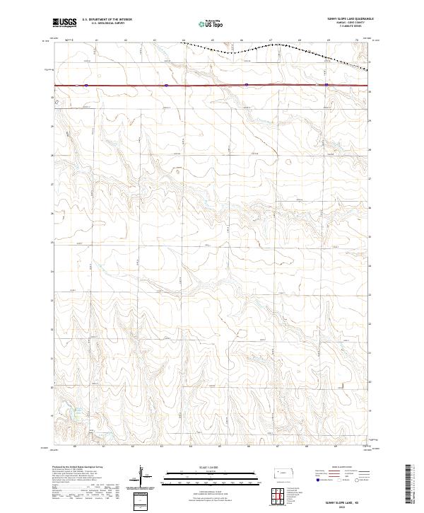 2022 Sunny Slope Lake2022 Print · USGSGove County in the 2020s remains a landscape of deep creek draws and expansive prairie sections. Trace the path of Old Hwy 40 across the northern plains or follow the drainages of Sunny Slope Lake and N Fork Big Cr.
 - 2022 Map of Cheyenne Creek, 2022 Print
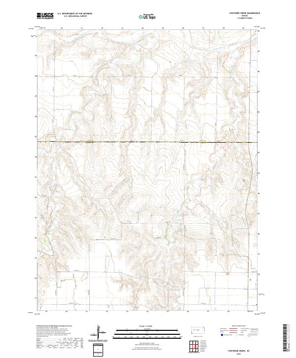 2022 Cheyenne Creek2022 Print · USGSThe High Plains border of Gove and Lane Counties is captured here in the early twenty-first century, centered on the Smoky Hill River valley. Researchers can trace the drainage of Salt Cr and Cheyenne Cr across the section lines of T16S R29W.
 - 2022 Map of Lake Scott NE, 2022 Print
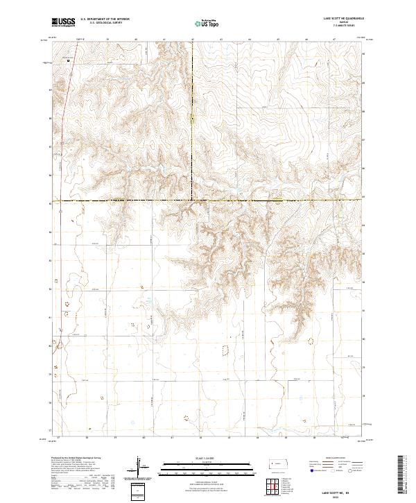 2022 Lake Scott NE2022 Print · USGSThe High Plains at the intersection of Logan, Gove, and Scott counties are captured here in the early twenty-first century. Genealogists and local historians can locate Keystone Cem, trace the drainage of Hell Cr, and identify the area around Big Springs.
 - 2022 Map of Gove, 2022 Print
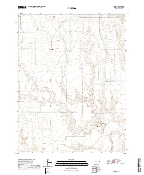
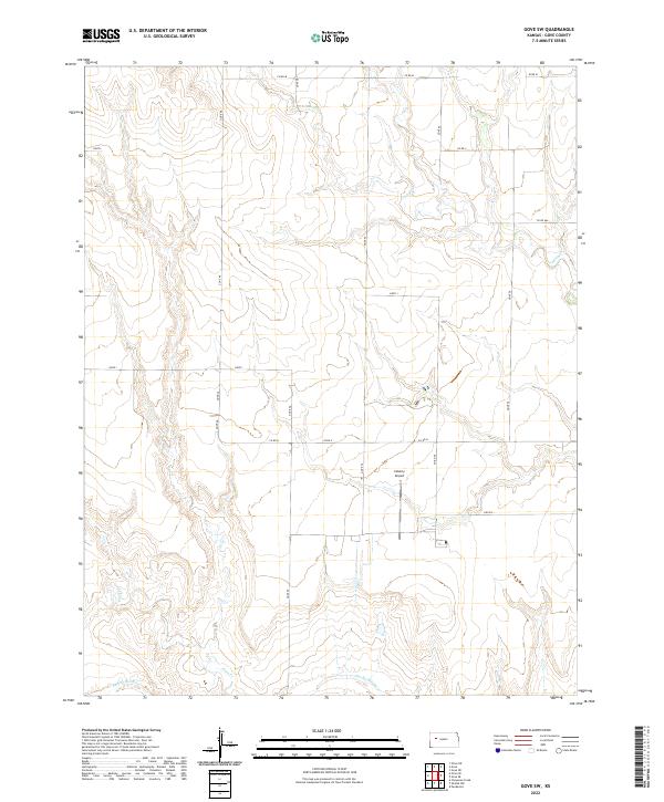
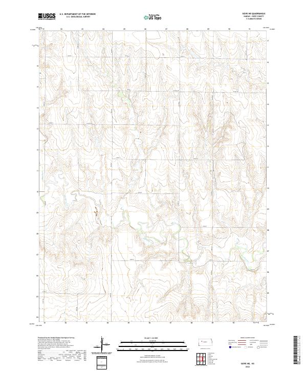
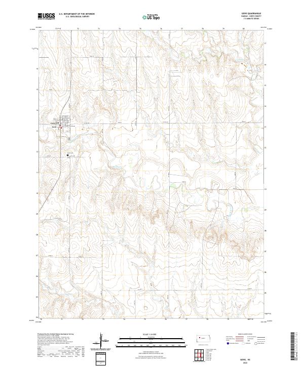 2022 Gove2022 Print · USGSGove City and the surrounding high plains are captured here in the early twenty-first century. Researchers can trace the town's small grid and find the Gove County Courthouse or follow the paths of Hackberry Cr and Indian Cr.
 - 2022 Map of Utica, 2022 Print
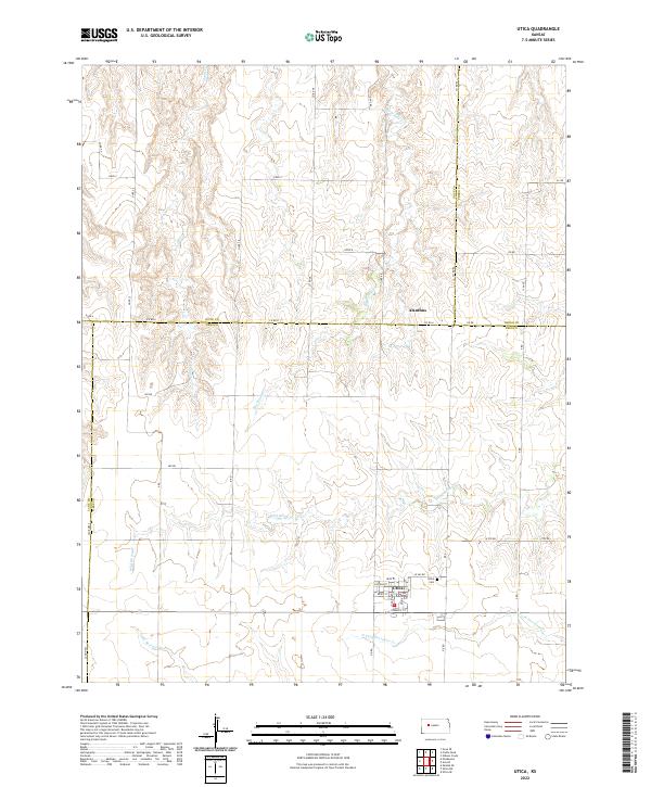 2022 Utica2022 Print · USGSWestern Kansas ranching and farming communities are documented here in the modern era, centered on the town of Utica. Researchers can trace local street grids, find the Utica Cem, and follow drainages like Big Windy Cr and Wild Horse Cr.
 - 2022 Map of Orion SW, 2022 Print
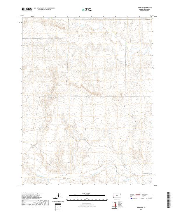 2022 Orion SW2022 Print · USGSGove County, Kansas, is documented in this recent survey, showcasing the rural landscape as it appears today. Genealogists and local historians can trace the paths of the Smoky Hill River and Plum Cr alongside rural routes like Co Rd 22.
 - 2022 Map of Elkader NE, 2022 Print
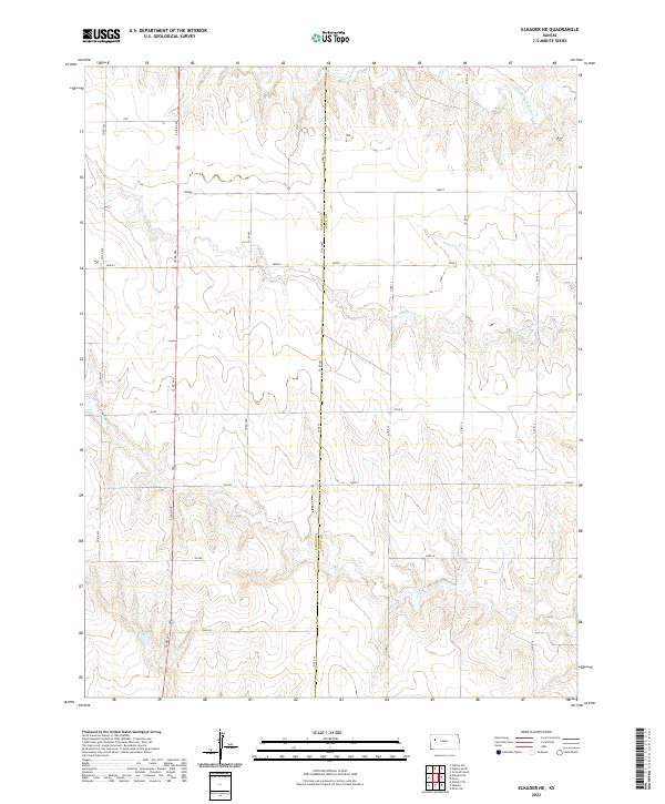 2022 Elkader NE2022 Print · USGSThe Logan and Gove county line in Western Kansas is captured here in the early twenty-first century, showing a high-plains landscape defined by branching creek systems. Trace the winding paths of S Br Hackberry Cr and Plum Cr or the section divisions labeled Osage and Navajo.
 - 2022 Map of Castle Rock, 2022 Print
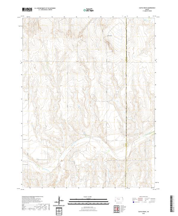 2022 Castle Rock2022 Print · USGSEastern Gove County at the dawn of the 2020s remains a landscape of open plains and dramatic river breaks. Researchers can trace the path of the Smoky Hill River and locate the iconic Castle Rock formation among the drainages of Big Windy Cr.
 - 2022 Map of Gove SE, 2022 Print
 2022 Gove SE2022 Print · USGSThe Smoky Hill River valley defines this Gove County landscape as it appeared in the early 2020s. Genealogists and local historians can locate rural burial sites at Morning Star Cem and Alanthus Cem or trace the path of Indian Cr.
 - 2022 Map of Gove SW, 2022 Print
 2022 Gove SW2022 Print · USGSGove County, Kansas, is captured in this modern survey of the High Plains just south of the county seat. Researchers can trace the path of the Smoky Hill River and identify local landmarks like the Coberly Airport and the winding Plum Cr.
 - 2022 Map of Orion NE, 2022 Print
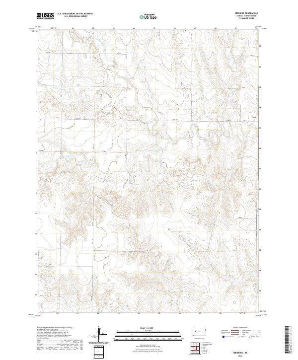 2022 Orion NE2022 Print · USGSGove County's high plains landscape is captured in the early twenty-first century, showing the intricate drainage of the Hackberry Cr watershed. Researchers can trace the paths of Middle Br Hackberry Cr and Indian Cr across the rural section line roads.
 - 2022 Map of Healy NW, 2022 Print
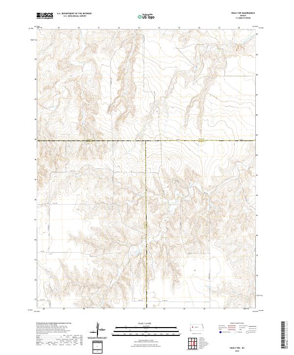 2022 Healy NW2022 Print · USGSWestern Kansas rangeland at the tri-county border of Gove, Scott, and Lane is mapped here in fine detail. Researchers can trace the drainage of Hell Cr and the Smoky Hill River or locate property lines along N Willow Rd.
 - 2022 Map of Shields NW, 2022 Print
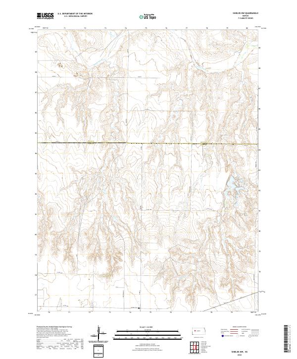 2022 Shields NW2022 Print · USGSThe High Plains of western Kansas come into focus in this modern survey of the Lane and Gove county line. Researchers can trace land tracts along the Smoky Hill River or locate family roots at the Shields Cem near Laredo.
 - 2022 Map of Gove NE, 2022 Print
 2022 Gove NE2022 Print · USGSGove County, Kansas, is seen here in the early twenty-first century, showcasing a rural landscape defined by its agricultural grid and intermittent prairie streams. Genealogists and local historians can trace specific section lines and travel routes like Gove U and Hackberry Cr.
Showing maps 1-25 of 30
Top cities of Gove County
Frequently asked questions
- What are the different types of historical maps available for Gove County?
- What is the oldest map of Gove County?
- Where can I purchase historical maps of Gove County for my home or office?
- Where can I download high-res historical maps of Gove County?
- Are there historical topographic maps available for Gove County?
- Is there historical aerial imagery available for Gove County?
- Where are historical maps of Gove County sourced from?