Old Maps of Kiowa County, Kansas
Explore 26 old maps of Kiowa County, spanning from 1889 to today. These high-resolution historic maps reveal how streets, neighborhoods, landmarks, and natural features evolved over time — perfect for genealogy, metal detecting, research, and local history exploration.
What you can do with these maps:
- See how Kiowa County changed over time: Compare historical maps to modern-day views to trace roads, homesites, rail lines & more.
- View detailed metadata: Each map includes creators, publishers, year, scale, and archive source.
- Overlay maps with satellite & LiDAR: Visualize the past alongside modern tools to explore terrain & human change.
- Trusted historical sources: Maps sourced from the USGS, Library of Congress, and other archives.
- Access maps your way: View online, download high-res files, or order prints for personal or research use.
Start exploring old maps of Kiowa County to uncover forgotten places, hidden landmarks, and the deep history beneath your feet.
Kiowa County, KS maps
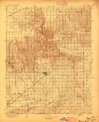
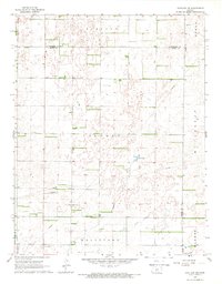
(26)- 1889 Map of Kinsley, 1962 Print
 1889 Kinsley1962 Print · USGSCovers Kiowa County, including Kinsley, Greensburg, and other nearby areas
 - 1892 Map of Kinsley
 1892 Kinsley1892 Print · USGSCovers Kiowa County, including Kinsley, Greensburg, and other nearby areas
 - 1892 Map of Spearville
 1892 Spearville1892 Print · USGSCovers Kiowa County, including Dodge City, Spearville, and other nearby areas
 - 1892 Map of Coldwater
 1892 Coldwater1892 Print · USGSCovers Kiowa County, including Coldwater, Protection, and other nearby areas5 unique versions available
 - 1894 Map of Spearville
 1894 Spearville1894 Print · USGSCovers Kiowa County, including Dodge City, Spearville, and other nearby areas4 unique versions available
 - 1894 Map of Kinsley
 1894 Kinsley1894 Print · USGSCovers Kiowa County, including Kinsley, Greensburg, and other nearby areas8 unique versions available
 - 1896 Map of Ashland
 1896 Ashland1896 Print · USGSCovers Kiowa County, including Ashland, Bloom, and other nearby areas3 unique versions available
 - 1955 Map of Pratt, 1968 Print
 1955 Pratt1968 Print · USGSCovers Kiowa County, including Dodge City, Pratt, and other nearby areas3 unique versions available
 - 1959 Map of Pratt
 1959 Pratt1959 Print · USGSCovers Kiowa County, including Dodge City, Pratt, and other nearby areas2 unique versions available
 - 1968 Map of Haviland NW, 1970 Print
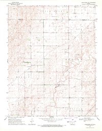
 1968 Haviland NW1970 Print · USGSCovers Kiowa County, including Kiowa Rural Township, Edwards County, and other nearby areas2 unique versions available
 - 1968 Map of Belvidere, 1970 Print
 1968 Belvidere1970 Print · USGSCovers Kiowa County, including Kiowa Rural Township, Belvidere, and other nearby areas
 - 1968 Map of Haviland, 1970 Print
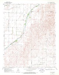
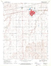
 1968 Haviland1970 Print · USGSCovers Kiowa County, including Haviland, Kiowa Rural Township, and other nearby areas
 - 1968 Map of Haviland NE, 1970 Print
 1968 Haviland NE1970 Print · USGSCovers Kiowa County, including Kiowa Rural Township, Pratt County, and other nearby areas2 unique versions available
 - 1968 Map of Brenham, 1970 Print
 1968 Brenham1970 Print · USGSCovers Kiowa County, including Kiowa Rural Township, Brenham, and other nearby areas
 - 1969 Map of Bucklin NE, 1971 Print
 1969 Bucklin NE1971 Print · USGSCovers Kiowa County, including Kiowa Rural Township, Ford County, and other nearby areas
 - 1969 Map of Bucklin SE, 1971 Print
 1969 Bucklin SE1971 Print · USGSCovers Kiowa County, including Bucklin, Kiowa Rural Township, and other nearby areas
 - 1969 Map of Greensburg NW, 1971 Print
 1969 Greensburg NW1971 Print · USGSCovers Kiowa County, including Kiowa Rural Township, Edwards County, and other nearby areas2 unique versions available
 - 1969 Map of Greensburg, 1971 Print
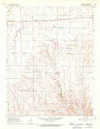
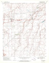
 1969 Greensburg1971 Print · USGSCovers Kiowa County, including Greensburg, Kiowa Rural Township, and other nearby areas
 - 1969 Map of Mullinville, 1971 Print
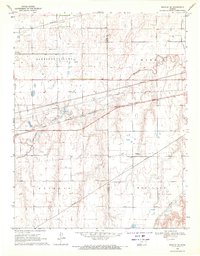
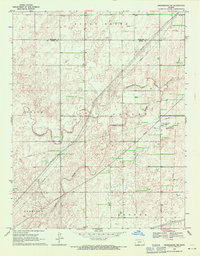
 1969 Mullinville1971 Print · USGSCovers Kiowa County, including Mullinville, Kiowa Rural Township, and other nearby areas
 - 1969 Map of Greensburg NE, 1971 Print
 1969 Greensburg NE1971 Print · USGSCovers Kiowa County, including Kiowa Rural Township, Edwards County, and other nearby areas2 unique versions available
 - 1979 Map of Turkey Creek, 1980 Print
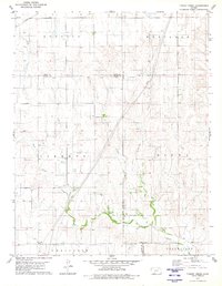 1979 Turkey Creek1980 Print · USGSCovers Kiowa County, including Kiowa Rural Township, Ford County, and other nearby areas
 - 1979 Map of East Kiowa Creek North, 1980 Print
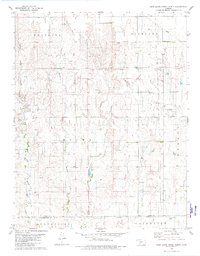 1979 East Kiowa Creek North1980 Print · USGSCovers Kiowa County, including Kiowa Rural Township, Comanche County, and other nearby areas
 - 1980 Map of Coldwater NE
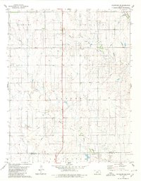 1980 Coldwater NE1980 Print · USGSCovers Kiowa County, including Kiowa Rural Township, Comanche County, and other nearby areas
 - 1980 Map of Iron Mountain
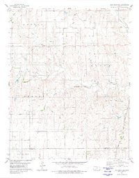 1980 Iron Mountain1980 Print · USGSCovers Kiowa County, including Kiowa Rural Township, Comanche County, and other nearby areas
 - 1985 Map of Kinsley
 1985 Kinsley1985 Print · USGSCovers Kiowa County, including Dodge City, Kinsley, and other nearby areas2 unique versions available
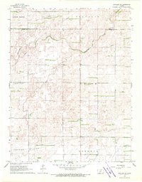
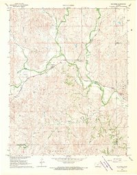
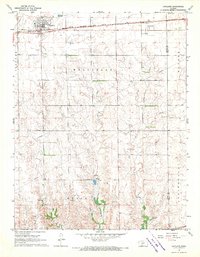
Showing maps 1-25 of 26
Frequently asked questions
- What are the different types of historical maps available for Kiowa County?
- What is the oldest map of Kiowa County?
- Where can I purchase historical maps of Kiowa County for my home or office?
- Where can I download high-res historical maps of Kiowa County?
- Are there historical topographic maps available for Kiowa County?
- Is there historical aerial imagery available for Kiowa County?
- Where are historical maps of Kiowa County sourced from?