
1892 Map of Coldwater
USGS Topo · Published 1892About this map
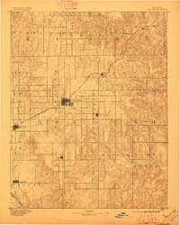
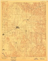
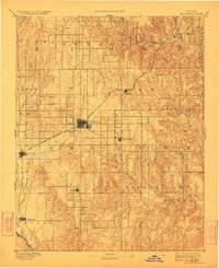
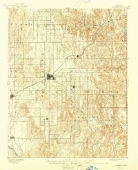
Coldwater and its surrounding prairie landscapes are defined here just as the frontier period was closing in south-central Kansas. The Atchison Topeka and Santa Fe R. R. cuts a diagonal path through the northwest, serving as the primary artery for cattle and grain transport. Smaller hubs like Nescatunga and Protection appear as established grid-planned townships, while southern settlements like Avilla and Evansville highlight the early spread of homesteaders across the High Plains.
Find a feature on this map
30 named features on this map. Tap any name to fly to it.
Don’t see what you’re looking for? This feature index may not catch every label — zoom into the map to look around manually.
Map Details
Editions of this 1892 Coldwater Map
5 editions found
Other maps of this area

1889 · Kinsley
USGS Topo · 1:125,000

1891 · Medicine Lodge
USGS Topo · 1:125,000

1892 · Kinsley
USGS Topo · 1:125,000

1892 · Spearville
USGS Topo · 1:125,000

1892 · Pratt
USGS Topo · 1:125,000

1893 · Medicine Lodge
USGS Topo · 1:125,000

1894 · Spearville
USGS Topo · 1:125,000

1894 · Kinsley
USGS Topo · 1:125,000

1894 · Pratt
USGS Topo · 1:125,000

1894 · Sitka
USGS Topo · 1:62,500