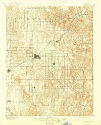
1892 Map of Coldwater
USGS Topo · Published 1945About this map
Coldwater and the surrounding plains of Comanche County appear here during a period of early settlement along the southwestern Kansas frontier. The Atchison Topeka and Santa Fe R. R. cuts diagonally through the landscape, providing the critical connection to the outside world for ranching and farming communities. This rail line links the larger hub of Coldwater with smaller outposts like Wilmore and Belvidere.
Find a feature on this map
29 named features on this map. Tap any name to fly to it.
Don’t see what you’re looking for? This feature index may not catch every label — zoom into the map to look around manually.
Map Details
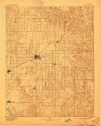
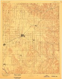
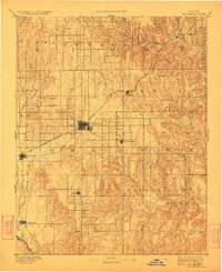
Editions of this 1892 Coldwater Map
5 editions found
Other maps of this area

1889 · Kinsley
USGS Topo · 1:125,000

1891 · Medicine Lodge
USGS Topo · 1:125,000

1892 · Kinsley
USGS Topo · 1:125,000

1892 · Spearville
USGS Topo · 1:125,000

1892 · Coldwater
USGS Topo · 1:125,000

1892 · Pratt
USGS Topo · 1:125,000

1893 · Medicine Lodge
USGS Topo · 1:125,000

1894 · Spearville
USGS Topo · 1:125,000

1894 · Kinsley
USGS Topo · 1:125,000

1894 · Pratt
USGS Topo · 1:125,000