2000-2009 Maps of McPherson County, Kansas
Explore 18 historic maps of McPherson County from 2000-2009. These maps offer a rare glimpse into what life looked like during the 2000s — showing old roads, neighborhoods, homes, and landmarks that have changed or disappeared over time.
Whether you're researching your family's past, planning a metal detecting trip, or studying how McPherson County's landscape evolved across the 2000s, these high-resolution maps are a powerful tool for exploring the history of this region.
- Focus on a specific era: All maps on this page are from the 2000s, giving you a focused view of this time period.
- See what’s changed: Compare century-old streets, trails, and buildings to today's modern landscape using overlays and satellite layers.
- Research with precision: Use these maps for genealogy, historical research, land use analysis, or educational projects.
- View, download, or print: Maps are fully viewable online in high resolution, and can be downloaded or printed for your own records.
Start exploring McPherson County's history through authentic maps from the 2000s. This is your window into the past.
McPherson County, KS maps
(18)- 2009 Map of Canton SW, 2009 Print
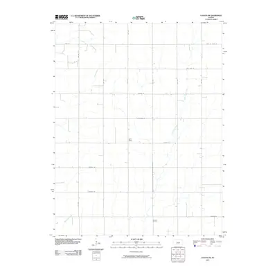 2009 Canton SW2009 Print · USGSMcPherson County agricultural lands and oil fields are captured here in the first decade of the 2000s. Researchers can locate the Meridian Cemetery or trace the drainage of Sand Creek and West Emma Creek through the section grid.
 - 2009 Map of Waldeck, 2009 Print
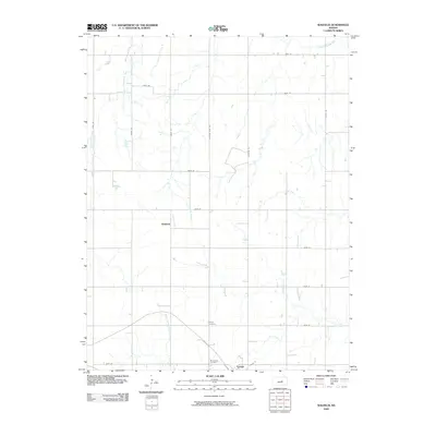 2009 Waldeck2009 Print · USGSMarion County at the turn of the century shows a landscape of established farmsteads and rural cemeteries near Lehigh. Genealogists and local historians can trace family roots at the Mennonite Cemetery or explore the route of the historic Chisholm Trail Rd.
 - 2009 Map of Gypsum SE, 2009 Print
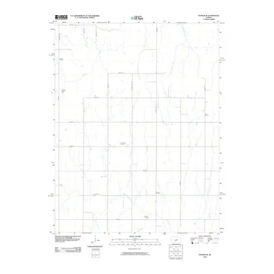 2009 Gypsum SE2009 Print · USGSSaline County at the close of the first decade of the 2000s remains a landscape of traditional agriculture and petroleum extraction. Researchers can trace family history through several burial sites like Friedenstal Cemetery and follow the path of Chisholm Trail Rd.
 - 2009 Map of Lindsborg SE, 2009 Print
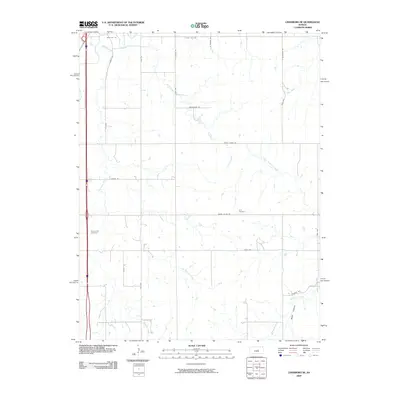 2009 Lindsborg SE2009 Print · USGSSaline County agricultural lands are captured here at the start of the twenty-first century. Genealogists can locate family sites near Zion Cemetery or Smoky Hill Cemetery and trace the many branches of Kentucky Creek and North Gypsum Creek.
 - 2009 Map of Windom NE, 2009 Print
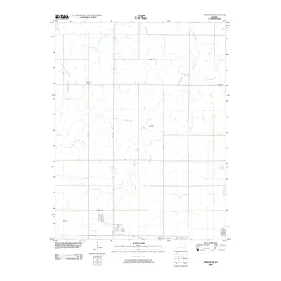 2009 Windom NE2009 Print · USGSMcPherson County agricultural lands at the start of the new millennium are meticulously detailed here. Researchers can locate and map rural heritage sites including Excelsior Cemetery, Fairview Cemetery, and the upper reaches of Sharps Creek.
 - 2009 Map of Moundridge, 2009 Print
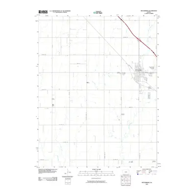 2009 Moundridge2009 Print · USGSThe Kansas prairie near Moundridge appears here in the early twenty-first century as a landscape of grid-patterned agriculture and active energy production. Researchers can locate family heritage sites like Mound Cemetery and Schlender Cemetery or trace the drainage of Black Kettle Creek.
 - 2009 Map of Windom SW, 2009 Print
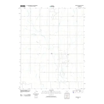 2009 Windom SW2009 Print · USGSCentral Kansas remains a landscape defined by its waterways and oil extraction at the end of the decade. Genealogists and local researchers can trace family roots at Andover Cemetery or follow the path of the Little Arkansas River near the Welch- Bornholdt Oil Field.
 - 2009 Map of McPherson South, 2009 Print
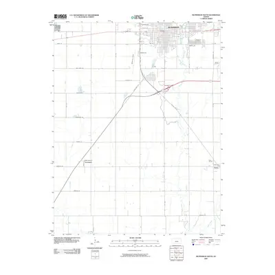 2009 McPherson South2009 Print · USGSMcPherson County at the close of the first decade of the 2000s shows a landscape defined by prairie agriculture and energy production. Researchers can trace the layout of McPherson or locate rural landmarks like Groveland, the Johnson Oil Field, and the McPherson Cemetery.
 - 2009 Map of Windom, 2009 Print
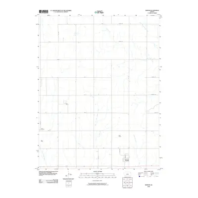 2009 Windom2009 Print · USGSWindom and the surrounding McPherson County plains are documented here at the turn of the millennium. Genealogists and local historians can trace the grid of country roads to Bean Cemetery, the Rellim Oil Field, and the banks of the Little Arkansas River.
 - 2009 Map of Buhler, 2009 Print
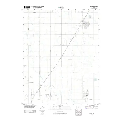 2009 Buhler2009 Print · USGSReno County's agricultural heartland is documented here in the late 2000s, centered on the growing communities of Inman and Buhler. Researchers can trace the path of the Little Arkansas River or locate family sites at Inman South Cemetery and Evergreen Cemetery.
 - 2009 Map of McPherson SE, 2009 Print
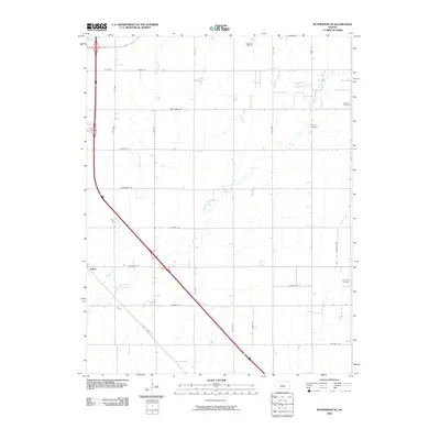 2009 McPherson SE2009 Print · USGSSoutheast Kansas at the end of the 2000s shows a deeply ordered rural landscape shaped by long-standing farming traditions. Genealogists can pin-point historic burial sites like Dunkard Cemetery and Lone Tree Cemetery or trace the area around the settlement of Elyria.
 - 2009 Map of Hutchinson NW, 2009 Print
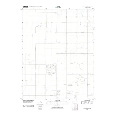 2009 Hutchinson NW2009 Print · USGSNorthwest of the city center in the early 2000s, this area of Reno County demonstrates the shift from prairie farming to suburban growth. Researchers can trace modern developments like Rolling Dunes Rd and the leisure-focused streets around Country Club Dr near the Little Arkansas River.
 - 2009 Map of Halstead NW, 2009 Print
 2009 Halstead NW2009 Print · USGSThe Reno County plains in the early 2000s reveal a landscape of disciplined section-line farming and persistent local heritage. Researchers can locate family landmarks such as Harvey Cemetery, Hebron Cemetery, and the Hollow Nikkel Oil Field.
 - 2009 Map of Conway, 2009 Print
 2009 Conway2009 Print · USGSMcPherson County agricultural life and transportation routes are mapped in detail during the early twenty-first century. Researchers can locate the Amish Cemetery and trace the paths of Blaze Fork and historic thoroughfares like Chisholm Rd.
 - 2009 Map of McPherson North, 2009 Print
 2009 McPherson North2009 Print · USGSMcPherson County at the turn of the millennium shows the intersection of growing residential neighborhoods and a deeply rooted rural landscape. Researchers can trace the town’s northern expansion along N Main St and find local landmarks like Johnstown and Crestwood Memorial Park.
 - 2009 Map of Marquette, 2009 Print
 2009 Marquette2009 Print · USGSMarquette and the surrounding river bottomlands are captured here in the early twenty-first century. Genealogists and local historians can trace family roots through the Marquette Cemetery or locate the quiet crossroads of Mackie and Freemount.
 - 2009 Map of Langley, 2009 Print
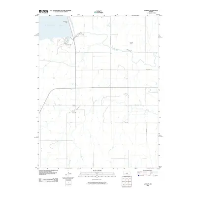 2009 Langley2009 Print · USGSLangley and the surrounding Ellsworth County countryside appear in this early twenty-first-century survey just south of the vast reservoir. Researchers can trace local heritage through sites like Riverside Cemetery, the Kanopolis Dam, and the small settlement of Langley.
 - 2009 Map of Galva, 2009 Print
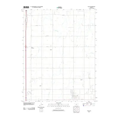 2009 Galva2009 Print · USGSMcPherson County agricultural and oil-producing lands are captured here in the first decade of the 2000s. Genealogists and local historians can trace the rural layout around Galva and New Gottland, or locate the extensive McPherson Oil Field and Ritz Canton Oil Field.
End of results
Showing maps 1-18 of 18
Top cities of McPherson County
- McPherson historical maps
- Lindsborg historical maps
- Moundridge historical maps
- Inman historical maps
- Canton historical maps
- Galva historical maps
See more
Frequently asked questions
- What are the different types of historical maps available for McPherson County?
- What is the oldest map of McPherson County?
- Where can I purchase historical maps of McPherson County for my home or office?
- Where can I download high-res historical maps of McPherson County?
- Are there historical topographic maps available for McPherson County?
- Is there historical aerial imagery available for McPherson County?
- Where are historical maps of McPherson County sourced from?