2010s Maps of Mitchell County, Kansas
Explore 64 historic maps of Mitchell County from the 2010s. These maps offer a rare glimpse into what life looked like during the 2010s — showing old roads, neighborhoods, homes, and landmarks that have changed or disappeared over time.
Whether you're researching your family's past, planning a metal detecting trip, or studying how Mitchell County's landscape evolved across the 2010s, these high-resolution maps are a powerful tool for exploring the history of this region.
- Focus on a specific era: All maps on this page are from the 2010s, giving you a focused view of this time period.
- See what’s changed: Compare century-old streets, trails, and buildings to today's modern landscape using overlays and satellite layers.
- Research with precision: Use these maps for genealogy, historical research, land use analysis, or educational projects.
- View, download, or print: Maps are fully viewable online in high resolution, and can be downloaded or printed for your own records.
Start exploring Mitchell County's history through authentic maps from the 2010s. This is your window into the past.
Mitchell County, KS maps
(64)- 2010 Map of Barnard, 2010 Print
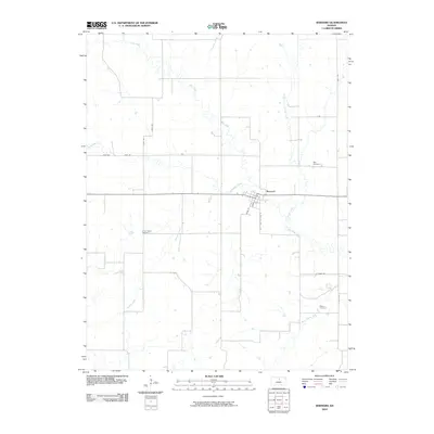 2010 Barnard2010 Print · USGSBarnard and its rural surroundings are captured here at the start of the 2010s, showing a landscape shaped by creek systems and early settlement patterns. Genealogists can locate family sites at Milo Cemetery, Union Valley Cemetery, and Elkhorn Cemetery scattered across the township.
 - 2010 Map of Glen Elder South, 2010 Print
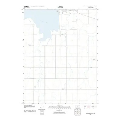 2010 Glen Elder South2010 Print · USGSMitchell County farmland surrounds the southern shores of the reservoir during the early twenty-first century. Genealogists can trace family connections at rural landmarks like Fairview Cemetery, Excelsior Cemetery, and High Prairie Cemetery.
 - 2010 Map of Glen Elder North, 2010 Print
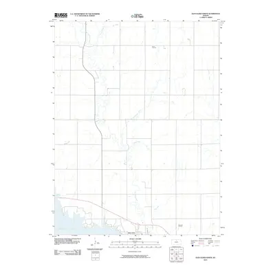 2010 Glen Elder North2010 Print · USGSMitchell County farmland meets the northern shores of the reservoir during the early twenty-first century. Researchers can trace family sites near Athens Cemetery or follow the winding paths of Disappointment Creek and Frog Creek toward the town of Glen Elder.
 - 2010 Map of Cawker City, 2010 Print
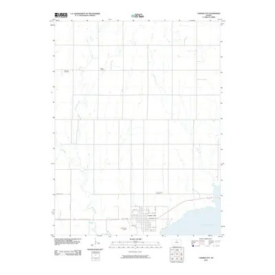 2010 Cawker City2010 Print · USGSCawker City and the northern shores of Waconda Lake are detailed here during the early twenty-first century. Family historians can locate several local burial grounds, including Rooker Cemetery and Prairie Grove Cemetery, while tracing the paths of Oak Creek and Granite Creek.
 - 2012 Map of Beloit SW, 2012 Print
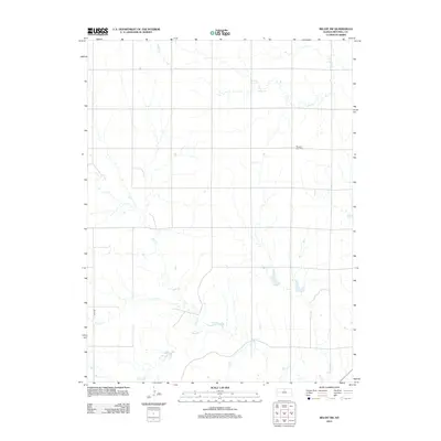 2012 Beloit SW2012 Print · USGSMitchell County at the start of the decade reveals a landscape of precision-grid roads and prairie drainages. Researchers can trace the family history at Pleasant View Cem or follow the natural boundaries of Leban Cr and Salt Cr.
 - 2012 Map of Blue Hill, 2012 Print
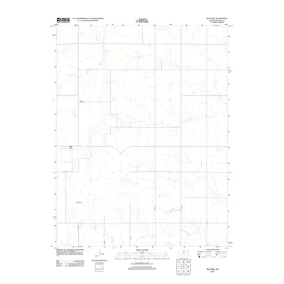 2012 Blue Hill2012 Print · USGSMitchell County settlement patterns are preserved here in the early twenty-first century, showing a landscape defined by the Blue Hills and a grid of rural roads. Genealogists can locate family sites near Rose Valley Cem, Union Cem, and the waters of Salt Cr.
 - 2012 Map of Lincoln NW, 2012 Print
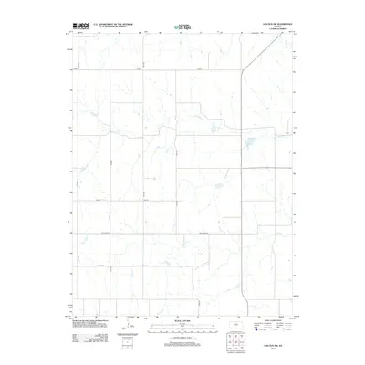 2012 Lincoln NW2012 Print · USGSLincoln County, Kansas, is documented here in the early 21st century, showing a landscape defined by an enduring agricultural grid and prairie waterways. Genealogists and researchers can trace local land access via Ash Grove Rd and explore the courses of Rattlesnake Cr and Battle Cr.
 - 2012 Map of Jewell SW, 2012 Print
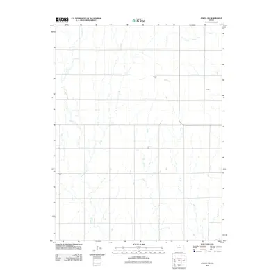 2012 Jewell SW2012 Print · USGSMitchell County farmland is depicted here in the early twenty-first century, showing a rural landscape anchored by its creeks and burial grounds. Genealogists can locate family sites at Star Cem, Glendale Cem, and Fairview Cem along the winding banks of Mulberry Cr.
 - 2012 Map of Barnard, 2012 Print
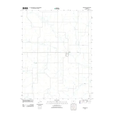 2012 Barnard2012 Print · USGSThe community of Barnard and the surrounding Lincoln County ranchlands are documented here during the early twenty-first century. Researchers can trace local lineage through several sites including Milo Cemetery, Union Valley Cemetery, and Elkhorn Cemetery.
 - 2012 Map of Glen Elder South, 2012 Print
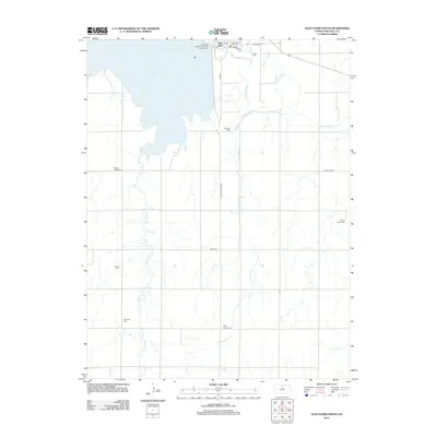 2012 Glen Elder South2012 Print · USGSMitchell County in the early twenty-first century is defined by the massive Waconda Lake and the rural communities that surround its shores. Genealogists can trace family heritage across a series of named burial grounds including Walnut Creek Cem, Naomi Cem, and Excelsior Cem.
 - 2012 Map of Beloit, 2012 Print
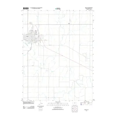 2012 Beloit2012 Print · USGSBeloit and its surrounding river valley are captured here just after the turn of the millennium. Researchers can locate family sites at Elmwood Cem or Saint Johns Cem, and trace the rural community near Gilbert and the Solomon River.
 - 2012 Map of Glen Elder North, 2012 Print
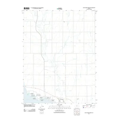 2012 Glen Elder North2012 Print · USGSGlen Elder and the Solomon River valley are shown here in the early twenty-first century as a hub of water recreation and plains agriculture. Trace local family roots at Athens Cem or explore the extensive shoreline campgrounds like Kiowa Campground near Waconda Lake.
 - 2012 Map of Hunter, 2012 Print
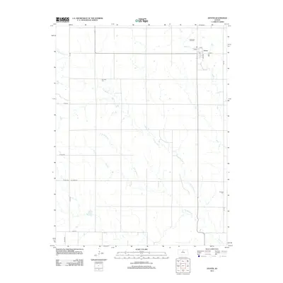 2012 Hunter2012 Print · USGSHunter and the surrounding Mitchell County prairie are captured here in the early twenty-first century as a quiet agricultural hub. Researchers can locate local burial grounds like Greenwood Union Cem and trace the paths of Bacon Cr and Spillman Cr.
 - 2012 Map of Mill Creek, 2012 Print
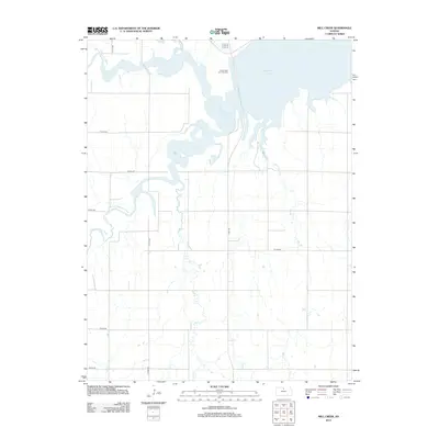 2012 Mill Creek2012 Print · USGSOsborne County at the start of the 2010s shows a landscape shaped by the waters of Waconda Lake and the confluence of the Solomon River forks. Genealogists and local historians can locate the Saints Peter and Paul Cem and trace the rural paths of Tipton Rd and Carr Cr.
 - 2012 Map of Cawker City, 2012 Print
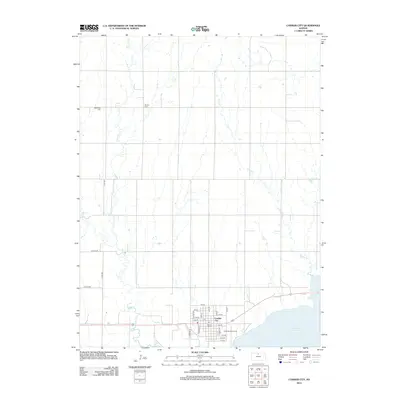 2012 Cawker City2012 Print · USGSCawker City sits along the north shore of Waconda Lake in the early 2010s, serving as a quintessential Kansas prairie settlement. Researchers can locate the iconic Ball of Twine, trace family roots at Rooker Cem, or explore the drainages of Little Oak Cr.
 - 2012 Map of Beloit SE, 2012 Print
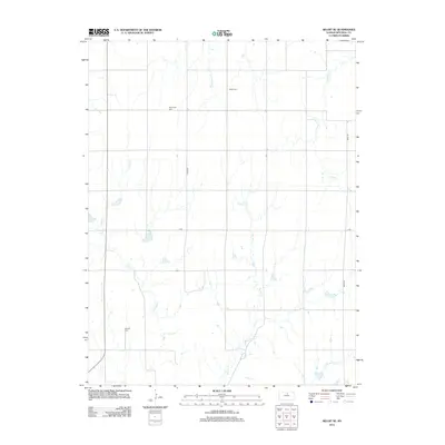 2012 Beloit SE2012 Print · USGSMitchell County is shown here in its modern agricultural context, where the prairie is organized by a precise road grid and small creek systems. Genealogists can locate family burial sites at Shiloh Cem and Saltville Cem or trace the course of Fourth Cr.
 - 2012 Map of Jewell SE, 2012 Print
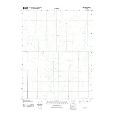 2012 Jewell SE2012 Print · USGSMitchell County prairie land is captured here in the early twenty-first century, showing a landscape defined by traditional section lines and wandering creeks. Genealogists can locate the Pleasant Prairie Cem while researchers trace the courses of Plum Cr and Little Cheyenne Cr.
 - 2012 Map of Glasco SW, 2012 Print
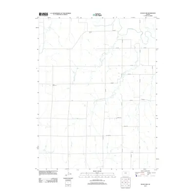 2012 Glasco SW2012 Print · USGSThe rural creek valleys of Cloud County are captured here in the early 2010s, showing a landscape defined by the Solomon River and its tributaries. Researchers can locate ancestral sites at Simpson Cem and Green Mound Cem or trace the drainage of Third Cr.
 - 2012 Map of Solomon Rapids, 2012 Print
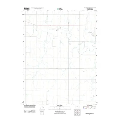 2012 Solomon Rapids2012 Print · USGSMitchell County farmland and the Solomon River valley are captured here in the early 21st century. Researchers can locate the western fringes of Beloit and trace rural lineages through local landmarks like Pleasant Valley Cem and Hopewell Cem.
 - 2012 Map of Ash Grove, 2012 Print
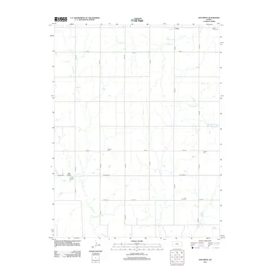 2012 Ash Grove2012 Print · USGSAsh Grove and Victor are captured in this recent survey of the Mitchell County countryside, where agriculture and history intersect. Researchers can locate family landmarks like Patterson Cem and Round Springs Cem near the banks of Rattlesnake Cr.
 - 2012 Map of Tipton, 2012 Print
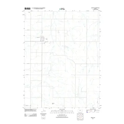 2012 Tipton2012 Print · USGSTipton and the surrounding Mitchell County plains are captured here in the early twenty-first century as a portrait of enduring Kansas farm life. Genealogists can locate family sites near Saint Boniface Cem and Lutheran Cem or trace the drainage of Carr Cr and Williams Butte.
 - 2012 Map of Scottsville, 2012 Print
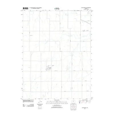 2012 Scottsville2012 Print · USGSMitchell County agricultural life is centered on Scottsville in the early 2010s, showing a landscape defined by creek drainages and quiet country crossroads. Genealogists can locate several local burial grounds, including Lutheran Cem, Saint Mary's Cem, and Scottsville Cem.
 - 2012 Map of Ada, 2012 Print
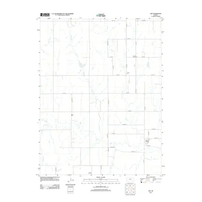 2012 Ada2012 Print · USGSThe rural Ottawa County settlements of Ada and Milo are documented here as they appeared in 2012, situated among a network of creek drainages. Genealogists can locate family landmarks such as the Bohemian National Cemetery, Baldwin Cemetery, and Spring Creek Cemetery.
 - 2012 Map of Simpson, 2012 Print
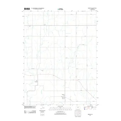 2012 Simpson2012 Print · USGSMid-century Mitchell County comes into focus as the communities of Asherville and Simpson sit nestled near the Solomon River. Genealogists can locate family sites near the Asherville Cem, McBride Cem, and the local PO at Simpson.
 - 2015 Map of Barnard, 2015 Print
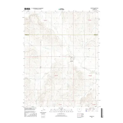 2015 Barnard2015 Print · USGSThe town of Barnard sits at the heart of this rural Kansas landscape, mapped as it appeared in the mid-2010s. Local researchers can trace family roots through several community sites, including Milo Cem, Union Valley Cem, and Elkhorn Cem.
Showing maps 1-25 of 64
Top cities of Mitchell County
- Beloit historical maps
- Cawker City historical maps
- Glen Elder historical maps
- Tipton historical maps
- Asherville historical maps
- Solomon Rapids historical maps
See more
Frequently asked questions
- What are the different types of historical maps available for Mitchell County?
- What is the oldest map of Mitchell County?
- Where can I purchase historical maps of Mitchell County for my home or office?
- Where can I download high-res historical maps of Mitchell County?
- Are there historical topographic maps available for Mitchell County?
- Is there historical aerial imagery available for Mitchell County?
- Where are historical maps of Mitchell County sourced from?