2000s (21st Century) Maps of Neosho County, Kansas
Explore 75 historic maps of Neosho County from the 2000s (21st Century). These maps offer a rare glimpse into what life looked like during the 2000s — showing old roads, neighborhoods, homes, and landmarks that have changed or disappeared over time.
Whether you're researching your family's past, planning a metal detecting trip, or studying how Neosho County's landscape evolved across the 2000s, these high-resolution maps are a powerful tool for exploring the history of this region.
- Focus on a specific era: All maps on this page are from the 2000s, giving you a focused view of this time period.
- See what’s changed: Compare century-old streets, trails, and buildings to today's modern landscape using overlays and satellite layers.
- Research with precision: Use these maps for genealogy, historical research, land use analysis, or educational projects.
- View, download, or print: Maps are fully viewable online in high resolution, and can be downloaded or printed for your own records.
Start exploring Neosho County's history through authentic maps from the 2000s. This is your window into the past.
Neosho County, KS maps
(75)- 2009 Map of Porterville, 2009 Print
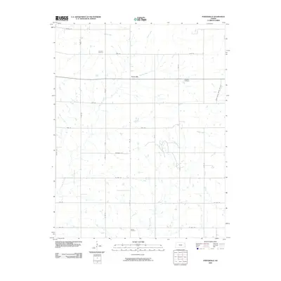 2009 Porterville2009 Print · USGSBourbon County ranching and farming lands are captured here in the early twenty-first century. Genealogists and local historians can locate rural burial sites like Harmony Cemetery and Rosedale Cemetery or trace the paths of Flat Rock Creek and Paint Creek.
 - 2009 Map of Vilas, 2009 Print
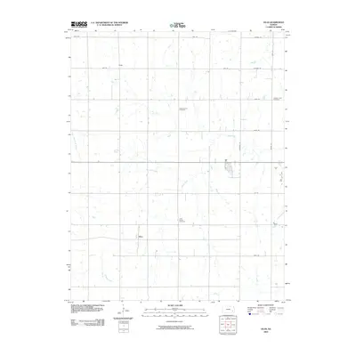 2009 Vilas2009 Print · USGSVilas and its surrounding farmstead grid are captured here in the early twenty-first century, showing the enduring structure of Wilson County. Researchers can trace family ties at the Village Creek Cemetery, Swede Center Cemetery, and the settlement of Vilas.
 - 2009 Map of Chanute, 2009 Print
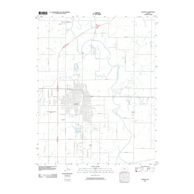 2009 Chanute2009 Print · USGSChanute and the surrounding Neosho County countryside are captured here in the early 2000s, showing the city's growth alongside its river systems. Researchers can locate family plots at Greenlawn or Greenwood Cemetery, and trace the path of the Neosho River past Petrolia.
 - 2009 Map of Stark, 2009 Print
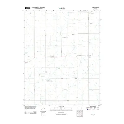 2009 Stark2009 Print · USGSSoutheast Kansas at the end of the first decade of the new millennium reveals a stable landscape of small townships and family farms. Researchers can locate ancestral sites at Savonburg Cemetery or Putnam Cemetery and trace the meandering Canville Creek.
 - 2009 Map of Rollin, 2009 Print
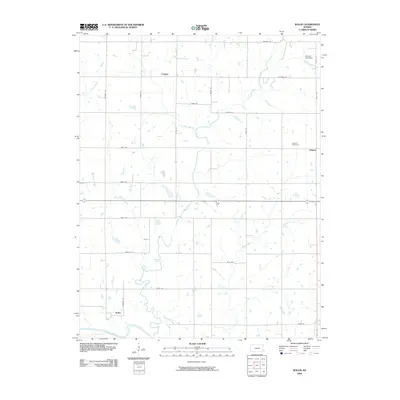 2009 Rollin2009 Print · USGSNeosho County, Kansas, is shown here as a quiet agricultural landscape defined by its river bends and prairie road grids. Genealogists and local historians can locate the Odense Cemetery and trace early settlements like Leanna, Odense, and Rollin.
 - 2010 Map of Shaw, 2010 Print
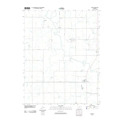 2010 Shaw2010 Print · USGSNear the Neosho River at the turn of the decade, this survey shows the rural intersections and burial grounds of Neosho County. Genealogists can trace family heritage through sites like Lakeview Cemetery, Brown Cemetery, and the settlement of Shaw.
 - 2010 Map of Erie, 2010 Print
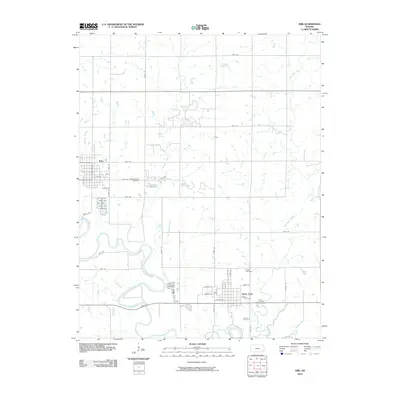 2010 Erie2010 Print · USGSNeosho County at the end of the first decade of the 2000s showcases a landscape shaped by the winding Neosho River and rural township life. Genealogists and local historians can trace the foundations of Erie and Saint Paul, while locating family plots at Hope Cemetery or Saint Francis Cemetery.
 - 2010 Map of McCune NE, 2010 Print
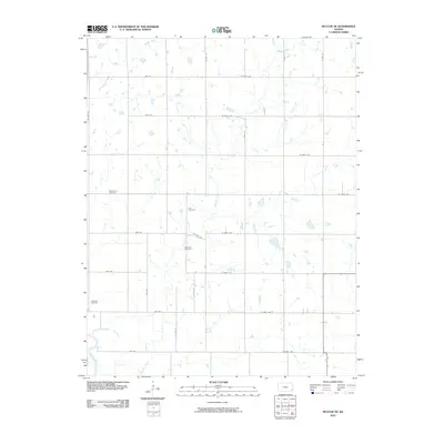 2010 McCune NE2010 Print · USGSCrawford County at the start of the 2010s shows a landscape of expansive farms and well-ordered section roads. Researchers can locate several rural landmarks including Frog Cemetery, Dumbald Cemetery, and the banks of the Neosho River.
 - 2010 Map of South Mound, 2010 Print
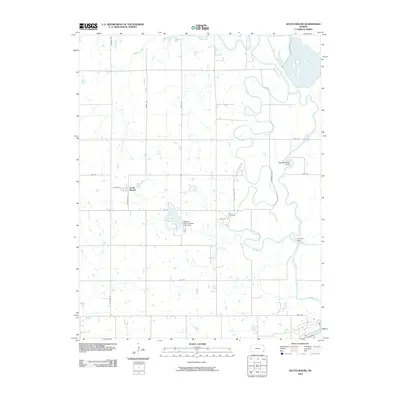 2010 South Mound2010 Print · USGSThe Neosho River valley south of Erie shows its characteristic winding course and hydraulic infrastructure in the late 2000s. Trace the settlement at South Mound, locate family plots at Brown Cemetery, and see the site of the Parsons Dam.
 - 2010 Map of Five Mounds, 2010 Print
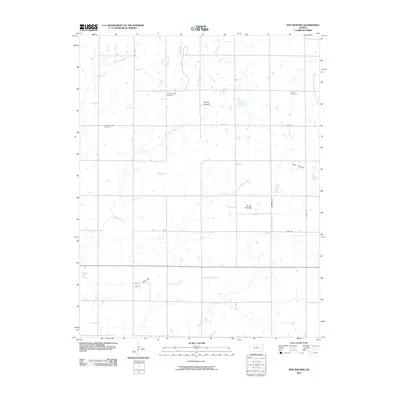 2010 Five Mounds2010 Print · USGSNeosho County is defined by a series of distinct topographic rises and prairie drainages at the start of the twenty-first century. Genealogists and local historians can trace family land near Crane Cemetery or follow the waters of Pumpkin Creek past Dewey Mound.
 - 2010 Map of Walnut, 2010 Print
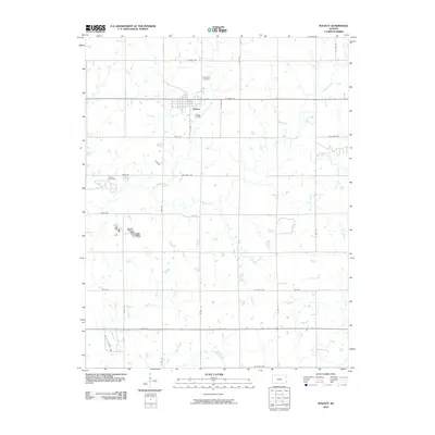 2010 Walnut2010 Print · USGSWalnut and its surrounding farmstead grid are documented here in the early twenty-first century. Genealogists and local historians can locate Glenwood Cemetery, Fowler Cemetery, and the residential blocks of Walnut alongside the winding Little Walnut Creek.
 - 2010 Map of Earlton, 2010 Print
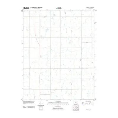 2010 Earlton2010 Print · USGSNeosho County at the start of the twenty-first century reveals a landscape of enduring agricultural patterns and quiet rural settlements. Researchers can trace family history through sites like Bethel Cemetery or follow the grid of section roads connecting Earlton and Urbana.
 - 2010 Map of Galesburg, 2010 Print
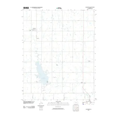 2010 Galesburg2010 Print · USGSThe Labette County countryside and the waters of Lake Parsons are captured here in the early twenty-first century. Genealogists can locate several local burial sites like Ladore Cemetery and Mount Hope Cemetery near the town of Galesburg.
 - 2010 Map of Morehead, 2010 Print
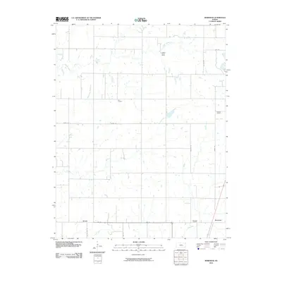 2010 Morehead2010 Print · USGSSoutheast Kansas in the early 2000s remains a landscape of quiet crossroads and winding creeks. Genealogists can trace family roots through Star Cemetery or Morehead Cemetery, while exploring the rural reaches of Brooks and Dry Creek.
 - 2010 Map of Thayer, 2010 Print
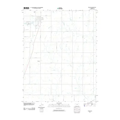 2010 Thayer2010 Print · USGSSoutheast Kansas at the start of the decade reveals a landscape where organized grid roads meet winding prairie waterways. Genealogists and local researchers can pinpoint Thayer Cemetery, trace the course of Big Hill Creek, or locate landmarks like the Thayer City Dam.
 - 2012 Map of Rollin, 2012 Print
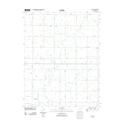 2012 Rollin2012 Print · USGSAgricultural Neosho County is meticulously mapped here in the early twenty-first century, showing the enduring grid of section-line roads and prairie settlements. Researchers can locate family sites near Leanna Cem, Odense, and the banks of the Neosho River.
 - 2012 Map of Porterville, 2012 Print
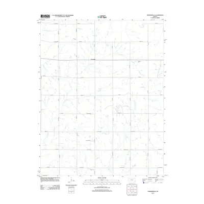 2012 Porterville2012 Print · USGSSoutheast Kansas farmland is depicted in detail here during the early twenty-first century. Genealogists can locate family burial grounds at Harmony Cem and Walnut Cem or trace the drainage of Flat Rock Cr and Pony Cr.
 - 2012 Map of McCune NE, 2012 Print
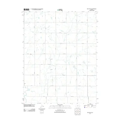 2012 McCune NE2012 Print · USGSCrawford County's rural townships are documented in the early twenty-first century, showing the enduring grid of prairie section roads. Genealogists can locate several family burial sites including Frogge Cem and Dumbauld Cem near the banks of Hickory Cr.
 - 2012 Map of Thayer, 2012 Print
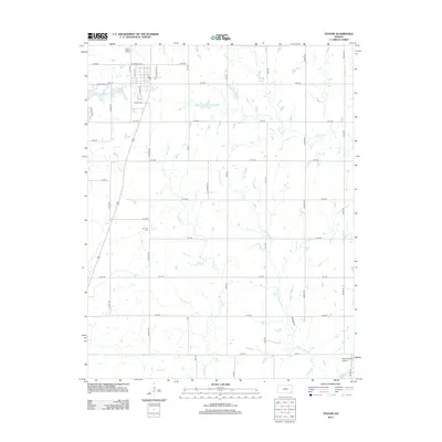 2012 Thayer2012 Print · USGSSoutheast Kansas farming communities are mapped in detail here during the early 2010s. Researchers can locate family sites near Thayer Cem and S Center Cem or trace the waterways of Big Hill Cr and Little Labette Cr.
 - 2012 Map of Stark, 2012 Print
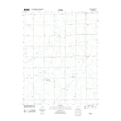 2012 Stark2012 Print · USGSEastern Neosho County is revealed in the early 2010s as a landscape of structured section lines and winding prairie creeks. Researchers can locate community anchors like Kimball, the Swedish Cem, and Mount Moriah Cem among the headwaters of Canville Cr.
 - 2012 Map of Earlton, 2012 Print
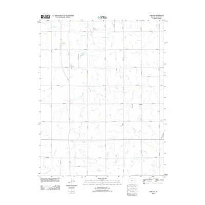 2012 Earlton2012 Print · USGSNeosho County near the Elk River is captured here in the early twenty-first century, showing a landscape defined by traditional agriculture and small rural hubs. Genealogists can trace family footprints at Earlton Cemetery, the settlement of Urbana, and the Urbana Cem.
 - 2012 Map of Galesburg, 2012 Print
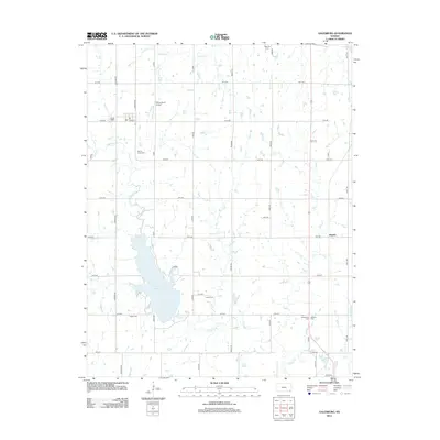 2012 Galesburg2012 Print · USGSSoutheastern Kansas in the early twenty-first century reveals a landscape defined by water and legacy. Genealogists can locate several rural burial grounds including Ladore Cem and Mount Hope Cem situated near the banks of Lake Parsons.
 - 2012 Map of Vilas, 2012 Print
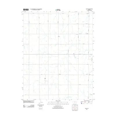 2012 Vilas2012 Print · USGSThe rural landscape of Wilson County is captured here in the early twenty-first century, centered on the community of Vilas. Genealogists can trace local heritage through several scattered burial grounds including Vilas Bethel Cem, Swede Center Cem, and Zion Cem.
 - 2012 Map of Morehead, 2012 Print
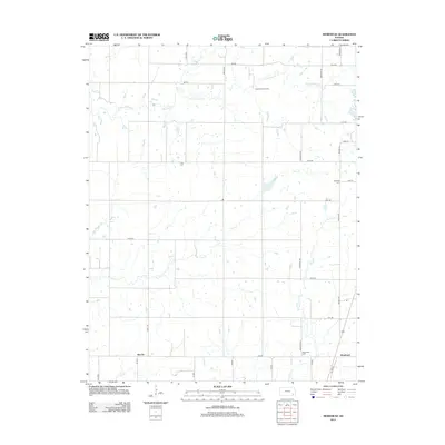 2012 Morehead2012 Print · USGSSoutheast Kansas at the start of the 2010s remains a landscape of quiet rural communities and deep-rooted farmsteads. Genealogists and historians can trace local family lineages through Star Cem and Morehead Cem while following the paths of Chetopa Cr and Drum Cr.
 - 2012 Map of Five Mounds, 2012 Print
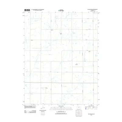 2012 Five Mounds2012 Print · USGSNeosho County is shown here in the early twenty-first century as an organized grid of ranch roads and meandering creek beds. Genealogists can locate family sites near Pleasant Valley Cem, Crane Cem, and landmarks like Five Mounds.
Showing maps 1-25 of 75
Top cities of Neosho County
- Chanute historical maps
- Erie historical maps
- Thayer historical maps
- Galesburg historical maps
- Stark historical maps
- Earlton historical maps
Frequently asked questions
- What are the different types of historical maps available for Neosho County?
- What is the oldest map of Neosho County?
- Where can I purchase historical maps of Neosho County for my home or office?
- Where can I download high-res historical maps of Neosho County?
- Are there historical topographic maps available for Neosho County?
- Is there historical aerial imagery available for Neosho County?
- Where are historical maps of Neosho County sourced from?