Old Maps of Stockton, Kansas for Hiking & Exploration
Hike through history with 16 historic maps of Stockton. Explore old trails, ghost towns, and forgotten backroads — perfect for outdoor adventurers and local explorers.
- Rediscover forgotten places: Map out old mining camps, roads, and footpaths that no longer exist on modern maps.
- Layer with modern tools: Combine with LiDAR or satellite views to plan hikes through historical terrain.
- Made for exploration: Popular among hikers, overlanders, and local history lovers.
Use these maps to find adventure and explore the hidden past of Stockton.
Stockton, KS maps
(16)- 1896 Map of Plainville
 1896 Plainville1896 Print · USGSThe Rooks County high plains are seen here in the 1890s as the rail networks expanded across the Solomon and Saline river valleys. Genealogists can trace family roots in early settlements like Plainville, Stockton, and the vanished site of Turkville.3 unique versions available
 - 1953 Map of Stockton, 1954 Print
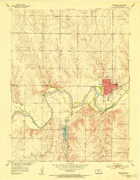 1953 Stockton1954 Print · USGSStockton and the Rooks County plains are captured here in the early fifties, following the course of the South Fork Solomon River. Genealogists can locate rural landmarks like Mt Nebo Sch, the Old Stockton Cem, and the Community Hall.3 unique versions available
 - 1955 Map of Beloit, 1971 Print
 1955 Beloit1971 Print · USGSNorth Central Kansas in the mid-fifties shows a landscape of river-valley agriculture and expanding water infrastructure. Genealogists can trace the rail lines of the Union Pacific through towns like Nicodemus, Cawker City, and the State Sanatorium.3 unique versions available
 - 1959 Map of Beloit
 1959 Beloit1959 Print · USGSNorth Central Kansas at mid-century reveals a landscape shaped by river valleys and the expansion of massive water reservoirs. Genealogists and historians can trace the rail-town connections of Beloit and Norton or locate the site of the new Webster Dam.3 unique versions available
 - 1978 Map of Stockton SE, 1979 Print
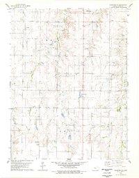 1978 Stockton SE1979 Print · USGSRooks County in the late seventies is captured here at a height of rural energy production and local development. Genealogists and historians can trace the expansive Oil Field network, locate the Stockton Municipal Airport, or find early landmarks like the County Country Club.
 - 1985 Map of Plainville
 1985 Plainville1985 Print · USGSNorthwestern Kansas in the mid-eighties reveals a landscape shaped by the Solomon River and the expansion of energy production. Researchers can trace the Union Pacific rail line and locate key sites like the historic settlement of Nicodemus, Webster Reservoir, and numerous oil fields.2 unique versions available
 - 2009 Map of Stockton, 2009 Print
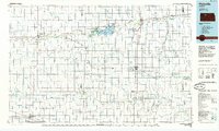
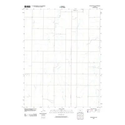
 2009 Stockton2009 Print · USGSCovers Stockton, including Rooks County, United States, and other nearby areas
 - 2009 Map of Stockton SE, 2009 Print
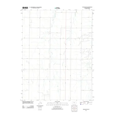
 2009 Stockton SE2009 Print · USGSCovers Stockton, including Rooks County, United States, and other nearby areas
 - 2012 Map of Stockton SE, 2012 Print
 2012 Stockton SE2012 Print · USGSCovers Stockton, including Rooks County, United States, and other nearby areas
 - 2012 Map of Stockton, 2012 Print
 2012 Stockton2012 Print · USGSCovers Stockton, including Rooks County, United States, and other nearby areas
 - 2015 Map of Stockton SE, 2015 Print
 2015 Stockton SE2015 Print · USGSCovers Stockton, including Rooks County, United States, and other nearby areas
 - 2015 Map of Stockton, 2015 Print
 2015 Stockton2015 Print · USGSCovers Stockton, including Rooks County, United States, and other nearby areas
 - 2018 Map of Stockton, 2018 Print
 2018 Stockton2018 Print · USGSCovers Stockton, including Rooks County, United States, and other nearby areas
 - 2018 Map of Stockton SE, 2018 Print
 2018 Stockton SE2018 Print · USGSCovers Stockton, including Rooks County, United States, and other nearby areas
 - 2022 Map of Stockton, 2022 Print
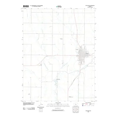
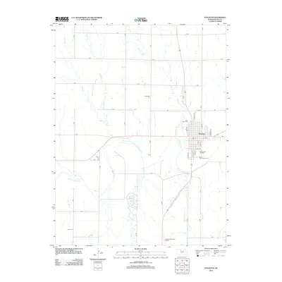
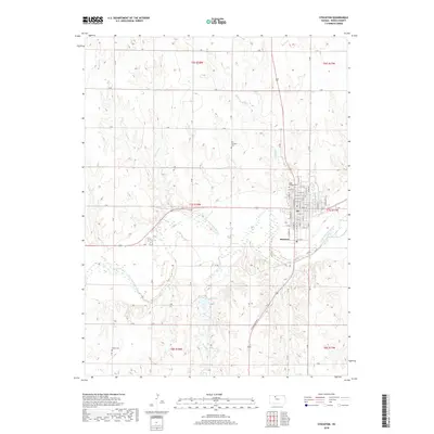
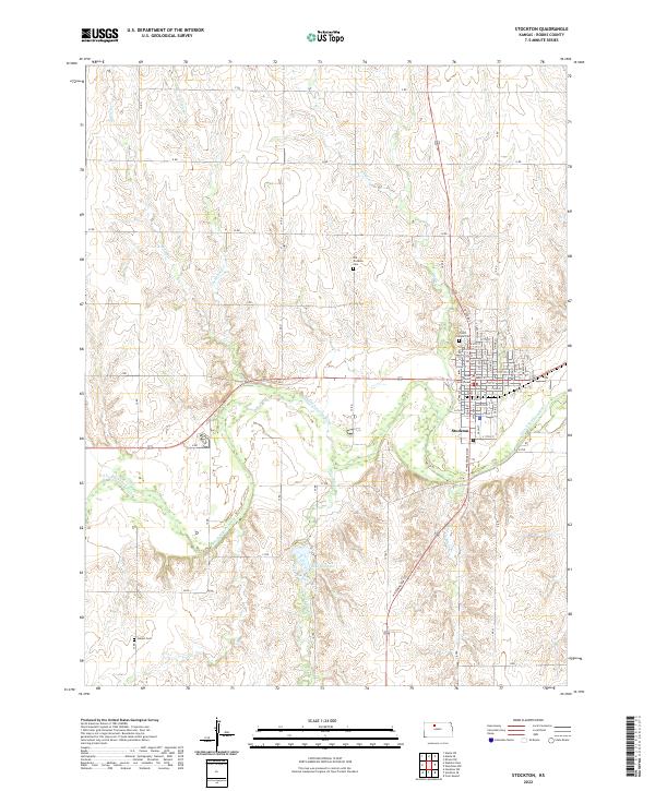 2022 Stockton2022 Print · USGSThe Rooks County seat of Stockton and its surrounding prairie river valley are documented here in high detail. Researchers can trace family history at Old Stockton Cem and Hobart Cem or locate the Rooks County Courthouse at the heart of the community.
 - 2022 Map of Stockton SE, 2022 Print
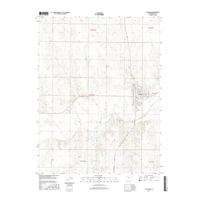
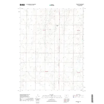
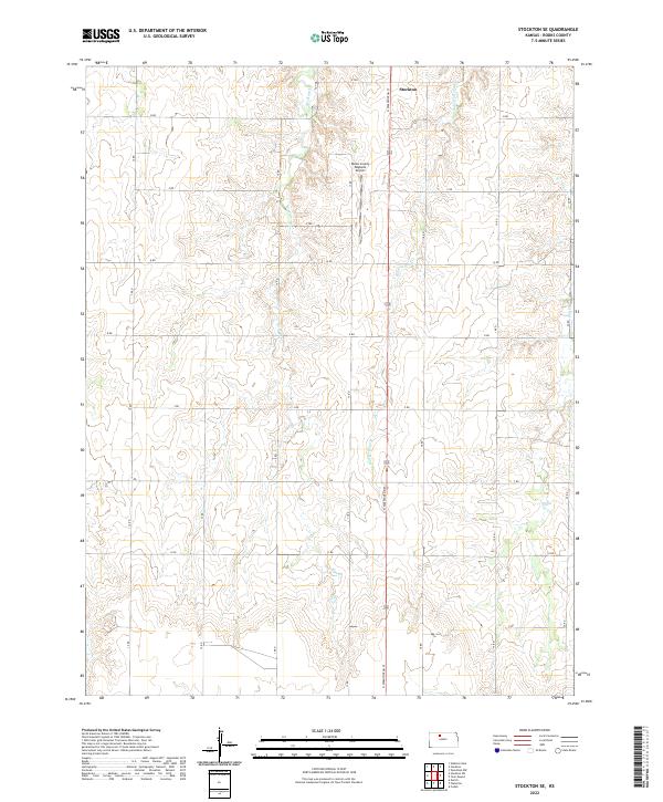 2022 Stockton SE2022 Print · USGSNorth-central Kansas prairie life is documented in this recent survey of the area surrounding Stockton. Genealogists and land researchers can trace property boundaries and rural infrastructure along Boxelder Cr and near the Rooks County Regional Airport.
End of results
Showing maps 1-16 of 16
Top cities near Stockton
Frequently asked questions
- What are the different types of historical maps available for Stockton?
- What is the oldest map of Stockton?
- Where can I purchase historical maps of Stockton for my home or office?
- Where can I download high-res historical maps of Stockton?
- Are there historical topographic maps available for Stockton?
- Is there historical aerial imagery available for Stockton?
- Where are historical maps of Stockton sourced from?