Old Maps of Rooks County, Kansas
Explore 28 old maps of Rooks County, spanning from 1893 to today. These high-resolution historic maps reveal how streets, neighborhoods, landmarks, and natural features evolved over time — perfect for genealogy, metal detecting, research, and local history exploration.
What you can do with these maps:
- See how Rooks County changed over time: Compare historical maps to modern-day views to trace roads, homesites, rail lines & more.
- View detailed metadata: Each map includes creators, publishers, year, scale, and archive source.
- Overlay maps with satellite & LiDAR: Visualize the past alongside modern tools to explore terrain & human change.
- Trusted historical sources: Maps sourced from the USGS, Library of Congress, and other archives.
- Access maps your way: View online, download high-res files, or order prints for personal or research use.
Start exploring old maps of Rooks County to uncover forgotten places, hidden landmarks, and the deep history beneath your feet.
Rooks County, KS maps
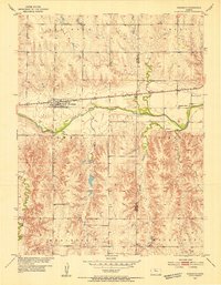
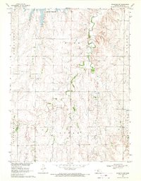
(28)- 1893 Map of Norton
 1893 Norton1893 Print · USGSCovers Rooks County, including Norton, Logan, and other nearby areas4 unique versions available
 - 1893 Map of Phillipsburg
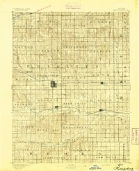 1893 Phillipsburg1893 Print · USGSCovers Rooks County, including Phillipsburg, Kensington, and other nearby areas4 unique versions available
 - 1893 Map of Hill
 1893 Hill1893 Print · USGSCovers Rooks County, including WaKeeney, Hill City, and other nearby areas4 unique versions available
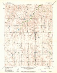
 - 1896 Map of Plainville
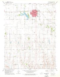
 1896 Plainville1896 Print · USGSCovers Rooks County, including Plainville, Stockton, and other nearby areas3 unique versions available
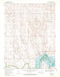
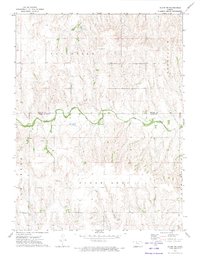
 - 1952 Map of Webster Dam, 1955 Print
 1952 Webster Dam1955 Print · USGSCovers Rooks County, including Webster, United States, and other nearby areas2 unique versions available
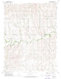
 - 1953 Map of Woodston NW, 1954 Print
 1953 Woodston NW1954 Print · USGSCovers Rooks County, including United States, Kansas, and other nearby areas2 unique versions available
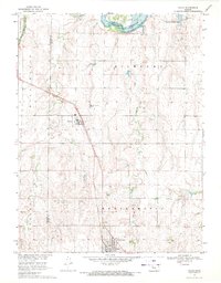
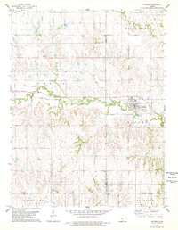
 - 1953 Map of Stockton, 1954 Print
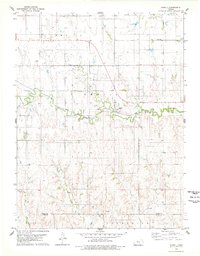
 1953 Stockton1954 Print · USGSCovers Rooks County, including Stockton, United States, and other nearby areas3 unique versions available
 - 1953 Map of Woodston, 1954 Print
 1953 Woodston1954 Print · USGSCovers Rooks County, including Woodston, Osborne County, and other nearby areas2 unique versions available
 - 1955 Map of Beloit, 1971 Print
 1955 Beloit1971 Print · USGSCovers Rooks County, including Beloit, Norton, and other nearby areas3 unique versions available
 - 1959 Map of Beloit
 1959 Beloit1959 Print · USGSCovers Rooks County, including Beloit, Norton, and other nearby areas3 unique versions available
 - 1961 Map of Kirwin SE, 1962 Print
 1961 Kirwin SE1962 Print · USGSCovers Rooks County, including Phillips County, Osborne County, and other nearby areas
 - 1961 Map of Kirwin SW, 1963 Print
 1961 Kirwin SW1963 Print · USGSCovers Rooks County, including Phillips County, United States, and other nearby areas
 - 1969 Map of Nicodemus, 1971 Print
 1969 Nicodemus1971 Print · USGSCovers Rooks County, including Nicodemus, Graham County, and other nearby areas
 - 1969 Map of Palco, 1971 Print
 1969 Palco1971 Print · USGSCovers Rooks County, including Palco, Damar, and other nearby areas
 - 1969 Map of Stockton SW, 1971 Print
 1969 Stockton SW1971 Print · USGSCovers Rooks County, including United States, Kansas, and other nearby areas
 - 1972 Map of Glade SW, 1974 Print
 1972 Glade SW1974 Print · USGSCovers Rooks County, including Phillips County, United States, and other nearby areas
 - 1972 Map of Glade SE, 1974 Print
 1972 Glade SE1974 Print · USGSCovers Rooks County, including Phillips County, United States, and other nearby areas
 - 1978 Map of Natoma, 1979 Print
 1978 Natoma1979 Print · USGSCovers Rooks County, including Natoma, Ellis County, and other nearby areas
 - 1978 Map of Plainville, 1979 Print
 1978 Plainville1979 Print · USGSCovers Rooks County, including Plainville, Ellis County, and other nearby areas
 - 1978 Map of Codell, 1979 Print
 1978 Codell1979 Print · USGSCovers Rooks County, including Codell, Ellis County, and other nearby areas
 - 1978 Map of Twin Mound, 1979 Print
 1978 Twin Mound1979 Print · USGSCovers Rooks County, including United States, Kansas, and other nearby areas
 - 1978 Map of Zurich, 1979 Print
 1978 Zurich1979 Print · USGSCovers Rooks County, including Zurich, Ellis County, and other nearby areas
 - 1978 Map of Laton, 1979 Print
 1978 Laton1979 Print · USGSCovers Rooks County, including Laton, Osborne County, and other nearby areas
 - 1978 Map of Stockton SE, 1979 Print
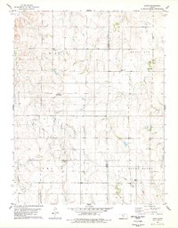
 1978 Stockton SE1979 Print · USGSCovers Rooks County, including Stockton, United States, and other nearby areas
 - 1979 Map of Logan SE
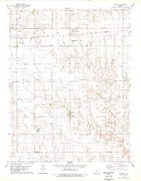
 1979 Logan SE1979 Print · USGSCovers Rooks County, including Phillips County, Graham County, and other nearby areas
Showing maps 1-25 of 28
Top cities of Rooks County
- Plainville historical maps
- Stockton historical maps
- Palco historical maps
- Damar historical maps
- Zurich historical maps
- Woodston historical maps
Frequently asked questions
- What are the different types of historical maps available for Rooks County?
- What is the oldest map of Rooks County?
- Where can I purchase historical maps of Rooks County for my home or office?
- Where can I download high-res historical maps of Rooks County?
- Are there historical topographic maps available for Rooks County?
- Is there historical aerial imagery available for Rooks County?
- Where are historical maps of Rooks County sourced from?