2010s Maps of Barren County, Kentucky
Explore 76 historic maps of Barren County from the 2010s. These maps offer a rare glimpse into what life looked like during the 2010s — showing old roads, neighborhoods, homes, and landmarks that have changed or disappeared over time.
Whether you're researching your family's past, planning a metal detecting trip, or studying how Barren County's landscape evolved across the 2010s, these high-resolution maps are a powerful tool for exploring the history of this region.
- Focus on a specific era: All maps on this page are from the 2010s, giving you a focused view of this time period.
- See what’s changed: Compare century-old streets, trails, and buildings to today's modern landscape using overlays and satellite layers.
- Research with precision: Use these maps for genealogy, historical research, land use analysis, or educational projects.
- View, download, or print: Maps are fully viewable online in high resolution, and can be downloaded or printed for your own records.
Start exploring Barren County's history through authentic maps from the 2010s. This is your window into the past.
Barren County, KY maps
(76)- 2010 Map of Center, 2010 Print
 2010 Center2010 Print · USGSCentral Kentucky's rural landscape is captured here in the early twenty-first century, showing a network of historic family-named cemeteries and crossroads. Researchers can locate ancestral sites like Sydnor Cemetery and Franklin Cemetery or trace the Little Barren River to the Horseshoe Bend.
 - 2010 Map of Mammoth Cave, 2010 Print
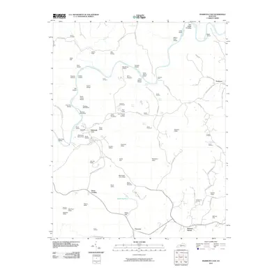 2010 Mammoth Cave2010 Print · USGSEdmonson County’s famous karst landscape is documented here in the early 21st century, centered on the surface features of the national park. Researchers can locate many small burial grounds and historic crossings, including Old Guides Cemetery, Dennison Ferry, and the remote Campground Cemetery.
 - 2010 Map of Lucas, 2010 Print
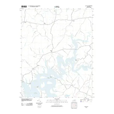 2010 Lucas2010 Print · USGSBarren County's lake-focused landscape is captured here in the early twenty-first century, centered on the communities of Lucas and Finney. Local historians can trace family roots through the Allen Cemetery or explore landmarks like the Barren River Dam and The Narrows.
 - 2010 Map of Austin, 2010 Print
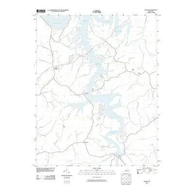 2010 Austin2010 Print · USGSBarren County's lakefront and rural hinterlands are captured here in the early twenty-first century, showing the intersection of old family lands and modern recreation. Trace local genealogy and geography at Austin Cemetery, the settlement of Maynard, or along Peter Creek.
 - 2010 Map of Sulphur Well, 2010 Print
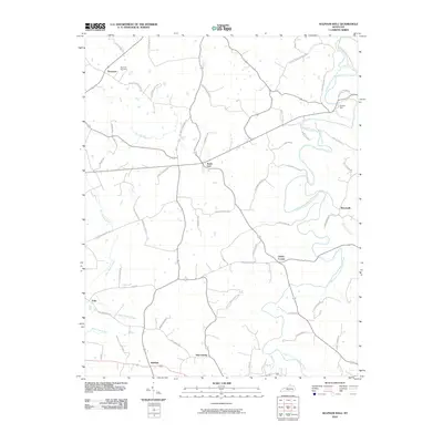 2010 Sulphur Well2010 Print · USGSMetcalfe County's rural hamlets and family-named roads are preserved here in the early twenty-first century. Genealogists can locate family landmarks like Buck Hill Cemetery and trace historical connections in settlements such as Sulphur Well and Knob Lick.
 - 2010 Map of Summer Shade, 2010 Print
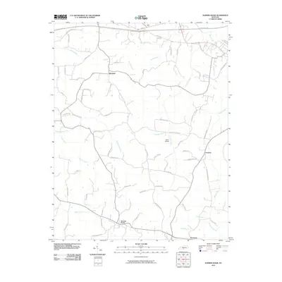 2010 Summer Shade2010 Print · USGSIn this 2010 survey of southern Kentucky, the landscape around Summer Shade reveals a deeply rooted rural community shaped by its waterways. Genealogists and local historians can trace family land via named landmarks like Miner Hollow and historic routes such as Old Randolph School Rd.
 - 2010 Map of Freedom, 2010 Print
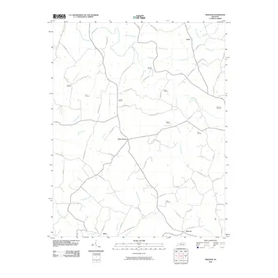 2010 Freedom2010 Print · USGSBarren County, Kentucky, maintains its traditional rural character in the early twenty-first century as small crossroads communities like Nobob and Mount Hermon endure. Family historians can trace ancestral sites across a landscape filled with small burial grounds, from Atkinson Cemetery to Payne Cemetery.
 - 2010 Map of Meador, 2010 Print
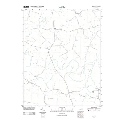 2010 Meador2010 Print · USGSWarren County’s river valleys and agricultural crossroads are captured here during a period of modern stability. Researchers can trace historic river crossings and small-town centers like Martinsville Ford, Berry Store, and Meador.
 - 2010 Map of Horse Cave, 2010 Print
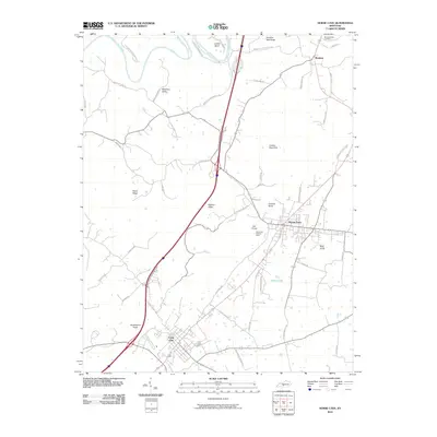 2010 Horse Cave2010 Print · USGSEarly 21st-century Barren County comes into focus as a landscape of karst features and historic transit corridors. Researchers can locate family landmarks like Woodsonville Cemetery and trace the topography from London Pace Sink to the heights of Huckleberry Knob.
 - 2010 Map of Park, 2010 Print
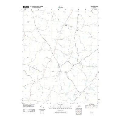 2010 Park2010 Print · USGSHart County's rural crossroads and prominent knobs are documented here in the early twenty-first century. Researchers can trace family history through numerous named routes like Liberty Schoolhouse Rd or explore the geography of Uno and Bear Wallow.
 - 2010 Map of Smiths Grove, 2010 Print
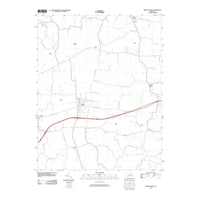 2010 Smiths Grove2010 Print · USGSWarren County at the dawn of the 2010s reveals a structured rural landscape defined by historic settlements and longstanding family farm roads. Researchers can trace ancestral roots through local sites like Kinser Cemetery, Cedar Spring, and the outlying hamlet of Hays.
 - 2010 Map of Hiseville, 2010 Print
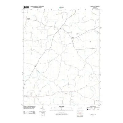 2010 Hiseville2010 Print · USGSBarren County in the early twenty-first century reveals a landscape of enduring rural crossroads and family homesteads. Researchers can locate historic burial grounds like Arnett Cemetery and trace old mill routes near Hiseville, Coral Hill, and Griderville.
 - 2010 Map of Sulphur Lick, 2010 Print
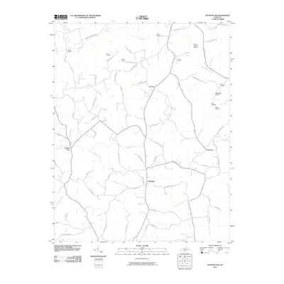 2010 Sulphur Lick2010 Print · USGSMonroe County, Kentucky, in the early twenty-first century remains a landscape of deep hollows and family-run homesteads. Genealogists and local historians can trace legacy sites like Wade Cemetery, the community of Sulphur Lick, and Peckerwood Ridge.
 - 2010 Map of Temple Hill, 2010 Print
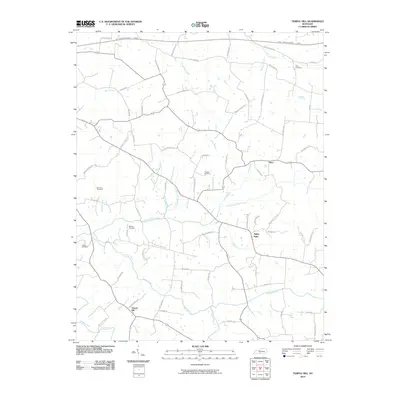 2010 Temple Hill2010 Print · USGSThe rural Kentucky communities of Temple Hill and Eighty Eight are captured here in the early twenty-first century. Genealogists and local historians can trace family roots through several small burial sites, including Bowles Cemetery, Barbour Cemetery, and Buckley Cemetery.
 - 2010 Map of Tracy, 2010 Print
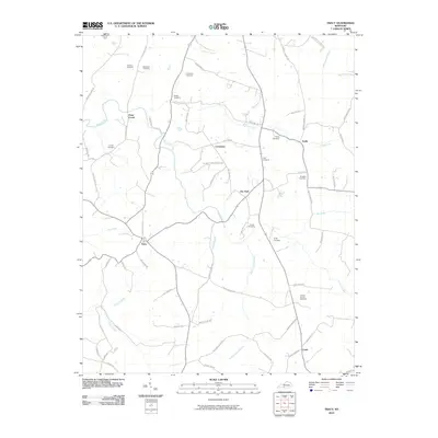 2010 Tracy2010 Print · USGSBarren County at the turn of the millennium remains a place of deep family roots and rural tradition. Genealogists can trace lineage through numerous sites like Kinslow and Burgess Cemetery, or locate the centers of Tracy and Etoile.
 - 2010 Map of Glasgow South, 2010 Print
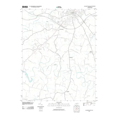 2010 Glasgow South2010 Print · USGSBarren County's southern rural landscape is captured here in the early twenty-first century, showing the growth of Glasgow alongside agricultural roots. Researchers can trace family history at sites like the Adams Cemetery or follow the waters of Skaggs Creek toward Barren River Lake.
 - 2010 Map of Park City, 2010 Print
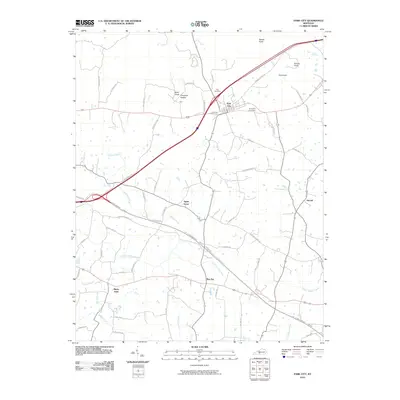 2010 Park City2010 Print · USGSThe Barren County countryside north of Glasgow comes into focus in this 2010 survey, showing the landscape as it appeared in the early twenty-first century. Researchers can trace family names and local history through features like Zion Cemetery, the settlement of Bon Ayr, and the unique topography of Opossum Hollow.
 - 2010 Map of Fountain Run, 2010 Print
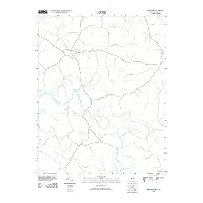 2010 Fountain Run2010 Print · USGSThe Kentucky and Tennessee borderlands come into focus in this late-career survey of Monroe County and its southern neighbors. Genealogists can trace family footprints near Fountain Run, Flippin, and the Roark Cemetery, or explore the winding banks of the Barren River.
 - 2010 Map of Glasgow North, 2010 Print
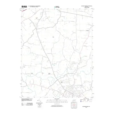 2010 Glasgow North2010 Print · USGSThe rural outskirts of Glasgow and Barren County are captured here in the early twenty-first century, showing a landscape of family-named roads and small settlements. Researchers can trace local history at Oil City, Allen Cemetery, and the vicinity of Prewitts Knob.
 - 2013 Map of Tracy, 2013 Print
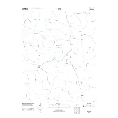 2013 Tracy2013 Print · USGSSouthern Barren County is characterized by a dense network of family-held lands and rural hamlets in the early twenty-first century. Genealogists and local historians can trace family-named sites across the countryside, from Tracy Cem and Burgess Cem to the small community at Cooktown.
 - 2013 Map of Sulphur Lick, 2013 Print
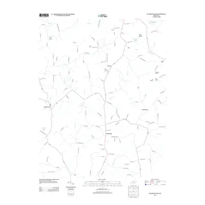 2013 Sulphur Lick2013 Print · USGSMonroe County, Kentucky, is captured here in the early twenty-first century, showing a landscape defined by creeks and family hollows. Genealogists and local historians can locate legacy sites like Dubre Cem and the small settlements of Cyclone and Persimmon.
 - 2013 Map of Fountain Run, 2013 Print
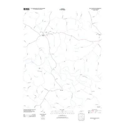 2013 Fountain Run2013 Print · USGSFountain Run and the surrounding Kentucky-Tennessee borderlands are captured here in the early twenty-first century. Genealogists and local researchers can trace family landmarks and rural communities such as Akersville, Bugtussle, and the Fountain Run Cem.
 - 2013 Map of Temple Hill, 2013 Print
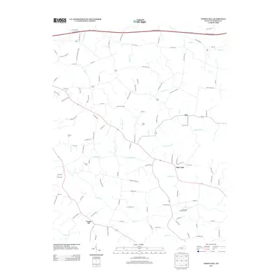 2013 Temple Hill2013 Print · USGSBarren County's rural communities are captured here in the early twenty-first century, showing the enduring agricultural character of south-central Kentucky. Researchers can trace family history through numerous small sites like Barbour Cem and Buckley Cem or explore the uniquely named Eighty Eight and Kino.
 - 2013 Map of Summer Shade, 2013 Print
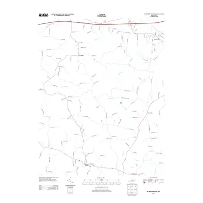 2013 Summer Shade2013 Print · USGSMetcalfe County's agricultural and river landscape is captured here in the early twenty-first century. Researchers can trace family-named roads and rural communities like Summer Shade, Randolph, and the county seat of Edmonton.
 - 2013 Map of Glasgow South, 2013 Print
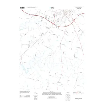 2013 Glasgow South2013 Print · USGSKentucky's southern Barren County comes into focus in the early 2010s as it balances its rural heritage with suburban growth. Local historians can trace family roots at Oak Grove Cemetery or explore the settlements of Pritchardsville and Bristletown.
Showing maps 1-25 of 76
Top cities of Barren County
Frequently asked questions
- What are the different types of historical maps available for Barren County?
- What is the oldest map of Barren County?
- Where can I purchase historical maps of Barren County for my home or office?
- Where can I download high-res historical maps of Barren County?
- Are there historical topographic maps available for Barren County?
- Is there historical aerial imagery available for Barren County?
- Where are historical maps of Barren County sourced from?