Old Maps of Glasgow, Kentucky for Genealogy
Trace your family roots with 24 historic maps of Glasgow. These high-res maps reveal old neighborhoods, homesites, landmarks, and streets — helping you uncover where your ancestors lived and how the area evolved over time.
- Explore historic neighborhoods: Identify where your relatives may have lived in the 1800s or 1900s.
- Compare maps over time: Trace the changes in streets, buildings, and landmarks for multi-generational research.
- Perfect for genealogy & ancestry research: Used by family historians and researchers to map out lineage and migration.
These maps are an incredible resource for exploring your personal connection to Glasgow's past.
Glasgow, KY maps
(24)- 1935 Map of Horse Cave
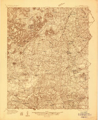 1935 Horse Cave1935 Print · USGSHart and Barren counties in the mid-1930s reveal a landscape shaped by cave tourism and rural education. Genealogists can trace family footprints through dozens of local landmarks like Ragman Seminary, Bunnells Crossing, and New Hope Ch.
 - 1938 Map of Horse Cave
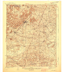 1938 Horse Cave1938 Print · USGSKentucky's cave country thrives in the late 1930s as a hub of early auto tourism and rail commerce. Genealogists can trace family roots through dozen of rural landmarks like Walton Academy, Mammoth Onyx Cave, and the Big Meadow Ch.2 unique versions available
 - 1953 Map of Glasgow South, 1954 Print
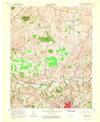
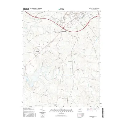
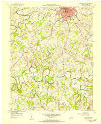 1953 Glasgow South1954 Print · USGSBarren County south of Glasgow comes alive in the early fifties, showing a rural landscape of family-named schools and small farming hamlets. Trace local roots through Bartow Cem, the old Cedar Grove Sch, or the streets of Pritchardsville.
 - 1954 Map of Glasgow North, 1956 Print
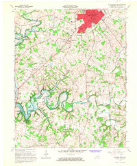
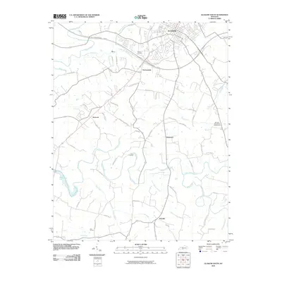
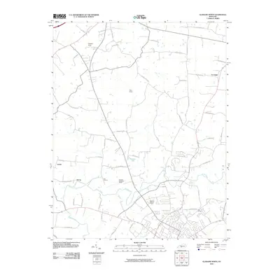
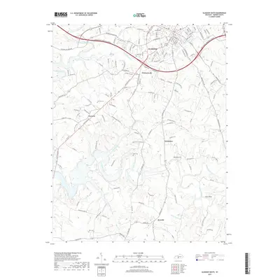
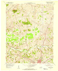 1954 Glasgow North1956 Print · USGSBarren County, Kentucky, thrives in the mid-fifties as a hub of rural commerce and community life anchored by the city of Glasgow. Genealogists and historians can trace family locations through numerous landmarks like Browders Chapel, Sinking Spring Sch, and the Oil Wells of Oil City.
 - 1956 Map of Corbin, 1966 Print
 1956 Corbin1966 Print · USGSThe Kentucky and Tennessee borderlands are captured here in the mid-fifties, showing the region's shift toward modern interstate travel and reservoir development. Genealogists and historians can trace old community lines near Albany and Monticello or locate early rail junctions along the Southern and Tennessee Central lines.3 unique versions available
 - 1957 Map of Winchester, 1968 Print
 1957 Winchester1968 Print · USGSCentral Kentucky's landscape in the mid-twentieth century features the sprawling Fort Knox and the early parkway system. Genealogists and historians can trace rail lines like the Southern Railway and find landmarks from Bernheim Forest to Pilot Knob.3 unique versions available
 - 1958 Map of Corbin
 1958 Corbin1958 Print · USGSThe Upper Cumberland borderlands appear in the late 1950s as massive reservoirs and early atomic-era growth reshape the region. Trace family roots and vanished landmarks near Lake Cumberland, Oak Ridge, and the Cumberland National Forest.
 - 1960 Map of Winchester
 1960 Winchester1960 Print · USGSCentral Kentucky's diverse landscape is shown here at mid-century, from the bluegrass plains to the rugged Pottsville Escarpment. Genealogists and historians can trace the rail-and-river network connecting towns like Bardstown and Stanford alongside landmarks like Lake Cumberland.
 - 1965 Map of Glasgow North, 1966 Print
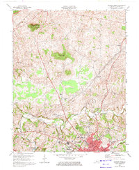
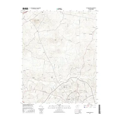
 1965 Glasgow North1966 Print · USGSBarren County's karst landscape and rural crossroads are captured here during a period of mid-century growth north of Glasgow. Researchers can trace family history through local landmarks like Goodnight, Oil City, and rural churches such as Harlow Chapel and Salem Ch.
 - 1965 Map of Glasgow South, 1967 Print
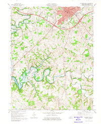
 1965 Glasgow South1967 Print · USGSBarren County during the mid-sixties shows the growth of Glasgow alongside a robust rural petroleum economy. Genealogists and local historians can trace family locations near Pritchardsville, Barlow Cem, and schools like Bunche High Sch.
 - 1973 Map of Glasgow North, 1974 Print
 1973 Glasgow North1974 Print · USGSBarren County in the early seventies shows a landscape shaped by petroleum extraction and karst geography. Researchers can find many family-named country churches like Mt Tabor Ch, local landmarks like Crystal Onyx Cave, and the small settlement of Goodnight.2 unique versions available
 - 1973 Map of Glasgow South, 1975 Print
 1973 Glasgow South1975 Print · USGSMid-century Barren County shows the growth of Glasgow and the surrounding rural communities of Bristletown and Haywood during a period of industrial change. Genealogists can locate family landmarks like Sloan Ch, Terry Sch, and the South Fork Cem.2 unique versions available
 - 1985 Map of Tompkinsville, 1986 Print
 1985 Tompkinsville1986 Print · USGSThe Kentucky-Tennessee borderlands come into focus in the mid-1980s, showcasing a landscape of river-fed valleys and rural crossroads. Genealogists and local historians can trace family locations from Glasgow and Edmonton to the distinctively named Eighty Eight, Bugtussle, and Akersville.2 unique versions available
 - 1986 Map of Campbellsville
 1986 Campbellsville1986 Print · USGSCentral Kentucky in the mid-eighties was a landscape of deep river valleys and high ridges. Genealogists can trace family holdings near rural settlements like Phillipsburg or locate landmarks such as Mt Gilead Ch and the Magnolia Gas Storage Field.2 unique versions available
 - 2010 Map of Glasgow South, 2010 Print
 2010 Glasgow South2010 Print · USGSCovers Glasgow, including Bristletown, Pritchardsville, and other nearby areas
 - 2010 Map of Glasgow North, 2010 Print
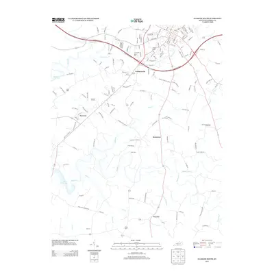
 2010 Glasgow North2010 Print · USGSCovers Glasgow, including Cave City, Carden, and other nearby areas
 - 2013 Map of Glasgow South, 2013 Print
 2013 Glasgow South2013 Print · USGSCovers Glasgow, including Bristletown, Pritchardsville, and other nearby areas
 - 2013 Map of Glasgow North, 2013 Print
 2013 Glasgow North2013 Print · USGSCovers Glasgow, including Cave City, Carden, and other nearby areas
 - 2016 Map of Glasgow North, 2016 Print
 2016 Glasgow North2016 Print · USGSCovers Glasgow, including Cave City, Carden, and other nearby areas
 - 2016 Map of Glasgow South, 2016 Print
 2016 Glasgow South2016 Print · USGSCovers Glasgow, including Bristletown, Pritchardsville, and other nearby areas
 - 2019 Map of Glasgow South, 2019 Print
 2019 Glasgow South2019 Print · USGSCovers Glasgow, including Bristletown, Pritchardsville, and other nearby areas
 - 2019 Map of Glasgow North, 2019 Print
 2019 Glasgow North2019 Print · USGSCovers Glasgow, including Cave City, Carden, and other nearby areas
 - 2022 Map of Glasgow North, 2022 Print
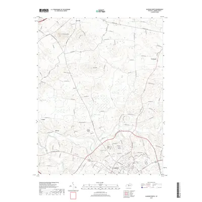
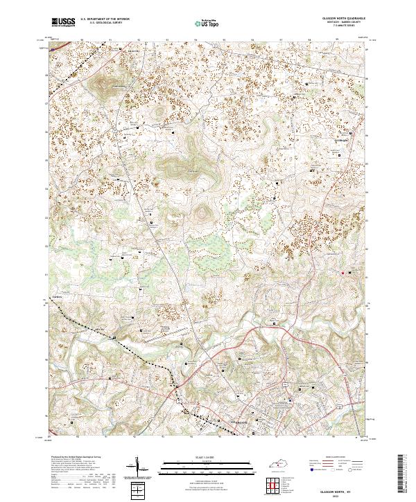 2022 Glasgow North2022 Print · USGSBarren County's northern corridor around Glasgow is shown here in detail during the early twenty-first century. Genealogists and local historians can trace family land markers and rural heritage sites such as Old Glasgow Cem, Prewitts Knob, and the settlement of Oil City.
 - 2022 Map of Glasgow South, 2022 Print
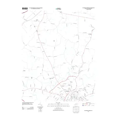
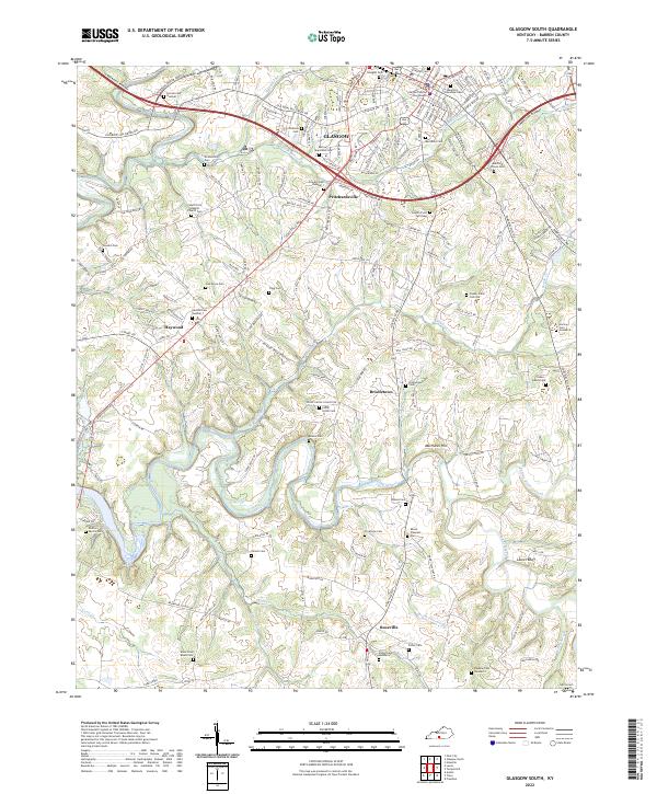 2022 Glasgow South2022 Print · USGSBarren County in the early 2020s shows a complex mix of modern civic development and deep-rooted rural history. Family historians can trace numerous sites like South Fork Baptist Church Cem, Bristletown, and the Barren County Courthouse.
End of results
Showing maps 1-24 of 24
Top cities near Glasgow
Frequently asked questions
- What are the different types of historical maps available for Glasgow?
- What is the oldest map of Glasgow?
- Where can I purchase historical maps of Glasgow for my home or office?
- Where can I download high-res historical maps of Glasgow?
- Are there historical topographic maps available for Glasgow?
- Is there historical aerial imagery available for Glasgow?
- Where are historical maps of Glasgow sourced from?