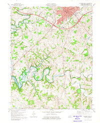
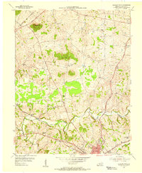
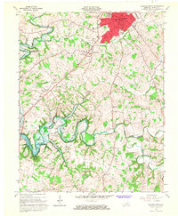
1973 Map of Glasgow South
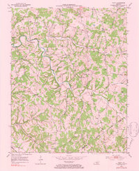
USGS Topo · Published 1975This historical map portrays the area of Glasgow South in 1973, primarily covering Barren County. Featuring a scale of 1:24000, this map provides a highly detailed snapshot of the terrain, roads, buildings, counties, and historical landmarks in the Glasgow South region at the time. Published in 1975, it is one of 2 known editions of this map due to revisions or reprints.
Find a feature on this map
47 named features on this map. Tap any name to fly to it.
Don’t see what you’re looking for? This feature index may not catch every label — zoom into the map to look around manually.
Map Details
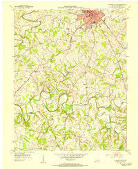
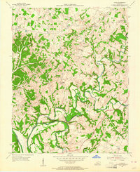
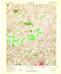
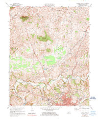
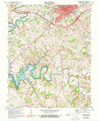
Editions of this 1973 Glasgow South Map
2 editions found
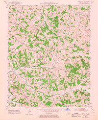
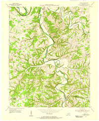
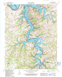
Historical Maps of Glasgow Through Time
13 maps found
1953 Glasgow South
Barren County, KY
1953 Temple Hill
Barren County, KY

1953 Tracy
Barren County, KY
1954 Austin
Barren County, KY
1954 Glasgow North
Barren County, KY
1954 Lucas
Barren County, KY
1965 Austin
Barren County, KY
1965 Glasgow North
Barren County, KY
1965 Glasgow South
Barren County, KY
1973 Glasgow North
Barren County, KY
1973 Glasgow South
Barren County, KY
1973 Temple Hill
Barren County, KY
1979 Tracy
Barren County, KY