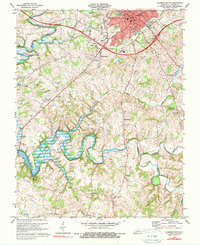
1973 Map of Glasgow South
USGS Topo · Published 1979About this map
The sprawling waters of Barren River Lake dominate the southwestern landscape of Barren County in the early 1970s. This survey illustrates the intricate interface between the rising reservoir and the rural community, where the Skaggs Creek and Beaver Creek valleys were reshaped by the impoundment. The city of Glasgow sits at the northern edge, showing a detailed layout of civic infrastructure including the County High Sch and Bunched High Sch, alongside the Cumberland Toll Road passing through the outskirts.
Find a feature on this map
41 named features on this map. Tap any name to fly to it.
Don’t see what you’re looking for? This feature index may not catch every label — zoom into the map to look around manually.
Map Details
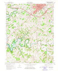
Editions of this 1973 Glasgow South Map
2 editions found
Other maps of this area

1922 · Mammoth Cave
USGS Topo · 1:62,500

1923 · Mammoth Cave
USGS Topo · 1:62,500

1926 · Scottsville
USGS Topo · 1:62,500

1935 · Horse Cave
USGS Topo · 1:48,000

1938 · Horse Cave
USGS Topo · 1:62,500

1953 · Tracy
USGS Topo · 1:24,000

1953 · Temple Hill
USGS Topo · 1:24,000

1953 · Glasgow South
USGS Topo · 1:24,000

1953 · Freedom
USGS Topo · 1:24,000

1954 · Evansville
USGS Topo · 1:250,000