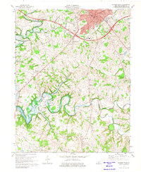
1973 Map of Glasgow South
USGS Topo · Published 1975About this map
The city of Glasgow serves as the focal point of this Barren County landscape, showing significant educational and civic infrastructure including Bunche High Sch, Liberty Street Sch, and Glasgow High Sch. The town's expansion is evident in the residential clusters near Woodland Park and the developing Shopping Center at the city's western edge. Southward, the terrain is defined by the winding course of the Barren River and its major tributaries, Skaggs Creek and Falling Timber Creek.
Find a feature on this map
47 named features on this map. Tap any name to fly to it.
Don’t see what you’re looking for? This feature index may not catch every label — zoom into the map to look around manually.
Map Details
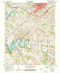
Editions of this 1973 Glasgow South Map
2 editions found
Other maps of this area

1922 · Mammoth Cave
USGS Topo · 1:62,500

1923 · Mammoth Cave
USGS Topo · 1:62,500

1926 · Scottsville
USGS Topo · 1:62,500

1935 · Horse Cave
USGS Topo · 1:48,000

1938 · Horse Cave
USGS Topo · 1:62,500

1953 · Tracy
USGS Topo · 1:24,000

1953 · Temple Hill
USGS Topo · 1:24,000

1953 · Glasgow South
USGS Topo · 1:24,000

1953 · Freedom
USGS Topo · 1:24,000

1954 · Evansville
USGS Topo · 1:250,000