Old Maps of Clermont, Kentucky for Genealogy
Trace your family roots with 13 historic maps of Clermont. These high-res maps reveal old neighborhoods, homesites, landmarks, and streets — helping you uncover where your ancestors lived and how the area evolved over time.
- Explore historic neighborhoods: Identify where your relatives may have lived in the 1800s or 1900s.
- Compare maps over time: Trace the changes in streets, buildings, and landmarks for multi-generational research.
- Perfect for genealogy & ancestry research: Used by family historians and researchers to map out lineage and migration.
These maps are an incredible resource for exploring your personal connection to Clermont's past.
Clermont, KY maps
(13)- 1949 Map of Shepherdsville, 1952 Print
 1949 Shepherdsville1952 Print · USGSBullitt County in the late 1940s is captured here as a landscape of river-bend settlements and rail-line junctions. Genealogists can locate family landmarks like Maraman Cem and Hall Cem, or trace the rail network through Bardstown Junction and Belmont.
 - 1949 Map of Shepherdsville, 1959 Print
 1949 Shepherdsville1959 Print · USGSBullitt and Nelson counties are shown here in the late 1940s, a landscape shaped by the Salt River and the expanding Bernheim Forest. Researchers can trace rural life through old schools like Woodsdale Sch and the rail-side activity at Bardstown Junction.
 - 1957 Map of Winchester, 1968 Print
 1957 Winchester1968 Print · USGSCentral Kentucky's landscape in the mid-twentieth century features the sprawling Fort Knox and the early parkway system. Genealogists and historians can trace rail lines like the Southern Railway and find landmarks from Bernheim Forest to Pilot Knob.3 unique versions available
 - 1960 Map of Winchester
 1960 Winchester1960 Print · USGSCentral Kentucky's diverse landscape is shown here at mid-century, from the bluegrass plains to the rugged Pottsville Escarpment. Genealogists and historians can trace the rail-and-river network connecting towns like Bardstown and Stanford alongside landmarks like Lake Cumberland.
 - 1962 Map of Shepherdsville, 1964 Print
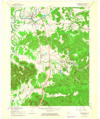 1962 Shepherdsville1964 Print · USGSShepherdsville and the surrounding knobs area are shown in the early sixties, as the turnpike and rail lines connected Bullitt County to the wider region. Researchers can trace family roots at Beech Grove Cem or locate old community centers like Roby Sch and Clermont.3 unique versions available
 - 1981 Map of Elizabethtown, 1983 Print
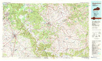 1981 Elizabethtown1983 Print · USGSCentral Kentucky in the early eighties shows a landscape of military installations, state parks, and historic sites. Genealogists and historians can trace rail lines like the Louisville and Nashville or locate sites like Lebanon National Cemetery and the Lincoln Memorial National Historic Site.
 - 1991 Map of Shepherdsville, 1992 Print
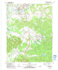 1991 Shepherdsville1992 Print · USGSThe Salt River valley in Bullitt County is shown here in the early nineties as modern highway infrastructure met established rural communities. Researchers can trace family history through several burial grounds like Maraman Cem and Watkins Cem, or locate landmarks such as Bardstown Junction and the Arboretum Cedar Lakes.
 - 1998 Map of Shepherdsville, 2001 Print
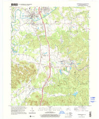 1998 Shepherdsville2001 Print · USGSBullitt County’s rolling knobs and river valleys are captured here in the late nineties as the region balanced its railroad heritage with rural preservation. Researchers can trace the path of the L & N RR through Bardstown Junction and locate family landmarks like Bowmans Valley Ch or Lee Cem.
 - 2010 Map of Shepherdsville, 2010 Print
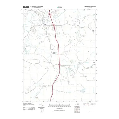 2010 Shepherdsville2010 Print · USGSShepherdsville and the surrounding Bullitt County landscape are documented here in the early twenty-first century. Family history researchers can locate several small burial sites, such as Maraman Cemetery and Smith Cemetery, while tracing the terrain around Bardstown Junction and Clermont.
 - 2013 Map of Shepherdsville, 2013 Print
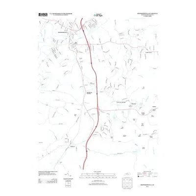 2013 Shepherdsville2013 Print · USGSShepherdsville and the Salt River valley are captured here just after the turn of the millennium. Researchers can trace family history through numerous landmarks like Maraman Cem, Bardstown Junction, and the historic community of Clermont.
 - 2016 Map of Shepherdsville, 2016 Print
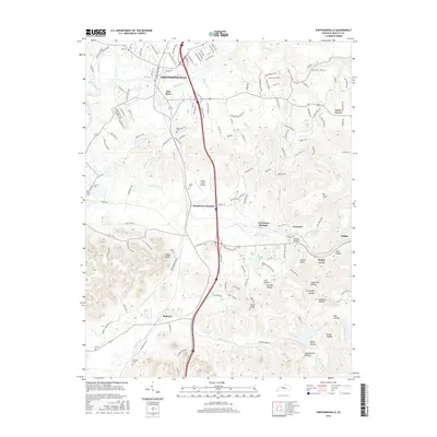 2016 Shepherdsville2016 Print · USGSBullitt County’s rolling hills and river valleys are captured here in the mid-2010s as the landscape balances growing communities with its rugged terrain. Researchers can locate numerous family burial sites like Maraman Cem and trace the paths of Buffalo Run and Long Lick Cr through the knobs.
 - 2019 Map of Shepherdsville, 2019 Print
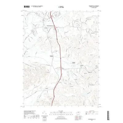 2019 Shepherdsville2019 Print · USGSBullitt County in the late 2010s shows a landscape where historic river towns and family cemeteries meet modern transit hubs. Genealogists and historians can trace lineages through Maraman Cemetery and Shelton Cemetery, or explore the rail-and-river geography of Bardstown Junction and Shepherdsville.
 - 2022 Map of Shepherdsville, 2022 Print
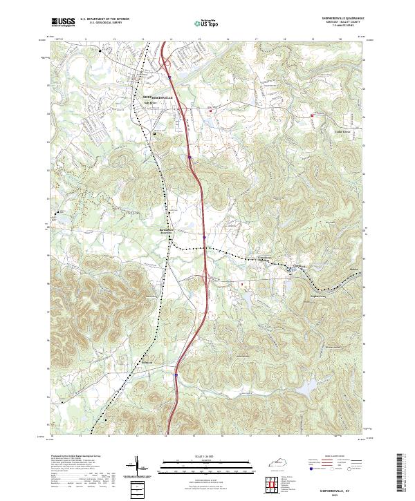 2022 Shepherdsville2022 Print · USGSThe Bullitt County seat and its southern neighbors are captured here in the early 2020s as modern infrastructure meets established hollows. Researchers can trace land patterns near Bardstown Junction, the rural settlement at Belmont, and landmarks like Lake Nevin.
End of results
Showing maps 1-13 of 13
Top cities near Clermont
- Louisville historical maps
- Elizabethtown historical maps
- Mount Washington historical maps
- Bardstown historical maps
- Shepherdsville historical maps
- Hillview historical maps
See more
Frequently asked questions
- What are the different types of historical maps available for Clermont?
- What is the oldest map of Clermont?
- Where can I purchase historical maps of Clermont for my home or office?
- Where can I download high-res historical maps of Clermont?
- Are there historical topographic maps available for Clermont?
- Is there historical aerial imagery available for Clermont?
- Where are historical maps of Clermont sourced from?