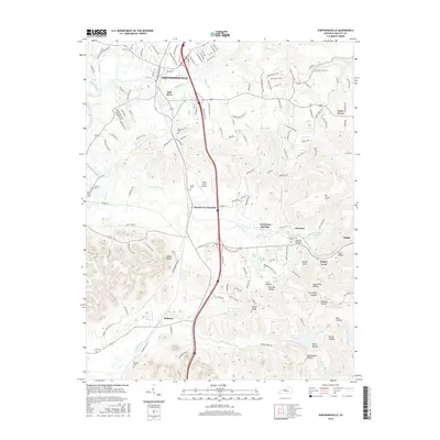
2016 Map of Shepherdsville
USGS Topo · Published 2016About this map
Shepherdsville and the Salt River define this central Kentucky landscape, where the river winds through a region marked by significant elevation changes and deep valleys. The terrain transitions from the developed corridors near Bardstown Junction to the isolated knobs and hollows of the south and east. Numerous small family burying grounds, including Maraman Cem, Smith Cem, and Lee Cem, are scattered across the quadrangle, offering critical data points for genealogists tracking early Bullitt County families.
Find a feature on this map
147 named features on this map. Tap any name to fly to it.
Don’t see what you’re looking for? This feature index may not catch every label — zoom into the map to look around manually.
Map Details
Editions of this 2016 Shepherdsville Map
This is the sole edition of this map. No revisions or reprints were ever made.
Other maps of this area

1907 · Louisville
USGS Topo · 1:62,500

1909 · Kosmosdale
USGS Topo · 1:48,000

1912 · Kosmosdale
USGS Topo · 1:62,500

1936 · Vine Grove
USGS Topo · 1:62,500

1943 · Vine Grove
USGS Topo · 1:62,500

1946 · Pitts Point
USGS Topo · 1:24,000

1946 · Colesburg
USGS Topo · 1:24,000

1946 · Vine Grove
USGS Topo · 1:62,500

1949 · Cravens
USGS Topo · 1:24,000

1949 · Shepherdsville
USGS Topo · 1:24,000