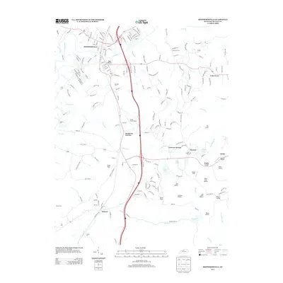
2013 Map of Shepherdsville
USGS Topo · Published 2013About this map
The Salt River carves through the heart of Bullitt County, anchoring the regional hub of Shepherdsville where the CSX Transportation railroad and Interstate 65 converge. This modern survey illustrates the development of the area south of the river, where the rail line passes through historical railway points like Bardstown Junction and Clermont. The landscape is a mix of lowland river plains and prominent knobs, including Indian Knob and Britts Knob, which overlook the surrounding hollows. Numerous family cemeteries are preserved across the terrain, such as Maraman Cem, Smith Cem, and Hall Cem, providing essential markers for genealogical research. The map also documents the presence of Shady Acres Airport and the complex drainage of the Buffalo Run and Lickskillet Cr watersheds, which have shaped the local agricultural and settlement patterns for generations.
Find a feature on this map
53 named features on this map. Tap any name to fly to it.
Don’t see what you’re looking for? This feature index may not catch every label — zoom into the map to look around manually.
Map Details
Editions of this 2013 Shepherdsville Map
This is the sole edition of this map. No revisions or reprints were ever made.
Other maps of this area

1907 · Louisville
USGS Topo · 1:62,500

1909 · Kosmosdale
USGS Topo · 1:48,000

1912 · Kosmosdale
USGS Topo · 1:62,500

1936 · Vine Grove
USGS Topo · 1:62,500

1943 · Vine Grove
USGS Topo · 1:62,500

1946 · Pitts Point
USGS Topo · 1:24,000

1946 · Colesburg
USGS Topo · 1:24,000

1946 · Vine Grove
USGS Topo · 1:62,500

1949 · Cravens
USGS Topo · 1:24,000

1949 · Shepherdsville
USGS Topo · 1:24,000