Old Maps of Mount Washington, Kentucky for Metal Detecting
Plan your next treasure hunt with 22 historic maps of Mount Washington. Find old homesites, ghost towns, trails, and gathering spots that may be lost to time — perfect for identifying promising metal detecting locations.
- Locate forgotten sites: Uncover places like long-lost settlements, abandoned rail lines, or gathering spots.
- Plan better hunts: Use map overlays combined with LiDAR or satellite views to narrow in on historically rich areas.
- Made for detectorists: Thousands of hobbyists use these maps to discover relics, coins, and hidden history.
Use these historic maps to boost your research and find new opportunities beneath the surface of Mount Washington.
Mount Washington, KY maps
(22)- 1907 Map of Louisville
 1907 Louisville1907 Print · USGSLouisville and the rolling hills of Jefferson and Bullitt counties are captured here in the early 1900s. Researchers can trace ancestral connections through sites like Cave Hill Cemetery, Pleasant Grove Schoolhouse, and the river crossing at Bells Mill Ford.3 unique versions available
 - 1929 Map of Taylorsville
 1929 Taylorsville1929 Print · USGSSpencer and Shelby counties are shown here in the late twenties, where the Salt River meets a network of early rail and pike roads. Genealogists can trace family lands near Shiloh Church, Beechwood School, and the settlement of Simpsonville.2 unique versions available
 - 1951 Map of Waterford
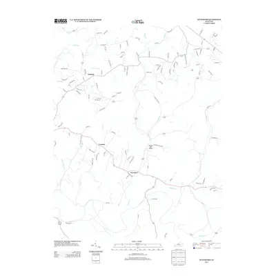
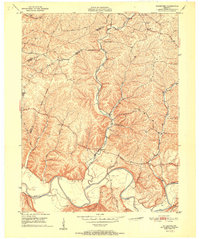 1951 Waterford1951 Print · USGSSpencer and Bullitt counties are mapped here in the early fifties, showing the rural landscape along the meandering Salt River. Genealogists can trace family connections through local landmarks like Carrithers Chapel, Whitfield, and the Locust Grove Sch.
 - 1951 Map of Mount Washington
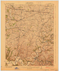
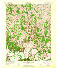
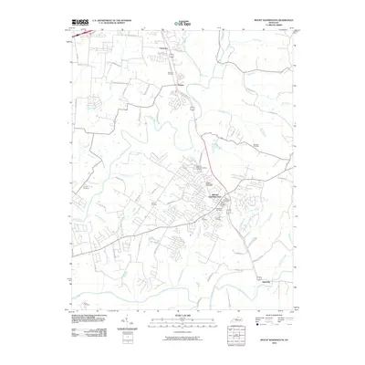
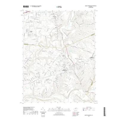
 1951 Mount Washington1951 Print · USGSThe crossroads of Bullitt and Jefferson counties come into focus in the early fifties, centered on the growing community of Mount Washington. Researchers can trace rural life along the Salt River through landmarks like Bethel Church, Lovvorn School, and numerous family plots like the Gentry Cemetery.
 - 1951 Map of Louisville, 1959 Print
 1951 Louisville1959 Print · USGSGreater Louisville and Bullitt County are seen here in a period of rapid suburban growth following the war. Researchers can trace family history through dozens of landmarks like Evergreen Cemetery, Camp Taylor, and the rural schools of Okolona.
 - 1956 Map of Louisville, 1971 Print
 1956 Louisville1971 Print · USGSThe Ohio River valley and the Kentucky Bluegrass are captured here during a period of rapid mid-century growth and industrial activity. Genealogists and historians can trace rail-centered towns and military land use at Fort Knox and the Jefferson Proving Ground.2 unique versions available
 - 1959 Map of Mount Washington, 1960 Print
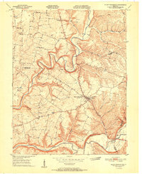
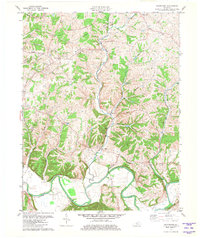
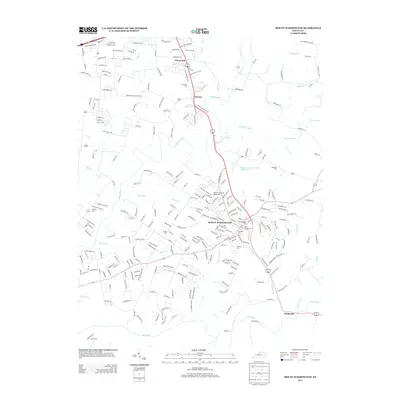
 1959 Mount Washington1960 Print · USGSMount Washington and the Bullitt County countryside appear here in the late fifties, just as the rural road network began to modernize. Researchers can trace ancestral locations near St Francis Cem, Fairmount, and the banks of the Salt River.2 unique versions available
 - 1960 Map of Waterford, 1961 Print
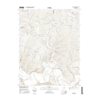
 1960 Waterford1961 Print · USGSCentral Kentucky's rural river valleys and county boundaries are captured here in the early 1960s. Genealogists and local historians can locate Waterford, Whitfield, and the Carrithers Chapel among the winding paths of the Salt River.
 - 1964 Map of Louisville
 1964 Louisville1964 Print · USGSThe Ohio River valley and Kentucky Bluegrass are captured in the mid-1960s, showing a region balanced between industrial growth and its agrarian roots. Genealogists and historians can trace the development of county seats like Shelbyville and Paris, or locate established institutions such as Georgetown College and Bernheim Forest.
 - 1981 Map of Waterford
 1981 Waterford1981 Print · USGSSpencer and Bullitt counties are captured here in the early 1980s, showcasing a landscape defined by the deep valleys of the Salt River. Local researchers can trace family landmarks and rural crossings near Waterford, Wilsonville, and Wheelers Ridge.3 unique versions available
 - 1982 Map of Mount Washington
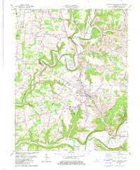 1982 Mount Washington1982 Print · USGSMount Washington and the Bullitt County borderlands are shown here in the early eighties as rural life and suburban growth began to meet. Researchers can find numerous family cemeteries and country churches, from St Francis Cem to Oak Grove Ch.3 unique versions available
 - 1986 Map of Louisville
 1986 Louisville1986 Print · USGSMid-1980s Louisville and southern Indiana are shown here during a decade of significant suburban growth and infrastructure development. Researchers can trace the layout of Cave Hill Cemetery, the expansion of Standiford Field, and industrial sites like the Indiana Army Ammunition Plant.2 unique versions available
 - 2010 Map of Waterford, 2010 Print
 2010 Waterford2010 Print · USGSCovers Mount Washington, including Louisville, Whitfield, and other nearby areas
 - 2010 Map of Mount Washington, 2010 Print
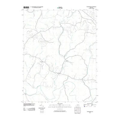
 2010 Mount Washington2010 Print · USGSCovers Mount Washington, including Louisville, Thixton, and other nearby areas
 - 2013 Map of Mount Washington, 2013 Print
 2013 Mount Washington2013 Print · USGSCovers Mount Washington, including Louisville, Thixton, and other nearby areas
 - 2013 Map of Waterford, 2013 Print
 2013 Waterford2013 Print · USGSCovers Mount Washington, including Louisville, Whitfield, and other nearby areas
 - 2016 Map of Waterford, 2016 Print
 2016 Waterford2016 Print · USGSCovers Mount Washington, including Louisville, Whitfield, and other nearby areas
 - 2016 Map of Mount Washington, 2016 Print
 2016 Mount Washington2016 Print · USGSCovers Mount Washington, including Louisville, Thixton, and other nearby areas
 - 2019 Map of Waterford, 2019 Print
 2019 Waterford2019 Print · USGSCovers Mount Washington, including Louisville, Whitfield, and other nearby areas
 - 2019 Map of Mount Washington, 2019 Print
 2019 Mount Washington2019 Print · USGSCovers Mount Washington, including Louisville, Thixton, and other nearby areas
 - 2022 Map of Mount Washington, 2022 Print
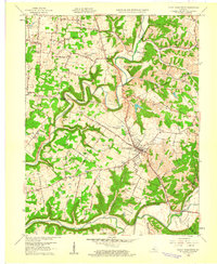
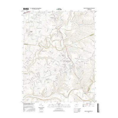
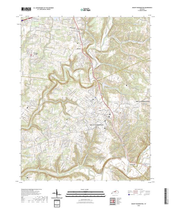 2022 Mount Washington2022 Print · USGSMount Washington and its surrounding Bullitt County communities are captured here in the early 2020s as residential growth meets the river valleys. Researchers can trace local heritage through numerous burial sites like Mount Washington Cem or explore the geography of Floyds Fork and Smithville.
 - 2022 Map of Waterford, 2022 Print
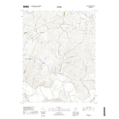
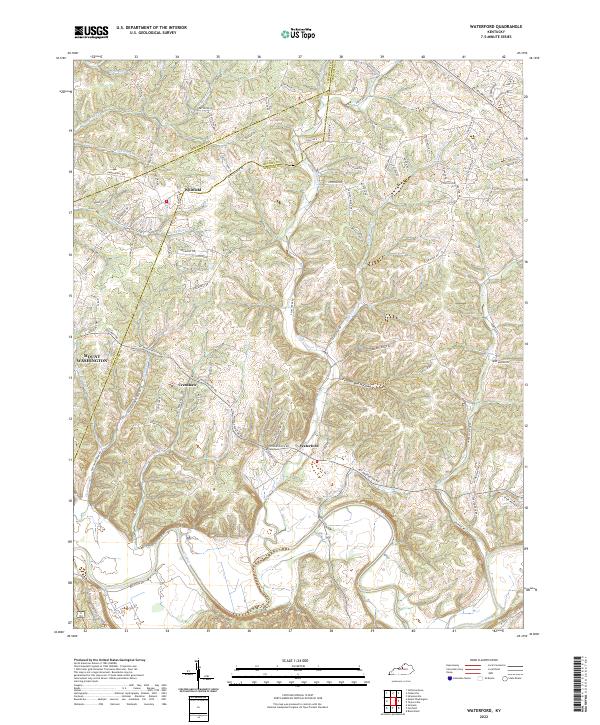 2022 Waterford2022 Print · USGSThe Salt River valley and the historic settlement of Waterford are captured in this modern survey of the Spencer County countryside. Researchers can trace family landmarks along Plum Creek, the drainage of Feather Bed Hollow, and the rural crossroads of Whitfield.
End of results
Showing maps 1-22 of 22
Top cities near Mount Washington
- Louisville historical maps
- Jeffersonville historical maps
- New Albany historical maps
- Jeffersontown historical maps
- Clarksville historical maps
- Shively historical maps
See more
Frequently asked questions
- What are the different types of historical maps available for Mount Washington?
- What is the oldest map of Mount Washington?
- Where can I purchase historical maps of Mount Washington for my home or office?
- Where can I download high-res historical maps of Mount Washington?
- Are there historical topographic maps available for Mount Washington?
- Is there historical aerial imagery available for Mount Washington?
- Where are historical maps of Mount Washington sourced from?