2000s (21st Century) Maps of Carroll County, Kentucky
Explore 35 historic maps of Carroll County from the 2000s (21st Century). These maps offer a rare glimpse into what life looked like during the 2000s — showing old roads, neighborhoods, homes, and landmarks that have changed or disappeared over time.
Whether you're researching your family's past, planning a metal detecting trip, or studying how Carroll County's landscape evolved across the 2000s, these high-resolution maps are a powerful tool for exploring the history of this region.
- Focus on a specific era: All maps on this page are from the 2000s, giving you a focused view of this time period.
- See what’s changed: Compare century-old streets, trails, and buildings to today's modern landscape using overlays and satellite layers.
- Research with precision: Use these maps for genealogy, historical research, land use analysis, or educational projects.
- View, download, or print: Maps are fully viewable online in high resolution, and can be downloaded or printed for your own records.
Start exploring Carroll County's history through authentic maps from the 2000s. This is your window into the past.
Carroll County, KY maps
(35)- 2010 Map of Worthville, 2010 Print
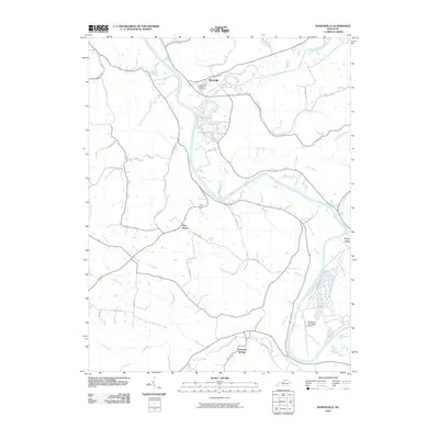 2010 Worthville2010 Print · USGSThe Kentucky River valley near Worthville comes into sharp focus during the early twenty-first century. Genealogists and local historians can trace the road networks around Worthville, Port Royal, and the Worthville Masonic Cemetery.
 - 2010 Map of Sanders, 2010 Print
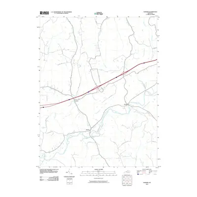 2010 Sanders2010 Print · USGSCarroll County settlements and the winding course of Eagle Creek are captured in the late 2000s. Genealogists and local historians can trace family locations along Sanders, Sparta, and the banks of Stephens Creek or Twomile Creek.
 - 2010 Map of Campbellsburg, 2010 Print
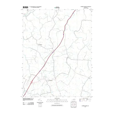 2010 Campbellsburg2010 Print · USGSThe community of Campbellsburg and its surrounding rural corridors are captured here during the first decade of the new millennium. Genealogists and local historians can trace family-named roads like Skidmore Ln and Montfort Ln while following the many branches of the Little Kentucky River.
 - 2010 Map of Madison East, 2010 Print
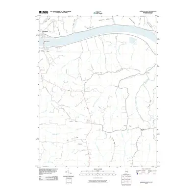 2010 Madison East2010 Print · USGSThe riverfront communities of Madison and Milton are captured here as they appeared in 2010, connected by the Madison Bridge over the Ohio River. Researchers can trace rural Kentucky settlements like Locust and Monitor or find local landmarks such as Moffett Cemetery and Callis Grove Campground.
 - 2010 Map of Carrollton, 2010 Print
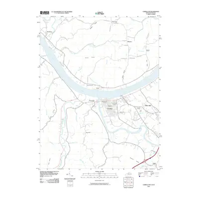 2010 Carrollton2010 Print · USGSCarrollton sits at the historic meeting of the Ohio and Kentucky Rivers during the first decade of the new millennium. Researchers can trace family history through numerous sites like the Carrollton IOOF Cemetery and Gap Hill Cemetery, or locate local landmarks such as Robinson Airport.
 - 2010 Map of Vevay South, 2010 Print
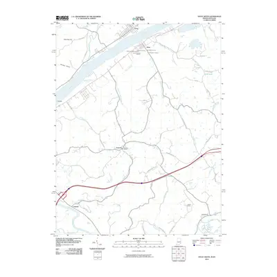 2010 Vevay South2010 Print · USGSCrossing the Ohio River near the Indiana-Kentucky border, this survey captures the riverfront communities of Vevay and Ghent in the early twenty-first century. Genealogists can trace a remarkable number of family burial grounds, such as Whitehead Cemetery, Stafford Cemetery, and the Ghent IOOF Cemetery.
 - 2010 Map of Vevay North, 2010 Print
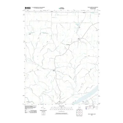 2010 Vevay North2010 Print · USGSThe northern banks of the Ohio River and the rural ridges of Switzerland County are documented here in 2010. Researchers can trace family ties and local history through small settlements like Mount Sterling and Allensville, or burial sites at Stow Cemetery.
 - 2013 Map of Sanders, 2013 Print
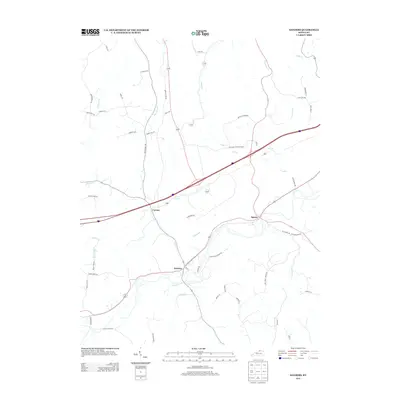 2013 Sanders2013 Print · USGSThe rural Kentucky communities of Sanders and Sparta are captured here in the early twenty-first century, showcasing a landscape of winding creek valleys and farm roads. Researchers can trace local routes like Sparta-Sanders Rd or the banks of Goose Cr and Lick Cr.
 - 2013 Map of Campbellsburg, 2013 Print
 2013 Campbellsburg2013 Print · USGSCampbellsburg and its surrounding hamlets are captured in this recent survey of northern Kentucky’s agricultural heartland. Genealogists and local historians can trace family-named roads and rural settlements like Turners Station, Lacie, and the Barnes Railroad Siding.
 - 2013 Map of Worthville, 2013 Print
 2013 Worthville2013 Print · USGSThe Kentucky River and Eagle Creek converge at Worthville in this early twenty-first-century survey of Carroll County. Genealogists and researchers can trace local landmarks like Worthville Masonic Cem, the settlement of Port Royal, and the winding course of Drennon Cr near Drennon Springs.
 - 2013 Map of Carrollton, 2013 Print
 2013 Carrollton2013 Print · USGSThe confluence of the Ohio and Kentucky Rivers defines this Kentucky borderland in the early 2010s. Researchers can trace local lineage through numerous burial sites including Old Bethel Cem and the Carrollton IOOF Cem, or explore the riverside landings of Prestonville and Lamb.
 - 2013 Map of Vevay North, 2013 Print
 2013 Vevay North2013 Print · USGSThe northern reaches of Switzerland County and the riverfront at Vevay appear here in the early 2010s. Researchers can trace rural settlement patterns from Allensville down to the Ohio River, locating landmarks like Vevay Island and Roberts Airport.
 - 2013 Map of Madison East, 2013 Print
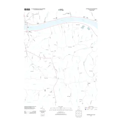 2013 Madison East2013 Print · USGSThe Ohio River valley and the high ridges of Trimble County are captured here in the early 2010s. Researchers can trace rural life and terrain through settlements like Milton and Locust, or find family-named landmarks such as Leeport Ridge and Big Cedar Cliffs.
 - 2013 Map of Vevay South, 2013 Print
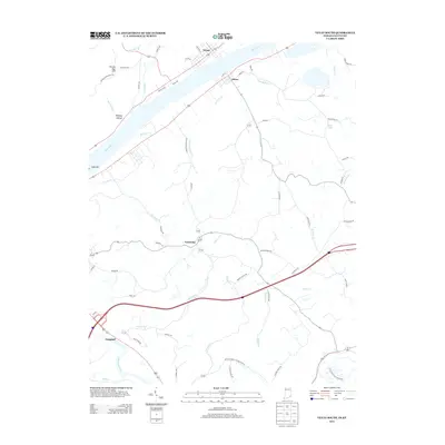 2013 Vevay South2013 Print · USGSThe Ohio River valley at the Indiana-Kentucky border comes alive in this 2013 record of the riverfront and its uplands. Genealogists can trace family footprints from the streets of Vevay and Ghent to rural landmarks like Potato Bug Hill and the settlement of Easterday.
 - 2016 Map of Campbellsburg, 2016 Print
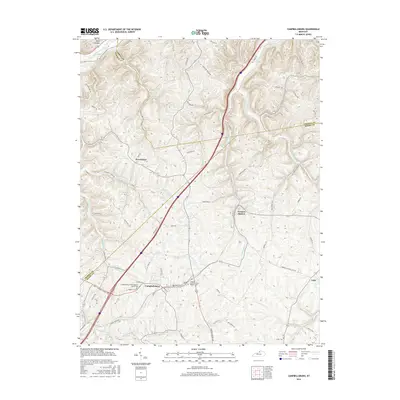 2016 Campbellsburg2016 Print · USGSHenry County and surrounding northern Kentucky communities are documented here in the mid-2010s, showing a landscape shaped by the Little Kentucky River. Genealogists can trace family landmarks and burial sites like Masonic Cemetery and Antill Cemetery near Campbellsburg.
 - 2016 Map of Worthville, 2016 Print
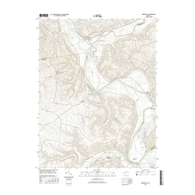 2016 Worthville2016 Print · USGSNorth Central Kentucky's river valleys are captured here in the mid-2010s, showing the intersection of three counties along the Kentucky River. Researchers can locate family sites like the Worthville Masonic Cem and Vance Cem or trace the old paths of Springport Ferry Rd.
 - 2016 Map of Carrollton, 2016 Print
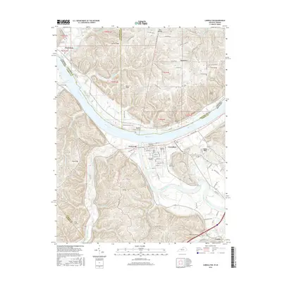 2016 Carrollton2016 Print · USGSThe confluence of the Ohio River and Kentucky River comes into focus in this modern record of the Kentucky-Indiana border. Genealogists can trace local history through numerous sites like Carrollton IOOF Cem, Old Bethel Cem, and the riverfront at Craw Daddy Landing.
 - 2016 Map of Sanders, 2016 Print
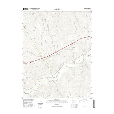 2016 Sanders2016 Print · USGSThe tri-county border area of Kentucky is captured here in the mid-2010s, centered on the creek-side communities of Sanders and Sparta. Researchers can trace old family road names and rural drainage patterns along Eagle Creek, Goose Cr, and Hathaway Ridge.
 - 2016 Map of Madison East, 2016 Print
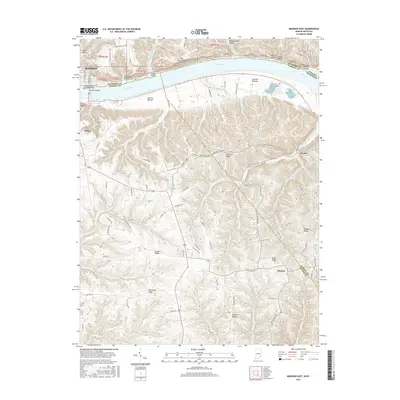 2016 Madison East2016 Print · USGSThe borderlands of Indiana and Kentucky meet here along the Ohio River during the mid-2010s. Genealogists and local historians can trace the geography of settlements like Locust and Monitor, or locate the Moffett Cem near the river bluffs.
 - 2016 Map of Vevay South, 2016 Print
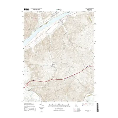 2016 Vevay South2016 Print · USGSThe border between Indiana and Kentucky is defined here by the river valley in the mid-2010s, centering on the historic river towns of Vevay and Ghent. Researchers can trace old family sites and burial grounds like Whitehead Cem and the Ghents Old Black Cem.
 - 2016 Map of Vevay North, 2016 Print
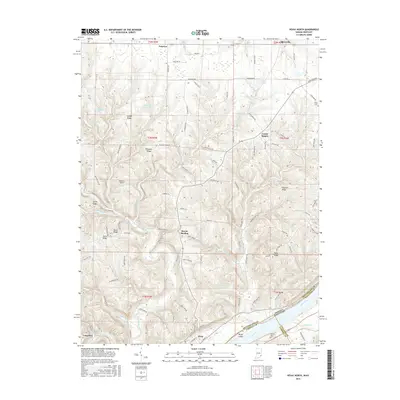 2016 Vevay North2016 Print · USGSThe northern riverfront of Vevay and its surrounding ridge-top communities are captured here in the mid-2010s. Genealogists and local historians can trace family locations near Mount Sterling, locate the Stow Cem, or follow the winding path of Hunts Creek.
 - 2019 Map of Carrollton, 2019 Print
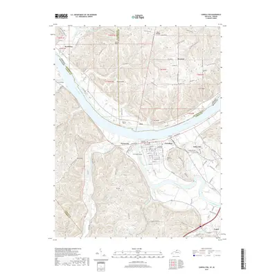 2019 Carrollton2019 Print · USGSThe confluence of the Ohio and Kentucky Rivers defines this region at the end of the 2010s. Researchers can trace riverfront history at Craw Daddy Landing and locate family burial sites at Methodist Church Cem and General Butler Cem.
 - 2019 Map of Worthville, 2019 Print
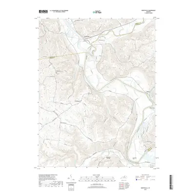 2019 Worthville2019 Print · USGSThe Kentucky River and Eagle Creek converge at Worthville in this modern survey of the tri-county border. Researchers can trace rural cemetery sites like Pleasant Union Methodist Church Cem and old river landings near Moxley and Horseshoe Bend.
 - 2019 Map of Campbellsburg, 2019 Print
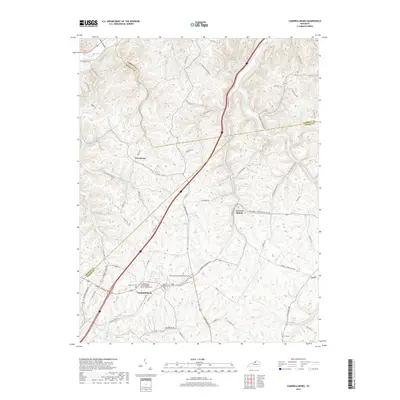 2019 Campbellsburg2019 Print · USGSHenry County rural life is captured here during the late 2010s. Genealogists can trace family names and local landmarks through sites like Masonic Cem, Antill Cem, and the Sulphur Fork Primitive Baptist Cem.
 - 2019 Map of Sanders, 2019 Print
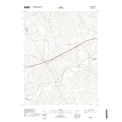 2019 Sanders2019 Print · USGSThe Eagle Creek valley and the borders of Carroll, Gallatin, and Owen Counties come into focus in the late 2010s. Local researchers can trace family lands and rural routes near Sanders, Sparta, and the small settlement at Carson.
Showing maps 1-25 of 35
Top cities of Carroll County
- Carrollton historical maps
- Ghent historical maps
- Sanders historical maps
- Worthville historical maps
- Prestonville historical maps
Frequently asked questions
- What are the different types of historical maps available for Carroll County?
- What is the oldest map of Carroll County?
- Where can I purchase historical maps of Carroll County for my home or office?
- Where can I download high-res historical maps of Carroll County?
- Are there historical topographic maps available for Carroll County?
- Is there historical aerial imagery available for Carroll County?
- Where are historical maps of Carroll County sourced from?