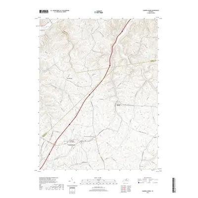
2019 Map of Campbellsburg
USGS Topo · Published 2019About this map
Campbellsburg sits at the southern heart of this Henry County landscape, where regional routes like Campbellsburg Rd and Carrollton Rd converge. The topography is defined by the winding drainages of Mill Cr and its tributaries, creating a deeply dissected terrain that influenced the placement of early settlements and family cemeteries. Significant sites for local history include the Sulphur Fork Primitive Baptist Cem and the Campbellsburg Second Baptist Church (Black) Cem, both providing critical anchors for genealogical research. Further north, Turners Station and Providence mark smaller centers of community life, connected by a network of rural roads such as Tom Town Rd and Daugherty Creek Rd. The map also traces the jurisdictional boundaries where Henry County meets Trimble and Carroll counties, following natural ridgelines and watercourses like Georges Cr.
Find a feature on this map
77 named features on this map. Tap any name to fly to it.
Don’t see what you’re looking for? This feature index may not catch every label — zoom into the map to look around manually.
Map Details
Editions of this 2019 Campbellsburg Map
This is the sole edition of this map. No revisions or reprints were ever made.
Other maps of this area

1928 · New Castle
USGS Topo · 1:48,000

1932 · New Castle
USGS Topo · 1:62,500

1932 · La Grange
USGS Topo · 1:62,500

1943 · Brooksburg
USGS Topo · 1:24,000

1943 · Vevay South
USGS Topo · 1:24,000

1952 · Vevay South
USGS Topo · 1:24,000

1952 · Worthville
USGS Topo · 1:24,000

1952 · Campbellsburg
USGS Topo · 1:24,000

1953 · Bedford
USGS Topo · 1:24,000

1953 · Carrollton
USGS Topo · 1:24,000