2010s Maps of Daviess County, Kentucky
Explore 72 historic maps of Daviess County from the 2010s. These maps offer a rare glimpse into what life looked like during the 2010s — showing old roads, neighborhoods, homes, and landmarks that have changed or disappeared over time.
Whether you're researching your family's past, planning a metal detecting trip, or studying how Daviess County's landscape evolved across the 2010s, these high-resolution maps are a powerful tool for exploring the history of this region.
- Focus on a specific era: All maps on this page are from the 2010s, giving you a focused view of this time period.
- See what’s changed: Compare century-old streets, trails, and buildings to today's modern landscape using overlays and satellite layers.
- Research with precision: Use these maps for genealogy, historical research, land use analysis, or educational projects.
- View, download, or print: Maps are fully viewable online in high resolution, and can be downloaded or printed for your own records.
Start exploring Daviess County's history through authentic maps from the 2010s. This is your window into the past.
Daviess County, KY maps
(72)- 2010 Map of Delaware, 2010 Print
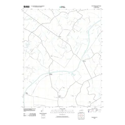 2010 Delaware2010 Print · USGSThe Green River bends through McLean County at the start of the millennium, anchoring a landscape of family farms and river landings. Genealogists can trace local history through Nunn Cemetery, Rangers Landing, and the community of Comer.
 - 2010 Map of Pellville, 2010 Print
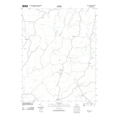 2010 Pellville2010 Print · USGSNorthwestern Kentucky farm country and small rural settlements are documented here in the early twenty-first century. Genealogists can locate family-named sites like Chambers Cemetery or trace the roads connecting Pellville and Utility.
 - 2010 Map of Whitesville, 2010 Print
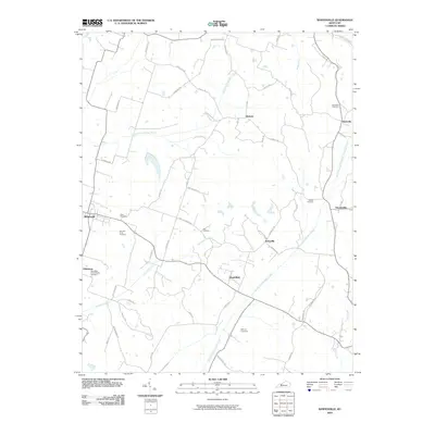 2010 Whitesville2010 Print · USGSThe rural landscape of Daviess County in the early twenty-first century is captured here, centered on the community of Whitesville. Genealogists can trace family heritage through numerous burial sites like Barnetts Knob Cemetery and the settlement at Aetnaville.
 - 2010 Map of Curdsville, 2010 Print
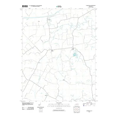 2010 Curdsville2010 Print · USGSMcLean County agricultural lands and river bottoms are documented here in the early twenty-first century. Genealogists can trace family connections at the Old Macedonia Cemetery or McCain Cemetery and locate homes near Saint Joseph and Wyman.
 - 2010 Map of Calhoun, 2010 Print
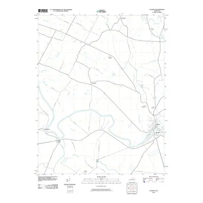 2010 Calhoun2010 Print · USGSMcLean County's river-driven landscape is captured here as the new millennium began, centered on the Green River and the neighboring towns of Calhoun and Rumsey. Genealogists can trace family roots through the Calhoun Cemetery and rural settlements like Ashbyburg and Poverty.
 - 2010 Map of Panther, 2010 Print
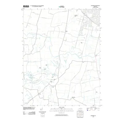 2010 Panther2010 Print · USGSThe rural outskirts of Owensboro are seen here in the early twenty-first century, characterized by small communities and family-named ridges. Researchers can trace the drainage of Panther Creek while locating landmarks like Windy Hollow Lakes and the Owensboro-Daviess County Airport.
 - 2010 Map of Pleasant Ridge, 2010 Print
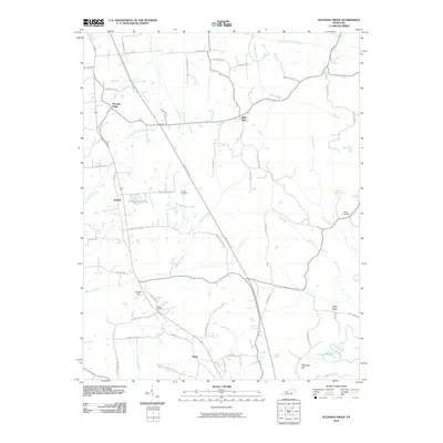 2010 Pleasant Ridge2010 Print · USGSOhio County at the start of the 2010s reveals a landscape of enduring rural settlements and family landmarks. Genealogists and local historians can locate the Dodson Cemetery, trace the path of Greasy Creek, and explore the community centers at Bells Run and Beda.
 - 2010 Map of Utica, 2010 Print
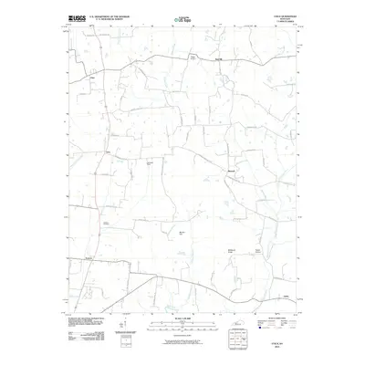 2010 Utica2010 Print · USGSThe agricultural heart of McLean and Daviess Counties is captured here in the early twenty-first century. Researchers can trace family history through sites like Atherton Cemetery and explore the rural road networks connecting Utica, Livia, and Nuckols.
 - 2010 Map of Glenville, 2010 Print
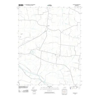 2010 Glenville2010 Print · USGSThe rural landscapes of McLean County are documented here in the early twenty-first century, centered on the communities of Glenville and Buel. Researchers can trace old family footprints along Guy Settle Rd, locate the Church Cemetery, and study the drainage of the Green River and Buck Creek.
 - 2010 Map of Maceo, 2010 Print
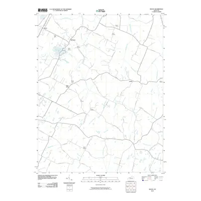 2010 Maceo2010 Print · USGSDaviess County’s rural crossroads and family homesteads are preserved here in the first decade of the new millennium. Researchers can trace ancestral locations through several small burial grounds like Hawes-Taylor Cemetery and explore the water-sculpted landscape of Carpenters Lake.
 - 2010 Map of Philpot, 2010 Print
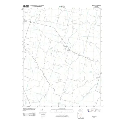 2010 Philpot2010 Print · USGSDaviess County at the turn of the decade reveals a landscape where rural crossroads like Philpot and Boston connect historic family farms. Genealogists and researchers can trace local landmarks like Bethbara Cemetery, the Grandview Gas Storage Field, and Poplar Log Bridge.
 - 2010 Map of Sutherland, 2010 Print
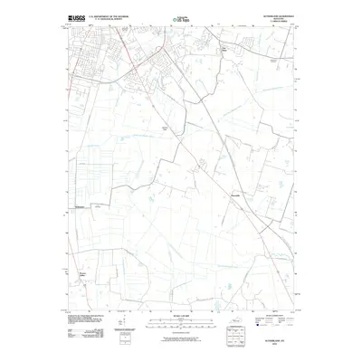 2010 Sutherland2010 Print · USGSDaviess County settlement in the early twenty-first century is defined by its creek-bound landscape and transitioning rural communities. Researchers can trace family sites near Hix Cemetery, the crossroads at Masonville, and the waters of South Fork Panther Creek.
 - 2010 Map of Rockport, 2010 Print
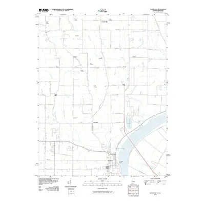 2010 Rockport2010 Print · USGSRockport and the Ohio River shoreline appear in great detail at the opening of the 21st century. Researchers can trace family history through many rural burial grounds like Pinkston Cemetery and Zoar Cemetery or explore the site of Lincoln Pioneer Village.
 - 2010 Map of Reed, 2010 Print
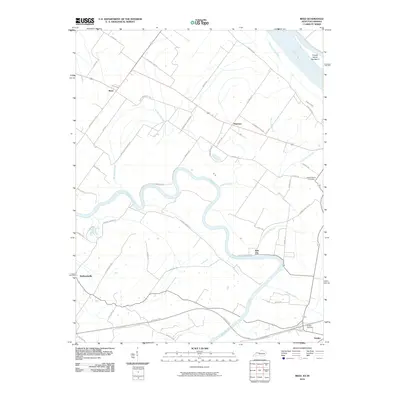 2010 Reed2010 Print · USGSThe confluence of the Ohio and Green Rivers comes into focus during the early twenty-first century. Genealogists and local historians can trace family-named roads and landmarks like Saint Peters Cemetery, Birk City, and the riverfront at French Island Number 2.
 - 2010 Map of Lewisport, 2010 Print
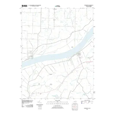 2010 Lewisport2010 Print · USGSThe Ohio River corridor comes into focus in this early 21st-century survey of the Kentucky-Indiana border. Researchers can trace local lineage through the Old Sergeant Cemetery, Sand Hill Cemetery, and the riverside streets of Lewisport and Grandview.
 - 2010 Map of Yankeetown, 2010 Print
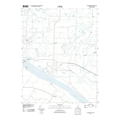 2010 Yankeetown2010 Print · USGSThe Indiana riverfront near Yankeetown appears in this 2010 survey just as the rural landscape of Warrick County maintained its traditional character. Family historians can locate Hedge Cemetery and trace the river economy at Vanada Landing or U S Dam Number Four.
 - 2010 Map of Owensboro West, 2010 Print
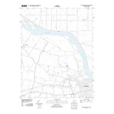 2010 Owensboro West2010 Print · USGSDaviess County's western edge and the banks of the Ohio River appear in detail during this 2010 survey. Researchers can trace family history at Fern Hill Cemetery and explore the rural road networks connecting Stanley and Griffith.
 - 2010 Map of Owensboro East, 2010 Print
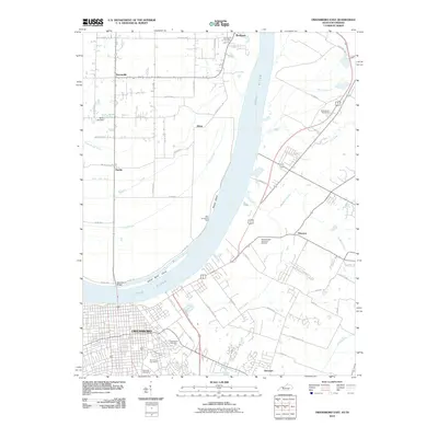 2010 Owensboro East2010 Print · USGSThe Ohio River corridor near Owensboro is captured here at a moment of modern growth and historical preservation. Genealogists can locate family sites at Elmwood Cemetery or Greenwood Cemetery, while tracing old river crossings like the Ellis-Smeathers Ferry.
 - 2013 Map of Maceo, 2013 Print
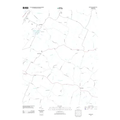 2013 Maceo2013 Print · USGSDaviess County's rural character is on full display here, showcasing established settlements and family lands in the early twenty-first century. Researchers can trace local heritage through numerous burial sites like Glover Cem and Webber Cem or follow the paths of Pup Cr and Hazel Ditch across the landscape.
 - 2013 Map of Pleasant Ridge, 2013 Print
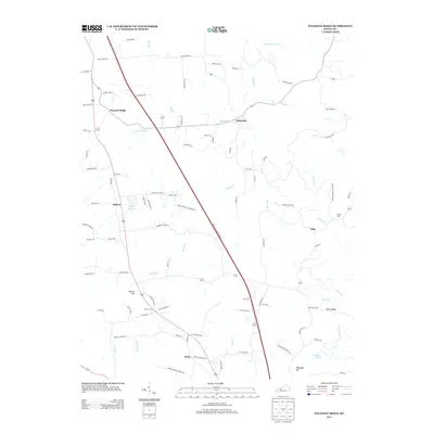 2013 Pleasant Ridge2013 Print · USGSOhio County's rolling ridges and rural crossroads come alive in this early twenty-first century survey. Genealogists and local historians can locate family burial sites like Dodson Cem and trace the paths of Bells Run and Whoopee Hill.
 - 2013 Map of Philpot, 2013 Print
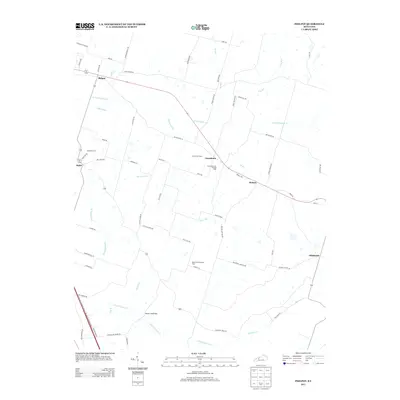 2013 Philpot2013 Print · USGSDaviess County’s rural communities and energy infrastructure are well-documented in this early twenty-first-century survey. Genealogists and local historians can trace family road names and locate sites like Bethbara Cem, Philpot, and the Grandview Gas Storage Field.
 - 2013 Map of Pellville, 2013 Print
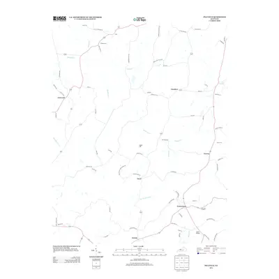 2013 Pellville2013 Print · USGSHancock County in the early 21st century remains a landscape of quiet rural settlements and family-named ridges. Genealogists and local historians can trace the locations of Oak Grove Cemetery and Powers Cem, or explore the crossroads at Floral and Goering.
 - 2013 Map of Lewisport, 2013 Print
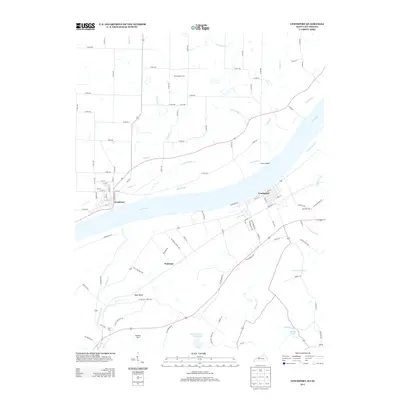 2013 Lewisport2013 Print · USGSThe Ohio River corridor between Kentucky and Indiana is captured here during the early 21st century. Genealogists and local researchers can trace the roads around Waitman or locate family burial sites at Sand Hill Cem and Kelly Cem.
 - 2013 Map of Whitesville, 2013 Print
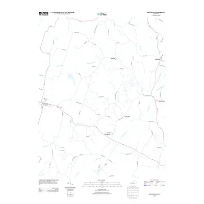 2013 Whitesville2013 Print · USGSWhitesville and the surrounding Daviess County countryside are captured here in the early twenty-first century as agricultural life follows the local creek forks. Genealogists and local historians can trace the rural layouts of Deanefield, Aetnaville, and Herbert along family-named routes like Roby Lease Rd and Bickett Rd.
 - 2013 Map of Panther, 2013 Print
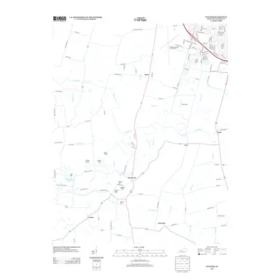 2013 Panther2013 Print · USGSDaviess County farmland and aviation hubs appear in detail in this recent survey of the Kentucky countryside south of Owensboro. Genealogists and locals can trace family-named landmarks like Dithey Hill and Nation Hill or explore the settlements of Panther and Moseleyville.
Showing maps 1-25 of 72
Top cities of Daviess County
Frequently asked questions
- What are the different types of historical maps available for Daviess County?
- What is the oldest map of Daviess County?
- Where can I purchase historical maps of Daviess County for my home or office?
- Where can I download high-res historical maps of Daviess County?
- Are there historical topographic maps available for Daviess County?
- Is there historical aerial imagery available for Daviess County?
- Where are historical maps of Daviess County sourced from?