2010s Maps of Elliott County, Kentucky
Explore 44 historic maps of Elliott County from the 2010s. These maps offer a rare glimpse into what life looked like during the 2010s — showing old roads, neighborhoods, homes, and landmarks that have changed or disappeared over time.
Whether you're researching your family's past, planning a metal detecting trip, or studying how Elliott County's landscape evolved across the 2010s, these high-resolution maps are a powerful tool for exploring the history of this region.
- Focus on a specific era: All maps on this page are from the 2010s, giving you a focused view of this time period.
- See what’s changed: Compare century-old streets, trails, and buildings to today's modern landscape using overlays and satellite layers.
- Research with precision: Use these maps for genealogy, historical research, land use analysis, or educational projects.
- View, download, or print: Maps are fully viewable online in high resolution, and can be downloaded or printed for your own records.
Start exploring Elliott County's history through authentic maps from the 2010s. This is your window into the past.
Elliott County, KY maps
(44)- 2010 Map of Bruin, 2010 Print
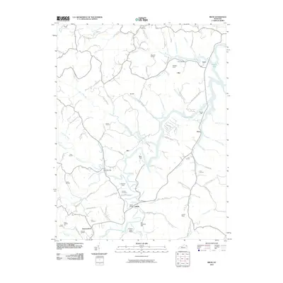 2010 Bruin2010 Print · USGSElliott County's rural character is well-preserved in this study of the hills and hollows surrounding the upper reaches of Grayson Lake. Researchers can trace old family sites and crossroads like Ibex, Newfoundland, and Bruin, or locate remote burials such as Mock Cemetery and Oney Cemetery.
 - 2010 Map of Lenox, 2010 Print
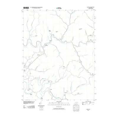 2010 Lenox2010 Print · USGSMorgan County is captured here in the early twenty-first century, showing the enduring rural layout of the Kentucky hills. Researchers can locate family roots at the Cottle Cemetery or trace old river crossings near Gordon Ford and Caskey Settlement.
 - 2010 Map of Isonville, 2010 Print
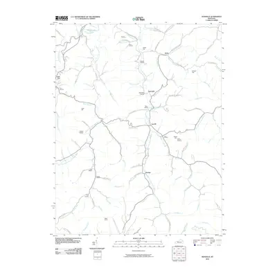 2010 Isonville2010 Print · USGSElliott County's rural landscape is captured here in the early twenty-first century, centered on the creek-side communities of Isonville and Newcombe. Genealogists can locate several family burial sites like the Arthur Bays Cemetery and landmark peaks such as Peters Hill OutTower.
 - 2010 Map of Olive Hill, 2010 Print
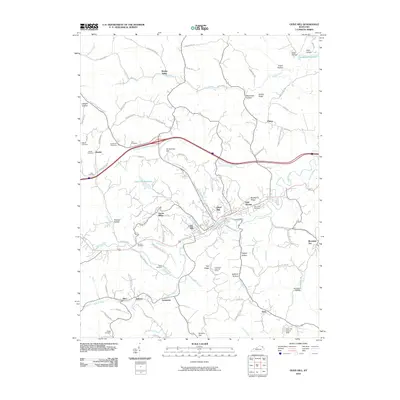 2010 Olive Hill2010 Print · USGSOlive Hill and the surrounding Carter County hollows are captured here at the start of the 2010s. Researchers can trace family roots through numerous sites like Ash Cemetery or Kilgore Cemetery, and locate landmarks such as the Tick Ridge Look Out Tower.
 - 2010 Map of Mazie, 2010 Print
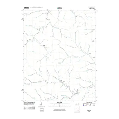 2010 Mazie2010 Print · USGSLawrence County at the start of the 21st century remains a landscape of tightly clustered valley settlements and deep family roots. Researchers can trace ancestral lines through numerous family plots like Rice Cemetery or find historic hubs like the Martha Post Office and Little Fork.
 - 2010 Map of Ault, 2010 Print
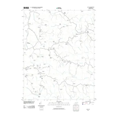 2010 Ault2010 Print · USGSEastern Kentucky's ridge country is documented here at the start of the decade, showing the deeply ingrained family settlements of Elliott County. Genealogists can locate specific ancestral sites like Fannin Crossing, the Gimlet Post Office, and the Beartown Church.
 - 2010 Map of Dingus, 2010 Print
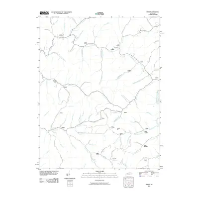 2010 Dingus2010 Print · USGSDingus and the surrounding Morgan County hollows are shown in detail as they appeared in 2010. Genealogists can trace ancestral land near Beculhimer Cemetery, Silverhill, and the winding waters of Open Fork Paint Creek.
 - 2010 Map of Sandy Hook, 2010 Print
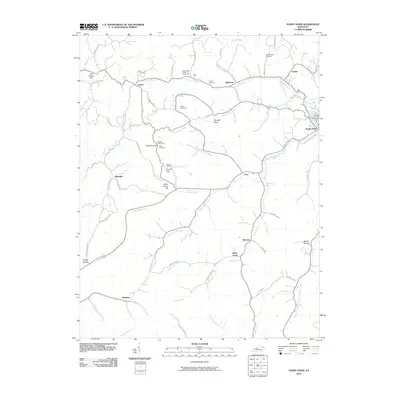 2010 Sandy Hook2010 Print · USGSSandy Hook and the headwaters of the Little Sandy River are mapped here in the early twenty-first century. Genealogists can locate several family burial sites like Whitt Cemetery and Adkins Cemetery among landmarks like Doctors Knob.
 - 2010 Map of Willard, 2010 Print
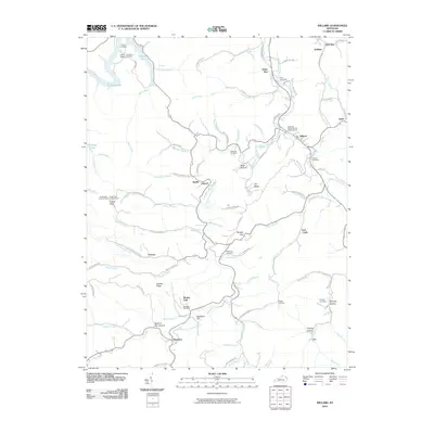 2010 Willard2010 Print · USGSThe hill country of eastern Kentucky comes into focus here during the early twenty-first century. Family history researchers can locate numerous burial sites and small settlements, such as the Kitchen Cemetery, Beetle, and the Mountain Chapel United Baptist Church.
 - 2011 Map of Wrigley, 2011 Print
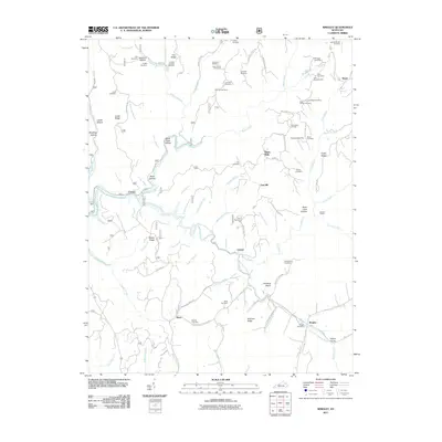 2011 Wrigley2011 Print · USGSMorgan and Rowan Counties in the early 2010s are defined by the winding valley of the North Fork Licking River. Genealogists and local historians can locate numerous family-named landmarks like Blairs Mills, Kidd-White Cemetery, and Winding Stairs.
 - 2011 Map of Haldeman, 2011 Print
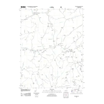 2011 Haldeman2011 Print · USGSEastern Kentucky's hollows and ridges were meticulously documented in the early twenty-first century, showing a landscape shaped by narrow valleys and family legacies. Genealogists can locate dozens of remote burial sites, such as the Abbott-Sturgill Cemetery and Goodan-Fultz Cemetery, near the hamlet of Elliottville.
 - 2013 Map of Willard, 2013 Print
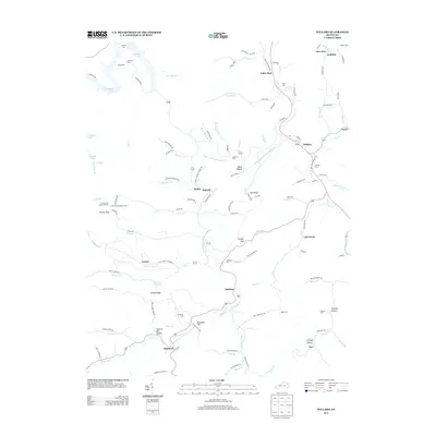 2013 Willard2013 Print · USGSThe rural valleys of northeastern Kentucky are captured here in the early twenty-first century, showing a landscape of family-run hollows and winding waterways. Researchers can trace ancestral locations near Backbone Cem, the settlement of Willard, and the high ground at Frazier Flat Lookout Tower.
 - 2013 Map of Mazie, 2013 Print
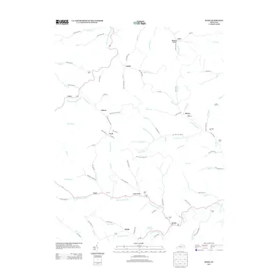 2013 Mazie2013 Print · USGSEastern Kentucky's rural landscape is detailed here just after the turn of the twenty-first century, showing the small communities of Mazie and Martha. Genealogists can trace family heritage at Jason Boggs Cem, Rice Cem, and Dobyns Cem along the forks of Blaine Cr.
 - 2013 Map of Haldeman, 2013 Print
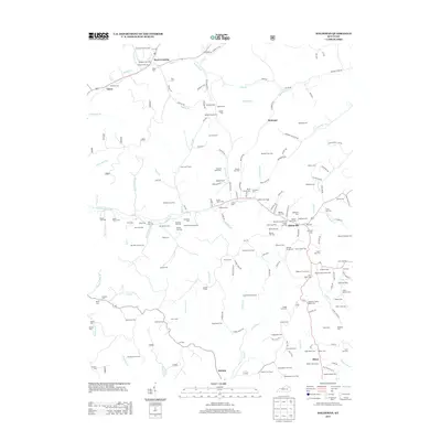 2013 Haldeman2013 Print · USGSRowan County at the start of the 2010s reveals a landscape deeply anchored by family history and rural settlements. Researchers can trace ancestral locations across dozens of sites like the Goodan-Fultz Cem and Benjamin Caudill Cem near Elliottville.
 - 2013 Map of Dingus, 2013 Print
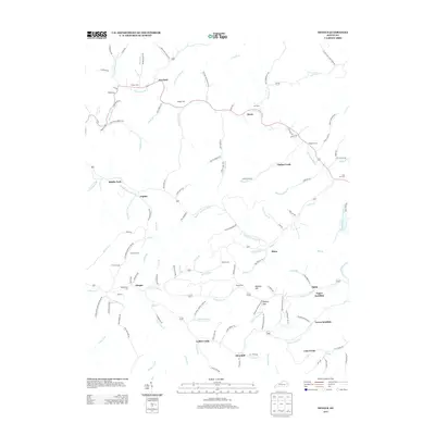 2013 Dingus2013 Print · USGSEastern Kentucky's branch-water communities are mapped here in the early twenty-first century. Researchers can trace family names across Crockett, Moon, and Dingus or locate cemeteries like Ferguson Cem and Beculhimer Cem.
 - 2013 Map of Isonville, 2013 Print
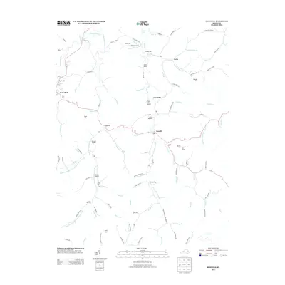 2013 Isonville2013 Print · USGSThe hills of Elliott County are captured here at the start of the second decade of the millennium. Genealogists and local historians can trace family-named landmarks and resting places like Watson Cem, Arthur Bays Cem, and the Peters Hill Look Out Tower.
 - 2013 Map of Ault, 2013 Print
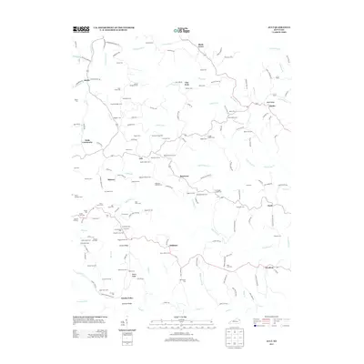 2013 Ault2013 Print · USGSElliott County's rural communities and family ridge-lines are documented here in the early twenty-first century. Genealogists can locate specific ancestral sites like Beartown Church, Fannin Crossing, and the Norman Henderson Cem.
 - 2013 Map of Wrigley, 2013 Print
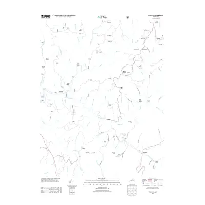 2013 Wrigley2013 Print · USGSEastern Kentucky's ridge-and-hollow country is documented here in the early twenty-first century, showing a landscape defined by ancestral family lands. Genealogists can trace hundreds of names through burial sites like Dillion Cem and Kidd Family Cem or locate the old post office at Wrigley.
 - 2013 Map of Sandy Hook, 2013 Print
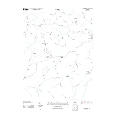 2013 Sandy Hook2013 Print · USGSElliott County's winding river valleys and family settlements are captured in this modern survey. Genealogists and local historians can locate many family landmarks including Whitt Cem, the Doctors Knob Tower, and the community of Redwine.
 - 2013 Map of Bruin, 2013 Print
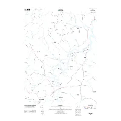 2013 Bruin2013 Print · USGSThe Little Sandy River valley and its surrounding hollows are captured here in the early twenty-first century. Researchers can trace family history through numerous remote burial sites like Kegley Cem and Gray Cem, or locate landmarks such as Lick Falls.
 - 2013 Map of Olive Hill, 2013 Print
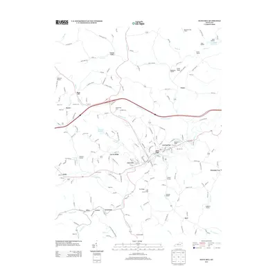 2013 Olive Hill2013 Print · USGSThe hill country of Carter County comes into focus in the early twenty-first century, centered on the community of Olive Hill. Researchers can trace family sites across the ridges, from the Tick Ridge Look Out Tower to numerous family plots like Henderson Cem and Biggs Cem.
 - 2013 Map of Lenox, 2013 Print
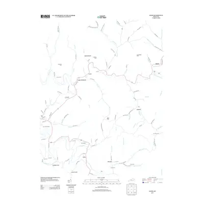 2013 Lenox2013 Print · USGSMorgan County is shown here in the early twenty-first century, a landscape of deep creek valleys and high knobs. Genealogists and local historians can locate family landmarks such as Caskey Settlement, the West Liberty Lookout Tower, and numerous sites like Easterling Cem.
 - 2016 Map of Wrigley, 2016 Print
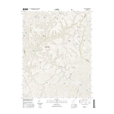 2016 Wrigley2016 Print · USGSEastern Kentucky's rugged tri-county borderlands are documented here in the mid-2010s, showing a landscape of deep hollows and family-named ridges. Genealogists can trace decades of local heritage through sites like Bishop Cem, Blairs Mills, and the Kidd Family Cem.
 - 2016 Map of Bruin, 2016 Print
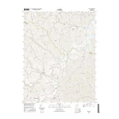 2016 Bruin2016 Print · USGSNorth of Elliott County in the mid-2010s, this area shows a landscape of deep hollows and the expansive Grayson Lake. Family researchers can locate numerous burial sites like Flannery Cem and King Cem near the settlements of Ibex and Newfoundland.
 - 2016 Map of Olive Hill, 2016 Print
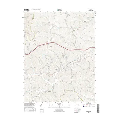 2016 Olive Hill2016 Print · USGSEastern Kentucky's hill country is documented here in the mid-2010s, centered on the community of Olive Hill and its surrounding ridges. Family historians can trace local roots through numerous sites like Olive Hill Cem, Kilgore Cem, and the upland settlement of Rose Hill.
Showing maps 1-25 of 44
Top cities of Elliott County
Frequently asked questions
- What are the different types of historical maps available for Elliott County?
- What is the oldest map of Elliott County?
- Where can I purchase historical maps of Elliott County for my home or office?
- Where can I download high-res historical maps of Elliott County?
- Are there historical topographic maps available for Elliott County?
- Is there historical aerial imagery available for Elliott County?
- Where are historical maps of Elliott County sourced from?